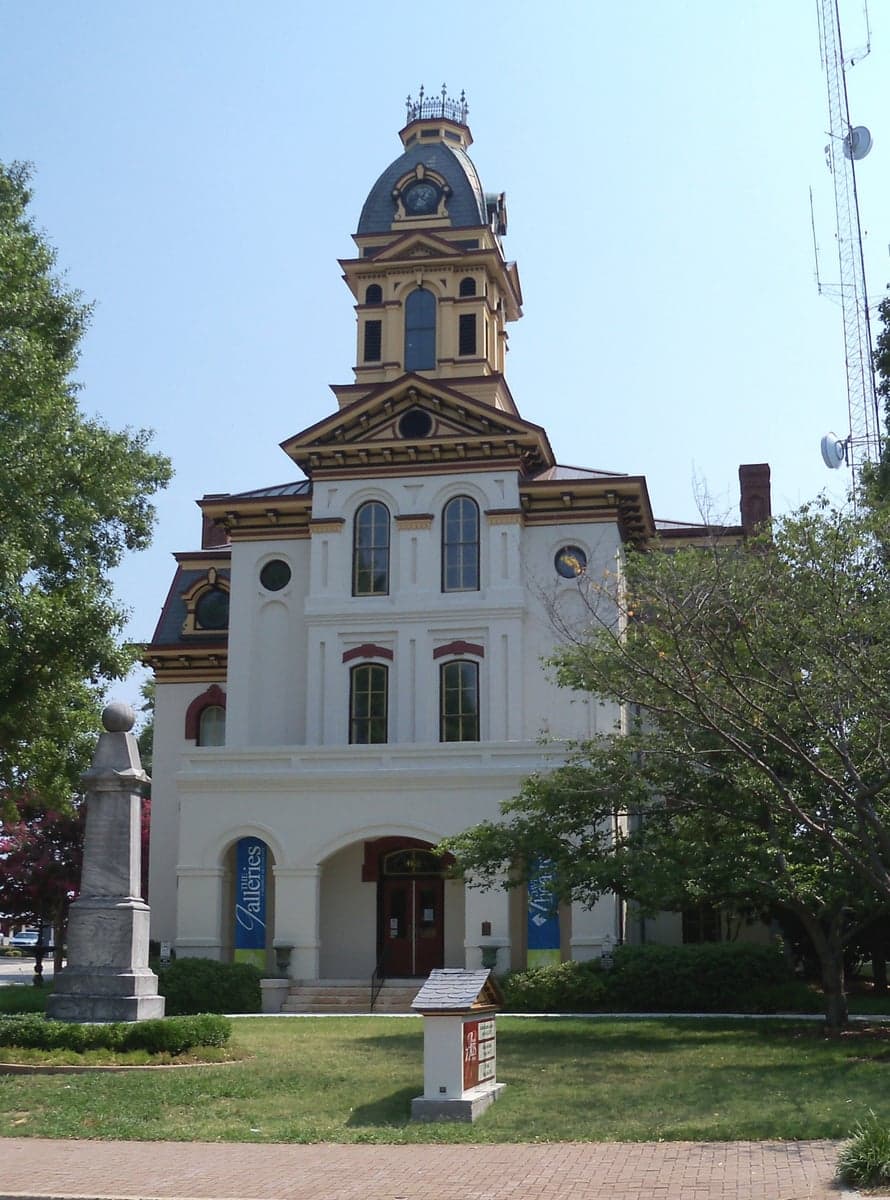
Photo: Wikipedia
Strategic Assessment of Cabarrus County
Meaningful friction. Expect exposure to either population pressure, blast zones, or natural disaster risk. Consider buying a retreat property.
What does the Strategic Assessment tell us?
Our Strategic Assessment grades tactical survivability of an area. Major population centers, military targets, fallout zones, natural disasters, and border exposure all drive risk — lower exposure means a more defensible position in a crisis.
This is heavily inspired by Joel Skousen's Strategic Relocation book. Highly recommended you checkout the book ($)What does this tell us?
Our Strategic Assessment grades tactical survivability of an area. Major population centers, military targets, fallout zones, natural disasters, and border exposure all drive risk — lower exposure means a more defensible position in a crisis.
This is heavily inspired by Joel Skousen's Strategic Relocation book. Highly recommended you checkout the book ($)Strategic Pillars

Key Distances
Strategic Assessment Analysis
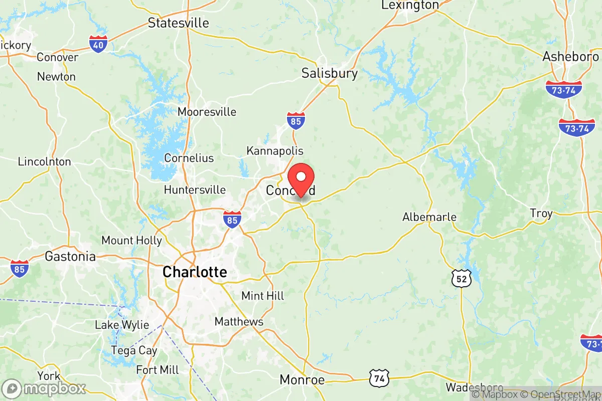
Cabarrus County, North Carolina, presents a mixed bag for the relocation-minded reader prioritizing resilience and self-sufficiency. Located in the Piedmont region, it sits roughly 20 minutes northeast of Charlotte, a major financial hub, and about 45 minutes from the state capital, Raleigh. This proximity to two major metropolitan centers provides robust economic opportunity and infrastructure access, but it also places residents within the shadow of a prime strategic target (Charlotte) and its associated vulnerabilities—from power grid strain to civil unrest. The county’s specific geography, anchored by the cities of Concord (the county seat) and Kannapolis, offers some natural advantages, but the overall picture demands a clear-eyed assessment of both its strengths and its very real risks for a reader who values preparedness.
Geographic position, natural defenses, and proximity to strategic assets
Cabarrus County’s location in the central Piedmont gives it a moderate elevation (roughly 700-800 feet above sea level) and a landscape of rolling hills and mixed hardwood forests, offering decent natural cover and defensible terrain compared to the flat coastal plain. The county lies within the Yadkin-Pee Dee River basin. The Catawba River forms its western boundary, and the Rocky River runs through its eastern portion. These water sources are significant for long-term water security, though they are not immune to contamination from upstream industrial activity or runoff. The county is about 100 miles from the Atlantic coast, putting it outside the worst of hurricane storm surge but still within the cone for significant inland flooding and wind damage from major storms (e.g., Hurricane Hugo in 1989, Hurricane Florence in 2018). Critically, Cabarrus is not near any major oil refineries, nuclear power plants (the closest is the Catawba Nuclear Station in York County, SC, about 30 miles southwest), or major military bases like Fort Liberty (formerly Fort Bragg), which is about 90 miles southeast. However, Charlotte Douglas International Airport (CLT) is a major air freight and passenger hub and a likely target in a conflict scenario; its fifth runway and cargo facilities make it a node in the national supply chain. The county itself hosts the Charlotte Motor Speedway in Concord, a potential rally point or FEMA staging area, which could draw crowds, and Concord-Padgett Regional Airport, a general aviation and military training field. For a relocator, the absence of a nearby military base or refinery is a net positive for reducing direct target risk, but the presence of major event venues and a secondary airport introduces some non-negligible crowd and logistical target considerations.
Risks, exposures, and proximity to fallout-relevant landmarks
The primary man-made risk for Cabarrus County is its proximity to Charlotte, a city of roughly 900,000 people (metro area over 2.6 million). In a major crisis—whether economic collapse, a pandemic, or a large-scale power outage—Charlotte would likely experience civil unrest, resource shortages, and potential evacuation flows. Interstate 85 and Interstate 77 cut through the county, making it a primary evacuation route from Charlotte to points north and west. This means that in a scenario requiring movement, Cabarrus residents would face heavy traffic and potential choke points. The county’s own population is substantial—over 230,000 residents as of 2023, concentrated in Concord (pop. ~105,000) and Kannapolis (pop. ~55,000), with growing suburban areas like Harrisburg and Midland. This density means that self-sufficiency for basic supplies (food, water, medical) would be under severe strain within 48-72 hours of a major event. Natural hazard risk is moderate. The area is not in a high-risk tornado zone (though severe thunderstorms and occasional weak tornadoes occur), and the risk of a major earthquake is very low. The most realistic natural threats are ice storms (which can knock out power for days), severe heat waves, and the aforementioned hurricane remnants. The county's emergency management is solid; Cabarrus County has a well-regarded emergency services department and a strong hospital network (Atrium Health in Concord and Kannapolis). But for a person thinking about off-grid resilience, the grid's exposure is real: a single ice storm in 2022 left over 10,000 without power for several days. The county's water supply is drawn primarily from the Catawba River, which is managed by Duke Energy and is subject to regional allocation agreements—not something a prepper can rely on in a prolonged drought or contamination event.
Practical resilience for a relocator: food, water, energy, and defensibility
Food and agriculture: Cabarrus County has a strong agricultural heritage, but it has been heavily suburbanized in recent decades. The county still has working farms (especially in the northern and eastern parts near Mount Pleasant and Richfield), but the overall food-production land base is shrinking. A relocator seeking land for a large garden or small livestock operation will find affordable acreage in the more rural corners of the county, but prices have risen sharply—expect $10,000-$15,000+ per acre for raw land with decent soil. The soil is primarily sandy loam, good for gardening with amendment, but the growing season is moderate (about 200 frost-free days). There is a local farmers' market culture (e.g., the Cabarrus County Farmers' Market in Concord), but it is not a substitute for self-reliance. Water: The Catawba River is the primary surface water source, but most residents are on municipal water systems. Well water is available in rural areas; drilling a well typically costs $5,000-$10,000, and the water quality is generally good (hard water is common). Rainwater catchment is legal and practical, with 50-55 inches of rain per year. Energy: Duke Energy provides electricity via the regional grid, with reliability that is average for the Southeast. Solar potential is decent (4.5-5 peak sun hours per day), making rooftop solar a viable investment for grid-down scenarios, but net metering rules are moderate—not as generous as in some other states. The county has no natural gas reserves or significant renewable energy projects beyond solar. Defensibility: The terrain is rolling and wooded, offering good natural cover. Rural properties in the northern and eastern parts of the county (near the Uwharrie National Forest, about 30 miles east) offer better retreat potential than suburban subdivisions in Concord or Kannapolis. Defensibility is moderate at best, as the county is crisscrossed by major highways and contains several population centers that would draw attention in a crisis. For a single individual or family, a well-chosen property on a dead-end road with good site lines and a reliable well would be above average for the Piedmont region, but overall, the area is not a fortress by any measure.
Strategic picture for the relocation-minded prepper: Cabarrus County offers a reasonable balance of economic opportunity and moderate physical security, but it is not a resilient stronghold. Its greatest strength—proximity to Charlotte and two interstates—is also its greatest vulnerability. For someone who needs to work in the Charlotte metro and wants a semi-rural property with decent soil, water access, and a lower risk of direct industrial attack, the northern and eastern parts of the county (around Mount Pleasant, Midland, and the unincorporated areas near the Stanly County line) are viable options. The public services (hospitals, police, fire) are strong, which is a plus for a family. But the county's population density and its role as an evacuation corridor mean that anyone serious about long-term self-sufficiency should look to northern Cabarrus or adjacent Stanly County for deeper retreat and lower population density. The presence of Charlotte's massive population and infrastructure is a persistent risk multiplier for anyone planning for a major societal disruption. Cabarrus is not a bug-out location; it is a semi-urban buffer zone that requires active planning for water, power, and security to be considered a viable relocation option for the prepared family.

* Values derived from national, state, county, city and local statistics and may differ in a specific area. Last updated: 2026-06-22T04:26:14.000Z
Narrative content on this page is AI-generated and may contain mistakes. Verify any details that matter before acting on them.
ReloMaps may earn a commission from affiliate links at no extra cost to you.

