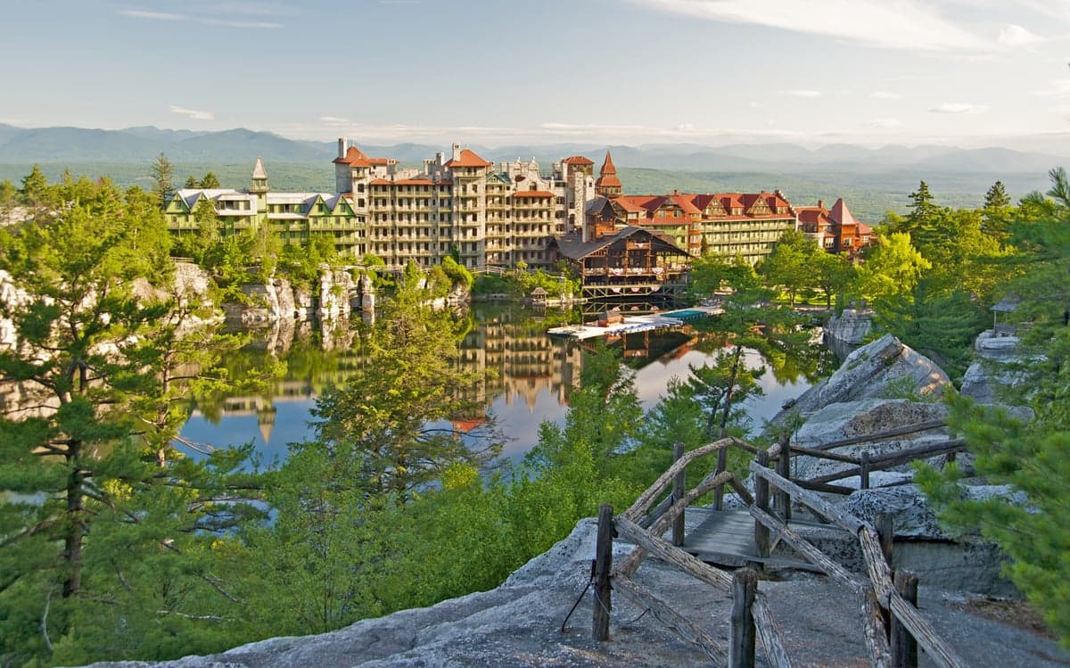
Photo: Wikipedia
Strategic Assessment of Ulster County
Meaningful friction. Expect exposure to either population pressure, blast zones, or natural disaster risk. Consider buying a retreat property.
What does the Strategic Assessment tell us?
Our Strategic Assessment grades tactical survivability of an area. Major population centers, military targets, fallout zones, natural disasters, and border exposure all drive risk — lower exposure means a more defensible position in a crisis.
This is heavily inspired by Joel Skousen's Strategic Relocation book. Highly recommended you checkout the book ($)What does this tell us?
Our Strategic Assessment grades tactical survivability of an area. Major population centers, military targets, fallout zones, natural disasters, and border exposure all drive risk — lower exposure means a more defensible position in a crisis.
This is heavily inspired by Joel Skousen's Strategic Relocation book. Highly recommended you checkout the book ($)Strategic Pillars

Key Distances
Strategic Assessment Analysis
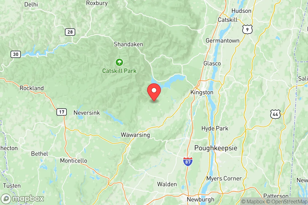
Ulster County, New York, offers a compelling mix of geographic isolation and strategic access that appeals to relocation-minded individuals and families prioritizing long-term resilience and self-sufficiency. Located roughly 90 miles north of New York City and 45 miles south of Albany, the county sits within the Hudson Valley but retains a distinctly rural and mountainous character, particularly west of the Hudson River. Its position places it outside the immediate blast and fallout zones of major metropolitan targets while still providing access to critical supply chains and infrastructure, making it a viable option for those seeking a balanced retreat from urban vulnerability.
Geographic position and natural advantages for long-term security
Ulster County’s geography is defined by the Catskill Mountains to the west and the Hudson River to the east, creating a natural buffer that limits easy access from multiple directions. The county spans roughly 1,161 square miles, with over 60% of its land area classified as forested or protected parkland, including portions of the Catskill Park and the Slide Mountain Wilderness Area. This terrain offers significant strategic depth: dense woods, steep ridges, and limited road networks make large portions of the county inherently defensible and difficult to traverse without local knowledge. The major population centers—Kingston (the county seat), New Paltz, Saugerties, and Ellenville—are clustered along the Hudson River and the NYS Thruway corridor, but the western towns of Shandaken, Olive, and Denning remain sparsely populated and heavily wooded. For a relocator, this means the ability to choose between semi-urban convenience and near-total rural isolation within a 30-minute drive. The county’s elevation also provides a natural advantage: higher terrain reduces flood risk in most areas (though valley communities near the Esopus Creek and Rondout Creek remain vulnerable), and the Catskill watershed supplies some of the highest-quality surface water in the Northeast, a critical asset for long-term water security.
Risks, exposures, and proximity to fallout-relevant landmarks
While Ulster County avoids the worst of urban proximity risks, it is not without exposure. The county lies approximately 75 miles from the Indian Point Energy Center (now permanently closed but still a decommissioning site) and roughly 100 miles from the Millstone Nuclear Power Station in Connecticut, placing it outside the most severe fallout zones for a catastrophic event at either facility. However, the New York City metropolitan area—a high-priority target for both conventional and nuclear threats—is within 90 miles, meaning that prevailing winds from the south or southwest could carry fallout into the southern and eastern portions of the county. Kingston and New Paltz, being closer to the river valley, are more exposed to such a scenario than the western mountain towns. Additionally, the county is bisected by the NYS Thruway (I-87) and the CSX rail line, both of which carry hazardous materials through the Hudson Valley corridor. A derailment or accident involving chemicals or petroleum products near the Kingston-Rhinecliff Bridge or the Port of Kingston could disrupt local supply chains and create localized contamination. On the natural disaster front, Ulster County faces moderate risks: ice storms and heavy snow are annual concerns, and the region sits in a seismically quiet zone, but the potential for prolonged power outages during winter storms is real. The county’s emergency management infrastructure is robust by rural standards, but response times in the western towns can exceed 30 minutes, making personal preparedness essential.
Practical resilience for a relocator: food, water, energy, and defensibility
For a family or individual serious about self-sufficiency, Ulster County offers strong fundamentals. Water is abundant: the Catskill Aqueduct system supplies New York City but also feeds local reservoirs, and private wells are common in rural areas, with groundwater quality generally excellent. Surface water from the Esopus, Rondout, and Wallkill rivers is accessible but requires treatment. Food resilience is moderate: the county has a growing local food movement, with farms concentrated in the Wallkill Valley near New Paltz and Gardiner, and farmers’ markets operate in Kingston, Saugerties, and Woodstock from spring through fall. However, the growing season is short (roughly 140 days), and heavy reliance on imported food during winter months is a vulnerability. For those willing to invest in greenhouse infrastructure or root cellaring, the region can support year-round food storage. Energy resilience is a mixed picture: grid reliability is below average due to aging infrastructure and tree cover, but solar adoption is high relative to the rest of New York State, and off-grid solar installations are feasible in the western towns. Propane and firewood are the primary backup heating sources, and the county’s forests provide ample fuel for wood stoves. Defensibility is the county’s strongest card: the Catskill terrain creates natural chokepoints on roads like Route 28 and Route 209, and the low population density (roughly 180 people per square mile countywide, dropping below 20 in the western towns) means that community-scale conflicts are unlikely. The presence of the New York State Police barracks in Kingston and the Ulster County Sheriff’s Office provides law enforcement coverage, but response times in remote areas are long, reinforcing the need for personal security planning.
The overall strategic picture for Ulster County is one of moderate risk and high reward for a relocator with realistic expectations. It avoids the extreme vulnerabilities of the New York City metro area while retaining access to its medical and logistical resources when conditions are stable. The county’s natural defenses—mountains, forests, and water—are genuine assets, but they require active management: a household must be prepared for winter isolation, grid outages, and the possibility of fallout from a distant but real threat. For a family willing to invest in off-grid energy, water storage, and food production, Ulster County offers one of the more balanced resilience profiles in the Northeast, combining proximity to critical infrastructure with the space and terrain to ride out disruptions. It is not a bug-out location for the unprepared, but for those who treat relocation as a long-term strategy, it is a strong candidate.

* Values derived from national, state, county, city and local statistics and may differ in a specific area. Last updated: 2026-06-18T14:14:35.000Z
Narrative content on this page is AI-generated and may contain mistakes. Verify any details that matter before acting on them.
ReloMaps may earn a commission from affiliate links at no extra cost to you.

