
Photo: Wikipedia
Strategic Assessment of Schenectady County
Meaningful friction. Expect exposure to either population pressure, blast zones, or natural disaster risk. Consider buying a retreat property.
What does the Strategic Assessment tell us?
Our Strategic Assessment grades tactical survivability of an area. Major population centers, military targets, fallout zones, natural disasters, and border exposure all drive risk — lower exposure means a more defensible position in a crisis.
This is heavily inspired by Joel Skousen's Strategic Relocation book. Highly recommended you checkout the book ($)What does this tell us?
Our Strategic Assessment grades tactical survivability of an area. Major population centers, military targets, fallout zones, natural disasters, and border exposure all drive risk — lower exposure means a more defensible position in a crisis.
This is heavily inspired by Joel Skousen's Strategic Relocation book. Highly recommended you checkout the book ($)Strategic Pillars

Key Distances
Strategic Assessment Analysis
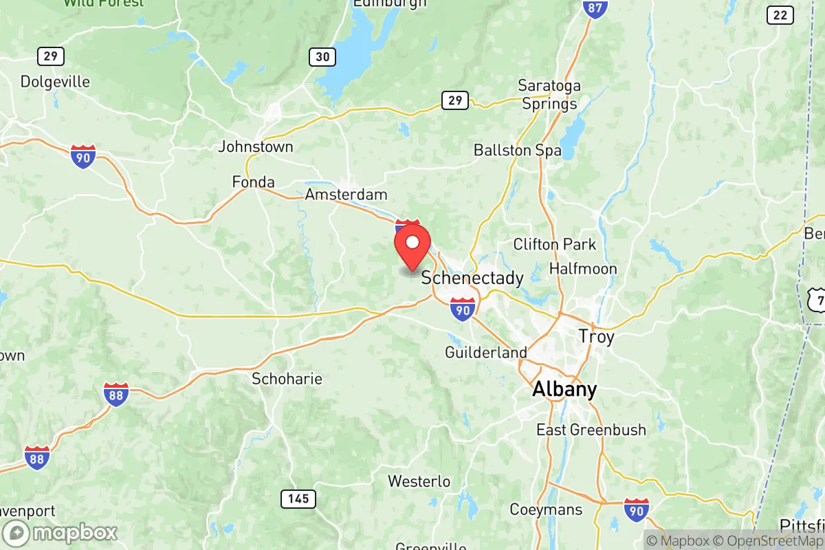
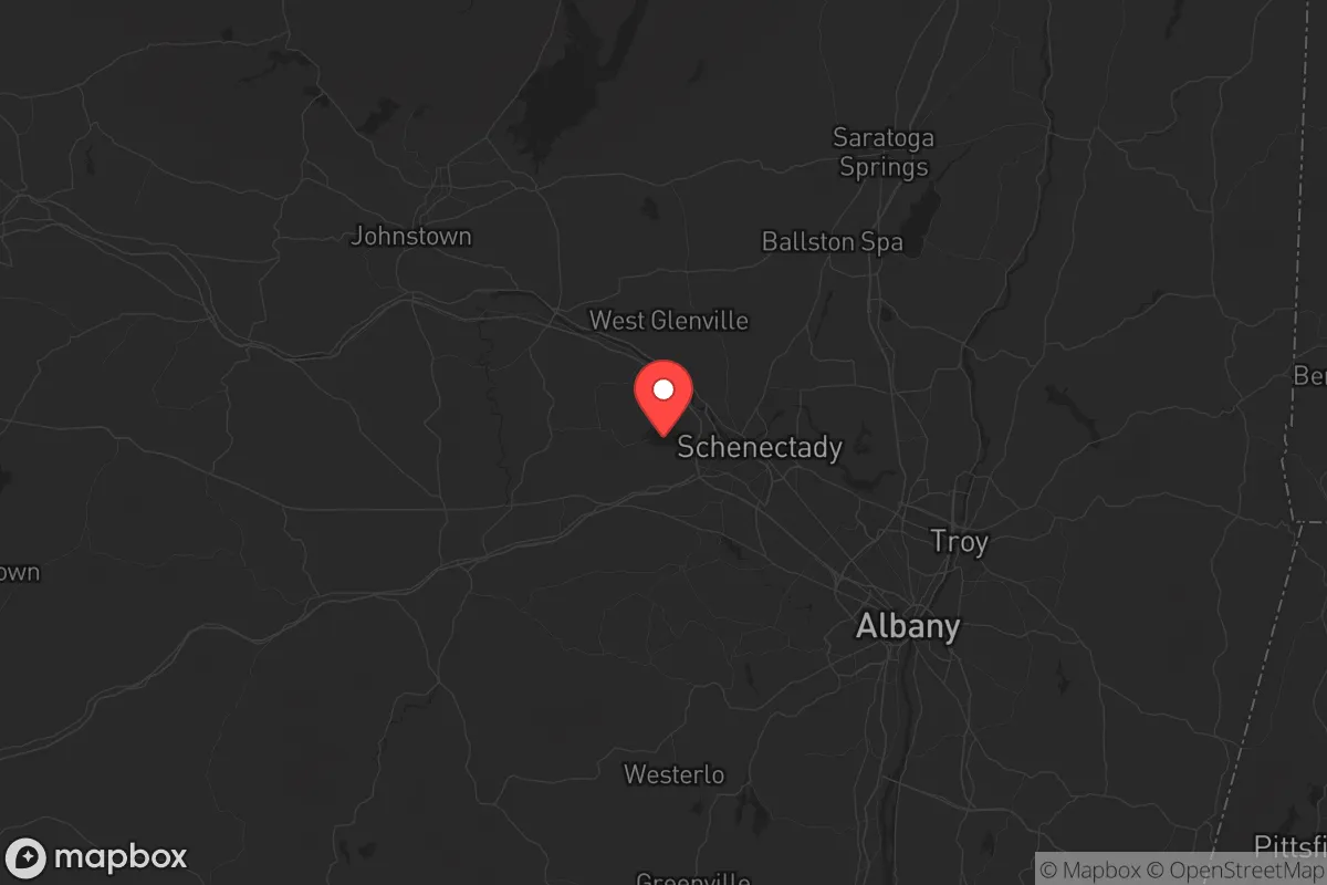
Schenectady County, New York, occupies a strategic position in the Mohawk Valley that has historically made it a hub of industry and transportation, but for the relocation-minded reader focused on resilience, its value is more nuanced. The county, anchored by the city of Schenectady and including the towns of Niskayuna, Glenville, and Rotterdam, sits at the confluence of the Mohawk River and the Erie Canal, roughly 15 miles northwest of Albany. This location offers a blend of access to the Capital Region's economic infrastructure while maintaining a distinct, more self-contained character. The area's industrial legacy—home to General Electric's founding and still hosting major facilities like the Knolls Atomic Power Laboratory—means the local economy is not purely dependent on the state government hub in Albany, offering a degree of economic diversification that supports long-term stability for families and individuals.
Geographic position and natural advantages for long-term stability
The county's geography provides several inherent resilience benefits. The Mohawk River Valley is a natural transportation corridor, but it also sits within a broader region of rolling hills and mixed forest that offers some degree of natural buffering. The Helderberg Escarpment to the south and the Adirondack foothills to the north create a landscape that is neither flat floodplain nor exposed highland, which moderates some weather extremes. The county is far enough inland to avoid direct hurricane storm surge risks that plague coastal New York, and while lake-effect snow from Lake Ontario can reach the area, Schenectady County typically receives less extreme snowfall than counties directly east of Lake Ontario like Oswego or Jefferson. The presence of the Mohawk River provides a substantial freshwater resource, and the region's underlying geology includes significant aquifers, particularly in the floodplains, which supports local water security. For a relocator assessing defensibility, the county's position at the intersection of Interstate 90 (the New York State Thruway) and the Mohawk River corridor means it is a natural chokepoint for east-west travel, but also a potential target for disruption. The key advantage is that the county's suburban and rural towns—Glenville, Rotterdam, and the more rural areas of Duanesburg—offer a mix of access to the Thruway and secondary roads that provide multiple egress routes, a practical consideration for any evacuation scenario.
Risk exposure and proximity to fallout-relevant landmarks
Any honest resilience assessment of Schenectady County must account for its proximity to several high-value infrastructure and industrial sites that could become liabilities in a major disruption. The most significant is the Knolls Atomic Power Laboratory in Niskayuna, a U.S. Department of Energy facility involved in naval nuclear propulsion research. While not a commercial power reactor, its presence means the area is a potential target for any adversary seeking to disrupt U.S. naval capabilities. Additionally, the county sits within 50 miles of the Albany International Airport (a military airlift hub) and the Watervliet Arsenal (the nation's oldest continuously operating arsenal, producing large-caliber cannon). These are concrete, named landmarks that elevate the region's strategic risk profile. The county is also within the broader fallout zone of the Indian Point Energy Center (though it is being decommissioned, the spent fuel remains on site) and the Nine Mile Point Nuclear Station near Oswego, roughly 120 miles west. For a reader concerned about man-made disasters, the concentration of state government infrastructure in Albany—including emergency operations centers and National Guard facilities—means Schenectady County could experience secondary effects from any disruption targeting the state capital. Natural risks are more moderate: the county is in a low-to-moderate seismic zone, and while the Mohawk River has historical flood events, modern flood control measures and the Mohawk River Flood Hazard Mitigation Project have reduced risks in developed areas. The primary natural exposure is to severe winter storms and occasional ice storms that can disrupt power for extended periods, a factor that should inform any relocation decision.
Practical resilience for relocators: food, water, energy, and defensibility
For a family or individual serious about self-sufficiency, Schenectady County offers a mixed but workable profile. Water security is a genuine advantage: the Mohawk River provides a reliable surface water source, and the county's municipal water systems in Schenectady, Niskayuna, and Glenville draw from both the river and protected groundwater wells. For those on private wells in the more rural towns of Duanesburg or Princetown, the underlying aquifer is generally productive, though well yields vary with local geology. Food security is moderate: the county has a strong agricultural heritage, with the Schoharie Valley and Mohawk Valley farmlands to the west and south providing local produce, dairy, and meat. The Rotterdam Square Mall area and the Upper Union Street corridor in Niskayuna offer conventional grocery access, but for long-term resilience, the county's network of farmers' markets (including the Schenectady Greenmarket) and the presence of Honest Weight Food Co-op in nearby Albany provide avenues for local food sourcing. The region's growing season is approximately 150 days, suitable for cold-hardy crops, and the county's soil in the river valleys is fertile. Energy resilience is a concern: the grid is dependent on the broader New York power system, which has faced reliability challenges during extreme weather. Natural gas is the primary heating fuel, and the county is served by National Grid. For a relocator, the defensibility of a specific property matters more than the county as a whole. The suburban towns of Niskayuna and Glenville offer good community cohesion and local services, but their density and proximity to major highways make them less defensible than the more rural areas of Duanesburg or the hill towns to the west. The county's law enforcement presence includes the Schenectady County Sheriff's Office and local police departments, but in a prolonged disruption, the population density of the city of Schenectady (roughly 67,000 residents) could strain resources. The ideal property for a resilience-minded relocator would be in the western or northern rural fringe, with access to a private well, land for gardening, and a backup heating source.
The overall strategic picture for Schenectady County is one of calculated trade-offs. It offers genuine advantages in water availability, a diversified local economy not solely dependent on Albany, and a geographic position that buffers against the worst coastal and lake-effect weather. However, the concentration of high-value military and energy research facilities within its borders—specifically the Knolls Atomic Power Laboratory and the proximity to the Watervliet Arsenal—introduces a risk profile that a purely rural location in, say, the Adirondacks or the Southern Tier would not carry. For a relocator who values access to employment in advanced manufacturing, engineering, or the energy sector while maintaining a reasonable baseline of resilience, Schenectady County is a viable option. The key is to choose a location within the county that maximizes the rural buffer—opting for the towns of Duanesburg or Princetown over the more densely developed Niskayuna or Rotterdam—and to invest in property-level preparedness for winter storms and potential grid disruptions. It is not a bug-out location, but it is a functional, livable county for someone who wants to be within striking distance of the Capital Region's economy while maintaining a serious personal preparedness posture.

* Values derived from national, state, county, city and local statistics and may differ in a specific area. Last updated: 2026-06-22T16:33:10.000Z
Narrative content on this page is AI-generated and may contain mistakes. Verify any details that matter before acting on them.
ReloMaps may earn a commission from affiliate links at no extra cost to you.

