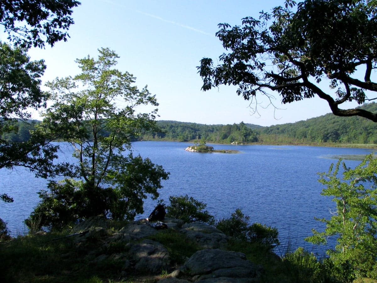
Photo: Wikipedia
Strategic Assessment of Orange County
Multiple tactical vulnerabilities. Population density, target proximity, or disaster risk are likely compounding. A retreat property and exit planning is required.
What does the Strategic Assessment tell us?
Our Strategic Assessment grades tactical survivability of an area. Major population centers, military targets, fallout zones, natural disasters, and border exposure all drive risk — lower exposure means a more defensible position in a crisis.
This is heavily inspired by Joel Skousen's Strategic Relocation book. Highly recommended you checkout the book ($)What does this tell us?
Our Strategic Assessment grades tactical survivability of an area. Major population centers, military targets, fallout zones, natural disasters, and border exposure all drive risk — lower exposure means a more defensible position in a crisis.
This is heavily inspired by Joel Skousen's Strategic Relocation book. Highly recommended you checkout the book ($)Strategic Pillars

Key Distances
Strategic Assessment Analysis
Orange County, New York, presents a nuanced strategic picture for the relocation-minded reader focused on resilience and preparedness. Its position roughly 60 miles northwest of New York City offers a meaningful buffer from the densest population and infrastructure targets, while still providing access to critical supply chains and employment corridors. The county’s blend of rural towns, suburban hubs, and the Hudson River corridor creates a layered geography that can support a self-sufficient lifestyle, but the same proximity that provides advantages also introduces specific risks that demand careful assessment.
Geographic position and natural advantages for long-term stability
Orange County’s geography is defined by the Hudson River cutting through its eastern edge and the Shawangunk Ridge and Catskill foothills rising in the west. This terrain provides natural defensibility—the western half of the county, around towns like Port Jervis and Middletown, sits in a valley shielded by ridges that would complicate overland movement from the coastal plain. The county’s elevation ranges from near sea level along the Hudson to over 1,500 feet in the western hills, offering multiple microclimates and reducing flood risk for properties above the river’s reach. Water resources are abundant: the Wallkill River and Neversink River drain the county, and the Delaware River forms its western border, providing a reliable freshwater source for communities like Port Jervis. The region’s average annual rainfall of 45 inches supports local agriculture, and the county’s 30% forest cover offers timber, game, and natural insulation against temperature extremes. For a relocator, the combination of defensible terrain, multiple watersheds, and a moderate climate (winter lows average 18°F, summer highs 84°F) creates a baseline for long-term stability that is rare within a two-hour drive of a major metro area.
Risks, exposures, and proximity to fallout-relevant landmarks
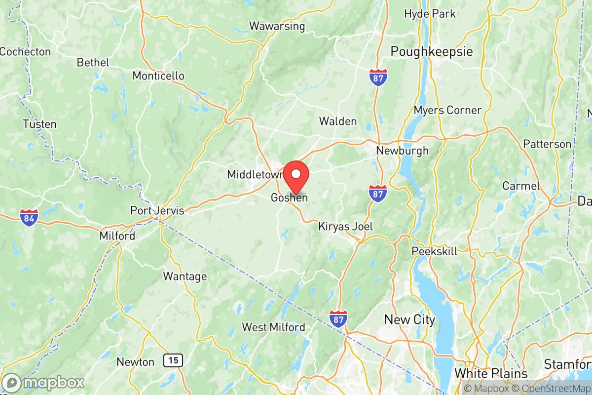
The primary strategic liability for Orange County is its position relative to high-value targets in the New York City metropolitan area and the Hudson Valley’s industrial infrastructure. The Indian Point Energy Center, a nuclear power plant located roughly 15 miles south of the county line in Buchanan, NY, was permanently shut down in 2021, removing a major fallout risk. However, the New York City metro area—with its financial centers, ports, and population density—remains a potential target for conventional or nuclear attack, and Orange County lies within the prevailing westerly wind pattern that would carry fallout from a detonation in the city. The Stewart Air National Guard Base in Newburgh, home to the 105th Airlift Wing and a C-17 transport squadron, is a military asset that could become a secondary target. Additionally, the Hudson River shipping channel and the CSX rail line running through the county carry hazardous materials, including crude oil and chemicals, from the Albany region to New Jersey refineries. Natural risks are lower: the county is not in a hurricane zone, though remnants of tropical storms can cause flooding in low-lying areas like the Wallkill Valley near Goshen. The Ramapo Fault runs through the region, but seismic activity is minimal—the largest recorded earthquake in the area was a magnitude 3.6 in 2023. The real exposure is man-made: a relocator must plan for the possibility of evacuation or shelter-in-place scenarios tied to events in the NYC metro area, which is roughly 60 miles southeast of Middletown and 75 miles from Port Jervis.
Practical resilience for a relocator: food, water, energy, and defensibility
For a relocator serious about self-sufficiency, Orange County offers a mix of strengths and gaps. Food security is a clear advantage: the county has over 700 farms, including orchards, dairy operations, and vegetable growers, concentrated in the Black Dirt Region around Pine Island and the Wallkill Valley. Farmers’ markets operate year-round in Middletown, Newburgh, and Warwick, and the county’s agricultural output includes apples, onions, corn, and livestock. A relocator with land can easily establish a garden, and the growing season runs from April to October. Water access is excellent: private wells are common in rural areas, and the county’s aquifers are replenished by consistent rainfall. The New York City watershed extends into the western part of the county, but relocators should verify well depth and yield—some areas near the Shawangunk Ridge have shallow bedrock that limits groundwater. Energy resilience is a mixed picture: the grid is served by Central Hudson and Orange and Rockland Utilities, both of which have experienced outages during winter storms and summer heat waves. Solar potential is moderate—the county averages 4.2 peak sun hours per day, enough for a grid-tied system with battery backup, but winter cloud cover can reduce output. Wood heating is viable given the forest cover, and propane delivery is common in rural areas. Defensibility varies by location: the western hills around Port Jervis and the Shawangunk Ridge offer natural chokepoints and limited road access, while the eastern corridor along I-84 and Route 17 is more exposed to population movement. The county’s population density of 370 people per square mile is low enough to allow for privacy but high enough to create community networks—a key resilience factor. The Orange County Office of Emergency Management runs a robust alert system and maintains a network of emergency shelters, but relocators should not rely on public infrastructure for extended disruptions.
The overall strategic picture for Orange County is one of balanced risk and opportunity. Its geographic position offers a meaningful buffer from NYC’s immediate blast and fallout zones, while its natural resources—water, farmland, timber, and defensible terrain—support a self-sufficient lifestyle. The presence of Stewart Air National Guard Base and the Hudson River corridor introduces targeted risks, but these are manageable with proper planning, such as maintaining a 72-hour bug-out kit and identifying multiple evacuation routes west toward the Catskills or north toward Albany. For a relocator willing to invest in a well, solar panels, and a wood stove, Orange County provides a realistic foundation for long-term resilience without the isolation of more remote regions. The key is to choose a location west of the Hudson River, above the floodplains, and within a 30-minute drive of a full-service town like Middletown or Warwick—balancing access with security. It is not a fallout-free zone, but it is one of the better options within the Northeast corridor for a family or individual thinking seriously about preparedness.

* Values derived from national, state, county, city and local statistics and may differ in a specific area. Last updated: 2026-06-17T01:57:27.000Z
Narrative content on this page is AI-generated and may contain mistakes. Verify any details that matter before acting on them.
ReloMaps may earn a commission from affiliate links at no extra cost to you.

