
Photo: Wikipedia
Strategic Assessment of Onondaga County
Meaningful friction. Expect exposure to either population pressure, blast zones, or natural disaster risk. Consider buying a retreat property.
What does the Strategic Assessment tell us?
Our Strategic Assessment grades tactical survivability of an area. Major population centers, military targets, fallout zones, natural disasters, and border exposure all drive risk — lower exposure means a more defensible position in a crisis.
This is heavily inspired by Joel Skousen's Strategic Relocation book. Highly recommended you checkout the book ($)What does this tell us?
Our Strategic Assessment grades tactical survivability of an area. Major population centers, military targets, fallout zones, natural disasters, and border exposure all drive risk — lower exposure means a more defensible position in a crisis.
This is heavily inspired by Joel Skousen's Strategic Relocation book. Highly recommended you checkout the book ($)Strategic Pillars

Key Distances
Strategic Assessment Analysis
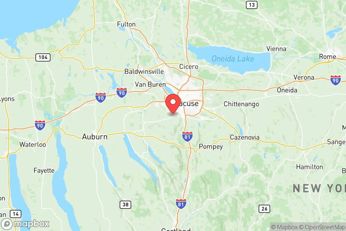
Onondaga County offers a surprisingly strong strategic position for relocators prioritizing resilience and self-sufficiency, balancing proximity to essential infrastructure with a degree of geographic insulation. Anchored by the city of Syracuse, the county sits at the crossroads of the New York State Thruway (I-90) and I-81, providing reliable logistical access without the density-driven vulnerabilities of a major metro like New York City or Boston. The area’s core advantage is its location within the Finger Lakes region, granting access to the largest freshwater reserve in the Northeast—Lake Ontario—and the vast, fertile soils of the Erie Canal corridor, which historically made this a breadbasket for the state.
Geographic position and natural advantages for long-term security
Onondaga County’s geography is its strongest card for a resilience-minded household. The county is cradled by the Appalachian Plateau to the south and the Lake Ontario plain to the north, creating a natural buffer against extreme weather patterns that plague coastal or plains regions. The area sits well inland, roughly 250 miles from the Atlantic, placing it far outside the storm surge zones of hurricanes and the primary fallout corridors of coastal nuclear targets. The presence of the Finger Lakes—particularly Skaneateles Lake and Otisco Lake—provides a decentralized, high-quality freshwater supply that is less vulnerable to contamination than a single river source. The surrounding topography, including the rolling hills of the Tully Valley, offers natural defensibility and numerous sites for off-grid homesteading, with ample hardwood forests for timber and fuel. The county’s position along the Erie Canal and the Oswego River also gives it a secondary, non-electrical transport route for bulk goods, a detail often overlooked in modern relocation planning.
Risks, exposures, and proximity to fallout-relevant landmarks
While Onondaga County avoids the worst of coastal and metropolitan risks, it is not without exposure. The most significant man-made risk comes from its proximity to the Nine Mile Point Nuclear Generating Station and the James A. FitzPatrick Nuclear Power Plant, both located roughly 40 miles north in Oswego County on the Lake Ontario shore. A major incident at either facility could place southern Onondaga County within a potential plume zone, depending on prevailing winds. Additionally, the county hosts the Hancock Field Air National Guard Base and the Syracuse Hancock International Airport, both of which could become secondary targets or staging areas during a national emergency, increasing local military traffic and associated risks. The county also sits within the broader New York State Thruway corridor, a critical logistics artery that could become a chokepoint or target during a crisis. On the natural hazard side, the area is in a moderate seismic zone—the 1944 Cornwall-Massena earthquake (magnitude 5.8) demonstrated that the region is not immune to tremors—and the Tug Hill Plateau to the north can produce extreme lake-effect snow events, with annual totals exceeding 200 inches in some areas, posing a serious but manageable challenge for infrastructure and mobility.
Practical resilience for a relocator: food, water, energy, and defensibility
For a relocator serious about self-sufficiency, Onondaga County delivers on the fundamentals. The region’s agricultural base is robust: the county is a top producer of dairy, apples, and corn in New York State, and the surrounding Finger Lakes region is home to hundreds of small farms, farmers’ markets, and u-pick operations. The Skaneateles Lake watershed is famously pure—the city of Syracuse draws its drinking water directly from the lake without filtration, a rare distinction that speaks to water quality. For off-grid energy, the area has strong potential for small-scale hydro on the many creeks and rivers draining the plateau, as well as decent solar insolation (comparable to northern Germany) and abundant biomass from the surrounding forests. The county’s defensibility is aided by its mix of rural townships—places like Fabius, Tully, and Lafayette in the southern hills—where properties are spaced apart, visibility is good, and access is limited to a few county roads. The presence of the Onondaga Nation’s territory adds a layer of cultural and historical depth to the area’s land-use patterns, though relocators should be mindful of sovereign nation boundaries and local zoning laws. The main practical downsides are the long, snowy winters, which increase heating fuel dependency and complicate road access, and the fact that the county’s population of roughly 460,000 is concentrated in the Syracuse metro, meaning that truly remote properties are a 30- to 45-minute drive from major services.
Overall, Onondaga County presents a balanced strategic picture for the resilience-focused relocator. It offers genuine advantages in freshwater security, agricultural capacity, and geographic insulation from coastal and metropolitan threats, while avoiding the extreme isolation that can make self-sufficiency impractical. The risks are real but localized: nuclear plants to the north, a military base within the county, and severe winter weather that tests infrastructure annually. For a single individual or family willing to invest in winter preparedness, a backup heating source, and a property in the southern or western townships, this area provides a defensible, resource-rich base of operations within a day’s drive of major Northeast cities. It is not a bug-out location for the paranoid; it is a serious, livable option for someone who wants to be ready without dropping off the map.

* Values derived from national, state, county, city and local statistics and may differ in a specific area. Last updated: 2026-06-17T14:34:23.000Z
Narrative content on this page is AI-generated and may contain mistakes. Verify any details that matter before acting on them.
ReloMaps may earn a commission from affiliate links at no extra cost to you.

