
Photo: Wikipedia
Strategic Assessment of Cayuga County
Meaningful friction. Expect exposure to either population pressure, blast zones, or natural disaster risk. Consider buying a retreat property.
What does the Strategic Assessment tell us?
Our Strategic Assessment grades tactical survivability of an area. Major population centers, military targets, fallout zones, natural disasters, and border exposure all drive risk — lower exposure means a more defensible position in a crisis.
This is heavily inspired by Joel Skousen's Strategic Relocation book. Highly recommended you checkout the book ($)What does this tell us?
Our Strategic Assessment grades tactical survivability of an area. Major population centers, military targets, fallout zones, natural disasters, and border exposure all drive risk — lower exposure means a more defensible position in a crisis.
This is heavily inspired by Joel Skousen's Strategic Relocation book. Highly recommended you checkout the book ($)Strategic Pillars

Key Distances
Strategic Assessment Analysis
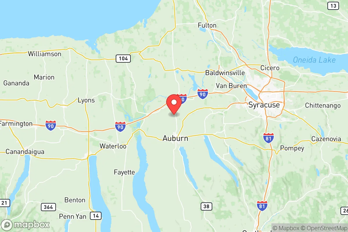
Cayuga County, New York, occupies a strategic position in the Finger Lakes region that offers a compelling mix of geographic insulation and practical self-sufficiency for those prioritizing disaster readiness and long-term resilience. Located roughly equidistant from the major population centers of Syracuse (30 miles east) and Rochester (50 miles west), the county benefits from being outside the immediate blast and fallout zones of those urban targets while still maintaining access to their logistical networks. The county seat, Auburn, anchors a region defined by its agricultural output, abundant freshwater resources, and a topography that provides natural defensibility without the isolation that complicates daily life.
Geographic position and natural advantages for long-term security
Cayuga County's most significant resilience asset is its position within the Finger Lakes watershed, specifically along the eastern shore of Owasco Lake and the northern tip of Cayuga Lake. These deep, glacially-formed lakes represent a near-limitless supply of fresh water that is less vulnerable to contamination than river-fed systems. The surrounding terrain is a mix of rolling hills, glacial drumlins, and fertile valley floors, creating natural chokepoints and visual barriers that complicate large-scale movement without requiring mountainous terrain. The county's agricultural base is substantial: over 1,200 farms operate within its borders, producing dairy, grains, vegetables, and livestock. This local food production capacity is a concrete advantage for a relocator seeking to reduce dependence on fragile supply chains. The small cities of Auburn (population ~26,000) and the villages of Moravia, Port Byron, and Weedsport serve as practical hubs for supplies and community coordination without presenting the target-worthy density of larger urban centers.
Risks, exposures, and proximity to fallout-relevant landmarks
While Cayuga County avoids the worst-case scenarios of a direct nuclear strike, it is not without exposure. The New York State Thruway (I-90) runs along the county's northern border, and the CSX rail line—a major freight corridor—passes through Port Byron and Weedsport. These transportation arteries could become secondary targets or chokepoints during a crisis. More significantly, the county lies within 100 miles of the Nine Mile Point Nuclear Generating Station in Oswego County (about 45 miles northeast) and the FitzPatrick Nuclear Power Plant. A catastrophic failure at either facility—whether from accident or sabotage—could render large portions of eastern Cayuga County uninhabitable for extended periods, depending on wind patterns. The county is also downwind of Syracuse's Hancock Field Air National Guard Base, a potential military target. On the natural disaster front, the region is seismically stable, but severe lake-effect snow events can produce over 100 inches of snowfall annually, creating mobility challenges and structural stress that a relocator must plan for with adequate shelter and heating redundancy.
Practical resilience for a relocator: food, water, energy, and defensibility
For a family or individual serious about self-sufficiency, Cayuga County offers a rare combination of resources that are immediately accessible. The county's soil is among the most productive in New York, and the growing season—while short (roughly 140-160 frost-free days)—is sufficient for cold-hardy crops, root vegetables, and grains. The presence of Owasco Lake and Cayuga Lake means that a property with lake access or a drilled well tapping into the glacial aquifer system provides water security that is difficult to overstate. Energy resilience is more mixed: the county is served by National Grid, and grid reliability in rural areas is moderate, with outages common during winter storms. However, the region's relatively low population density (roughly 77,000 residents across 864 square miles) means that a relocator with solar panels, battery storage, and a backup generator can operate with minimal scrutiny. Defensibility is enhanced by the natural funneling of roads along the lake valleys; the major routes—NY-34, NY-38, and NY-90—are easily monitored, and the numerous dead-end roads along the lake shores provide secure positions for those willing to trade convenience for privacy. The county's strong hunting culture also means that firearms proficiency and game management are normalized, not stigmatized, which aligns with a preparedness mindset.
The overall strategic picture for Cayuga County is one of balanced resilience: it offers the agricultural and water resources of a rural stronghold while maintaining enough connection to regional infrastructure to avoid the pitfalls of complete isolation. The primary vulnerabilities—proximity to nuclear power plants and major transportation corridors—are real but manageable for a relocator who chooses a property west of Cayuga Lake or south of Auburn, away from the I-90 corridor. For the conservative-leaning reader who values self-reliance, community cohesion, and the ability to weather both natural and man-made disruptions, Cayuga County represents a defensible, resource-rich option that does not require sacrificing access to healthcare, schools, or supply runs. The key is to arrive prepared for winter, with a water plan that accounts for the lake-effect climate, and with a clear understanding that the county's greatest strength—its agricultural and hydrological abundance—is also its most underappreciated strategic asset.

* Values derived from national, state, county, city and local statistics and may differ in a specific area. Last updated: 2026-07-01T22:47:56.000Z
Narrative content on this page is AI-generated and may contain mistakes. Verify any details that matter before acting on them.
ReloMaps may earn a commission from affiliate links at no extra cost to you.

