Photo: Wikipedia
Strategic Assessment of Burlington County
Multiple tactical vulnerabilities. Population density, target proximity, or disaster risk are likely compounding. A retreat property and exit planning is required.
What does the Strategic Assessment tell us?
Our Strategic Assessment grades tactical survivability of an area. Major population centers, military targets, fallout zones, natural disasters, and border exposure all drive risk — lower exposure means a more defensible position in a crisis.
This is heavily inspired by Joel Skousen's Strategic Relocation book. Highly recommended you checkout the book ($)What does this tell us?
Our Strategic Assessment grades tactical survivability of an area. Major population centers, military targets, fallout zones, natural disasters, and border exposure all drive risk — lower exposure means a more defensible position in a crisis.
This is heavily inspired by Joel Skousen's Strategic Relocation book. Highly recommended you checkout the book ($)Strategic Pillars

Key Distances
Strategic Assessment Analysis
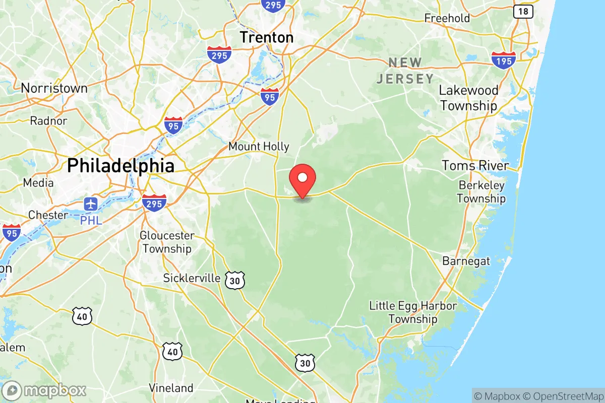
Burlington County, New Jersey, occupies a strategic middle ground in the Mid-Atlantic corridor, offering a blend of suburban stability, rural buffer zones, and proximity to critical infrastructure that makes it a serious consideration for relocation-minded individuals and families prioritizing resilience. Its position between the Philadelphia metro area and the New Jersey Pine Barrens provides a unique mix of access and separation, with the county’s eastern half offering significant geographic advantages for those thinking about disaster readiness and long-term self-sufficiency. While no location in the Northeast is immune to regional risks, Burlington County’s layout, water resources, and agricultural capacity give it a measurable edge over denser, more exposed alternatives like Camden or Mercer counties.
Geographic position and natural advantages for long-term stability
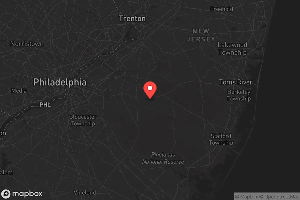
Burlington County is the largest county in New Jersey by land area, stretching from the Delaware River in the west to the Pine Barrens in the east. This east-west span creates a natural gradient: the western river towns like Burlington City and Bordentown are more developed and connected to Philadelphia via I-95 and the River Line light rail, while central and eastern townships such as Tabernacle, Shamong, and Bass River sit within or adjacent to the 1.1-million-acre Pinelands National Reserve. That reserve is a federally protected area with strict development controls, meaning large swaths of the county will remain forested and low-density indefinitely. For a relocator, this translates to a built-in buffer against suburban sprawl and the congestion that plagues counties closer to New York City. The region’s Kirkwood-Cohansey aquifer system, one of the most productive freshwater sources on the East Coast, lies beneath much of the Pine Barrens, providing a reliable, naturally filtered water supply that is less vulnerable to surface contamination than reservoirs serving urban areas. The county’s elevation is modest—generally 50 to 150 feet above sea level—but it is well-drained and largely outside floodplains, with the notable exception of low-lying areas immediately along the Delaware River. This combination of protected open space, abundant groundwater, and moderate topography makes eastern Burlington County one of the more naturally defensible and resource-secure locations within commuting distance of a major metro area.
Risks, exposures, and proximity to fallout-relevant landmarks
Burlington County’s resilience picture is complicated by its location within the densely populated Northeast corridor and its proximity to several high-value targets. The county lies roughly 15 miles from Philadelphia’s city center and about 50 miles from the Delaware City Refinery in Delaware, a major petroleum processing facility that could be a secondary target in a conflict scenario. Within the county itself, the Joint Base McGuire-Dix-Lakehurst straddles the Burlington-Ocean county line and is one of the largest military installations in the world, housing the 305th Air Mobility Wing and the 87th Air Base Wing. This base is a clear strategic asset for national defense but also a potential primary target in any large-scale conflict, with fallout patterns depending on wind direction. The county also hosts several chemical and industrial facilities along the Delaware River corridor, including the PSEG nuclear power plant in Salem County (about 30 miles southwest) and the Paulsboro Refinery (about 20 miles west). A release from any of these sites could affect western Burlington County depending on prevailing westerly winds. On the natural disaster front, the county is not in a hurricane or earthquake hotspot, but severe thunderstorms, occasional tornadoes (typically EF-0 to EF-1), and winter ice storms are annual realities. The Pine Barrens are a high-risk wildfire zone during dry spring and fall periods, with the 2023 Mullica River Fire burning over 4,000 acres in adjacent Ocean County. For a relocator, the key takeaway is that eastern Burlington County offers significant distance from the most exposed industrial and military targets, while western townships like Willingboro and Edgewater Park are closer to the Delaware River’s risk profile. Choosing a property east of the New Jersey Turnpike (I-95) generally reduces exposure to both industrial accidents and population-density-driven cascading failures.
Practical resilience for a relocator: food, water, energy, and defensibility
For someone serious about self-sufficiency, Burlington County offers several practical advantages that are rare in the Northeast. Water security is the strongest asset: the Pine Barrens aquifer is shallow, clean, and accessible via private wells in most rural and semi-rural townships. In areas like Tabernacle and Southampton, well depths of 50 to 150 feet are common, and water quality is generally excellent with minimal treatment needed. The county also has a robust agricultural sector—over 40,000 acres of farmland in production—concentrated in the central and eastern townships, with major crops including blueberries, cranberries, sweet corn, and hay. This means local food supply chains are shorter and more diverse than in purely suburban counties. Farmers’ markets and CSAs are abundant, and the presence of Rutgers Cooperative Extension in the county provides resources for home gardening and small-scale farming. Energy resilience is more mixed: the county is served by PSE&G and Atlantic City Electric, with overhead power lines vulnerable to ice storms and tree falls. However, the rural eastern townships have a higher rate of solar panel adoption and backup generator ownership than the state average, partly due to longer outage durations in remote areas. Defensibility is a function of layout: the Pine Barrens’ dense forest and limited road network create natural chokepoints, with only a handful of two-lane roads (like Route 206 and Route 70) providing access to the interior. This makes the eastern half of the county easier to secure or isolate in a crisis, but also means evacuation routes are limited—a trade-off worth noting. For a family, the practical calculus is that a property on a well with solar panels, a wood stove, and a garden in Tabernacle or Shamong offers a level of baseline resilience that is difficult to match in most of New Jersey, while still being within 45 minutes of Philadelphia’s hospitals and supply chains.
The overall strategic picture for Burlington County is one of balanced trade-offs. It is not a remote survivalist retreat—it is a working county with suburban, rural, and industrial zones that require careful selection. For the relocator who prioritizes water security, agricultural access, and distance from the most exposed targets, the eastern Pine Barrens townships represent one of the better options in the Mid-Atlantic. The presence of Joint Base McGuire-Dix-Lakehurst is a double-edged sword: it provides economic stability and a potential source of emergency support, but it also raises the county’s profile in any conflict scenario. Western Burlington County, while more convenient to Philadelphia, carries higher exposure to industrial accidents, population density, and the vulnerabilities of the I-95 corridor. The smartest move for a resilience-minded individual or family is to focus on the area east of Route 206, north of Route 70, and south of the Fort Dix boundary, where groundwater is plentiful, development is restricted, and the buffer of the Pine Barrens provides both natural defense and a long-term resource base. Burlington County won’t make you invisible, but it will give you options—and in a crisis, options are the only thing that matters.

* Values derived from national, state, county, city and local statistics and may differ in a specific area. Last updated: 2026-10-24T22:55:13.000Z
Narrative content on this page is AI-generated and may contain mistakes. Verify any details that matter before acting on them.
ReloMaps may earn a commission from affiliate links at no extra cost to you.

