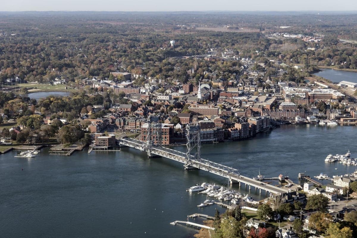
Photo: Wikipedia
Strategic Assessment of Rockingham County
Multiple tactical vulnerabilities. Population density, target proximity, or disaster risk are likely compounding. A retreat property and exit planning is required.
What does the Strategic Assessment tell us?
Our Strategic Assessment grades tactical survivability of an area. Major population centers, military targets, fallout zones, natural disasters, and border exposure all drive risk — lower exposure means a more defensible position in a crisis.
This is heavily inspired by Joel Skousen's Strategic Relocation book. Highly recommended you checkout the book ($)What does this tell us?
Our Strategic Assessment grades tactical survivability of an area. Major population centers, military targets, fallout zones, natural disasters, and border exposure all drive risk — lower exposure means a more defensible position in a crisis.
This is heavily inspired by Joel Skousen's Strategic Relocation book. Highly recommended you checkout the book ($)Strategic Pillars

Key Distances
Strategic Assessment Analysis
Rockingham County, New Hampshire, offers a strategic blend of proximity to economic hubs and access to natural buffers that make it a compelling option for relocation-minded individuals and families prioritizing resilience. Its location along the Atlantic coast, roughly 40 miles north of Boston, provides a balance of seclusion from major metropolitan fallout zones while still allowing for supply chain access and employment opportunities. The county’s rugged terrain, abundant freshwater resources, and relatively low population density outside the Seacoast corridor position it as a defensible and self-sufficient area for those serious about disaster readiness.
Geographic position and natural advantages for long-term stability
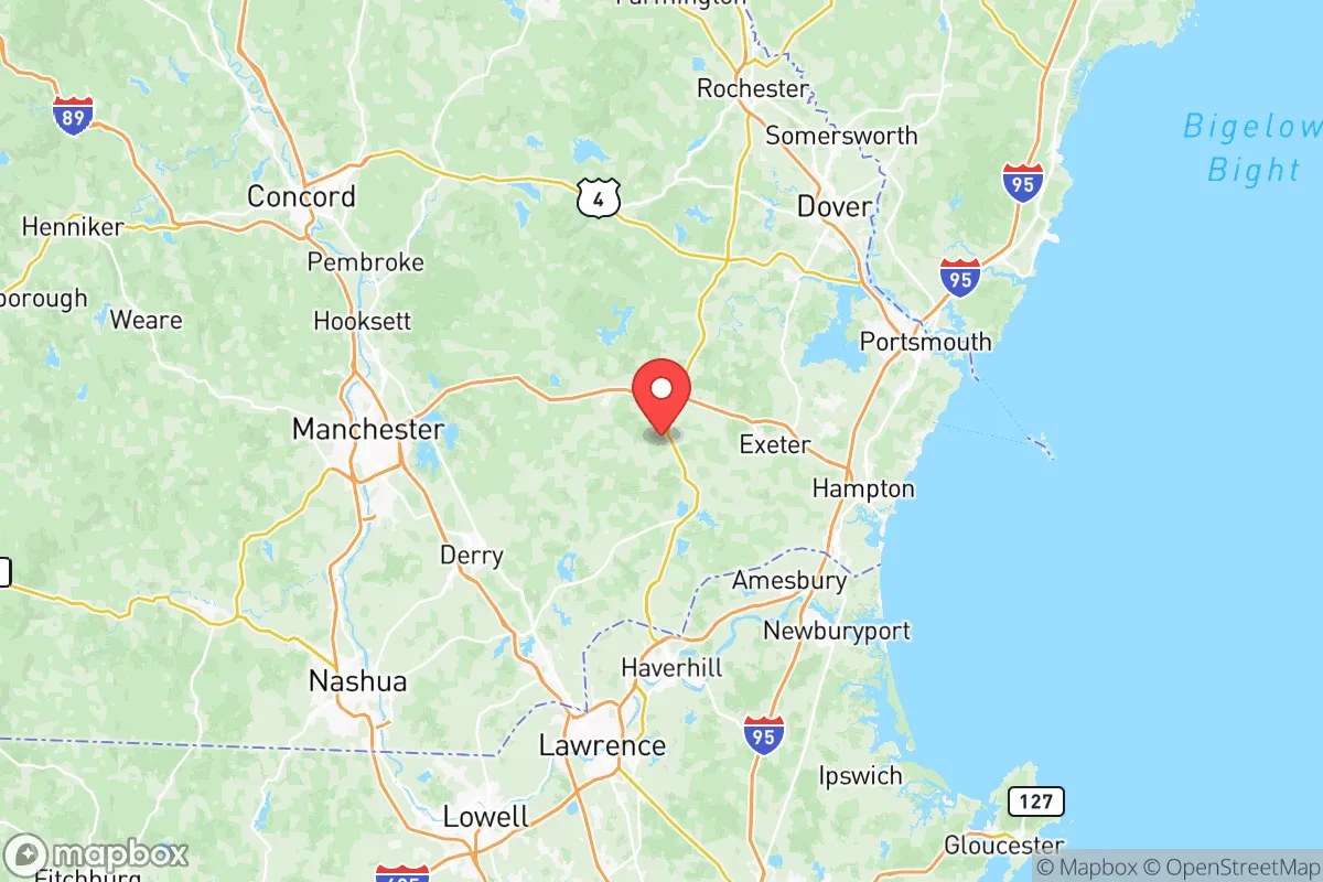
Rockingham County sits at the intersection of coastal plains and the foothills of the White Mountains, offering a diverse landscape that supports both agriculture and natural resource extraction. The county is bisected by the Merrimack River, which flows through the city of Manchester (the state’s largest city, partially in the county) and provides a reliable freshwater source for communities like Derry and Londonderry. To the east, the coastal towns of Portsmouth and Hampton offer access to the Atlantic Ocean, though these areas are more exposed to storm surges and sea-level rise. The interior towns—such as Raymond, Epping, and Fremont—feature rolling hills, dense forests, and numerous small lakes (like Pawtuckaway Lake and Massabesic Lake), which provide natural barriers against both human and environmental threats. The county’s elevation ranges from sea level to over 1,000 feet in the western hills, offering defensible high ground away from floodplains. This topography also supports microclimates that can buffer against extreme weather events, a key advantage for those planning for climate volatility.
Risks, exposures, and proximity to fallout-relevant landmarks
While Rockingham County is not a primary target for large-scale industrial or military strikes, it does face specific risks tied to its proximity to critical infrastructure. The Portsmouth Naval Shipyard, located on the border with Maine in Kittery, is a major naval repair facility and a potential target in a conflict scenario. The shipyard’s nuclear submarine maintenance operations make it a high-value asset, and any incident there could affect downwind areas of Rockingham County, particularly the eastern towns of Greenland, Newington, and Portsmouth itself. Additionally, the county lies within 50 miles of the Seabrook Nuclear Power Plant (just south in Massachusetts), which, while not a military target, poses a radiological risk in the event of an accident or sabotage. The county’s proximity to Boston (about 40 miles from the city center) means that a major event in the metropolitan area—whether natural or man-made—could trigger refugee flows, supply chain disruptions, and resource scarcity. The Manchester-Boston Regional Airport in Londonderry is a secondary hub that could become a choke point during evacuations. On the natural disaster front, the county is vulnerable to nor’easters, ice storms, and occasional flooding along the Merrimack River and coastal areas. The 2023 floods in Derry and Londonderry demonstrated how heavy rainfall can overwhelm local drainage systems, though these events are localized and manageable with proper planning.
Practical resilience for a relocator: food, water, energy, and defensibility
For those focused on self-sufficiency, Rockingham County offers strong fundamentals. Water availability is excellent: the county sits atop the Merrimack River aquifer, and many towns have access to private wells with reliable yields. The Massabesic Lake watershed, which supplies Manchester’s drinking water, is protected by state regulations, ensuring a clean source for surrounding communities. Food production is viable, with over 200 farms in the county—many in the western towns like Chester and Sandown—producing dairy, vegetables, and livestock. The Rockingham County Cooperative Extension offers resources for small-scale farming and food preservation. However, the growing season is short (roughly 140 days), so reliance on stored food and greenhouse infrastructure is necessary for year-round self-sufficiency. Energy resilience is a mixed picture: the county is served by Eversource and Unitil, with grid reliability generally good but vulnerable to ice storms. Solar adoption is growing, particularly in rural areas, and many homes have backup generators. The Seabrook Station nuclear plant provides a steady baseload, but its location outside the county means local energy independence is limited. Defensibility is a key strength: the interior towns are accessed by a network of state routes (like NH-101, NH-125, and NH-27) that can be easily monitored or blocked, and the hilly terrain offers natural chokepoints. The county’s population density is low outside the Seacoast corridor—about 200 people per square mile in towns like Deerfield and Northwood—reducing competition for resources during a crisis. The Rockingham County Sheriff’s Office and local police departments maintain a visible presence, but community-based mutual aid networks (like the Rockingham County Preparedness Group) are more critical for long-term security.
Overall, Rockingham County presents a balanced strategic picture for the resilience-minded relocator. Its geographic position offers a buffer from major metropolitan fallout zones while still providing access to critical infrastructure and supply chains. The risks—from the Portsmouth Naval Shipyard, Seabrook Nuclear Plant, and Boston’s proximity—are real but manageable with proper planning, particularly if you choose an interior town away from the coast and major highways. The county’s natural advantages—abundant water, arable land, and defensible terrain—make it a strong candidate for those willing to invest in self-sufficiency infrastructure like wells, solar panels, and food storage. For families and individuals seeking a location that balances modern convenience with long-term resilience, Rockingham County deserves serious consideration, provided you are prepared for the trade-offs of New England winters and the need for proactive community engagement.

* Values derived from national, state, county, city and local statistics and may differ in a specific area. Last updated: 2026-06-15T10:25:38.000Z
Narrative content on this page is AI-generated and may contain mistakes. Verify any details that matter before acting on them.
ReloMaps may earn a commission from affiliate links at no extra cost to you.

