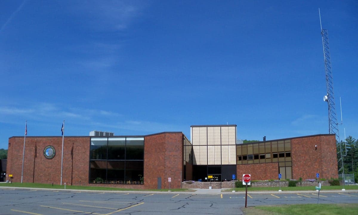
Photo: Wikipedia
Strategic Assessment of Grafton County
Meaningful friction. Expect exposure to either population pressure, blast zones, or natural disaster risk. Consider buying a retreat property.
What does the Strategic Assessment tell us?
Our Strategic Assessment grades tactical survivability of an area. Major population centers, military targets, fallout zones, natural disasters, and border exposure all drive risk — lower exposure means a more defensible position in a crisis.
This is heavily inspired by Joel Skousen's Strategic Relocation book. Highly recommended you checkout the book ($)What does this tell us?
Our Strategic Assessment grades tactical survivability of an area. Major population centers, military targets, fallout zones, natural disasters, and border exposure all drive risk — lower exposure means a more defensible position in a crisis.
This is heavily inspired by Joel Skousen's Strategic Relocation book. Highly recommended you checkout the book ($)Strategic Pillars

Key Distances
Strategic Assessment Analysis
Grafton County, New Hampshire, offers a compelling strategic profile for relocators prioritizing disaster readiness and self-sufficiency, blending significant geographic advantages with manageable, well-understood risks. Its position in the western part of the state, anchored by the towns of Lebanon, Hanover, and Plymouth, provides a buffer from the dense population centers and critical infrastructure targets of the Northeast Corridor, while still maintaining access to essential services and supply routes. The county’s resilience stems from its rural character, robust natural resources, and distance from high-value man-made risks, making it a serious consideration for those evaluating long-term security and independence.
Geographic position and natural advantages for long-term security
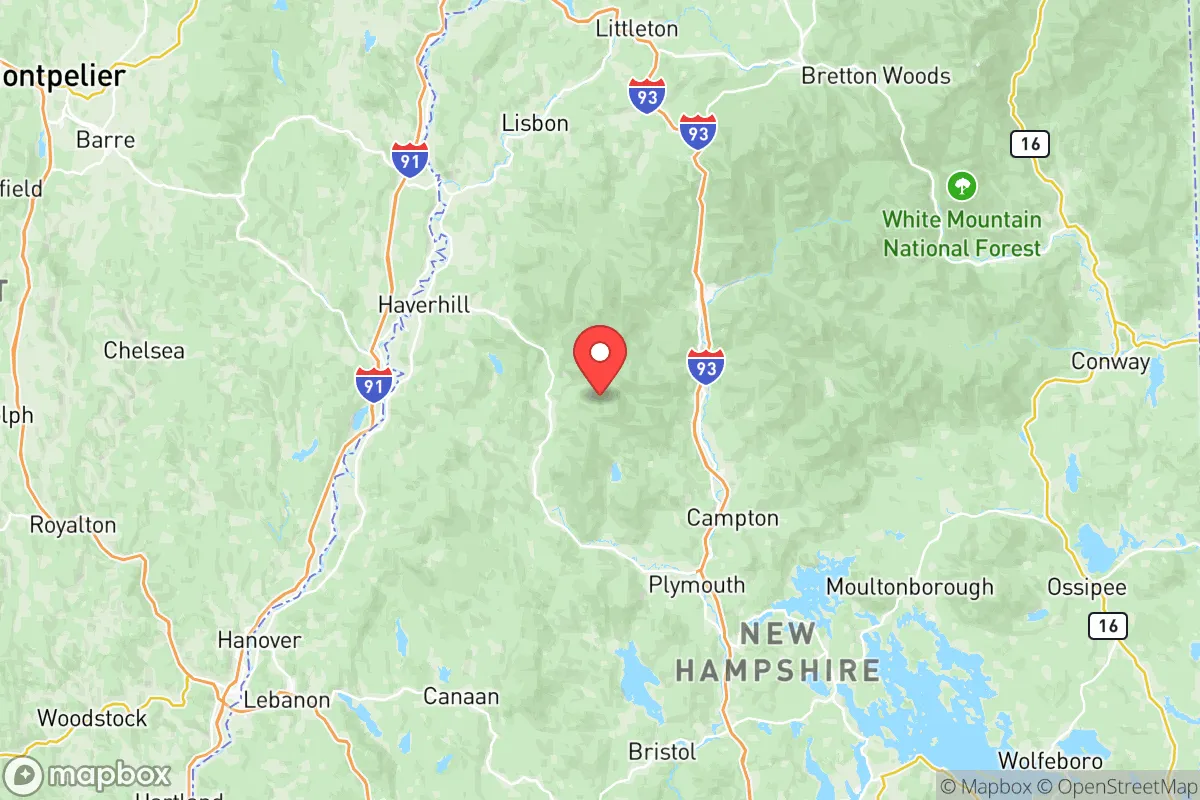
Grafton County’s primary strategic asset is its location within the White Mountain National Forest and the broader Appalachian range, which creates natural barriers to large-scale population movement and limits the spread of airborne contaminants. The county sits roughly 100 miles north of Boston and 60 miles southeast of Burlington, Vermont, placing it well outside the immediate fallout zones of major metropolitan areas. The Connecticut River forms its western border, providing a reliable water source and a natural defensive line. The terrain is characterized by rolling hills, dense forests, and numerous lakes—including Newfound Lake and Squam Lake—which offer both water security and concealment. Elevation ranges from around 400 feet in the river valleys to over 4,000 feet in the peaks, giving residents options for retreat to higher ground if needed. The county’s low population density—roughly 90,000 people across 1,700 square miles—means fewer competing resources and less social friction during disruptions. The region’s cold winters and deep snowpack also serve as a natural deterrent to unprepared transient populations, a factor often overlooked in resilience planning.
Risks, exposures, and proximity to fallout-relevant landmarks
Grafton County’s risk profile is moderate compared to coastal or industrial regions, but relocators should understand specific exposures. The most significant man-made risk is the Seabrook Station Nuclear Power Plant, located about 120 miles southeast in Seabrook, NH. While this distance places Grafton outside the primary plume exposure zone (typically 10-50 miles), prevailing winds from the west and southwest mean that a major release could still deposit trace fallout across the county within 12-24 hours. The Portsmouth Naval Shipyard (Kittery, ME), a nuclear submarine maintenance facility, is roughly 130 miles east, presenting a similar low-probability, moderate-consequence risk. No major oil refineries, chemical plants, or military bases (like Fort Drum or Hanscom AFB) are within 100 miles, which is a distinct advantage. Natural risks are more immediate: winter storms can drop 60-100 inches of snow annually, causing multi-day power outages, and ice storms are a recurring hazard that can damage infrastructure. The region sits in a low seismic zone, with no significant earthquake history. Flooding is localized to river valleys, particularly along the Pemigewasset River near Plymouth and the Baker River near Warren. Wildfire risk is low due to the mixed hardwood-softwood forest composition and high moisture levels. The county’s distance from major transportation corridors—Interstates 89 and 93 run through it, but they are not high-volume freight routes—reduces the risk of hazardous material spills or cascading infrastructure failures.
Practical resilience for a relocator: food, water, energy, and defensibility
For a relocator focused on self-sufficiency, Grafton County offers strong fundamentals. Water abundance is a key advantage: the county sits atop the Plymouth-Carver aquifer system and has hundreds of miles of perennial streams. Most rural properties have access to shallow wells (typically 50-200 feet deep) with reliable yields, and surface water from lakes and rivers is plentiful for non-potable use. Food production is viable but requires effort: the growing season is short (roughly 100-120 frost-free days), and soils are generally acidic and rocky. However, the Upper Valley region around Lebanon and Hanover has a strong agricultural tradition, with established farms producing dairy, maple syrup, apples, and vegetables. Local food networks, including farmers’ markets in Lebanon and Plymouth, provide redundancy. Energy resilience is mixed: the grid is served by Eversource and New Hampshire Electric Cooperative, both of which have average reliability but are vulnerable to storm-related outages. Wood heating is common and practical—the county is heavily forested, and firewood permits are inexpensive. Solar potential is moderate (roughly 4.0-4.5 peak sun hours per day), but winter cloud cover and snow accumulation on panels require planning. Defensibility is excellent: the terrain offers natural chokepoints, limited road access (only two major highways), and numerous remote valleys. The towns of Orford, Piermont, and Warren are particularly isolated, with single-road access and dense forest cover. The county’s gun culture is strong, with high rates of firearm ownership and a permissive legal environment for self-defense, which is a practical consideration for security. Medical infrastructure is adequate: Dartmouth-Hitchcock Medical Center in Lebanon is a Level I trauma center and one of the best hospitals in northern New England, providing a critical resource for serious injuries or illness during a crisis. However, rural ambulance response times can exceed 30 minutes in the more remote towns.
Overall, Grafton County presents a balanced strategic picture for the disaster-conscious relocator. Its primary strengths are geographic isolation, abundant water, low population density, and a strong local culture of self-reliance. The main trade-offs are a short growing season, winter weather that demands serious preparation, and a moderate but manageable risk from distant nuclear facilities. For a single individual or family willing to invest in wood heat, well water, and food storage, the county offers a defensible, resource-rich environment that is far more resilient than suburban or urban alternatives. The presence of Dartmouth-Hitchcock and the Upper Valley’s economic stability (anchored by Dartmouth College and several medical device companies) provide a buffer against complete isolation, while the surrounding national forest offers a vast, low-risk buffer zone. For those prioritizing long-term security over convenience, Grafton County is a strong candidate worth serious evaluation.

* Values derived from national, state, county, city and local statistics and may differ in a specific area. Last updated: 2026-06-17T00:25:52.000Z
Narrative content on this page is AI-generated and may contain mistakes. Verify any details that matter before acting on them.
ReloMaps may earn a commission from affiliate links at no extra cost to you.

