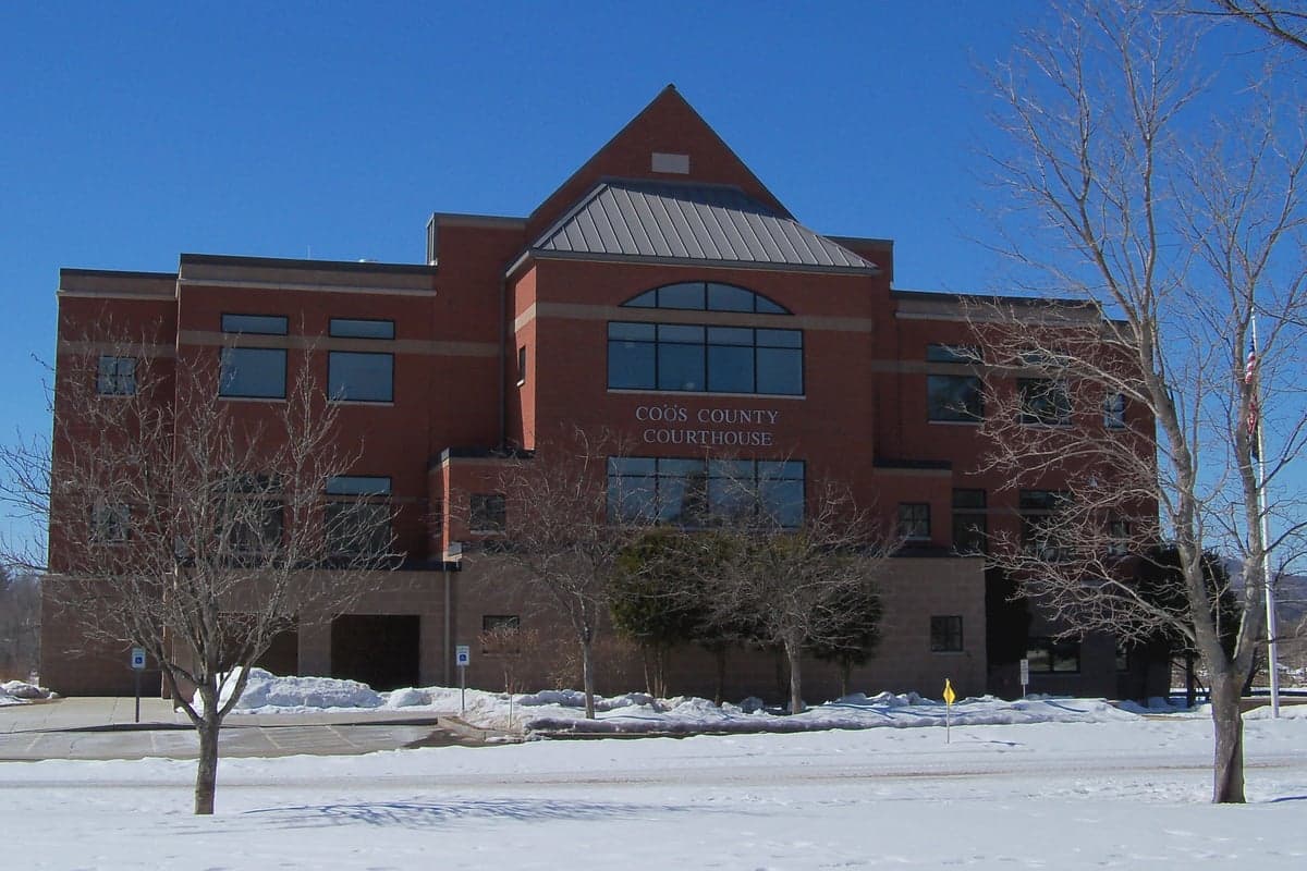
Photo: Wikipedia
Strategic Assessment of Coos County
Meaningful friction. Expect exposure to either population pressure, blast zones, or natural disaster risk. Consider buying a retreat property.
What does the Strategic Assessment tell us?
Our Strategic Assessment grades tactical survivability of an area. Major population centers, military targets, fallout zones, natural disasters, and border exposure all drive risk — lower exposure means a more defensible position in a crisis.
This is heavily inspired by Joel Skousen's Strategic Relocation book. Highly recommended you checkout the book ($)What does this tell us?
Our Strategic Assessment grades tactical survivability of an area. Major population centers, military targets, fallout zones, natural disasters, and border exposure all drive risk — lower exposure means a more defensible position in a crisis.
This is heavily inspired by Joel Skousen's Strategic Relocation book. Highly recommended you checkout the book ($)Strategic Pillars

Key Distances
Strategic Assessment Analysis
Coos County, New Hampshire, offers a compelling strategic profile for relocation-minded individuals and families who prioritize resilience, self-sufficiency, and distance from major metropolitan vulnerabilities. Situated at the northern tip of the state, bordering both Canada and Maine, this region combines geographic isolation with access to critical natural resources, making it one of the more defensible and disaster-resilient areas in the northeastern United States. Its low population density, abundant fresh water, and distance from high-value targets like Boston, New York, and the Portsmouth Naval Shipyard create a buffer that few other New England counties can match.
Geographic position and natural advantages for long-term security
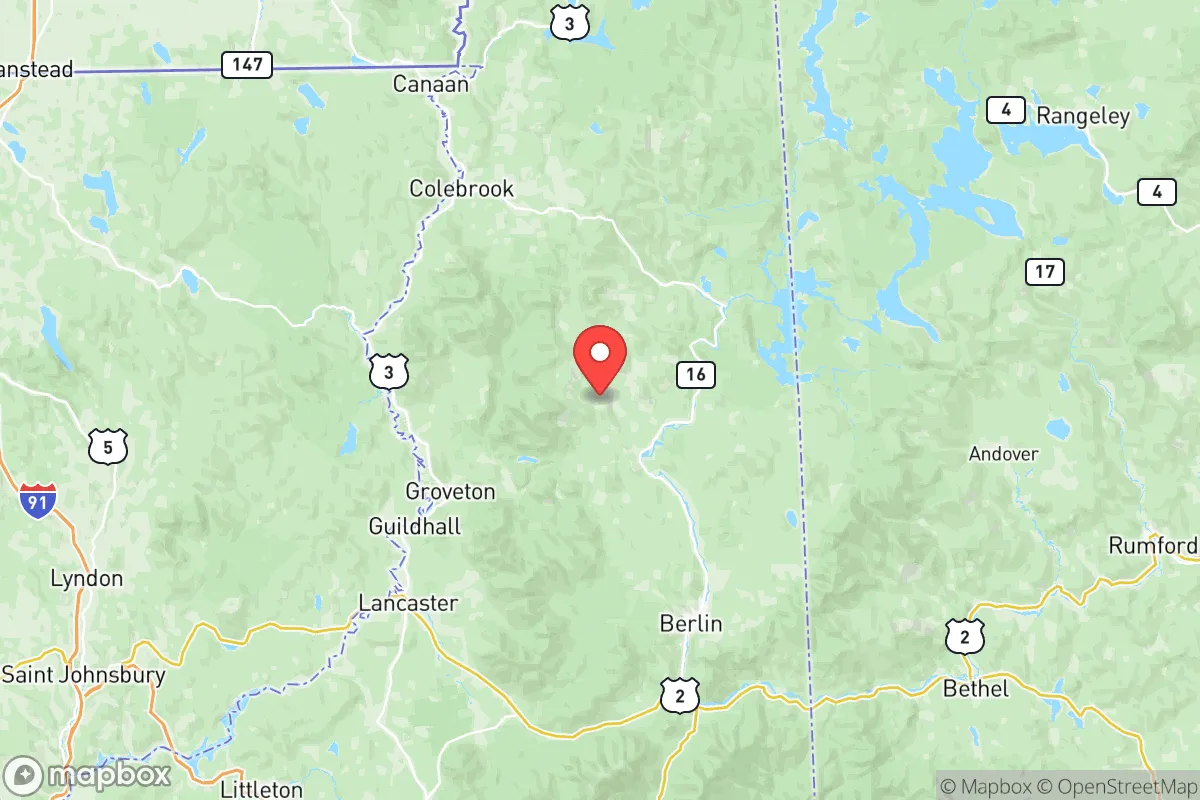
Coos County’s location is its primary strategic asset. The county is anchored by the towns of Berlin and Lancaster, with the entire region sitting north of the White Mountain National Forest, which acts as a natural barrier to the south. This forested mountain range provides a significant physical buffer against both weather events and human movement, limiting access to a handful of state routes (primarily US-3 and NH-16). To the north, the Canadian border at Pittsburg offers a potential secondary zone for trade or retreat, though it also requires awareness of cross-border logistics. The county’s position relative to major fallout-relevant landmarks is favorable: it sits roughly 200 miles north of Boston’s urban core, 150 miles from the Portsmouth Naval Shipyard (a known strategic target), and over 300 miles from New York City. No major military bases, refineries, or nuclear power plants exist within the county itself. The nearest nuclear plant, Seabrook Station, is over 120 miles south, well outside the most dangerous fallout zones for a ground-level detonation. The Connecticut River forms the western border, providing a reliable water source and a natural boundary that complicates approach from that direction. The county’s elevation, averaging over 1,000 feet, reduces flood risk compared to coastal or river-valley communities, and its cold climate naturally limits pest-borne diseases and growing seasons for certain agricultural threats.
Risks, exposures, and proximity to fallout-relevant landmarks
While Coos County is distant from the highest-risk targets, it is not immune to secondary effects. The primary man-made risk comes from its proximity to the Portland, Maine metropolitan area (about 90 miles southeast), which includes the Port of Portland—a significant fuel and cargo hub that could be a secondary target in a conflict scenario. Fallout from a strike on Portland could reach Coos County within hours depending on wind patterns, though the county’s mountainous terrain and forest cover would provide some attenuation. The Berlin area itself has a small industrial history (paper mills, biomass plants), but these are not strategic targets. A more realistic concern is the county’s reliance on a single major north-south road (US-3) and a single rail line (the St. Lawrence & Atlantic Railroad) for resupply. A disruption at the Crawford Notch or Pinkham Notch passes could effectively isolate the county from southern New Hampshire for days. Natural risks include severe winter storms, which can drop 100+ inches of snow annually and cause prolonged power outages, and the potential for ice storms that damage infrastructure. The county sits in a low-seismic zone, with no significant earthquake history. Wildfire risk is moderate, concentrated in dry summers, but the dense forest cover means a large fire could threaten isolated homesteads. Flooding is limited to the Connecticut River floodplain near Northumberland and Lancaster, but most residential areas are on higher ground.
Practical resilience for a relocator: food, water, energy, and defensibility
For a relocator focused on self-sufficiency, Coos County offers strong fundamentals. Water is abundant: the Connecticut River, Androscoggin River, and countless lakes (including Lake Francis and First Connecticut Lake) provide year-round surface water, and groundwater is generally accessible via shallow wells in the valley areas. The county’s average annual precipitation of 40-50 inches supports rain catchment systems. Food production is limited by a short growing season (roughly 90-120 frost-free days), but cold-hardy crops like potatoes, root vegetables, and certain grains can be grown. The region has a strong hunting and fishing culture—deer, moose, turkey, and small game are plentiful, and the rivers support trout and salmon. For long-term food security, greenhouse or high-tunnel growing is almost essential. Energy resilience is a mixed picture: the grid is served by Eversource and is vulnerable to winter outages, but the county has a high density of off-grid homes using wood heat, solar panels, and small-scale hydro. The Berlin area has a biomass plant that could provide local power in a grid-down scenario, though it would require fuel supply chains. Defensibility is excellent: the county’s low population density (about 11 people per square mile) means few neighbors, and the mountainous terrain offers natural chokepoints. The Pittsburg area, with its network of logging roads and lakes, is particularly defensible for a small group. However, the same isolation that provides security also means limited law enforcement presence—the county has only a handful of state troopers and local police departments, so community self-policing and mutual aid networks are critical. Medical access is limited to the Androscoggin Valley Hospital in Berlin and Weeks Medical Center in Lancaster, both small facilities; serious trauma care requires a 2-3 hour drive to Lebanon or Portland.
Overall, Coos County presents a strong strategic picture for a relocator who values distance from urban centers, natural resource abundance, and defensible terrain. Its primary weaknesses—short growing season, winter severity, and limited medical infrastructure—are manageable with proper preparation and a realistic understanding of the trade-offs. For a family or individual willing to invest in cold-climate self-sufficiency (wood heat, greenhouse, water storage, and community ties), this region offers one of the better risk-adjusted profiles in the Northeast. The key is to treat the isolation as a feature, not a bug, and to build redundancy into every system—because when the snow flies and the roads close, you are on your own. That is precisely the point.

* Values derived from national, state, county, city and local statistics and may differ in a specific area. Last updated: 2026-07-17T10:12:47.000Z
Narrative content on this page is AI-generated and may contain mistakes. Verify any details that matter before acting on them.
ReloMaps may earn a commission from affiliate links at no extra cost to you.

