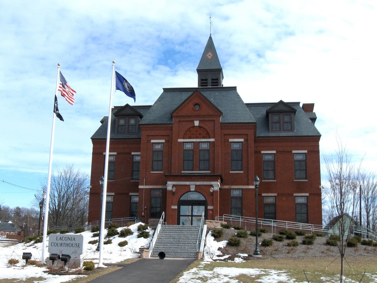
Photo: Wikipedia
Strategic Assessment of Belknap County
Meaningful friction. Expect exposure to either population pressure, blast zones, or natural disaster risk. Consider buying a retreat property.
What does the Strategic Assessment tell us?
Our Strategic Assessment grades tactical survivability of an area. Major population centers, military targets, fallout zones, natural disasters, and border exposure all drive risk — lower exposure means a more defensible position in a crisis.
This is heavily inspired by Joel Skousen's Strategic Relocation book. Highly recommended you checkout the book ($)What does this tell us?
Our Strategic Assessment grades tactical survivability of an area. Major population centers, military targets, fallout zones, natural disasters, and border exposure all drive risk — lower exposure means a more defensible position in a crisis.
This is heavily inspired by Joel Skousen's Strategic Relocation book. Highly recommended you checkout the book ($)Strategic Pillars

Key Distances
Strategic Assessment Analysis
Belknap County, New Hampshire, offers a compelling strategic profile for relocators prioritizing disaster readiness and self-sufficiency, anchored by its position in the Lakes Region and its distance from major metropolitan targets. The county’s resilience stems from a combination of low population density, abundant natural resources, and geographic insulation from the highest-risk zones along the Eastern Seaboard. For a reader weighing long-term security against access to essential services, Belknap County presents a balanced option—neither a remote wilderness nor a vulnerable suburb, but a defensible, resource-rich area with a track record of weathering regional disruptions.
Geographic position and natural advantages for long-term security
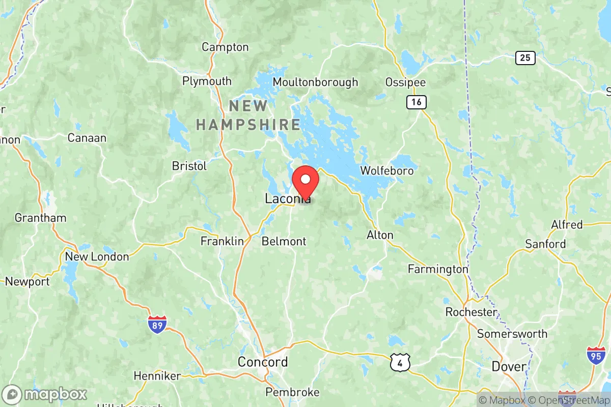
Belknap County sits roughly 60 miles north of Manchester and 90 miles from Boston, placing it outside the immediate blast and fallout zones of major metropolitan targets while remaining within a day’s drive of critical infrastructure. The county’s defining feature is its abundance of freshwater: Lake Winnipesaukee, the largest lake in New Hampshire, covers 44,586 acres and is supplemented by dozens of smaller lakes, ponds, and rivers, including Lake Winnisquam and the Merrimack River’s headwaters. This water security is a significant advantage in a grid-down scenario, as surface water is plentiful and groundwater recharge rates are high. The terrain is rolling hills and mixed forest, with the Belknap Mountains rising to 2,382 feet at Mount Major, providing natural defensibility and line-of-sight advantages for communications. The county’s 60% forest cover offers ample timber for fuel, construction, and concealment, while the region’s agricultural history means many properties retain well-drained soils suitable for small-scale farming. Laconia, the county seat, sits at the center of the Lakes Region and serves as a logistical hub with a hospital, rail access, and a general aviation airport, but its population of roughly 16,000 means it does not present the concentration risk of a larger city.
Risks, exposures, and proximity to fallout-relevant landmarks
Belknap County’s primary risk exposure is not from direct attack but from secondary effects of regional disruption. The county lies approximately 100 miles from the Portsmouth Naval Shipyard in Kittery, Maine, a strategic submarine maintenance facility that could be a target in a conflict. Similarly, the Seabrook Nuclear Power Plant, located 70 miles southeast on the New Hampshire coast, presents a low-probability but high-consequence risk of radiological release; prevailing winds from the southwest would carry fallout toward the coast, not inland, but a shift in weather patterns could affect the Lakes Region. The county is also roughly 120 miles from the Boston metropolitan area, a high-value target for both conventional and nuclear strikes. In a major event, Belknap County would likely see an influx of evacuees from the Boston-to-Manchester corridor, straining local resources. Natural hazards are modest: the region experiences occasional ice storms, nor’easters, and flooding along the Winnipesaukee River, but it is not in a hurricane zone, has minimal tornado risk, and is seismically stable. The county’s elevation and northern latitude mean winter storms are a regular challenge, but they are predictable and manageable with proper preparation.
Practical resilience for a relocator: food, water, energy, and defensibility
For a relocator focused on self-sufficiency, Belknap County offers strong fundamentals. Water access is the county’s standout asset: year-round streams, lakes, and high water tables mean most properties can support a drilled well or surface water collection, and the region’s 40–50 inches of annual rainfall provides reliable recharge. The growing season runs roughly 120–140 days, suitable for cold-hardy crops like potatoes, squash, and leafy greens, and the county has a network of small farms, farmers’ markets, and agricultural supply stores in towns like Gilford, Meredith, and Tilton. Firewood is the primary heating fuel for many rural homes, and the county’s forests provide ample supply; a typical cord of hardwood costs $250–$350 delivered, and many properties have standing timber for personal harvest. Solar potential is moderate—the region receives about 4.0 peak sun hours per day—but micro-hydro from streams and small-scale wind turbines on ridgelines are viable supplements. The county’s defensibility is enhanced by its road network: Interstate 93 runs north-south through the western edge, providing a primary evacuation route, while secondary roads like NH-11 and NH-25 create multiple egress options. However, the same roads that enable evacuation also allow access from population centers, so relocators should prioritize properties on dead-end roads or with limited visibility from main routes. The county has a strong tradition of volunteer fire departments and a sheriff’s office with 24 sworn deputies, but law enforcement response times in rural areas can exceed 20 minutes, making personal security and community mutual aid essential.
Overall, Belknap County presents a strategic profile that balances accessibility with resilience, making it a viable option for relocators who want to be within reach of regional infrastructure without being exposed to the highest-risk zones. Its water abundance, forest resources, and distance from primary targets are genuine advantages, while its proximity to the Portsmouth Naval Shipyard and Boston corridor introduces manageable but real secondary risks. For a single individual or family willing to invest in winter preparedness, food storage, and community integration, the county offers a defensible, resource-rich base that can sustain a household through most regional disruptions. The key trade-off is between isolation and access: Belknap County is not remote enough to guarantee safety from evacuee influx or fallout drift, but it is far enough from the highest-risk targets to provide a meaningful buffer. Relocators should prioritize properties with independent water and heating systems, evaluate local mutual aid networks, and plan for the possibility of temporary population surges from the south.

* Values derived from national, state, county, city and local statistics and may differ in a specific area. Last updated: 2026-07-08T15:10:53.000Z
Narrative content on this page is AI-generated and may contain mistakes. Verify any details that matter before acting on them.
ReloMaps may earn a commission from affiliate links at no extra cost to you.

