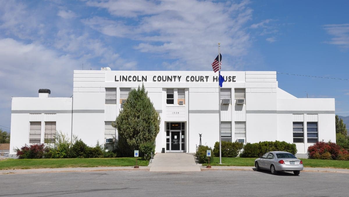
Photo: Wikipedia
Strategic Assessment of Lincoln County
Strong survivability profile. Good buffer from population centers, with manageable environmental and tactical risks.
What does the Strategic Assessment tell us?
Our Strategic Assessment grades tactical survivability of an area. Major population centers, military targets, fallout zones, natural disasters, and border exposure all drive risk — lower exposure means a more defensible position in a crisis.
This is heavily inspired by Joel Skousen's Strategic Relocation book. Highly recommended you checkout the book ($)What does this tell us?
Our Strategic Assessment grades tactical survivability of an area. Major population centers, military targets, fallout zones, natural disasters, and border exposure all drive risk — lower exposure means a more defensible position in a crisis.
This is heavily inspired by Joel Skousen's Strategic Relocation book. Highly recommended you checkout the book ($)Strategic Pillars

Key Distances
Strategic Assessment Analysis
Lincoln County, Nevada, offers a strategic relocation option for those prioritizing resilience and self-sufficiency, combining extreme remoteness with surprising access to critical infrastructure. Stretching across the high desert east of Las Vegas, the county’s population of roughly 4,500 people is spread among small towns like Caliente, Pioche, and Panaca, creating a low-density environment that naturally reduces exposure to cascading urban failures. The area’s geographic isolation, coupled with its position along major transportation corridors, makes it a defensible base for individuals and families serious about disaster readiness.
Geographic position and natural advantages for long-term self-sufficiency
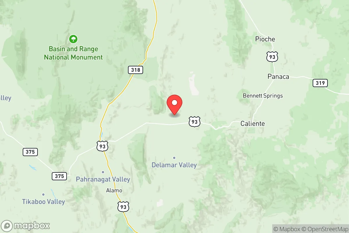
Lincoln County sits in a sweet spot for resilience: far enough from major population centers to avoid the immediate fallout of a metropolitan collapse, yet close enough to access supplies and services when needed. The county is roughly 150 miles north of Las Vegas and 200 miles southwest of Salt Lake City, placing it outside the likely blast or fallout zones of those cities while still within a day’s drive for resupply. The terrain is dominated by the Meadow Valley Mountains and the Clover Mountains, offering natural barriers that slow movement and provide defensible positions. Elevations range from 3,000 to 8,000 feet, giving residents access to cooler temperatures and more reliable water sources than the lower desert. The Meadow Valley Wash runs through the county, providing a perennial water source that supports small-scale agriculture in the Panaca and Caliente areas. The region’s low population density—about 0.5 people per square mile—means less competition for resources during a crisis, and the lack of major industrial targets reduces the risk of secondary disasters like chemical spills or grid failures.
Risks, exposures, and proximity to fallout-relevant landmarks
While Lincoln County is far from the worst-case scenarios, it is not without risks. The most significant man-made threat comes from the Nevada National Security Site (NNSS), located about 100 miles southwest of the county. The NNSS, formerly the Nevada Test Site, has a history of nuclear testing and still houses hazardous materials, though the risk of a catastrophic release is low. More immediately, the county lies within 200 miles of the Los Angeles–Las Vegas–Salt Lake City transportation corridor, meaning a major event on Interstate 15 could disrupt supply chains for weeks. The Caliente rail yard, a key junction for Union Pacific, is a potential target for sabotage or accident, as it handles hazardous materials including chemicals and fuels. Natural risks include drought, which is chronic in the Great Basin, and wildfire, which can spread rapidly through the pinyon-juniper woodlands that cover much of the county. The region is also seismically active, with the Wasatch Fault zone to the east and smaller faults within the county, though major earthquakes are rare. Flooding is a localized concern in the Meadow Valley Wash during heavy rain events, but the arid climate limits this risk. Overall, Lincoln County’s exposure to man-made disasters is low compared to urban or industrial areas, but relocators should plan for extended isolation during winter storms that can close mountain passes for days.
Practical resilience for a relocator: food, water, energy, and defensibility
For those serious about self-sufficiency, Lincoln County offers a workable foundation but requires deliberate preparation. Water is the critical variable: the county averages only 8–12 inches of precipitation annually, so reliance on wells or surface water from the Meadow Valley Wash is essential. The Panaca Spring system provides a reliable source for the Panaca area, but most rural properties need deep wells, which can cost $10,000–$20,000 to drill. Rainwater harvesting is viable but limited by low rainfall; storage tanks are a must. Food production is possible but challenging: the growing season is short (120–150 days) and soils are alkaline, so raised beds and greenhouses are recommended. The Caliente Farmers Market and local co-ops offer some fresh produce in summer, but long-term food storage is the norm for serious preppers. Energy is a bright spot: the county has excellent solar potential, with over 300 sunny days per year, and wind is consistent in the higher elevations. Off-grid solar setups are common, and the local utility, Lincoln County Power District, offers net metering for grid-tied systems. Defensibility is strong due to the terrain: the Pioche Hills and Clover Mountains provide natural chokepoints, and the low population means fewer people to compete with. However, the county’s remote location also means law enforcement response times can exceed 30 minutes, so personal security and community networks are vital. The Lincoln County Sheriff’s Office is professional but understaffed, and the nearest hospital is in Mesquite, 45 miles from Caliente, so medical self-reliance is non-negotiable.
The overall strategic picture for Lincoln County is one of high potential paired with significant trade-offs. For a relocator who values isolation, low population density, and natural defensibility, the county offers a rare combination of remoteness and access to critical infrastructure like the Union Pacific rail line and Interstate 15. The risks—drought, wildfire, and the distant shadow of the NNSS—are manageable with proper planning, and the region’s history of self-reliance (from the mining boom of Pioche to the Mormon settlements of Panaca) provides a cultural foundation for resilience. The key is to arrive prepared: with water storage, solar capacity, and a willingness to build community ties in towns like Caliente or Pioche. Lincoln County is not for everyone, but for those who can handle the isolation and the work, it stands as one of the more defensible and strategically sound locations in the Intermountain West.

* Values derived from national, state, county, city and local statistics and may differ in a specific area. Last updated: 2026-07-03T04:50:51.000Z
Narrative content on this page is AI-generated and may contain mistakes. Verify any details that matter before acting on them.
ReloMaps may earn a commission from affiliate links at no extra cost to you.

