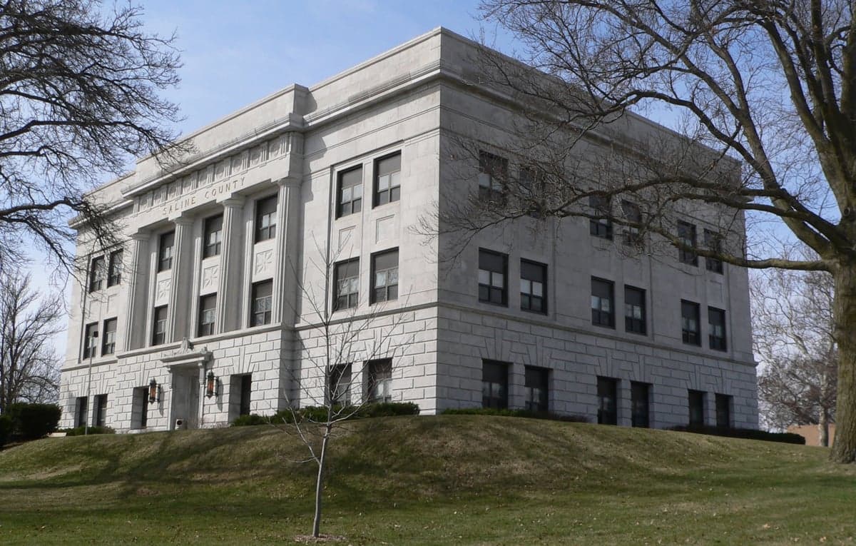
Photo: Wikipedia
Strategic Assessment of Saline County
Workable tactical position. Some exposure to population density or targets, but generally defensible in a crisis.
What does the Strategic Assessment tell us?
Our Strategic Assessment grades tactical survivability of an area. Major population centers, military targets, fallout zones, natural disasters, and border exposure all drive risk — lower exposure means a more defensible position in a crisis.
This is heavily inspired by Joel Skousen's Strategic Relocation book. Highly recommended you checkout the book ($)What does this tell us?
Our Strategic Assessment grades tactical survivability of an area. Major population centers, military targets, fallout zones, natural disasters, and border exposure all drive risk — lower exposure means a more defensible position in a crisis.
This is heavily inspired by Joel Skousen's Strategic Relocation book. Highly recommended you checkout the book ($)Strategic Pillars

Key Distances
Strategic Assessment Analysis
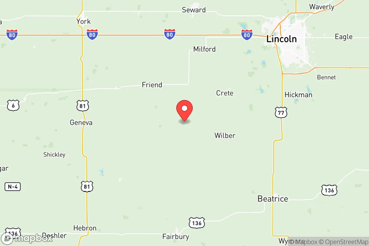
Saline County, Nebraska, offers a strategic blend of Midwestern stability and practical self-sufficiency that appeals to relocation-minded individuals and families prioritizing resilience. Anchored by the county seat of Wilber and the larger town of Crete, the area sits roughly 25 miles southwest of Lincoln and 85 miles from Omaha, placing it close enough to urban resources for supply runs or medical access but far enough to avoid the density and vulnerability of major metropolitan centers. The county’s agricultural base, low population density (roughly 14,000 residents across 576 square miles), and position away from major interstate corridors contribute to a profile that favors long-term preparedness over immediate convenience.
Geographic position and natural advantages for long-term stability
Saline County’s location in southeastern Nebraska places it within the fertile plains of the Big Blue River valley, a region historically valued for its reliable water access and productive soils. The Big Blue River runs through the county, providing a surface water source that, while not pristine, can support irrigation and basic filtration needs with proper treatment. The terrain is gently rolling to flat, offering good drainage and minimal flood risk outside immediate river bottoms—unlike the flash-flood-prone areas of central Nebraska or the Missouri River corridor. The county’s position also keeps it well away from the Sandhills’ aquifer recharge zones and the Ogallala Aquifer’s deeper reaches, but local groundwater is generally accessible at moderate depths (50–150 feet) for private wells, a key advantage for off-grid water security. The climate is continental, with cold winters and hot summers, but the region experiences fewer tornadoes than areas farther west in Nebraska’s “Tornado Alley” core, and the Big Blue River valley offers some natural windbreaks from tree lines and rolling hills. For a relocator, this means a defensible, low-disaster-risk environment where basic resource access—water, arable land, and moderate weather extremes—is achievable without extreme engineering.
Risks, exposures, and proximity to fallout-relevant landmarks
Saline County’s primary risk profile centers on its proximity to Lincoln and, to a lesser extent, Omaha, both of which host potential secondary targets in a major conflict or infrastructure collapse. Lincoln is home to the University of Nebraska–Lincoln, state government offices, and the Lincoln Air National Guard Base, while Omaha hosts Offutt Air Force Base (home of U.S. Strategic Command) and major rail and communications hubs. In a nuclear or EMP scenario, these cities could face direct strikes or cascading failures, placing Saline County within the moderate fallout zone—roughly 25–50 miles downwind of Lincoln depending on wind patterns. The county itself contains no major military bases, refineries, or high-value industrial targets, which is a net positive. However, the Burlington Northern Santa Fe (BNSF) rail line runs through Crete and Wilber, connecting to Lincoln and points west, and the county’s grain elevators and ethanol plants (notably the Green Plains plant in Crete) could become secondary targets or choke points in a prolonged disruption. The risk of natural disasters is low: severe thunderstorms and occasional hail are the main threats, with a historical average of one tornado every 5–10 years, typically weak (EF0–EF1). Flooding along the Big Blue River is manageable, with most development on higher ground. For a relocator, the key takeaway is that Saline County is not a primary target but sits close enough to Lincoln to require a solid plan for evacuation or sheltering in place—especially if prevailing winds shift during a fallout event.
Practical resilience for a relocator: food, water, energy, and defensibility
Saline County’s agricultural economy provides a strong foundation for food security. The county is a major producer of corn, soybeans, and alfalfa, with numerous family farms and a robust network of local grain elevators and co-ops. Crete is home to the Crete Mills grain processing facility, which can supply bulk grains for long-term storage, and the surrounding area has a high density of livestock operations (cattle and hogs) that could support protein sourcing in a collapse scenario. For water, private wells are common in rural areas, with typical depths of 60–120 feet yielding reliable groundwater; the Big Blue River offers a backup surface source, though treatment (boiling or filtration) would be necessary. The county’s energy grid is served by the Nebraska Public Power District, which relies heavily on coal and nuclear (the Cooper Nuclear Station is 60 miles southeast near Brownville), but the area has growing solar adoption on farms and some small wind installations. For off-grid energy, the region’s average 200+ sunny days per year make solar viable, and the flat terrain allows for easy installation of ground-mounted panels. Defensibility is moderate: the county’s low population density means fewer neighbors to contend with, but the open terrain offers limited natural cover. The towns of Wilber (population ~1,800) and Crete (~7,000) are small enough to be manageable but large enough to attract attention in a crisis. Rural properties with good sightlines, access to a well, and a buffer of farmland are ideal. The county’s road network is sparse—mainly state highways 33, 41, and 103—which limits traffic congestion but also restricts escape routes if Lincoln or Omaha become impassable. For a relocator, the practical takeaway is that Saline County offers strong food and water resilience, moderate energy independence potential, and a defensible rural layout, but requires advance planning for medical emergencies (the nearest trauma center is in Lincoln) and a clear strategy for securing supplies during the first 30 days post-disruption.
Overall, Saline County presents a compelling strategic picture for the resilience-minded relocator who values agricultural self-sufficiency and low exposure to primary targets, while accepting the trade-offs of proximity to Lincoln and a relatively open landscape. The county’s strengths lie in its groundwater access, local food production capacity, and distance from major military and industrial hubs—factors that reduce the likelihood of direct fallout or infrastructure collapse. Its weaknesses include a reliance on Lincoln for advanced medical care, a sparse road network that could become a bottleneck, and the need for proactive water treatment and energy backup. For a family or individual willing to invest in a well, solar panels, and a 6–12 month food supply, Saline County offers a realistic base for long-term resilience in the central Great Plains, with the added benefit of a tight-knit, rural community that values self-reliance. The key is to treat it as a strategic outpost—not a fortress—and to build relationships with local farmers and neighbors before any crisis hits.

* Values derived from national, state, county, city and local statistics and may differ in a specific area. Last updated: 2026-07-02T05:41:16.000Z
Narrative content on this page is AI-generated and may contain mistakes. Verify any details that matter before acting on them.
ReloMaps may earn a commission from affiliate links at no extra cost to you.

