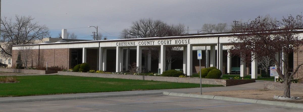
Photo: Wikipedia
Strategic Assessment of Cheyenne County
Deep buffer from population centers and strategic targets. Low natural disaster risk and minimal exposure to border or coastal threats.
What does the Strategic Assessment tell us?
Our Strategic Assessment grades tactical survivability of an area. Major population centers, military targets, fallout zones, natural disasters, and border exposure all drive risk — lower exposure means a more defensible position in a crisis.
This is heavily inspired by Joel Skousen's Strategic Relocation book. Highly recommended you checkout the book ($)What does this tell us?
Our Strategic Assessment grades tactical survivability of an area. Major population centers, military targets, fallout zones, natural disasters, and border exposure all drive risk — lower exposure means a more defensible position in a crisis.
This is heavily inspired by Joel Skousen's Strategic Relocation book. Highly recommended you checkout the book ($)Strategic Pillars

Key Distances
Strategic Assessment Analysis
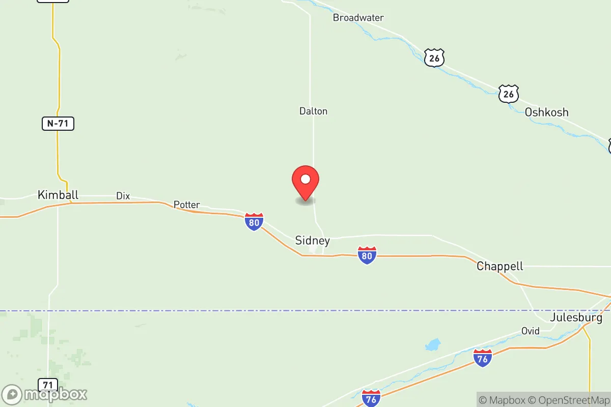
Cheyenne County, Nebraska, offers a compelling mix of geographic isolation and practical self-sufficiency that appeals to relocation-minded individuals and families who prioritize disaster readiness and long-term resilience. Located in the Nebraska Panhandle, the county is anchored by the city of Sidney and the smaller communities of Potter, Gurley, and Dalton, placing it far from the major population corridors and strategic targets that define higher-risk zones. Its position along the High Plains, roughly 90 miles from the Denver metro area and over 400 miles from the nearest major military installation like Offutt Air Force Base near Omaha, provides a meaningful buffer against both natural cascading failures and man-made fallout scenarios.
Geographic position and natural advantages for long-term security
Cheyenne County sits on the Ogallala Aquifer, one of the largest freshwater aquifers in the world, which gives the area a significant water security advantage over much of the arid West. The county's elevation—averaging around 4,000 feet—places it above the flood-prone river valleys that threaten communities along the Platte and Missouri Rivers. The terrain is open, rolling shortgrass prairie, which offers good visibility and limited wildfire fuel compared to forested regions, though grass fires remain a seasonal concern. The climate is semi-arid, with cold winters and hot summers, but the low humidity reduces the risk of mold and structural decay in stored supplies. For a relocator thinking about defensibility, the sparse population density—roughly 9 people per square mile—means fewer neighbors and less competition for resources in a crisis, but also fewer immediate support networks. The county's position along Interstate 80 provides a reliable transportation corridor, but it also means the area is not completely off the grid; Sidney is a known truck stop and service hub, which could attract transient populations during a disruption.
Risk exposure and proximity to fallout-relevant landmarks
Cheyenne County's primary risk exposure comes from its proximity to two categories of potential targets: military infrastructure and energy corridors. Roughly 120 miles to the southwest lies the U.S. Strategic Command's Cheyenne Mountain Complex near Colorado Springs, a primary nuclear command and control facility that would be a high-priority target in a major conflict. Additionally, the Rocky Mountain Arsenal and the Denver Federal Center, both within 100 miles, represent secondary risks. Within Nebraska itself, the county is about 150 miles from the Nebraska Public Power District's Cooper Nuclear Station near Brownville, though prevailing winds generally carry fallout eastward, away from the Panhandle. The county also sits near the route of the Keystone XL pipeline corridor, which, while not operational, represents a potential target for sabotage or infrastructure collapse. On the positive side, Cheyenne County has no major refineries, ports, or large-scale industrial facilities within its borders, and the nearest major military base is F.E. Warren Air Force Base in Wyoming, about 100 miles northwest, which is a missile wing facility and thus a potential target. The overall risk profile is moderate: the area is not a primary target zone, but it lies within the fallout shadow of several high-value assets in the Front Range corridor.
Practical resilience for relocators: food, water, energy, and defensibility
For a relocator serious about self-sufficiency, Cheyenne County offers several structural advantages. Water access is the strongest asset: the Ogallala Aquifer provides reliable groundwater at depths of 100 to 300 feet, and many rural properties already have private wells. Surface water is limited, with the Lodgepole Creek and smaller tributaries running intermittently, so well drilling is the practical standard. Food production is viable but requires planning; the growing season is short, roughly 130 days, but dryland wheat farming and cattle ranching dominate the local agricultural economy, meaning bulk grain and livestock are available locally. Sidney has a regional hospital, grocery stores, and farm supply outlets, but for long-term resilience, relocators should plan for on-site food storage and seed banking. Energy infrastructure is mixed: the county is served by High Plains Power and the Western Area Power Administration, with grid electricity coming from coal and natural gas plants in Wyoming and Nebraska. Solar potential is excellent, with over 260 sunny days per year, and wind energy is abundant, though small-scale wind turbines require permitting and maintenance. Defensibility is aided by the open terrain, which provides clear sightlines, but the lack of natural barriers like mountains or dense forests means that a determined group could approach from any direction. The county's law enforcement presence is limited, with the Cheyenne County Sheriff's Office covering a vast area, so community-based security arrangements would be essential for a group relocating together.
The overall strategic picture for Cheyenne County is one of moderate resilience with clear trade-offs. It offers strong water security, low population density, and distance from the highest-risk national targets, making it a viable option for relocators who want a buffer from coastal and urban vulnerabilities. However, its position within the fallout shadow of the Front Range military and energy infrastructure means it is not a zero-risk zone, and its reliance on the grid and external supply chains for fuel and medical supplies requires advance planning. For a family or individual willing to invest in well drilling, solar backup, and community-building, Cheyenne County provides a defensible, resource-secure base that balances isolation with access to Interstate 80 for resupply and travel. It is not a bug-out location for a short-term crisis, but a long-term homesteading environment where preparation and neighborly cooperation will determine outcomes.

* Values derived from national, state, county, city and local statistics and may differ in a specific area. Last updated: 2026-07-02T15:29:05.000Z
Narrative content on this page is AI-generated and may contain mistakes. Verify any details that matter before acting on them.
ReloMaps may earn a commission from affiliate links at no extra cost to you.

