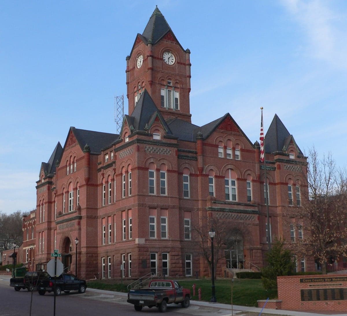
Photo: Wikipedia
Strategic Assessment of Cass County
Workable tactical position. Some exposure to population density or targets, but generally defensible in a crisis.
What does the Strategic Assessment tell us?
Our Strategic Assessment grades tactical survivability of an area. Major population centers, military targets, fallout zones, natural disasters, and border exposure all drive risk — lower exposure means a more defensible position in a crisis.
This is heavily inspired by Joel Skousen's Strategic Relocation book. Highly recommended you checkout the book ($)What does this tell us?
Our Strategic Assessment grades tactical survivability of an area. Major population centers, military targets, fallout zones, natural disasters, and border exposure all drive risk — lower exposure means a more defensible position in a crisis.
This is heavily inspired by Joel Skousen's Strategic Relocation book. Highly recommended you checkout the book ($)Strategic Pillars

Key Distances
Strategic Assessment Analysis
Cass County, Nebraska, presents a mixed strategic picture for the relocation-minded reader—offering genuine geographic resilience and a buffer from metropolitan chaos while sitting in the shadow of one of the nation’s most critical military-industrial corridors. The county’s position between Omaha and Lincoln gives it small-town character with big-city proximity, but that proximity cuts both ways when evaluating fallout risks and infrastructure dependencies. For the self-sufficient relocator, the key trade-off here is between access to fertile farmland and water versus exposure to the logistics and industrial targets of the broader region.
Geographic position and natural advantages of Cass County
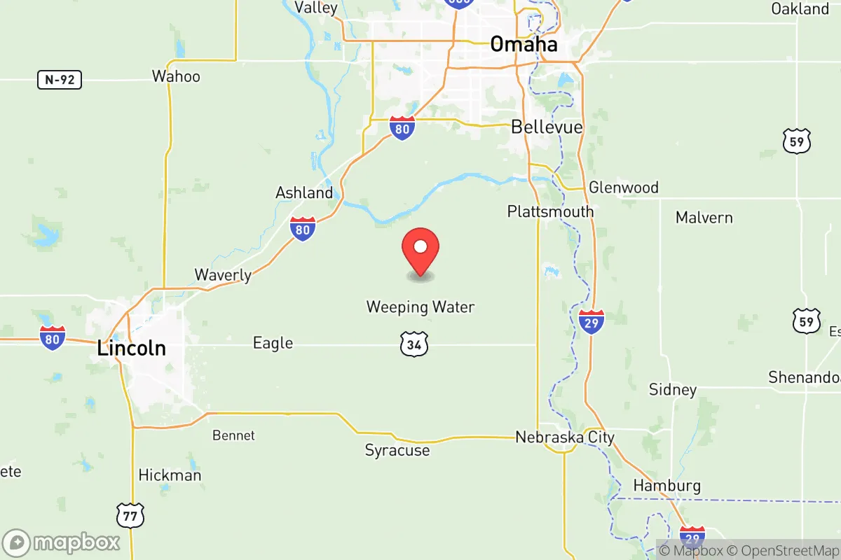
Cass County sits roughly 20 miles southwest of downtown Omaha and about 15 miles southeast of Lincoln, placing it in the Platte River valley corridor. This is not remote mountain country—it’s agricultural flatland with rolling hills near the river—but that flatness brings genuine agricultural advantages. The county is part of the rich Missouri River tributary system, and its primary settlement, Plattsmouth, sits directly on the Missouri River at the county’s eastern edge. The Platte River runs along the county’s northern border, and smaller waterways like Weeping Water Creek drain the area. For a relocator, this means abundant surface water access and deep alluvial soils, which are excellent for small-scale farming and gardening. The county’s elevation is modest—roughly 1,000 feet above sea level—but its position along the Missouri River bluff line offers occasional high ground with natural defensibility. Towns like Louisville and Weeping Water sit on elevated terraces above the floodplain, providing flood safety without sacrificing water access. The climate is humid continental, with cold winters and hot summers, but the growing season is reliable enough for most food crops.
Risks, exposures, and proximity to fallout-relevant landmarks
This is where Cass County’s strategic picture gets complicated for the disaster-conscious relocator. The county lies within the orbit of Offutt Air Force Base, which is just 15 miles northeast of Plattsmouth in Bellevue, Nebraska. Offutt is a major U.S. Strategic Command (STRATCOM) headquarters—one of the most prominent nuclear command-and-control facilities in the country. In any major conflict scenario, Offutt is a primary target, and its proximity means Cass County sits well within the fallout zone for a ground burst or airburst event. Additionally, the county is near the Lincoln Airport, which hosts the Nebraska Air National Guard’s 155th Air Refueling Wing, another plausible target. Interstate 80, a major east-west logistics corridor, runs just north of the county through Lincoln, and the Union Pacific railyards in Omaha represent a conventional industrial target. For a reader weighing man-made risks, Cass County’s location near two major cities and a Tier 1 military installation is a clear liability. Tornadoes are the primary natural risk—the county is in Tornado Alley, with peak season April through June. Flooding along the Missouri and Platte Rivers is a secondary concern, though modern levees around Plattsmouth and Louisville mitigate much of that risk for established neighborhoods.
Practical resilience for a relocator: food, water, energy, and defensibility
On the food and water front, Cass County offers strong potential. The county is overwhelmingly agricultural—corn, soybeans, and hay are the dominant crops—and the soil is some of the best in the state. For a family looking to establish a small homestead or farm, land prices are reasonable compared to Douglas or Lancaster counties. The Weeping Water valley produces limestone and gravel, but more importantly for resilience, the area’s shallow groundwater table means wells are feasible for most parcels. Municipal water in towns like Plattsmouth and Eagle comes from the Missouri River and groundwater wells, but a private well with a hand pump is a realistic off-grid option. Energy infrastructure is exposed: most of the county’s power comes from the regional grid via overhead lines, and the Fort Calhoun Nuclear Station—just across the Missouri River in Washington County, Nebraska—is decommissioned and no longer an active risk, but its spent fuel pools remain a long-term environmental concern. For off-grid energy, solar is marginal in this latitude (around 4.5 peak sun hours per day), but wind is decent enough for a small turbine. Defensibility varies: the open agricultural land offers clear sightlines but little concealment. Plattsmouth’s historic downtown, situated on bluffs overlooking the river, provides some natural defensive advantages, but the county as a whole is not easily defended against a determined group. The nearest population centers of Omaha and Lincoln mean that any major disruption would likely see a suburban exodus into Cass County, complicating long-term security for established residents.
The overall strategic picture for Cass County is one of moderate resilience with notable exposure. The county’s agricultural base and water availability are genuine assets for a self-reliant relocator willing to invest in land and infrastructure. Its location near Offutt Air Force Base and the Omaha-Lincoln metro area, however, introduces risks that cannot be ignored. For the reader prioritizing low exposure to military-industrial targets and major population centers, eastern Nebraska—and Cass County specifically—is a compromise, not a pristine refuge. For a family looking for affordable land within two hours of a major city, with good soil and water, and who are willing to accept the proximity risks in exchange for amenities like hospitals and supply chains, Cass County is a viable but carefully considered option. The key is to locate well away from the Missouri River floodplain and the Interstate 80 corridor—think rural parcels near the Otoe County line or south of Weeping Water—to maximize distance from both natural and man-made threats.

* Values derived from national, state, county, city and local statistics and may differ in a specific area. Last updated: 2026-07-09T20:35:10.000Z
Narrative content on this page is AI-generated and may contain mistakes. Verify any details that matter before acting on them.
ReloMaps may earn a commission from affiliate links at no extra cost to you.

