Photo: Wikipedia
Strategic Assessment of Buffalo County
Strong survivability profile. Good buffer from population centers, with manageable environmental and tactical risks.
What does the Strategic Assessment tell us?
Our Strategic Assessment grades tactical survivability of an area. Major population centers, military targets, fallout zones, natural disasters, and border exposure all drive risk — lower exposure means a more defensible position in a crisis.
This is heavily inspired by Joel Skousen's Strategic Relocation book. Highly recommended you checkout the book ($)What does this tell us?
Our Strategic Assessment grades tactical survivability of an area. Major population centers, military targets, fallout zones, natural disasters, and border exposure all drive risk — lower exposure means a more defensible position in a crisis.
This is heavily inspired by Joel Skousen's Strategic Relocation book. Highly recommended you checkout the book ($)Strategic Pillars

Key Distances
Strategic Assessment Analysis
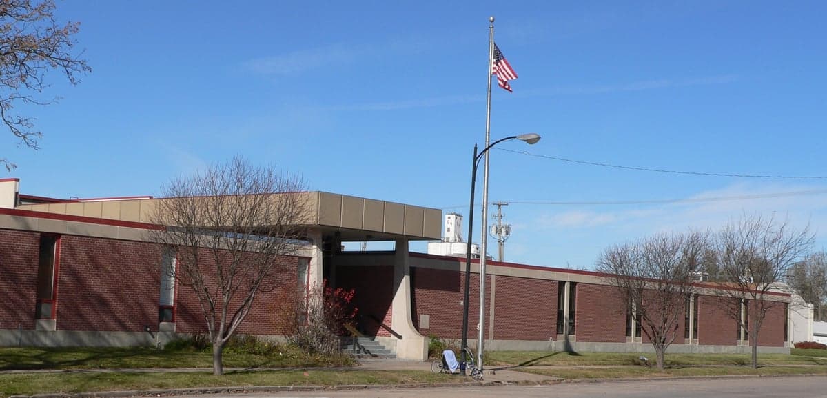
Buffalo County, Nebraska, anchored by the city of Kearney, offers a compelling strategic position for relocators prioritizing resilience and self-sufficiency. Its location along the Platte River valley, roughly midway between Omaha and Denver, places it in a sweet spot—far enough from major metropolitan targets to avoid primary fallout risks, yet close enough to access critical supply chains and healthcare. The county’s agricultural backbone, stable population of roughly 50,000, and low crime rates make it a practical choice for families and individuals seeking a defensible, resource-rich environment without the isolation of more remote regions.
Geographic position and natural advantages for long-term stability
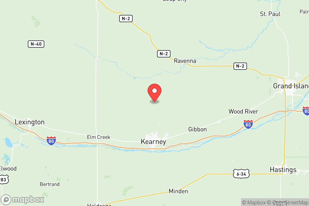
Buffalo County sits in south-central Nebraska, with Kearney as its economic and civic hub. The Platte River runs through the county, providing a reliable surface water source and supporting extensive irrigation for corn, soybeans, and alfalfa. The terrain is predominantly flat to gently rolling plains, with the Nebraska Sandhills beginning just north of the county line—offering natural grazing land and a buffer against large-scale development. The county’s elevation averages around 2,100 feet, which reduces flood risk compared to river valleys further east, though localized flooding along the Platte remains a manageable concern. The climate is continental, with cold winters and hot summers, but the region avoids the extreme weather volatility of Tornado Alley’s core—tornadoes occur but are less frequent and intense than in Oklahoma or Kansas. For a relocator, this means a predictable growing season (roughly 150 frost-free days) and a landscape that supports both row crops and livestock, with the Platte River serving as a natural corridor for wildlife and waterfowl.
Risks, exposures, and proximity to fallout-relevant landmarks
Buffalo County’s primary risk exposure comes not from direct targeting but from its position relative to higher-value infrastructure. The nearest major military installation is Offutt Air Force Base near Omaha, roughly 150 miles east—a likely target in a major conflict, but far enough that fallout dispersion models suggest minimal direct impact on Buffalo County, given prevailing westerly winds. The county itself hosts no nuclear power plants, major refineries, or strategic military assets. The closest significant industrial complex is the ethanol production facilities in central Nebraska, including plants in Ravenna (just north of Buffalo County) and Gibbon (within the county). These are secondary targets at best. More relevant for a relocator: the county lies about 200 miles from the South Dakota missile fields (Malmstrom AFB’s Minuteman silos are farther west), and 300 miles from Cheyenne’s F.E. Warren AFB. In a worst-case scenario, Buffalo County sits in a relative “low-value” zone—not worth a direct strike, and far enough from primary targets to avoid lethal fallout from most plausible scenarios. The main man-made risk is a derailment or hazardous material spill along the Union Pacific mainline that runs through Kearney, which is a real but localized hazard. Natural risks include severe winter storms (blizzards and ice storms) and occasional drought, both of which the region’s agricultural infrastructure is well-adapted to handle.
Practical resilience for a relocator: food, water, energy, and defensibility
Buffalo County excels in practical resilience metrics. Food production is the standout advantage: the county is among Nebraska’s top agricultural producers, with over 400,000 acres of cropland and extensive cattle feedlots. Kearney hosts a major Cargill beef processing plant, meaning local meat supply is abundant and direct. Small-scale farming and gardening are viable, with fertile loam soils and ample irrigation from the Platte River and the Ogallala Aquifer (which underlies the region). Water security is strong—the Platte River is a perennial stream, and groundwater levels in the county are stable compared to over-drafted areas of western Kansas. Most rural properties rely on private wells, while Kearney draws from municipal wells tapping the aquifer. Energy infrastructure is robust: the county is served by the Nebraska Public Power District, which operates a mix of coal, natural gas, and renewable sources (including wind farms in nearby counties). The Platte River also supports hydroelectric generation at the Kingsley Dam (Lake McConaughy) about 60 miles west. For off-grid capability, solar and small wind are feasible given the region’s sunny days and steady winds. Defensibility is moderate: the flat terrain offers limited natural chokepoints, but the county’s low population density and strong community networks (Kearney has a well-organized emergency management office) make it easier to secure resources and coordinate mutual aid. The county’s road network is grid-based, with multiple egress routes via Interstate 80 and U.S. Highway 30, reducing the risk of being cut off. For a relocator, the key practical takeaway is that Buffalo County offers a self-reinforcing loop: abundant local food and water, a stable energy grid, and a community that already thinks in terms of harvest cycles and winter prep.
The overall strategic picture for Buffalo County is one of balanced, low-drama resilience. It lacks the dramatic defensibility of mountainous terrain or the off-grid cachet of remote western counties, but it compensates with reliable resource abundance and a low target profile. For a family or individual serious about disaster readiness, the county provides a realistic middle ground: you can live a normal life in Kearney or a small town like Gibbon or Ravenna, with good schools and healthcare (CHI Health Good Samaritan in Kearney is a Level II trauma center), while maintaining the capacity to produce your own food and water if needed. The risks are manageable—winter storms, occasional flooding, and the distant shadow of national-level threats—and the advantages are concrete: you can buy a house on a few acres within 20 minutes of a Walmart and a hospital, with irrigation rights and a well. That combination of accessibility and self-sufficiency is rare, and it makes Buffalo County a strong candidate for anyone evaluating relocation through a resilience lens.

* Values derived from national, state, county, city and local statistics and may differ in a specific area. Last updated: 2026-06-29T01:20:52.000Z
Narrative content on this page is AI-generated and may contain mistakes. Verify any details that matter before acting on them.
ReloMaps may earn a commission from affiliate links at no extra cost to you.

