Photo: Wikipedia
Strategic Assessment of Carbon County
Strong survivability profile. Good buffer from population centers, with manageable environmental and tactical risks.
What does the Strategic Assessment tell us?
Our Strategic Assessment grades tactical survivability of an area. Major population centers, military targets, fallout zones, natural disasters, and border exposure all drive risk — lower exposure means a more defensible position in a crisis.
This is heavily inspired by Joel Skousen's Strategic Relocation book. Highly recommended you checkout the book ($)What does this tell us?
Our Strategic Assessment grades tactical survivability of an area. Major population centers, military targets, fallout zones, natural disasters, and border exposure all drive risk — lower exposure means a more defensible position in a crisis.
This is heavily inspired by Joel Skousen's Strategic Relocation book. Highly recommended you checkout the book ($)Strategic Pillars

Key Distances
Strategic Assessment Analysis
Carbon County, MT offers a compelling blend of geographic insulation and practical self-sufficiency for the relocation-minded reader factoring disaster preparedness into a long-term move. Its position along the northern edge of the Beartooth Range, roughly 60 miles from the Montana-Wyoming state line, places it far from the congested Front Range corridor and the missile fields of central Montana, while still providing access to regional services through towns like Red Lodge. For a single individual or family evaluating resilience alongside quality of life, Carbon County’s low population density (roughly 10,000 residents spread over 2,000 square miles), ample natural resources, and distance from high-value targets present a defensible niche with real advantages.
Geographic position and natural buffers in Carbon County
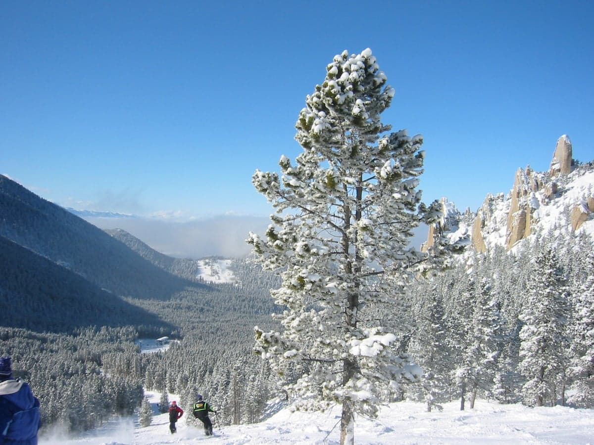
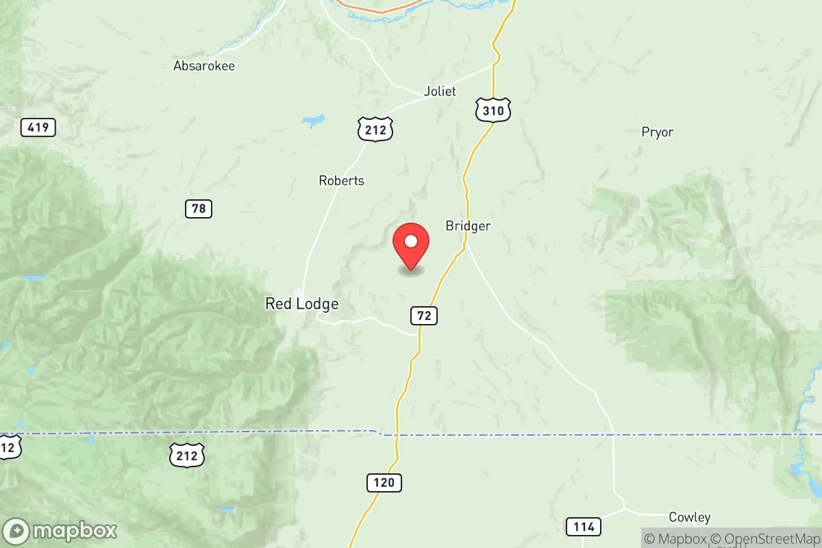
Carbon County sits in a geographically strategic pocket of southcentral Montana, bordered by the Custer Gallatin National Forest to the west and the Wyoming line to the south. The county seat, Red Lodge, lies at the foot of the Beartooth Highway, with the Absaroka-Beartooth Wilderness acting as a massive natural barrier to the west. This topography provides a significant buffer against overland threats: the area is flanked by rugged mountains on three sides, with only the north and east offering relatively open terrain toward Bridger and Fromberg. The Yellowstone River cuts through the northeastern corner near Laurel, but the county’s inhabited zones are concentrated around smaller drainages like Rock Creek and the Clarks Fork of the Yellowstone. This means that while the county is not a fortress, it is not a thoroughfare either; most traffic funnels through a handful of two-lane highways (US-212 through Red Lodge, MT-72 south from Bridger), making choke-point observation feasible without heavy infrastructure. The nearest city of any size is Billings, 60 miles north, which functions as a regional hub but also introduces a modest man-made risk profile—discussed below. For a relocator seeking a balance between remoteness and accessibility to medical care or supplies, Red Lodge (pop. ~2,400) offers basic services, with larger hospitals a 75-minute drive north.
Strategic risks: natural hazards and proximity to regional targets
No resilience assessment is honest without weighing exposure, and Carbon County carries genuine but manageable risks. Wildfire is the primary natural hazard, particularly in the forested western portion near Red Lodge and the Beartooth front. The 2021 Robertson Draw fire burned over 30,000 acres just south of Red Lodge, destroying more than 30 homes and forcing evacuations. Dry summers and beetle-killed timber keep this risk persistent. Flooding is secondary but recurring: the 2022 Yellowstone River flood caused significant damage in Red Lodge’s Rock Creek corridor, washing out sections of US-212 and affecting riverside properties. Seismic activity is negligible; the county sits far from major fault lines.
On the man-made side, Carbon County’s primary exposure is not direct but proximate. Billings, 60 miles north, hosts a major oil refinery (the Billings Refinery, owned by ExxonMobil and Phillips 66) and the Billings Logan International Airport, which handles both commercial and military air traffic. In a major conventional or EMP escalation, these are plausible secondary targets. Additionally, Malmstrom Air Force Base near Great Falls (~300 miles northwest) and the missile fields of central Montana are distant but within the fallout-plume radius of a worst-case ground burst. More immediately, the Burlington Northern Santa Fe rail line runs through the Yellowstone Valley from Billings toward Laurel, carrying volatile petroleum and chemical shipments; a derailment near Fromberg or Bridger could contaminate local water tables. The county’s agricultural economy—primarily cattle ranching and hay production—means that surface water contamination from an upstream incident is a credible concern. The practical takeaway: Carbon County is not in a “zero-risk” zone, but its rural nature and topography shield it from the worst-case exposure of, say, living near a military base or major port.
Practical resilience for a relocator: food, water, energy, and defensibility
For a self-reliant household, Carbon County’s natural resource base is its strongest asset. Surface water is abundant and accessible. The Rock Creek drainage near Red Lodge provides year-round flow, and the Clarks Fork of the Yellowstone offers reliable access for those south of Belfry. Groundwater quality varies—wells in the alluvial valleys are generally good, while higher-elevation wells may hit shallow bedrock—but a drilled well (costing $15,000–$25,000) is a standard feature for rural parcels. Irrigation ditches and spring boxes are common on older homesteads, and many properties hold pre-1914 water rights that are senior and enforceable. For food, the county’s short growing season (USDA zones 3–4 for most of the area) limits staple crops, but hay, pasture, and hardy vegetables like potatoes and root crops are viable. Local beef, lamb, and game (elk, mule deer, antelope) are plentiful; hunting tags are accessible to residents, and free-range cattle ranches operate across the county. Gardening requires season extension (hoop houses, cold frames) to be productive beyond July–August, but it is doable with effort and local seed stock.
Energy resilience is moderate. The grid in Carbon County is served by Southern Montana Electric, which relies on coal and natural gas generation; outages from winter storms or wildfire damage are not rare (the 2022 flood cut power to Red Lodge for over 24 hours). Solar potential is excellent—the area averages over 220 sunny days per year—and net metering is available through local cooperatives, though battery storage is recommended for true off-grid capability. Wood heat is a strong backup: the national forest allows personal firewood permits, and wood stoves are common in older homes. For defensibility, the county’s layout works in a relocator’s favor. The population is scattered across small towns (Bridger, Joliet, Fromberg, Belfry, Bearcreek) and rural subdivisions between them, meaning no concentrated target. Most homes sit on 5–20 acre parcels with visible approaches, and the mountainous terrain limits line-of-sight from main roads. Law enforcement coverage is thin—the Carbon County Sheriff’s Office handles a vast area with about 10 deputies on patrol at any given time—so community watch and neighbor trust matter more than official presence. A well-prepared household with cistern storage, a solar array, and a perimeter plan will be far more resilient here than in a suburban subdivision with shared well and grid ties.
The overall strategic picture for a relocator
Carbon County’s resilience comes down to a trade-off: you trade proximity to robust supply chains and emergency services for a lower probability of direct fallout or social collapse. For the reader thinking seriously about disaster readiness—whether from grid failure, economic disruption, or geopolitical escalation—this county offers a defensible notch with abundant water, good solar potential, and a culture of self-reliance that predates any current crisis. The risks are real: wildfire, occasional flood, and a modest exposure to the Billings industrial corridor, but these are manageable with site-specific preparation (fire-resistant construction, flood elevation, stored supplies). The bigger limitation is human capital; the aging population and limited job base outside agriculture, tourism, and remote work mean a relocator must bring either a portable income or a willingness to grind in the local economy. For a family willing to trade urban convenience for genuine buffering and a tight-knit community that prizes competence over credentials, Carbon County scores well. It is not a bunker—no place is—but it is a solid base for living a prepared, grounded life in the northern Rockies.

* Values derived from national, state, county, city and local statistics and may differ in a specific area. Last updated: 2026-06-29T01:40:08.000Z
Narrative content on this page is AI-generated and may contain mistakes. Verify any details that matter before acting on them.
ReloMaps may earn a commission from affiliate links at no extra cost to you.

