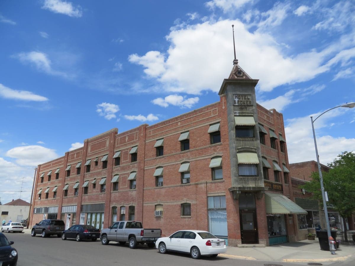
Photo: Wikipedia
Strategic Assessment of Big Horn County
Strong survivability profile. Good buffer from population centers, with manageable environmental and tactical risks.
What does the Strategic Assessment tell us?
Our Strategic Assessment grades tactical survivability of an area. Major population centers, military targets, fallout zones, natural disasters, and border exposure all drive risk — lower exposure means a more defensible position in a crisis.
This is heavily inspired by Joel Skousen's Strategic Relocation book. Highly recommended you checkout the book ($)What does this tell us?
Our Strategic Assessment grades tactical survivability of an area. Major population centers, military targets, fallout zones, natural disasters, and border exposure all drive risk — lower exposure means a more defensible position in a crisis.
This is heavily inspired by Joel Skousen's Strategic Relocation book. Highly recommended you checkout the book ($)Strategic Pillars

Key Distances
Strategic Assessment Analysis
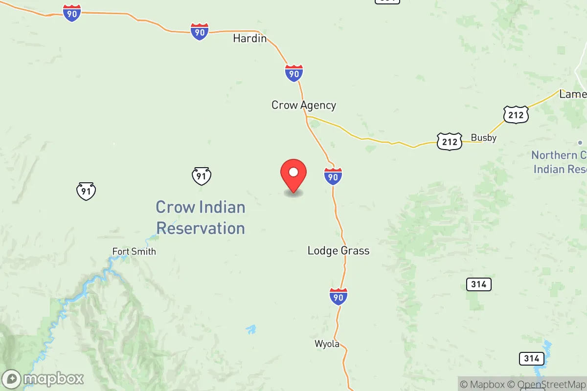
Big Horn County, Montana, offers a compelling strategic profile for relocators prioritizing resilience and self-sufficiency, combining vast, low-density geography with significant distance from major metropolitan targets. Situated in the south-central part of the state, the county's anchor communities—Hardin, the county seat, and Crow Agency—sit along the I-90 corridor, providing a practical transportation link without the congestion or proximity to high-value targets found closer to Billings. The county's location, roughly 50 miles east of Billings and over 200 miles from any major urban center like Denver or Salt Lake City, places it in a sweet spot: accessible enough for supply runs but remote enough to avoid the fallout and chaos that would likely follow a major disruption to critical infrastructure.
Geographic position and natural advantages for long-term stability
Big Horn County's geography is defined by the Bighorn River and the Yellowstone River valleys, which converge near the town of Hardin. This riverine network provides a reliable water source—a non-negotiable asset for any resilience-minded relocation. The county sits at the edge of the High Plains, with elevations ranging from 2,500 to 4,000 feet, offering a moderate climate with four distinct seasons and less wildfire risk than the heavily forested western part of the state. The Bighorn Canyon National Recreation Area to the south adds a buffer of protected land, limiting development and preserving natural corridors for wildlife and movement. For a relocator, the area's low population density—roughly 3 people per square mile—means fewer competition points for resources and greater personal security in a crisis scenario.
Risks, exposures, and proximity to fallout-relevant landmarks
While Big Horn County is far from the high-risk coastal zones and major metropolitan hubs, it is not without exposure. The Yellowstone River corridor presents a moderate flood risk, particularly in low-lying areas near Hardin and St. Xavier, though this is manageable with proper siting. The county's proximity to Billings (population ~110,000) introduces a secondary risk: Billings hosts a regional medical center, an oil refinery, and a major rail hub, making it a plausible secondary target or chokepoint in a national-level disruption. Additionally, the Crow Indian Reservation covers much of the county's southern half, meaning relocators must be aware of jurisdictional complexities and land ownership restrictions—most land is held in trust by the federal government and is not available for private purchase. The nearest military installation of note is Malmstrom Air Force Base near Great Falls, roughly 250 miles northwest, which is a potential nuclear target but far enough to avoid direct fallout effects on Big Horn County.
Practical resilience for a relocator: food, water, energy, and defensibility
For those serious about self-sufficiency, Big Horn County offers strong fundamentals. The Bighorn River and Yellowstone River provide abundant surface water, and groundwater is accessible via wells in most areas outside the floodplain. The county's agricultural base—primarily cattle ranching and dryland wheat farming—means local food production is viable, and the Hardin Farmers Market and regional co-ops offer a starting point for building local supply chains. Energy resilience is moderate: the county is served by rural electric cooperatives, and off-grid solar is feasible given the region's 200+ sunny days per year, though winter generation requires careful planning. Defensibility is a strong point—the open terrain offers long sightlines, and the low population density means fewer potential threats. However, the county's size (over 5,000 square miles) and sparse law enforcement presence (the Big Horn County Sheriff's Office covers a vast area with limited deputies) mean that personal security and community networks are essential. The town of Lodge Grass, south of Hardin, exemplifies the remote, tight-knit communities that can form the backbone of a resilient social structure.
Overall, Big Horn County presents a balanced strategic picture for the resilience-minded relocator. Its geographic isolation, reliable water sources, and agricultural capacity make it a strong candidate for those seeking to build a self-sufficient lifestyle away from high-risk zones. The primary trade-offs are the jurisdictional complexities of the reservation lands, the moderate flood risk along the rivers, and the need to personally manage security and energy independence. For a single individual or family willing to invest in land outside the reservation, develop off-grid infrastructure, and integrate into the existing ranching community, Big Horn County offers a defensible, resource-rich base with a low likelihood of being directly affected by national-level disruptions. The key is to act early, secure deeded land near water, and build relationships with neighbors before a crisis forces everyone to compete for the same resources.

* Values derived from national, state, county, city and local statistics and may differ in a specific area. Last updated: 2026-07-12T06:05:20.000Z
Narrative content on this page is AI-generated and may contain mistakes. Verify any details that matter before acting on them.
ReloMaps may earn a commission from affiliate links at no extra cost to you.

