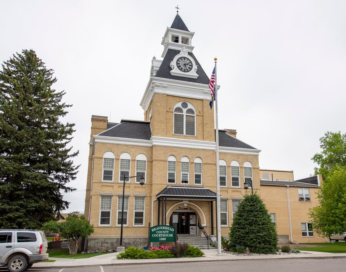
Photo: Wikipedia
Strategic Assessment of Beaverhead County
Deep buffer from population centers and strategic targets. Low natural disaster risk and minimal exposure to border or coastal threats.
What does the Strategic Assessment tell us?
Our Strategic Assessment grades tactical survivability of an area. Major population centers, military targets, fallout zones, natural disasters, and border exposure all drive risk — lower exposure means a more defensible position in a crisis.
This is heavily inspired by Joel Skousen's Strategic Relocation book. Highly recommended you checkout the book ($)What does this tell us?
Our Strategic Assessment grades tactical survivability of an area. Major population centers, military targets, fallout zones, natural disasters, and border exposure all drive risk — lower exposure means a more defensible position in a crisis.
This is heavily inspired by Joel Skousen's Strategic Relocation book. Highly recommended you checkout the book ($)Strategic Pillars

Key Distances
Strategic Assessment Analysis
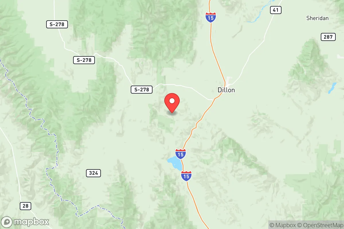
Beaverhead County, Montana, offers a compelling strategic position for relocation-minded individuals and families who prioritize resilience, self-sufficiency, and distance from major population centers. Anchored by the town of Dillon and stretching across the southwestern corner of the state, the county sits at a natural crossroads between the Big Hole Valley, the Ruby Valley, and the Tendoy Mountains, providing both defensible terrain and access to multiple resource corridors. Its low population density—roughly 2.5 people per square mile—combined with its location over 200 miles from the nearest major metropolitan area (Salt Lake City) and over 300 miles from the Montana Front Range cities of Billings and Great Falls, makes it one of the more strategically isolated counties in the contiguous United States.
Geographic position and natural advantages for self-sufficiency
Beaverhead County’s geography is its primary strategic asset. The county encompasses the headwaters of the Beaverhead River, a tributary of the Jefferson River, which feeds into the Missouri River system. This means reliable surface water is abundant, with the Big Hole River, Ruby River, and numerous creeks draining the surrounding mountain ranges. The area’s high elevation—Dillon sits at 5,100 feet—and semi-arid climate reduce the risk of flooding compared to lower-elevation valleys, while the surrounding mountains (the Bitterroot Range to the west, the Pioneer Mountains to the north, and the Centennial Mountains to the south) create natural barriers that slow movement and limit access from any direction. The county’s position along Interstate 15 provides a single, easily monitored transportation corridor, but the majority of the land is accessed via unpaved Forest Service roads, which are impassable to most vehicles during winter months. This combination of water availability, elevation, and limited road access gives the area a strong natural defensive posture without requiring significant infrastructure investment. The nearby Clark Canyon Reservoir, a 6,000-acre impoundment on the Beaverhead River, provides a strategic water reserve that can sustain a large population through drought conditions.
Risks, exposures, and proximity to fallout-relevant landmarks
Beaverhead County’s primary risk exposure comes from its proximity to two categories of potential man-made hazards: the Idaho National Laboratory (INL) site near Idaho Falls, roughly 120 miles to the southwest, and the Montana Rail Link mainline that runs through Dillon. The INL is a Department of Energy nuclear research facility with a history of radiological incidents, and while prevailing winds generally blow from the west, a significant release could affect the southern portion of the county within 12-24 hours. The rail line carries hazardous materials, including crude oil and chemicals, through the heart of Dillon, creating a localized risk of derailment or spill. Natural hazards are more predictable: the county sits in a seismically active zone, with the 1959 Hebgen Lake earthquake (magnitude 7.3) occurring just 60 miles away, and the Centennial Fault runs along the southern border. Wildfire risk is moderate, with the 2022 Moose Fire burning 130,000 acres in the adjacent Salmon-Challis National Forest, but the county’s low tree density in valley bottoms reduces the chance of catastrophic fire spread. Tornado risk is negligible, and the area is too far inland for hurricane or tsunami threats. The nearest military installation is the Montana Air National Guard’s 120th Airlift Wing in Great Falls, 250 miles away, and the nearest active-duty base is Malmstrom Air Force Base, also in Great Falls, which is a primary target in a conflict scenario. Beaverhead County’s distance from these targets—over 200 miles—places it well outside the likely blast and fallout zones for a nuclear strike on Malmstrom, though fallout from a strike on the INL could still be a concern depending on wind direction.
Practical resilience for a relocator: food, water, energy, and defensibility
For a relocator focused on practical self-sufficiency, Beaverhead County offers strong fundamentals with some notable limitations. Water is the strongest asset: the county has over 1,000 miles of perennial streams, and groundwater is accessible through shallow wells in most valley areas. The average annual precipitation is only 12 inches, but the snowpack in the surrounding mountains provides a reliable seasonal water source that can be stored in cisterns or ponds. Food production is viable but constrained by the short growing season (90-110 frost-free days) and alkaline soils. The county has a long agricultural tradition—cattle ranching dominates, with over 100,000 head of cattle—but row crops are limited to hay, barley, and some wheat. A relocator would need to rely on greenhouses or cold-hardy crops for year-round food production. Energy is a mixed picture: the county has no natural gas pipelines, and electricity comes from the regional grid via NorthWestern Energy, which is vulnerable to disruption from winter storms or cyberattacks. However, the area has excellent solar potential (over 300 sunny days per year) and good wind resources in the passes. The Beaverhead County Fairgrounds in Dillon could serve as a community resource hub, but individual homesteads would need to invest in off-grid solar or small wind turbines. Defensibility is high: the county’s low population density means that a relocator can find a property with clear lines of sight and limited neighbors. The terrain is open enough to allow for long-range observation but broken enough to provide cover. The nearest major hospital is in Butte, 70 miles north, which is a significant vulnerability for medical emergencies. The county has a small sheriff’s department (about 12 deputies) and no local police force outside of Dillon, so security is largely self-provided. The presence of the Beaverhead-Deerlodge National Forest, which covers 3.3 million acres, provides a vast buffer zone and potential foraging area, but also attracts recreational users who could become refugees in a crisis.
Overall, Beaverhead County presents a strong strategic picture for a relocator who values isolation, water security, and defensible terrain, but it requires significant preparation in food production and energy independence. The county’s distance from major targets like Malmstrom AFB and the INL reduces its exposure to man-made disasters, while its natural barriers and low population density make it one of the more resilient areas in the Intermountain West. The trade-off is a harsh climate, limited medical infrastructure, and a reliance on personal preparedness for most contingencies. For a family willing to invest in off-grid systems and cold-hardy agriculture, Beaverhead County offers a realistic foundation for long-term resilience without the extreme isolation of Alaska or the high cost of the Colorado Rockies. The key is to secure a property with a reliable water source, south-facing exposure for solar, and a defensible position away from the I-15 corridor, which would become a primary movement route in any regional disruption.

* Values derived from national, state, county, city and local statistics and may differ in a specific area. Last updated: 2026-06-22T06:02:32.000Z
Narrative content on this page is AI-generated and may contain mistakes. Verify any details that matter before acting on them.
ReloMaps may earn a commission from affiliate links at no extra cost to you.

