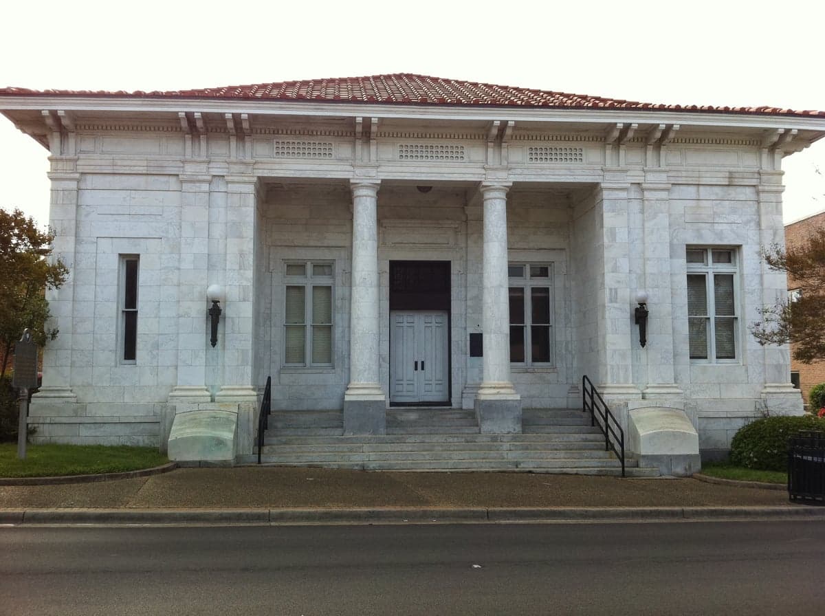
Photo: Wikipedia
Strategic Assessment of Forrest County
Workable tactical position. Some exposure to population density or targets, but generally defensible in a crisis.
What does the Strategic Assessment tell us?
Our Strategic Assessment grades tactical survivability of an area. Major population centers, military targets, fallout zones, natural disasters, and border exposure all drive risk — lower exposure means a more defensible position in a crisis.
This is heavily inspired by Joel Skousen's Strategic Relocation book. Highly recommended you checkout the book ($)What does this tell us?
Our Strategic Assessment grades tactical survivability of an area. Major population centers, military targets, fallout zones, natural disasters, and border exposure all drive risk — lower exposure means a more defensible position in a crisis.
This is heavily inspired by Joel Skousen's Strategic Relocation book. Highly recommended you checkout the book ($)Strategic Pillars

Key Distances
Strategic Assessment Analysis
Forrest County, Mississippi, presents a mixed strategic picture for relocators prioritizing disaster readiness and long-term self-sufficiency. Its position in the Pine Belt region offers a balance of rural seclusion and moderate infrastructure access, but the area also carries distinct vulnerabilities tied to its Gulf Coast proximity and industrial footprint. For a family or individual weighing resilience alongside daily practicality, Forrest County demands a clear-eyed assessment of both its natural advantages and its exposure to man-made and environmental risks.
Geographic position and natural advantages for preparedness
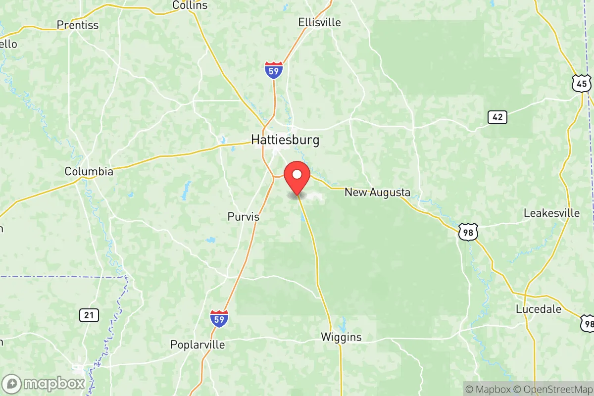
Forrest County sits roughly 70 miles north of the Gulf of Mexico, placing it outside the most immediate storm-surge zones while still subject to hurricane-force winds and inland flooding. The county seat, Hattiesburg, anchors the region with four major highways—I-59, US 49, US 98, and US 11—converging here. This hub provides evacuation routes north toward Jackson (80 miles) and east toward Mobile (90 miles), though these same roads can become choke points during large-scale events. The terrain is rolling pine woods and clay soils, with the Leaf and Bouie Rivers forming a notable floodplain through central Hattiesburg. For self-sufficiency, the county’s watershed is a genuine asset: the Pascagoula River Basin—one of the last free-flowing river systems in the Lower 48—runs nearby, offering reliable surface water and abundant groundwater in the underlying Citronelle aquifer. Private wells are feasible in the county’s rural towns like Petal, Lumberton (partially in Lamar County), and areas south of Hattiesburg near McLaurin. The region historically averages about 62 inches of rainfall annually, supporting year-round gardening and small-scale farming without irrigation infrastructure.
Natural risks, industrial exposure, and proximity to fallout-relevant landmarks
The most acute natural risk is tropical weather. Hurricanes and tropical storms track inland regularly; the county saw catastrophic flooding from the 2017 Easter Flood (a 500-year event) and more recently from Hurricane Zeta in 2020, which downed trees and knocked out power for days across Hattiesburg. Tornadoes are an annual concern—the county sits within the Dixie Alley corridor, where spring and fall twisters are common. The 2013 Hattiesburg EF4 tornado caused over $40 million in damage and killed one person. Flooding is the most persistent hazard: the Leaf River and Bouie River watersheds swell quickly after heavy rain, and FEMA-designated special flood hazard areas cover roughly 12% of the county, concentrated around Hattiesburg's downtown and low-lying neighborhoods like Oak Grove and parts of Petal. Man-made risks are moderate but worth noting. The county hosts two industrial parks—the Hattiesburg-Forrest County Industrial Park and the South Mississippi Regional Center—with chemical processors and manufacturing plants. Chevon Phillips’ Hattiesburg terminal handles propane and butane storage just northwest of the city. More significantly, Forrest County lies within 30 miles of Camp Shelby, a 130,000-acre Mississippi National Guard training base that conducts live-fire artillery, mortar, and demolition exercises. While not a nuclear weapons facility, Camp Shelby stores small arms and explosives, and its ordnance range poses a low but real fragmentation risk for residents within two miles of its boundary. The nearest nuclear power plant is Grand Gulf Nuclear Station (Port Gibson, MS), approximately 90 miles northwest—outside the typical 50-mile ingestion pathway zone but within plausible emergency planning distance for airborne releases.
Practical resilience for a relocator: food, water, energy, and defensibility
For someone building self-reliance, Forrest County offers above-average baseline conditions. Private well water is viable across most of the county outside the Hattiesburg city limits, with average well depths between 100 and 300 feet tapping the Miocene aquifer. The Mississippi Department of Health reports acceptable yields of 5–15 gallons per minute in the area. Surface water from the Leaf River is available but requires treatment year-round due to sediment and agricultural runoff upstream. For food production, the growing season stretches 240 days (mid-March to mid-November), suitable for warm-season crops like tomatoes, okra, cowpeas, and sweet potatoes. Small-scale livestock—chickens, goats, and even a hair sheep breed like Katahdin—are common in the county’s unincorporated areas. The Forrest County Cooperative Extension Service in Hattiesburg offers soil testing and agronomic guidance to landowners. Energy infrastructure is a mixed bag: Mississippi Power (a Southern Company subsidiary) serves the county with a grid that’s moderately reliable but prone to extended outages during hurricane season. Many rural residents already supplement with generator backup or basic solar setups—the region averages 215 sunny days per year, sufficient for 2–4 kW off-grid solar if coupled with battery storage. Natural gas is available through Mississippi Energy’s pipeline network in Hattiesburg and Petal, but rural properties often rely on propane tanks. Defensibility is good by Eastern Seaboard standards. The county’s terrain is dense pine forest with limited road networks outside the main corridors, making it harder to navigate for outsiders. Property values in the outlying areas around Rawls Springs, Carnes, and Brooklyn (unincorporated communities in northern Forrest County) offer acreage with natural tree-lines and ponds for under $150,000. The county sheriff’s office maintains a visible presence but response times in rural districts average 18–30 minutes, reinforcing the necessity of personal security measures.
The overall strategic picture for Forrest County is that of a solid but not exceptional relocation target for a disaster-minded audience. Its geographic position buffers against the worst Gulf storm surge while maintaining inland water security and agricultural viability. The presence of Camp Shelby and industrial storage sites introduces modest but manageable risks, and the floodplain is a genuine nuisance for anyone not careful about property selection. For a family willing to invest in a well, a solar array, and a defensible plot north of Hattiesburg, Forrest County offers reliable low-cost self-sufficiency in a region still affordable for middle-class budgets—the median home price in the county sits around $180,000 as of early 2026, roughly half of Jackson’s. But it’s not a bunker locale. The county lacks the remote isolation of the Appalachian highlands or the freshwater surplus of the Great Lakes region, and its exposure to annual hurricane threats means resilience is tested every summer. For a relocator seeking a balance between practical preparedness and Southern affordability, Forrest County is a defensible middle-ground—provided you avoid the floodplain, prepare for wind events, and accept that you’re still within striking distance of the Gulf Coast’s industrial and natural hazards.

* Values derived from national, state, county, city and local statistics and may differ in a specific area. Last updated: 2026-06-22T03:26:47.000Z
Narrative content on this page is AI-generated and may contain mistakes. Verify any details that matter before acting on them.
ReloMaps may earn a commission from affiliate links at no extra cost to you.

