Photo: Wikipedia
Strategic Assessment of Claiborne County
Strong survivability profile. Good buffer from population centers, with manageable environmental and tactical risks.
What does the Strategic Assessment tell us?
Our Strategic Assessment grades tactical survivability of an area. Major population centers, military targets, fallout zones, natural disasters, and border exposure all drive risk — lower exposure means a more defensible position in a crisis.
This is heavily inspired by Joel Skousen's Strategic Relocation book. Highly recommended you checkout the book ($)What does this tell us?
Our Strategic Assessment grades tactical survivability of an area. Major population centers, military targets, fallout zones, natural disasters, and border exposure all drive risk — lower exposure means a more defensible position in a crisis.
This is heavily inspired by Joel Skousen's Strategic Relocation book. Highly recommended you checkout the book ($)Strategic Pillars

Key Distances
Strategic Assessment Analysis
Claiborne County, Mississippi, offers a strategic paradox for the relocation-minded reader: it sits in the quiet, sparsely populated southwest of the state, yet its position along the Mississippi River places it within a corridor of significant industrial and military infrastructure. For a family or individual weighing resilience and self-sufficiency, the county’s low population density and agricultural capacity are genuine assets, but they come with a specific set of exposure risks tied to the very landmarks that anchor the local economy. The practical question is not whether Claiborne County is remote—it is—but whether its specific blend of isolation and industrial proximity aligns with your definition of strategic security.
Geographic position and natural advantages for long-term stability
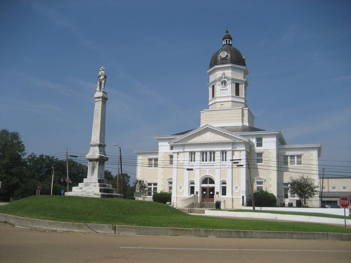
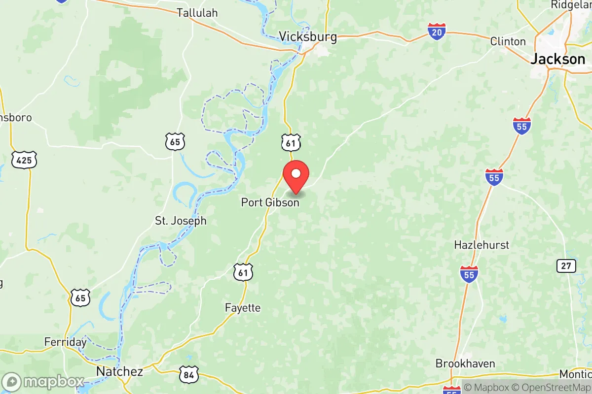
Claiborne County’s defining feature is its roughly 30-mile frontage on the Mississippi River, which shapes both its economy and its risk profile. The county seat, Port Gibson, sits atop the loess bluffs overlooking the river floodplain, a topographic advantage that provides natural elevation and defensibility—a rare combination in the flat Delta region to the north. The surrounding terrain is a mix of hardwood forest and rolling hills, offering natural cover, timber resources, and watershed diversity. The county’s population hovers around 9,000, with the majority concentrated in Port Gibson and the smaller communities of Hermanville and Pattison, meaning that outside these nodes, you are looking at genuinely rural living with significant buffer between neighbors.
The agricultural base is a quiet strength. Soybeans, corn, and timber dominate the working landscape, and the presence of the Mississippi Delta’s alluvial soils—even in the county’s more upland sections—supports small-scale farming and livestock operations. For a relocator focused on food security, this is not a hypothetical advantage: the county’s farm-to-market infrastructure is functional, and the region’s long growing season (roughly 230 frost-free days) allows for year-round production of staple crops. Water access is similarly favorable, with the Mississippi River as a massive surface water source, though its utility for drinking requires treatment. Groundwater from the Sparta Aquifer, which underlies the county, is the more practical daily source, and well-drilling is a common and affordable practice here.
Risks, exposures, and proximity to fallout-relevant landmarks
The strategic calculus changes when you map the county’s industrial and military neighbors. Claiborne County is not a fallout zone in itself, but it sits within a web of high-value targets that could complicate a regional crisis. The most immediate is the Grand Gulf Nuclear Station, located just south of Port Gibson along the river. This is a single-unit, 1,400-megawatt boiling water reactor—the largest single-unit nuclear plant in the country—and while its safety record is solid, its presence means that any major incident would place the county in the immediate downwind and downstream zone. The plant’s 10-mile emergency planning zone includes parts of Claiborne County, and residents should be aware of the state’s alert and evacuation protocols.
Beyond the reactor, the county’s river position places it within a broader industrial corridor. Roughly 40 miles south lies the Port of Vicksburg, a major inland port handling petrochemicals, aggregates, and agricultural products. The Vicksburg Bridge and the nearby I-20 corridor are critical chokepoints for regional logistics, making them plausible targets in a conflict scenario. To the north, the sprawling Vicksburg National Military Park is a historical site, but the surrounding area includes rail yards and fuel storage that are part of the region’s energy backbone. The nearest major military installation is Camp Shelby, a Mississippi National Guard training base located roughly 90 miles southeast near Hattiesburg—close enough that troop movements and supply convoys could pass through the region during a mobilization, but far enough that the county is not a primary staging area.
Natural risks are comparatively modest. The county’s bluff topography mitigates the worst of river flooding, though low-lying areas near the river and its tributaries—particularly around the community of Grand Gulf—are subject to seasonal inundation. Tornado risk is real but not exceptional for the Deep South; the county sits on the western fringe of the traditional Dixie Alley, and severe weather events typically occur in spring and fall. Heat and humidity are the more persistent challenges, with summer highs routinely exceeding 95°F and high dew points making outdoor work physically demanding. For a resilience-minded relocator, the practical takeaway is that the county’s risks are primarily man-made and regional, not natural and local.
Practical resilience for a relocator: food, water, energy, and defensibility
On the ground, Claiborne County offers a workable template for self-sufficiency, provided you come with a plan. Food security is the strongest pillar: the county’s agricultural character means that local farmers’ markets, roadside stands, and direct-from-producer sales are viable sources of fresh produce, eggs, and meat. The Mississippi State University Extension Service operates an office in Port Gibson, offering soil testing, livestock guidance, and canning/preservation workshops—a practical resource that many rural counties lack. For those willing to invest in land, the county’s average per-acre cost is well below the national median, and tracts with existing wells, septic systems, and fenced pasture are regularly available.
Water and energy require more deliberate planning. While the Sparta Aquifer provides reliable groundwater, well depth in the county typically ranges from 100 to 300 feet, and drilling costs run $15 to $30 per foot—a meaningful upfront investment. Surface water from the Mississippi River is abundant but requires filtration and treatment; a rainwater catchment system is a more practical supplementary source, given the county’s average annual rainfall of about 55 inches. On the energy side, the county is served by Entergy Mississippi, and grid reliability is average for rural Mississippi—meaning outages during storms are common but typically short. Solar is a viable option, with the region receiving roughly 5.2 peak sun hours per day, and the county’s zoning code imposes no significant restrictions on residential solar or backup generation. Propane is widely available through local suppliers, and wood heat is a realistic option given the county’s timber resources.
Defensibility is where Claiborne County’s geography shines. The bluffs above the river provide natural observation points, and the county’s road network—while limited—offers multiple egress routes: Highway 61 runs north-south through Port Gibson, connecting to Vicksburg and Natchez, while Highway 18 and Highway 552 provide east-west access toward the interior. The county’s low population density means that a prepared household with a well, a garden, and a reliable water source could effectively hold its position during a regional disruption. The trade-off is that the county is not a self-contained economy; it lacks a major hospital (the nearest full-service facility is in Vicksburg, roughly 30 minutes north), and its retail base is thin, meaning that pre-staging supplies and building local relationships are essential.
The overall strategic picture for Claiborne County is one of qualified opportunity. Its natural advantages—elevation, water access, agricultural capacity, and low density—make it a strong candidate for a resilience-focused relocation, particularly for those willing to invest in wells, solar, and food production. The counterweight is the county’s position within a regional industrial and military corridor, anchored by the Grand Gulf Nuclear Station and the Port of Vicksburg, which introduces a level of man-made risk that a more remote location might avoid. For a relocator who accepts that risk and plans accordingly, Claiborne County offers a defensible, productive base with room to breathe; for those seeking absolute isolation from infrastructure targets, the search should continue further inland. The county is not a bug-out location—it is a place to build a life, with the understanding that resilience is a practice, not a purchase.

* Values derived from national, state, county, city and local statistics and may differ in a specific area. Last updated: 2026-11-13T05:24:57.000Z
Narrative content on this page is AI-generated and may contain mistakes. Verify any details that matter before acting on them.
ReloMaps may earn a commission from affiliate links at no extra cost to you.

