Photo: Wikipedia
Strategic Assessment of Middletown, MD
Meaningful friction. Expect exposure to either population pressure, blast zones, or natural disaster risk. Consider buying a retreat property.
What does the Strategic Assessment tell us?
Our Strategic Assessment grades tactical survivability of an area. Major population centers, military targets, fallout zones, natural disasters, and border exposure all drive risk — lower exposure means a more defensible position in a crisis.
This is heavily inspired by Joel Skousen's Strategic Relocation book. Highly recommended you checkout the book ($)What does this tell us?
Our Strategic Assessment grades tactical survivability of an area. Major population centers, military targets, fallout zones, natural disasters, and border exposure all drive risk — lower exposure means a more defensible position in a crisis.
This is heavily inspired by Joel Skousen's Strategic Relocation book. Highly recommended you checkout the book ($)Strategic Pillars

Key Distances
Regional Safe Places
Below is our recommended "safe zones" in Maryland and the surrounding area based on our strategic heuristics. For most people, it's unrealistic to live in a “safe zone” full-time due to work, family or other personal reasons. They tend to be more rural. However, many of these areas are perfect for second homes and retreat properties that double as a vacation home or even a short-term rental.




Important Note: For informational purposes only. This does not mean nothing bad ever happens in the green zones. Please use common sense. This is based on public data and modeled with AI. We tried to take a conservative approach but mistakes happen. We update this regularly as new information becomes available.
Solar Generator Recommendations
Backup power matters more here than in safer locations. We've picked three solar generators across budgets and capacity tiers — start with the budget unit if you only need a few essentials, or step up if you want to run a fridge and HVAC for days at a time.

Jackery Portable Power Station Explorer 300
Budget OptionPower on the Go: Weighing only 11 lbs, it's convenient to set up and store with book-sized foldable solar panels

BLUETTI Portable Power Station AC180
Designed for both indoor and outdoor scenarios, AC180 is highly capable as it has a robost capacity and continuous output power.

EF ECOFLOW DELTA Pro Ultra Power Station
Upgraded PickEcoFlow DELTA Pro Ultra is a whole-home energy system designed to grow with your family. Integrated with the Smart Home Panel 2, it scales to meet your evolving energy needs — keeping your home powered, intelligent, and secure through every stage of life.
We earn a commission, at no additional cost to you.
Strategic Assessment Analysis
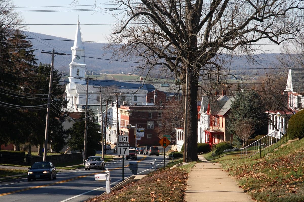
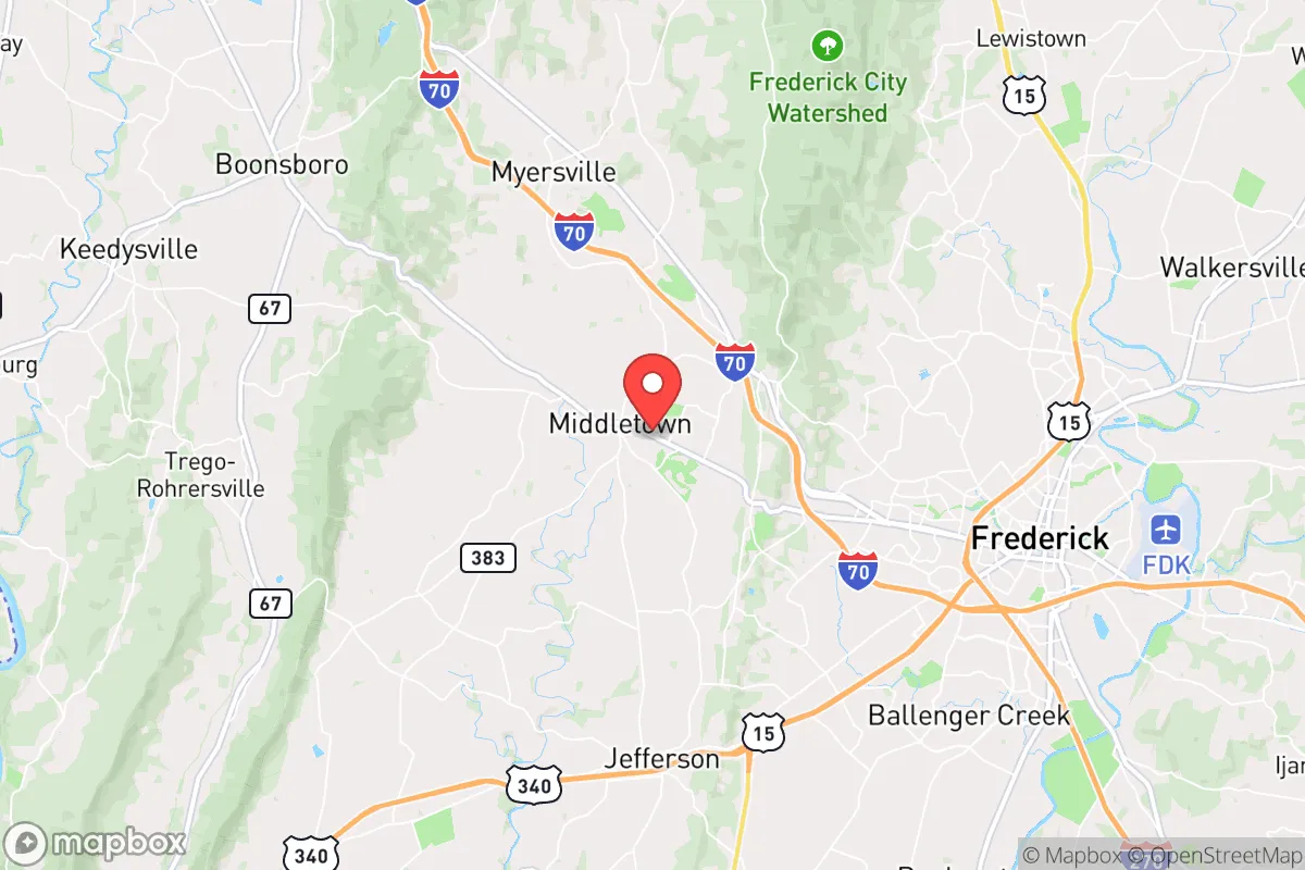
Middletown, Maryland, offers a compelling strategic position for the relocation-minded reader focused on resilience and self-sufficiency, blending small-town character with proximity to critical infrastructure. Located in Frederick County, roughly 10 miles south of the city of Frederick and about 60 miles northwest of Washington, D.C., the town sits at the edge of the Piedmont region where the land begins to rise toward the Blue Ridge Mountains. This placement provides a meaningful buffer from the dense urban core of the National Capital Region while still allowing access to its economic and logistical resources. For the preparedness-minded individual, Middletown’s location is a study in trade-offs: close enough to benefit from regional supply chains and medical facilities, yet far enough to avoid the worst of a metropolitan collapse scenario.
Geographic position and natural defensive advantages
Middletown’s geography is defined by its position in the Middletown Valley, a fertile corridor between South Mountain to the west and the Catoctin Mountains to the east. This valley setting offers several natural advantages for resilience. The surrounding ridges provide a degree of topographic shielding from electromagnetic pulse (EMP) effects and over-the-horizon radar surveillance, though not complete protection. The area’s elevation, roughly 500 to 600 feet above sea level, places it above the flood-prone zones of the Potomac River and its tributaries, reducing risk from catastrophic flooding that affects lower-lying communities along the Potomac and Monocacy River basins. The valley’s soils are well-drained and historically productive for agriculture, with numerous small farms and orchards still operating in the vicinity. This agricultural base is a tangible asset for local food security, as the region supports livestock, grain, and vegetable production. The nearby South Mountain State Park and Frederick Municipal Forest offer extensive wooded terrain for foraging, hunting, and timber resources, though these public lands are subject to access restrictions during emergencies. The Catoctin Mountain range also provides a natural barrier that slows movement from the east, offering a modest defensive buffer against any ground-based disruption originating from the Baltimore-Washington corridor.
Risk exposure and proximity to fallout-relevant landmarks
The most significant strategic liability for Middletown is its proximity to high-value targets in the Washington, D.C., area and the broader National Capital Region. The town lies roughly 50 miles from the Pentagon, the White House, and other federal command-and-control nodes, placing it within the moderate fallout zone for a ground-level nuclear detonation in D.C. under prevailing westerly winds. Additionally, the nearby Fort Detrick in Frederick, a U.S. Army biodefense research laboratory, is a potential target for both conventional and unconventional attacks. Middletown is approximately 10 miles south of this installation, close enough to be affected by a direct strike or secondary hazards. The town also sits within 30 miles of the Point of Rocks rail bridge and the I-270 technology corridor, both critical infrastructure links that could be targeted in a conflict scenario. Natural disaster risks are comparatively lower but not negligible. The area experiences occasional severe thunderstorms, derechos, and winter ice storms that can knock out power for days. Tornado risk is moderate; Frederick County has seen several EF-1 and EF-2 tornadoes in the past decade. Wildfire risk is low in the valley itself but elevated in the forested mountain areas to the west, particularly during drought years. Earthquake risk is minimal, as the region is far from active fault lines. Overall, the man-made risk profile is the primary concern for a relocator, driven by the town’s unavoidable proximity to the nation’s political and military center.
Practical resilience for a relocator: food, water, energy, and defensibility
For the individual or family serious about self-sufficiency, Middletown offers a mixed but workable practical resilience picture. Water availability is generally good: the town draws from groundwater wells and the Potomac River via the Frederick County water system, but private wells are common on rural properties outside the town limits. A relocator should prioritize a property with a tested well and backup hand-pump or solar-powered pump, as municipal supply could be disrupted in a prolonged grid-down scenario. The area’s annual rainfall of about 40 inches supports rainwater catchment systems, and the numerous small streams in the valley provide supplementary surface water, though treatment would be necessary. Food resilience is above average for the region. The Middletown Valley is home to several working farms, farmers’ markets, and community-supported agriculture (CSA) operations. The nearby town of Myersville hosts a weekly market, and Frederick’s larger agricultural scene is a 15-minute drive. For long-term storage, the moderate climate allows for root cellaring and cool storage for much of the year. Hunting is permitted in state forests and wildlife management areas, with white-tailed deer and wild turkey being the primary game species. Energy resilience requires deliberate investment. The local grid is served by Potomac Edison, and outages during storms are not uncommon. Solar potential is moderate; the area receives about 4.5 peak sun hours per day, sufficient for a grid-tied system with battery backup, but tree cover in the valley can limit rooftop production. Propane and wood are the most common backup heating fuels, with firewood readily available from local woodlots. Defensibility is a nuanced factor. Middletown itself is a compact town of roughly 4,500 residents, with a walkable historic core and limited entry points from the main roads—MD 17 and MD 355. Rural properties in the surrounding valley offer better standoff distance and natural cover from the ridges, but the area’s proximity to major evacuation routes (I-70 and US 340) means that any crisis in the D.C. area could produce significant refugee traffic through the town. A property set back from these corridors, with a good view of approach routes, would be ideal for a security-conscious relocator.
The overall strategic picture for Middletown is one of calculated compromise. It offers genuine advantages in agricultural access, water availability, and topographic shielding that many closer-in suburbs lack, and its distance from the immediate blast zones of D.C. gives a survivability edge over locations inside the Beltway. However, the town’s position within the moderate fallout radius of a major strike on the capital, combined with its location along likely evacuation routes, means that a relocator must plan for both short-term sheltering and potential long-term isolation. For the family that values a quiet, rural-adjacent lifestyle with strong community ties and is willing to invest in off-grid infrastructure, Middletown represents a defensible middle ground. It is not a remote retreat, but it is a far more resilient choice than any location inside the I-495 loop or along the I-95 corridor. The key is to treat it as a base that requires active preparation rather than a passive safe haven.

* Values derived from national, state, county, city and local statistics and may differ in a specific area. Last updated: 2026-07-21T20:02:34.000Z
Narrative content on this page is AI-generated and may contain mistakes. Verify any details that matter before acting on them.
ReloMaps may earn a commission from affiliate links at no extra cost to you.

