
Photo: Wikipedia
Strategic Assessment of Macomb County
Multiple tactical vulnerabilities. Population density, target proximity, or disaster risk are likely compounding. A retreat property and exit planning is required.
What does the Strategic Assessment tell us?
Our Strategic Assessment grades tactical survivability of an area. Major population centers, military targets, fallout zones, natural disasters, and border exposure all drive risk — lower exposure means a more defensible position in a crisis.
This is heavily inspired by Joel Skousen's Strategic Relocation book. Highly recommended you checkout the book ($)What does this tell us?
Our Strategic Assessment grades tactical survivability of an area. Major population centers, military targets, fallout zones, natural disasters, and border exposure all drive risk — lower exposure means a more defensible position in a crisis.
This is heavily inspired by Joel Skousen's Strategic Relocation book. Highly recommended you checkout the book ($)Strategic Pillars

Key Distances
Strategic Assessment Analysis
Macomb County offers a compelling mix of strategic depth and practical resilience for the relocation-minded reader, balancing proximity to the Great Lakes' freshwater wealth with a position that is close enough to Detroit for economic opportunity yet far enough to avoid the worst of a major urban collapse. Its location along the Lake St. Clair shoreline and the St. Clair River provides a natural buffer and a critical water asset, while the county's industrial backbone—anchored by the Selfridge Air National Guard Base in Harrison Township and the St. Clair River refinery corridor—gives it both economic heft and a distinct set of exposure risks. For a family or individual thinking seriously about disaster readiness, Macomb County is not a remote bunker, but it is a defensible, resource-rich zone with real advantages if you know where to look.
Geographic position and natural advantages for long-term stability
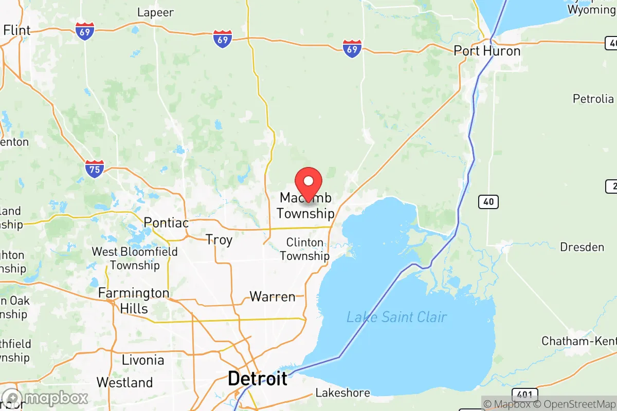
Macomb County sits at the northeastern edge of the Detroit metro area, with its eastern flank defined by the St. Clair River and Lake St. Clair. This is not just scenic—it is a strategic water asset. The county has direct access to the Great Lakes Water Authority system, but more importantly, many residents in communities like New Baltimore and St. Clair Shores can draw from private wells or the lake itself, a significant advantage if municipal water systems fail. The terrain is mostly flat and agricultural in the northern half—around Richmond and Armada—offering room for gardening, small livestock, and rainwater catchment. The county's position also places it within a two-hour drive of Fort Custer Training Center near Battle Creek and Camp Grayling to the north, both of which are military installations that could serve as logistical hubs or safe zones in a prolonged crisis. The climate is temperate, with four distinct seasons, meaning no hurricane risk, low wildfire danger, and only occasional tornadoes—typically EF-0 or EF-1. The biggest natural threat is lake-effect snow, which can dump two feet in a day, but that is a logistical nuisance, not a collapse event.
Risks, exposures, and proximity to fallout-relevant landmarks
The county's industrial and military assets are a double-edged sword. Selfridge Air National Guard Base is a major installation housing A-10 and KC-135 aircraft, plus a Navy and Marine Corps reserve detachment. In a conflict or national emergency, it is a likely target for sabotage or aerial attack, and its presence means the surrounding areas—Harrison Township, Mount Clemens, and Chesterfield Township—could face evacuation or contamination zones. The St. Clair River corridor is lined with oil refineries and chemical plants, including the Marathon Petroleum refinery in nearby Detroit and the St. Clair Refinery in St. Clair County just north. A major industrial accident or deliberate strike on these facilities could release toxic plumes that drift over eastern Macomb County. Additionally, the county's proximity to Detroit—just 20 miles from downtown—means that any urban unrest, infrastructure collapse, or disease outbreak in the city will ripple outward. The I-94 and I-696 corridors are choke points that could become impassable during an evacuation. For the preparedness-minded, the southern and eastern townships (St. Clair Shores, Eastpointe, Roseville) are too close to the urban core and the industrial riverfront; the northern and western townships (Washington, Ray, Bruce) offer more buffer.
Practical resilience for a relocator: food, water, energy, and defensibility
Macomb County's practical resilience is mixed but workable. Water is the strongest asset: the St. Clair River and Lake St. Clair provide an essentially unlimited supply, though it requires treatment. Many homes in the northern townships already have private wells, and the county's groundwater is generally clean and shallow. Food is a moderate strength. The northern half of the county is still agricultural, with working farms in Armada and Richmond that produce corn, soybeans, and dairy. Farmers' markets are common, and the Macomb County Farm Bureau is active. For a family willing to garden or raise chickens, the soil is good and the growing season runs April through October. Energy is a vulnerability. The grid is old and prone to outages during storms, and the county relies on the Detroit Edison system, which is centralized and vulnerable to cyberattack. Solar is viable—the county gets about 180 sunny days per year—but battery storage is essential. Natural gas is widely available, but pipelines are a single-point-of-failure risk. Defensibility is the weakest link. The county is flat and crisscrossed by major highways, making it hard to secure a perimeter. However, the northern townships (Washington, Bruce, Ray) have larger lots, wooded areas, and fewer entry points. A homestead on a dead-end road with a well, a wood stove, and a root cellar is a realistic goal here. The Macomb County Sheriff's Office is well-funded and professional, but in a prolonged crisis, rural areas will be on their own.
Overall, Macomb County is a solid B-tier relocation choice for the strategic-minded reader. It offers genuine freshwater security, a moderate climate, and enough agricultural land to support a semi-self-sufficient lifestyle. The risks are real—industrial targets, proximity to Detroit, and a flat, indefensible terrain—but they are manageable with proper planning. The key is to avoid the southern and eastern edges and focus on the northern townships, where lot sizes are larger, wells are common, and the noise of the city fades into farmland. For a family that wants to stay within striking distance of Great Lakes shipping, military logistics, and medical infrastructure, while still having a realistic shot at riding out a regional disruption, Macomb County is worth a hard look. It is not a survivalist paradise, but it is a place where a prepared household can endure.

* Values derived from national, state, county, city and local statistics and may differ in a specific area. Last updated: 2026-06-16T09:31:32.000Z
Narrative content on this page is AI-generated and may contain mistakes. Verify any details that matter before acting on them.
ReloMaps may earn a commission from affiliate links at no extra cost to you.

