Photo: Wikipedia
Strategic Assessment of Houghton County
Strong survivability profile. Good buffer from population centers, with manageable environmental and tactical risks.
What does the Strategic Assessment tell us?
Our Strategic Assessment grades tactical survivability of an area. Major population centers, military targets, fallout zones, natural disasters, and border exposure all drive risk — lower exposure means a more defensible position in a crisis.
This is heavily inspired by Joel Skousen's Strategic Relocation book. Highly recommended you checkout the book ($)What does this tell us?
Our Strategic Assessment grades tactical survivability of an area. Major population centers, military targets, fallout zones, natural disasters, and border exposure all drive risk — lower exposure means a more defensible position in a crisis.
This is heavily inspired by Joel Skousen's Strategic Relocation book. Highly recommended you checkout the book ($)Strategic Pillars

Key Distances
Strategic Assessment Analysis
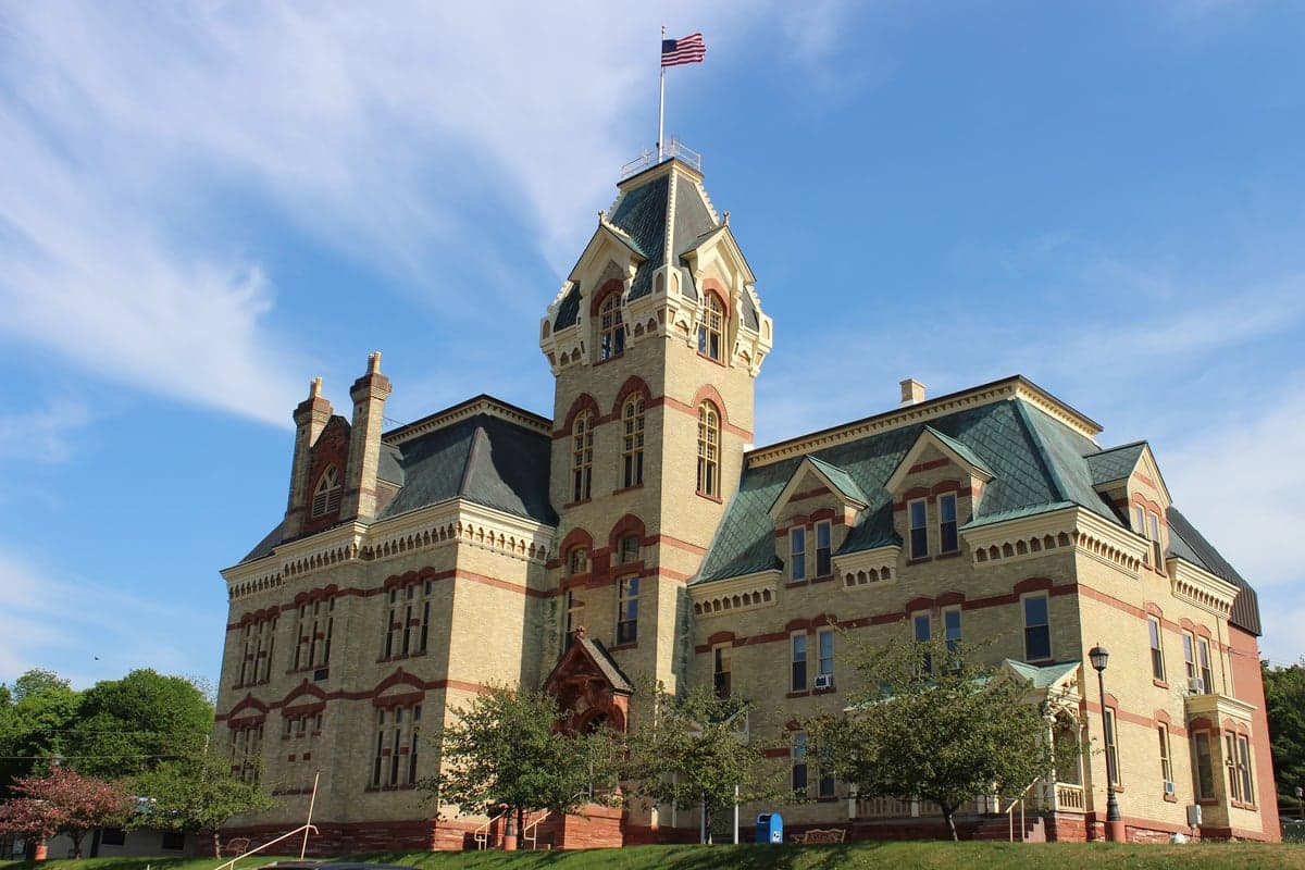
Houghton County, Michigan, offers a distinctive strategic profile for relocators prioritizing resilience, self-sufficiency, and distance from major metropolitan vulnerabilities. Situated in the heart of the Upper Peninsula (U.P.), the county combines a robust historical economic base—anchored by Michigan Technological University in Houghton and the regional medical hub of Hancock—with a geography that naturally buffers against many of the risks associated with densely populated corridors. For a conservative-leaning audience evaluating long-term preparedness, the area presents a compelling mix of natural advantages and practical challenges that merit a grounded, unsentimental assessment.
Geographic position and natural advantages for long-term security
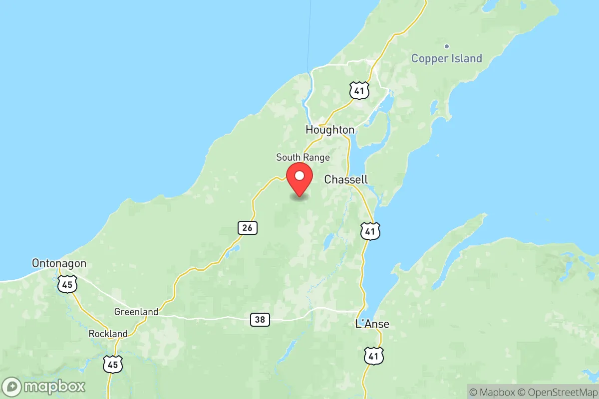
Houghton County's location on the Keweenaw Peninsula, jutting into Lake Superior, provides a significant natural buffer. The county is roughly 400 miles north of Chicago and over 500 miles from the Detroit-Windsor industrial corridor, placing it well outside the primary fallout and disruption zones of major population centers. The nearest city of notable size, Marquette, is about 100 miles to the east, while Green Bay, Wisconsin, lies roughly 150 miles south. This isolation is a double-edged sword but a clear asset for those seeking to avoid the cascading failures of urban infrastructure. The county's interior is defined by rugged, forested terrain—the remnants of ancient copper ranges—which offers natural defensibility and limits the sprawl that characterizes flatter regions. The Portage Lake Waterway, which splits the twin cities of Houghton and Hancock, provides a navigable inland water route connected to Lake Superior, offering a potential alternative transportation and resource corridor. The region's cold climate and deep winter snowpack, while demanding, also serve as a natural deterrent to large-scale population influx and reduce the viability of many biological and agricultural threats that flourish in warmer zones.
Risks, exposures, and proximity to fallout-relevant landmarks
While Houghton County is distant from the primary targets of a major conflict, it is not without its own risk profile. The most significant man-made exposure is the Presque Isle Power Plant in Marquette, a coal-fired facility roughly 100 miles east, and the Escanaba paper mill complex about 150 miles southeast. Neither is a high-value strategic target on the scale of a major refinery or military base, but they represent industrial assets that could be secondary targets. The county itself hosts no major military installations, refineries, or nuclear power plants. The closest nuclear facility is the Palisades Nuclear Plant near South Haven, Michigan, over 300 miles south—well outside any plausible fallout zone from a direct strike. However, the county's reliance on a single major highway—US-41—for north-south access is a vulnerability. A blockage at the Portage Lake Lift Bridge in Houghton, the only direct road connection between the twin cities, would severely hamper movement. Natural risks are dominated by severe lake-effect snow, which can drop over 200 inches annually, and the potential for prolonged power outages during winter storms. The region is seismically stable, with no significant earthquake or tsunami risk. Flooding is localized to low-lying areas near Portage Lake and the Sturgeon River, but is generally manageable. For a relocator, the primary man-made risk is not a direct strike but the secondary effects of a national crisis—supply chain disruption, economic collapse, or refugee movement from southern cities—which would still reach the U.P., albeit delayed and attenuated.
Practical resilience for a relocator: food, water, energy, and defensibility
Houghton County's practical resilience is a mixed picture that requires honest assessment. Water abundance is a clear strength: the county is surrounded by the largest freshwater lake system in the world, and groundwater is plentiful. Most residents rely on municipal water from Lake Superior or private wells, both of which are resilient if properly maintained. Food self-sufficiency is limited by the short growing season (roughly 90-100 frost-free days) and poor, rocky soils. Local agriculture is minimal; the county produces a fraction of its own food, with most supplies trucked in from southern Michigan and Wisconsin. A relocator would need to invest in season extension techniques—greenhouses, cold frames, root cellaring—and develop relationships with the few local farms near Chassell and Dollar Bay. Energy resilience is moderate. The region is connected to the regional grid, but the harsh winter climate makes heating a critical concern. Wood heat is common and practical, given the abundant forests, and many rural properties have backup generators. Solar is viable but less effective in deep winter due to low sun angle and snow cover. The county's defensibility is high due to its geography: the Keweenaw Peninsula is a natural cul-de-sac, with only a few roads in and out. The dense forest and rugged terrain provide cover and make large-scale movement difficult. However, this same geography means that a determined group could effectively block access. For a family or small group, the area offers excellent potential for a low-profile, self-reliant lifestyle, provided they are prepared for the logistical realities of remote living.
The overall strategic picture for Houghton County is one of high isolation and moderate inherent resilience, tempered by significant practical challenges. It is not a prepper's paradise—the climate and soil limit food production, and the remote location complicates supply chains. But for a relocator who values distance from urban targets, abundant fresh water, and a community with a strong independent streak (the U.P. has a distinct culture of self-reliance), it is a defensible choice. The presence of Michigan Tech ensures a baseline of technical skills and medical infrastructure in the region, while the twin cities of Houghton and Hancock provide a functional small-city core with hospitals, hardware stores, and supply depots. The key trade-off is between security from man-made disasters and the daily demands of a harsh northern environment. For those willing to invest in winter preparedness, wood heat, and food storage, Houghton County offers a realistic, grounded option for long-term resilience without the alarmist overtones of more extreme relocation destinations.

* Values derived from national, state, county, city and local statistics and may differ in a specific area. Last updated: 2026-07-08T14:42:37.000Z
Narrative content on this page is AI-generated and may contain mistakes. Verify any details that matter before acting on them.
ReloMaps may earn a commission from affiliate links at no extra cost to you.

