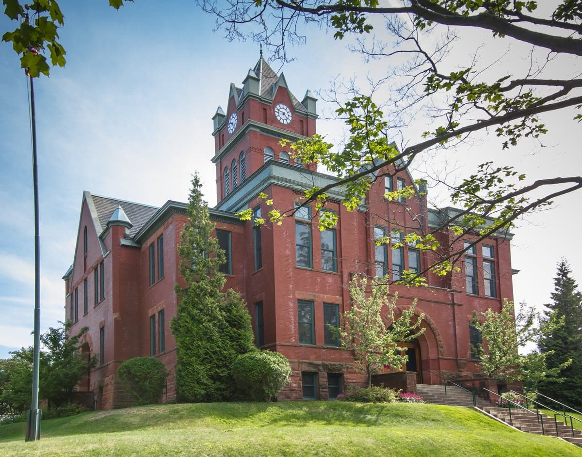
Photo: Wikipedia
Strategic Assessment of Grand Traverse County
Workable tactical position. Some exposure to population density or targets, but generally defensible in a crisis.
What does the Strategic Assessment tell us?
Our Strategic Assessment grades tactical survivability of an area. Major population centers, military targets, fallout zones, natural disasters, and border exposure all drive risk — lower exposure means a more defensible position in a crisis.
This is heavily inspired by Joel Skousen's Strategic Relocation book. Highly recommended you checkout the book ($)What does this tell us?
Our Strategic Assessment grades tactical survivability of an area. Major population centers, military targets, fallout zones, natural disasters, and border exposure all drive risk — lower exposure means a more defensible position in a crisis.
This is heavily inspired by Joel Skousen's Strategic Relocation book. Highly recommended you checkout the book ($)Strategic Pillars

Key Distances
Strategic Assessment Analysis
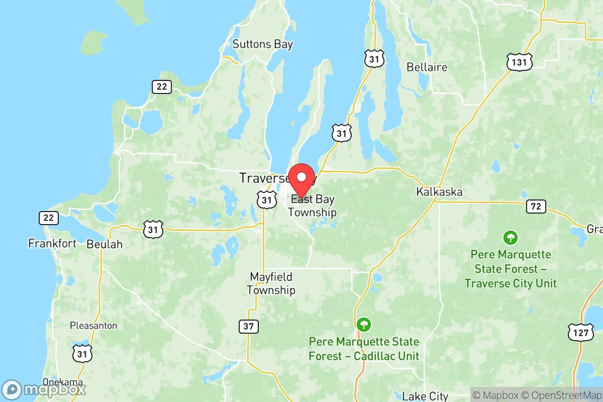
Grand Traverse County offers a compelling mix of geographic isolation and practical self-sufficiency that appeals to relocation-minded readers prioritizing resilience. Anchored by the city of Traverse City and surrounded by the Lake Michigan shoreline, the county sits roughly 150 miles north of Grand Rapids and 250 miles northwest of Detroit—far enough from major urban centers to avoid their immediate fallout risks, yet close enough to access critical supply chains when needed. The area’s strategic value lies in its position within the Northern Michigan region, where freshwater resources, arable land, and a low population density (roughly 95,000 residents across 600 square miles) create a buffer against the cascading disruptions that plague densely populated corridors.
Geographic position and natural advantages for long-term stability
Grand Traverse County sits on the Grand Traverse Bay, a deep-water arm of Lake Michigan that provides both a natural defensive barrier and a reliable freshwater source. The county’s terrain is a mix of rolling hills, hardwood forests, and fertile valleys—particularly the Boardman River Valley and the Old Mission Peninsula—which support local agriculture and reduce dependence on external food supplies. The region’s USDA Hardiness Zone 5b-6a climate allows for a growing season of roughly 120-140 days, suitable for apples, cherries, and cold-hardy vegetables. The Sleeping Bear Dunes National Lakeshore to the west and the Manistee National Forest to the south provide additional buffer zones of undeveloped land, limiting urban sprawl and preserving natural resources. For a relocator, the key advantage is water security: the county sits atop the Michigan Basin aquifer, and surface water from Lake Michigan and inland lakes like Long Lake and Silver Lake is abundant, with annual precipitation averaging 32 inches. This combination of freshwater access, arable land, and low population density makes Grand Traverse County one of the more naturally resilient areas in the Midwest for long-term habitation.
Risks, exposures, and proximity to fallout-relevant landmarks
While Grand Traverse County avoids the worst of man-made risks, it is not immune to specific vulnerabilities. The county’s primary industrial exposure is the Kalkaska-Elk Rapids corridor, roughly 20 miles east, where natural gas processing plants and a Kalkaska gas storage facility operate—these are moderate targets but not high-value compared to refineries in Detroit or Toledo. The Traverse City Cherry Capital Airport (TVC) is a small regional hub with a single runway, unlikely to be a primary military target, but its proximity to the Coast Guard Air Station Traverse City—a search-and-rescue base—could draw secondary attention in a conflict scenario. More concerning is the county’s position relative to Mackinac City and the Mackinac Bridge, 90 miles north, which is a critical chokepoint for Great Lakes shipping and a potential target for disruption. The Palisades Nuclear Plant in nearby Van Buren County (120 miles southwest) is a decommissioned facility, but its spent fuel storage remains a low-level hazard. Natural risks include lake-effect snow (averaging 120 inches annually in the higher elevations), which can isolate rural areas for days, and a moderate seismic risk from the Midcontinent Rift—though earthquakes above magnitude 4.0 are rare. The county’s distance from major military installations like Camp Grayling (60 miles east) and Selfridge Air National Guard Base (200 miles southeast) reduces its strategic value as a target, but the Traverse City region is a known staging area for National Guard exercises, which could complicate movement during a crisis. Overall, the risk profile is low compared to coastal or industrial zones, but relocators should plan for winter isolation and potential supply chain disruptions from regional infrastructure failures.
Practical resilience for a relocator: food, water, energy, and defensibility
Grand Traverse County’s practical resilience is strong, particularly for those willing to invest in self-sufficiency. Food security is bolstered by a robust local agricultural network: the county is the heart of Michigan’s cherry industry, with over 2 million cherry trees, and supports a growing number of small farms, orchards, and community-supported agriculture (CSA) programs. The Traverse City Farmers Market operates year-round, and the Northwest Michigan Food Hub coordinates distribution of local produce, meat, and dairy. For hunting and foraging, the Grand Traverse State Forest and Boardman River Natural Area offer deer, turkey, and edible mushrooms. Water security is excellent: the county’s groundwater is generally clean and shallow (well depths average 50-150 feet), and surface water from Lake Michigan and inland lakes is accessible with proper treatment. The Grand Traverse County Water Department serves urban areas, but rural properties often rely on private wells, which are less vulnerable to grid failure. Energy resilience is mixed: the grid is served by Consumers Energy and Cherryland Electric Cooperative, with a mix of natural gas, coal, and renewables. The Grand Traverse County Renewable Energy Plan has expanded solar capacity, but the region’s cloudy winters limit solar reliability. Wood heating is common, with ample firewood from local forests. Defensibility is a key advantage: the county’s geography—bounded by Lake Michigan to the west, the Leelanau Peninsula to the north, and the Manistee National Forest to the south—creates natural chokepoints. The M-22 and M-72 highways are the primary routes, and rural areas like Kingsley and Fife Lake offer defensible terrain with limited access points. The county’s sheriff’s office and local emergency management are well-regarded, with a focus on winter storm response and community preparedness. For a relocator, the practical takeaway is that Grand Traverse County offers a high baseline of self-sufficiency, but success depends on securing a property with a well, wood heat, and a defensible layout—preferably in the eastern or southern townships away from the tourist-heavy coastal zones.
The overall strategic picture for Grand Traverse County is one of moderate-to-high resilience with manageable trade-offs. Its geographic isolation, abundant freshwater, and agricultural capacity make it a strong candidate for relocation-minded individuals and families seeking a buffer from urban collapse or industrial fallout. The primary drawbacks—winter isolation, moderate energy grid vulnerability, and proximity to regional infrastructure chokepoints like the Mackinac Bridge—are offset by the county’s low population density, strong local food systems, and natural defensibility. For a reader prioritizing disaster readiness and self-sufficiency, Grand Traverse County ranks favorably among Midwest options, particularly when compared to more exposed areas like the Detroit-Windsor corridor or the Lake Michigan shoreline south of Muskegon. The key is to choose a location within the county that maximizes these advantages: a rural property with a well, wood heat, and access to local food networks, ideally in the Paradise Township or Blair Township areas, where the balance of isolation and community support is strongest. Grand Traverse County is not a fortress, but it is a solid, defensible base for those willing to prepare.

* Values derived from national, state, county, city and local statistics and may differ in a specific area. Last updated: 2026-11-03T18:29:31.000Z
Narrative content on this page is AI-generated and may contain mistakes. Verify any details that matter before acting on them.
ReloMaps may earn a commission from affiliate links at no extra cost to you.

