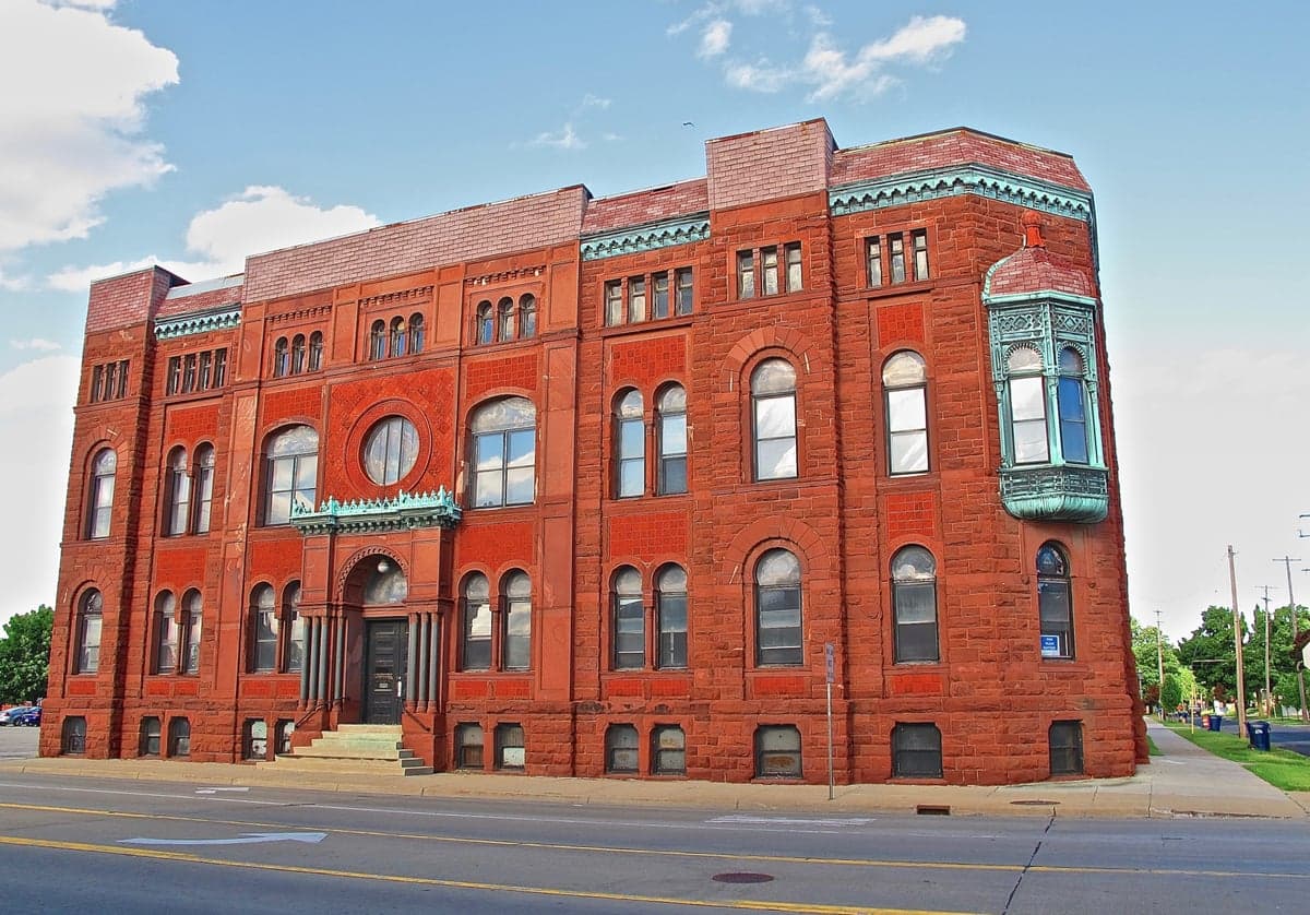
Photo: Wikipedia
Strategic Assessment of Bay County
Meaningful friction. Expect exposure to either population pressure, blast zones, or natural disaster risk. Consider buying a retreat property.
What does the Strategic Assessment tell us?
Our Strategic Assessment grades tactical survivability of an area. Major population centers, military targets, fallout zones, natural disasters, and border exposure all drive risk — lower exposure means a more defensible position in a crisis.
This is heavily inspired by Joel Skousen's Strategic Relocation book. Highly recommended you checkout the book ($)What does this tell us?
Our Strategic Assessment grades tactical survivability of an area. Major population centers, military targets, fallout zones, natural disasters, and border exposure all drive risk — lower exposure means a more defensible position in a crisis.
This is heavily inspired by Joel Skousen's Strategic Relocation book. Highly recommended you checkout the book ($)Strategic Pillars

Key Distances
Strategic Assessment Analysis
Bay County, Michigan, occupies a strategic position along the Saginaw Bay of Lake Huron, offering a blend of freshwater access, agricultural hinterland, and industrial infrastructure that makes it a serious consideration for relocation-minded individuals and families focused on resilience and self-sufficiency. The county's population of roughly 103,000 is centered on the city of Bay City, with smaller communities like Essexville, Auburn, and Pinconning providing a range of living environments from urban-adjacent to rural. While the area carries certain exposures tied to its industrial past and Great Lakes location, its distance from major metropolitan targets and its access to natural resources create a defensible, resource-rich base for those prioritizing preparedness.
Geographic position and natural advantages for long-term stability
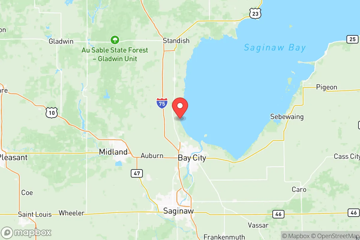
Bay County sits at the mouth of the Saginaw River where it empties into Saginaw Bay, a shallow arm of Lake Huron. This position provides direct access to one of the largest freshwater systems on Earth, a critical asset for any resilience-minded household. The county's location roughly 100 miles north of Detroit and 80 miles northeast of Lansing places it outside the immediate blast or fallout zones of those major population centers, while still being within a practical driving distance for supply runs or medical referrals. The surrounding region is dominated by agricultural land—corn, soybeans, and sugar beets—and the "Thumb" region of Michigan has a strong tradition of small-scale farming and food preservation. The Saginaw Bay watershed also supports substantial wildlife, including waterfowl, deer, and fish, adding a layer of wild food security. For a relocator, the combination of abundant surface water, fertile soil, and moderate population density creates a favorable baseline for long-term stability, provided one accounts for the seasonal realities of a northern climate.
Risk exposure: natural hazards, industrial legacy, and proximity to potential targets
No resilience assessment is honest without weighing the risks, and Bay County has several that demand attention. The most immediate natural hazard is severe winter weather, with the county averaging over 40 inches of snow annually and lake-effect bands capable of dropping a foot in a single event. Ice storms, power outages, and road closures are annual occurrences, making backup heating, food storage, and a four-wheel-drive vehicle near-essential. Flooding is a secondary concern, particularly in low-lying areas along the Saginaw River and the bay shoreline; the 2020 dam failures in Midland County, just 20 miles west, demonstrated how quickly water infrastructure failures can cascade into populated areas. On the man-made risk side, Bay County has a heavy industrial footprint. The Bay City area hosts multiple chemical plants, a coal-fired power plant (the Karn-Weadock facility), and the Bay County landfill, all of which could become hazardous in a disaster scenario. The Saginaw River is a shipping channel for petroleum products and aggregates, and the nearby Zilwaukee Bridge on I-75 is a known chokepoint that could complicate evacuation. More broadly, the county sits roughly 60 miles from the Dow Chemical complex in Midland, a major chemical manufacturing hub that would be a high-priority target in any conflict scenario. While Bay County itself is not a primary target, its proximity to Midland and the I-75 corridor means fallout or secondary effects from an event there could reach the area. For the strategic relocator, these risks are manageable with planning but should not be ignored.
Practical resilience: food, water, energy, and defensibility for a relocator
For someone serious about self-sufficiency, Bay County offers a strong mix of practical assets. Water is abundant and accessible: the Saginaw Bay and the Saginaw River provide surface water year-round, and the county sits atop the Marshall Sandstone aquifer, which yields good-quality groundwater at moderate depths. Most rural properties have private wells, and even suburban lots in towns like Essexville or Auburn can often support a well with proper permitting. Food production potential is excellent. The county's agricultural base means local farmers' markets, u-pick operations, and raw milk sources are plentiful. The growing season runs roughly May through September, with hardiness zones 5b and 6a allowing for a wide range of vegetables, fruits, and grains. Soil quality varies but is generally good in the river valleys. For those without land, the area has a strong hunting and fishing culture; deer, turkey, and waterfowl are abundant, and the bay offers walleye, perch, and salmon. Energy resilience is more mixed. The grid is served by Consumers Energy and DTE, both of which have experienced reliability issues during storms. Solar potential is moderate—Michigan averages about 160 sunny days per year—but a properly sized off-grid solar array with battery storage can work, especially if supplemented by a backup generator. Wood heating is common and practical, with ample firewood available from the surrounding hardwood forests. Defensibility is a relative strength. Bay County is not a high-crime area—the violent crime rate is below the national average—but more importantly, the county's layout offers natural defensive advantages. The Saginaw Bay forms a natural boundary to the east, and the river system creates chokepoints. Rural properties in the northern and western parts of the county, around Pinconning or Auburn, offer good visibility, limited road access, and distance from the more densely populated Bay City core. For a relocator, the key is to choose a property with well access, good drainage, and a defensible perimeter—preferably outside the floodplain and away from major industrial sites.
The overall strategic picture for Bay County is one of moderate-to-high resilience with specific, manageable vulnerabilities. It is not a remote survivalist redoubt—it has a functioning economy, a hospital system, and a population that expects modern conveniences—but it offers a realistic balance of access to resources, distance from major targets, and a community that still remembers how to can vegetables and split firewood. The winters are real, the industrial risks are real, and the proximity to Midland is a legitimate concern for those thinking in terms of national-level disruptions. But for a family or individual looking to relocate to a place where they can build a self-sufficient lifestyle without going completely off-grid, Bay County deserves a serious look. The water is there, the soil is productive, and the people are practical. That combination is harder to find than most relocation guides admit.

* Values derived from national, state, county, city and local statistics and may differ in a specific area. Last updated: 2026-07-09T15:11:22.000Z
Narrative content on this page is AI-generated and may contain mistakes. Verify any details that matter before acting on them.
ReloMaps may earn a commission from affiliate links at no extra cost to you.

