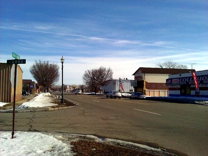
Photo: Wikipedia
Strategic Assessment of Melvindale, MI
Multiple tactical vulnerabilities. Population density, target proximity, or disaster risk are likely compounding. A retreat property and exit planning is required.
What does the Strategic Assessment tell us?
Our Strategic Assessment grades tactical survivability of an area. Major population centers, military targets, fallout zones, natural disasters, and border exposure all drive risk — lower exposure means a more defensible position in a crisis.
This is heavily inspired by Joel Skousen's Strategic Relocation book. Highly recommended you checkout the book ($)What does this tell us?
Our Strategic Assessment grades tactical survivability of an area. Major population centers, military targets, fallout zones, natural disasters, and border exposure all drive risk — lower exposure means a more defensible position in a crisis.
This is heavily inspired by Joel Skousen's Strategic Relocation book. Highly recommended you checkout the book ($)Strategic Pillars

Key Distances
Regional Safe Places
Below is our recommended "safe zones" in Michigan and the surrounding area based on our strategic heuristics. For most people, it's unrealistic to live in a “safe zone” full-time due to work, family or other personal reasons. They tend to be more rural. However, many of these areas are perfect for second homes and retreat properties that double as a vacation home or even a short-term rental.


Important Note: For informational purposes only. This does not mean nothing bad ever happens in the green zones. Please use common sense. This is based on public data and modeled with AI. We tried to take a conservative approach but mistakes happen. We update this regularly as new information becomes available.
Solar Generator Recommendations
Backup power matters more here than in safer locations. We've picked three solar generators across budgets and capacity tiers — start with the budget unit if you only need a few essentials, or step up if you want to run a fridge and HVAC for days at a time.

Jackery Portable Power Station Explorer 300
Budget OptionPower on the Go: Weighing only 11 lbs, it's convenient to set up and store with book-sized foldable solar panels

BLUETTI Portable Power Station AC180
Designed for both indoor and outdoor scenarios, AC180 is highly capable as it has a robost capacity and continuous output power.

EF ECOFLOW DELTA Pro Ultra Power Station
Upgraded PickEcoFlow DELTA Pro Ultra is a whole-home energy system designed to grow with your family. Integrated with the Smart Home Panel 2, it scales to meet your evolving energy needs — keeping your home powered, intelligent, and secure through every stage of life.
We earn a commission, at no additional cost to you.
Strategic Assessment Analysis
Melvindale, Michigan, presents a mixed strategic picture for the relocation-minded reader focused on resilience and self-sufficiency. While its location within the Downriver area of Wayne County offers certain logistical advantages—namely proximity to major transportation corridors like I-75 and the Detroit River—it is fundamentally a dense, inner-ring suburb with limited geographic buffers and significant exposure to both natural and man-made risks. For a household prioritizing disaster readiness and long-term defensibility, Melvindale’s core attributes are its affordability and access to regional resources, but these come with trade-offs that require careful, grounded assessment.
Geographic position and natural advantages for resilience
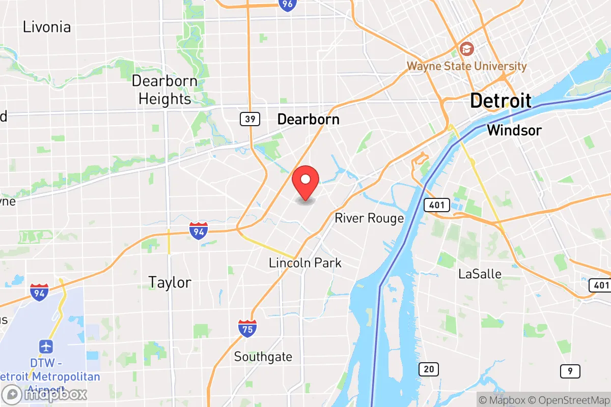
Melvindale sits roughly 10 miles southwest of downtown Detroit, placing it squarely within the urbanized core of Southeast Michigan. The area’s natural advantages are modest. The Detroit River, less than two miles to the east, provides a reliable surface water source, though access is limited by industrial waterfront and private property. The region’s flat topography and clay-heavy soils offer no natural high ground or defensible terrain, and the lack of significant elevation changes means flooding from heavy rain or storm surge is a real concern—especially in low-lying neighborhoods near the River Rouge and Ecorse Creek. On the positive side, the Great Lakes microclimate moderates temperature extremes, reducing the risk of prolonged heat waves or deep freezes compared to more inland locations. However, the area’s dense residential grid, with small lots and narrow streets, offers little in the way of natural cover or separation from neighbors, which is a drawback for anyone seeking operational security or privacy in a crisis scenario.
Risks, exposures, and proximity to fallout-relevant landmarks
The most significant strategic liability for Melvindale is its proximity to high-value, high-risk infrastructure. The city lies within a few miles of the Detroit River international border crossing, the Ambassador Bridge, and the Detroit Metropolitan Airport (DTW) to the south. These are prime targets for both kinetic and cyber disruption in a national emergency. Additionally, the Downriver area is home to numerous heavy industrial facilities, including chemical plants, refineries, and steel mills along the Rouge River and Detroit River corridors. A major industrial accident or targeted attack could produce toxic plumes, fires, or supply chain cascades that directly affect Melvindale. The city is also within the fallout zone of any large-scale event targeting downtown Detroit or the region’s critical infrastructure. While the risk of nuclear fallout is low in probability, the consequences are severe, and Melvindale’s location—downwind of Detroit and its industrial corridor—is not favorable. Natural risks include flash flooding from overwhelmed storm drains, occasional severe thunderstorms, and the potential for tornadoes, though the area is not in a high-frequency tornado alley.
Practical resilience for a relocator: food, water, energy, and defensibility
For a relocator serious about self-sufficiency, Melvindale’s practical resilience is limited by its urban density and lack of land. Most homes sit on lots of less than a quarter-acre, making large-scale gardening, rainwater catchment, or solar panel arrays difficult without significant investment or creative use of vertical space. The city’s water supply comes from the Great Lakes Water Authority, which is generally reliable but vulnerable to contamination or pressure loss during a prolonged grid-down event. A backup well is not feasible in this setting. Food security is a challenge: the nearest farmland is in Monroe County, about 20 miles south, and local grocery stores are dependent on just-in-time delivery logistics. Energy resilience is similarly constrained—rooftop solar is possible but faces shading from mature trees and neighboring structures, and natural gas is the primary heating fuel, which could be disrupted in a regional event. Defensibility is poor due to the dense street grid, multiple points of entry, and close proximity to neighbors. A single-family home with a fenced yard offers some perimeter control, but the overall environment is not conducive to long-term standoff or independent operation. The best-case scenario for a Melvindale relocator is to treat the home as a short-term base camp, with a more remote retreat property as the primary fallback.
In summary, Melvindale offers affordability and access to regional resources, but its strategic value for a resilience-minded household is low. The city’s dense urban layout, proximity to high-risk infrastructure, and limited land for self-sufficiency make it a poor choice for those prioritizing long-term disaster readiness and independence. A relocator would be better served by looking farther south or west into less developed parts of Monroe or Washtenaw counties, where land, water access, and separation from major targets are more favorable. For someone already committed to the Downriver area, the focus should be on building a robust emergency kit, establishing a community network, and having a clear evacuation plan for the most likely scenarios—flooding, industrial accidents, and regional supply chain disruptions.

* Values derived from national, state, county, city and local statistics and may differ in a specific area. Last updated: 2026-10-18T18:13:52.000Z
Narrative content on this page is AI-generated and may contain mistakes. Verify any details that matter before acting on them.
ReloMaps may earn a commission from affiliate links at no extra cost to you.

