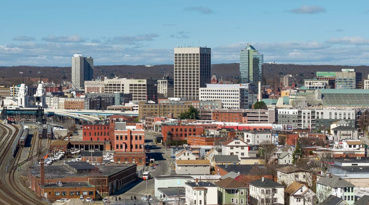
Photo: Wikipedia
Strategic Assessment of Worcester County
Multiple tactical vulnerabilities. Population density, target proximity, or disaster risk are likely compounding. A retreat property and exit planning is required.
What does the Strategic Assessment tell us?
Our Strategic Assessment grades tactical survivability of an area. Major population centers, military targets, fallout zones, natural disasters, and border exposure all drive risk — lower exposure means a more defensible position in a crisis.
This is heavily inspired by Joel Skousen's Strategic Relocation book. Highly recommended you checkout the book ($)What does this tell us?
Our Strategic Assessment grades tactical survivability of an area. Major population centers, military targets, fallout zones, natural disasters, and border exposure all drive risk — lower exposure means a more defensible position in a crisis.
This is heavily inspired by Joel Skousen's Strategic Relocation book. Highly recommended you checkout the book ($)Strategic Pillars

Key Distances
Strategic Assessment Analysis
Worcester County, Massachusetts, offers a compelling strategic position for relocation-minded individuals and families who prioritize resilience and self-sufficiency without sacrificing access to economic opportunity. Situated in the heart of New England, the county acts as a geographic buffer between the dense population centers of Boston and the more rural, resource-rich areas to the west. Its inland location, away from the immediate coastal storm surge zones and major metropolitan fallout targets, provides a distinct advantage for those assessing long-term stability and disaster preparedness.
Geographic position and natural advantages for long-term stability
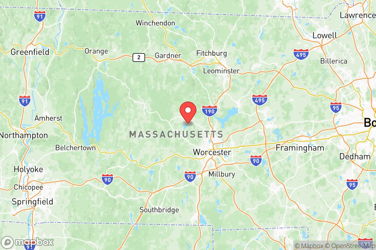
Worcester County’s central location in Massachusetts is its primary strategic asset. The county is roughly 50 miles west of Boston, placing it outside the most likely immediate blast and fallout zones of a major metropolitan target, while still within a reasonable distance for commuting or accessing specialized medical care. The terrain is a mix of rolling hills, forested areas, and numerous lakes and rivers, including the Quabbin Reservoir—one of the largest unfiltered water supplies in the United States—which borders the county’s western edge. This water abundance is a critical resilience factor. Towns like Worcester (the county seat), Fitchburg, Leominster, and Southbridge are inland, reducing exposure to hurricane storm surge and sea-level rise that threaten coastal communities like Boston or Cape Cod. The county’s elevation, averaging 600-1,000 feet, also mitigates flood risks from rivers like the Blackstone and Nashua, though localized flooding does occur. For a relocator, the natural advantages are clear: ample freshwater resources, a temperate climate with four distinct seasons, and a topography that offers natural defensibility and agricultural potential.
Risks, exposures, and proximity to fallout-relevant landmarks
No location is without risk, and Worcester County has specific exposures that a strategic-minded relocator must weigh. The most significant man-made risk is proximity to Boston’s Logan International Airport and the Port of Boston, both high-value targets in a conflict scenario. While Worcester County is outside the immediate blast radius of a nuclear strike on Boston, prevailing westerly winds could carry fallout across the eastern part of the county. Towns like Marlborough and Hudson, closer to the I-495 corridor, are more exposed than western communities like Barre or Hardwick. Additionally, the county hosts several critical infrastructure nodes: Worcester Regional Airport is a secondary airfield, and the Massachusetts Military Reservation (though primarily on Cape Cod) has support facilities in the region. The New England Clean Energy Connect transmission lines and natural gas pipelines running through the county are potential targets for sabotage or disruption. Natural risks include occasional nor’easters, ice storms, and the potential for a 100-year flood event along the Blackstone River. Earthquake risk is low, but the region’s aging infrastructure—particularly the electrical grid—is vulnerable to prolonged outages from severe winter weather. For a relocator, the key takeaway is that western Worcester County offers a safer distance from Boston’s fallout zone, while eastern towns near I-495 carry higher exposure.
Practical resilience for a relocator: food, water, energy, and defensibility
Worcester County’s practical resilience is strong but requires active preparation. Water is abundant: the Quabbin Reservoir and Wachusett Reservoir supply the region, and many towns have municipal wells. For off-grid capability, private wells are common in rural areas, and surface water from lakes like Lake Quinsigamond or the Swift River is accessible with proper filtration. Food security is moderate. The county has a growing local food movement, with farms in Sturbridge, Princeton, and Holden producing vegetables, dairy, and meat. The Worcester County Agricultural Society supports small-scale farming, and the region’s climate is suitable for cold-hardy crops and livestock. However, the county is not a major grain producer, meaning long-term food self-sufficiency would require significant land and effort. Energy resilience is a mixed picture. The grid is reliable in normal conditions but vulnerable to ice storms and cyberattacks. Solar adoption is growing, with net metering available, and many rural homes use propane or wood for heating. Wood is a key resource—the county’s forests provide ample fuel for heating and cooking, a major advantage over urban areas. Defensibility is moderate. The terrain offers natural chokepoints (hills, rivers, narrow roads) that could be used for perimeter security, but the county’s population density (roughly 850,000 people) means that a full-scale collapse scenario would see significant movement from Boston. Community preparedness varies—towns like Rutland and Paxton have active emergency management and local networks, while more suburban areas may be less organized. For a relocator, the practical steps are clear: secure a property with a well and wood-burning capability, build relationships with local farmers, and invest in solar with battery storage.
The overall strategic picture for Worcester County is one of balanced opportunity and calculated risk. It offers a rare combination of proximity to economic hubs like Boston and Providence while maintaining a buffer from their most severe vulnerabilities. The county’s inland location, abundant water, and agricultural potential make it one of the more resilient areas in New England for a family or individual serious about preparedness. However, it is not a remote survivalist retreat—it is a working, populated region with real exposure to infrastructure risks and population movement during crises. For the relocator who values community, access to resources, and a lower-risk profile than coastal or urban alternatives, Worcester County represents a solid strategic choice. The key is to choose a location in the western half of the county, invest in self-sufficiency systems, and integrate into local networks. Done right, it provides a foundation for long-term stability without isolation.

* Values derived from national, state, county, city and local statistics and may differ in a specific area. Last updated: 2026-07-10T00:04:39.000Z
Narrative content on this page is AI-generated and may contain mistakes. Verify any details that matter before acting on them.
ReloMaps may earn a commission from affiliate links at no extra cost to you.

