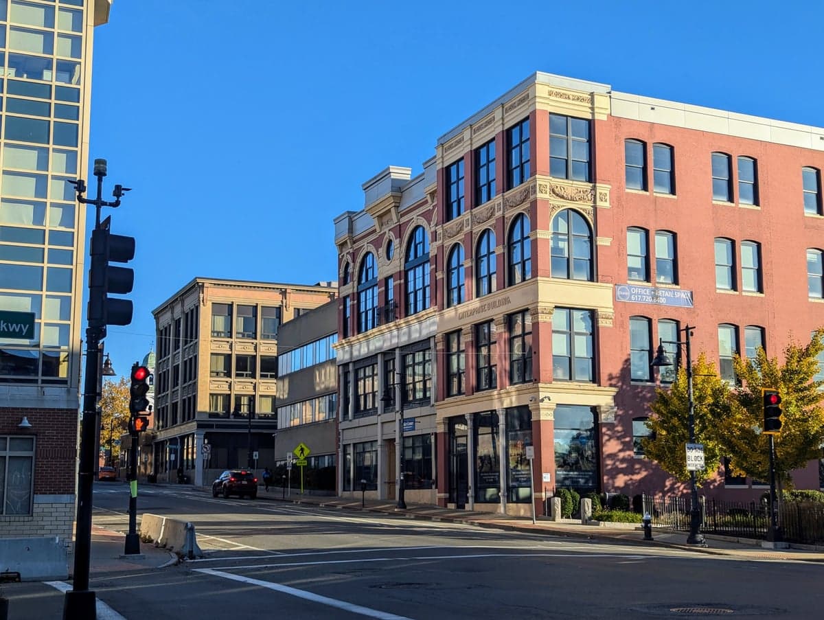
Photo: Wikipedia
Strategic Assessment of Plymouth County
Multiple tactical vulnerabilities. Population density, target proximity, or disaster risk are likely compounding. A retreat property and exit planning is required.
What does the Strategic Assessment tell us?
Our Strategic Assessment grades tactical survivability of an area. Major population centers, military targets, fallout zones, natural disasters, and border exposure all drive risk — lower exposure means a more defensible position in a crisis.
This is heavily inspired by Joel Skousen's Strategic Relocation book. Highly recommended you checkout the book ($)What does this tell us?
Our Strategic Assessment grades tactical survivability of an area. Major population centers, military targets, fallout zones, natural disasters, and border exposure all drive risk — lower exposure means a more defensible position in a crisis.
This is heavily inspired by Joel Skousen's Strategic Relocation book. Highly recommended you checkout the book ($)Strategic Pillars

Key Distances
Strategic Assessment Analysis
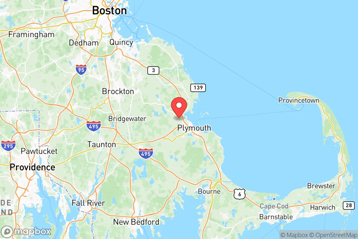
Plymouth County, Massachusetts, offers a compelling mix of historical depth and modern strategic positioning for those evaluating relocation through a lens of resilience and self-sufficiency. Its location on the South Shore of Massachusetts Bay, roughly 40 miles south of Boston, provides a buffer from the immediate density and target profile of a major metropolitan hub while still granting access to its economic and logistical networks. For the conservative-leaning reader prioritizing preparedness, the county’s blend of coastal access, inland forest, and working-class towns presents a nuanced picture of advantages and exposures that demands a clear-eyed assessment.
Geographic position and natural advantages for long-term stability
Plymouth County’s geography is its primary strategic asset. The county stretches from the Atlantic coast westward into the pine barrens and wetlands of southeastern Massachusetts, offering a diversity of terrain that supports both maritime and inland living. The towns of Plymouth, Wareham, and Middleborough sit on or near major water bodies—Plymouth Harbor, Buzzards Bay, and the Taunton River watershed—providing access to fresh and saltwater resources. The region’s abundant groundwater, particularly in the Plymouth-Carver aquifer system, is a significant advantage for long-term water security, a factor often overlooked in coastal assessments. The area’s moderate climate avoids the extremes of the Deep South or the Upper Midwest, reducing the frequency of catastrophic weather events like hurricanes or tornadoes, though nor’easters remain a seasonal concern. The county’s position south of Boston also places it outside the immediate blast radius of any theoretical strike on the city, while still being close enough to leverage its medical and supply chains in a non-crisis period. For a relocator seeking a balance between remoteness and access, the interior towns like Carver or Halifax offer wooded, low-density living that is harder to find closer to the I-95 corridor.
Risk exposure: natural hazards and proximity to fallout-relevant landmarks
No strategic assessment is complete without acknowledging the risks. Plymouth County’s coastal exposure is its most obvious vulnerability. Storm surge from nor’easters and hurricanes threatens low-lying areas of Plymouth, Duxbury, and Marshfield, with the 2018 Bomb Cyclone and 1991 Perfect Storm serving as recent reminders. Flood insurance is mandatory in many zones, and FEMA flood maps should be consulted before any property purchase. Beyond weather, the county sits within 100 miles of several high-value targets that could be relevant in a major conflict scenario. Boston’s Logan International Airport, the Port of Boston, and the Fore River Shipyard in Quincy (a major naval construction and repair facility) are all within a 45-minute drive. The Plymouth Nuclear Power Station, decommissioned but still housing spent fuel on-site, is a localized concern for those living in the immediate vicinity of the plant in Plymouth. Additionally, the county’s proximity to Camp Edwards on Joint Base Cape Cod, a training facility for the Massachusetts National Guard, means military air traffic and occasional live-fire exercises are a reality for western towns like Wareham and Bourne. For the preparedness-minded, these are not deal-breakers but factors to weigh when choosing a specific town—interior locations like Lakeville or Rochester offer greater distance from coastal surge zones and major infrastructure targets.
Practical resilience for a relocator: food, water, energy, and defensibility
For a family or individual looking to build a self-sufficient lifestyle, Plymouth County offers a mixed but workable foundation. Water security is strong: private wells are common in rural and suburban lots, and the region’s high water table means shallow wells are often productive. Municipal water in towns like Plymouth and Middleborough is sourced from local reservoirs and groundwater, but a well with a hand pump or solar-powered backup provides true independence. Food production is feasible but requires effort. The county has a long agricultural history, with cranberry bogs dominating the landscape in Carver, Middleborough, and Wareham. While these are commercial operations, the sandy, acidic soil is also suitable for root vegetables, berries, and small orchards if amended. The growing season runs from May to October, shorter than the South but workable with cold frames or hoop houses. Local farmers’ markets and CSAs are abundant in season, and the coast provides shellfish harvesting (clams, oysters, mussels) in regulated areas—though red tide and bacterial closures require monitoring. Energy resilience is improving. Solar adoption is high in Massachusetts due to state incentives, and net metering allows homeowners to offset grid dependence. Wood stoves are common in older homes, and the surrounding forests provide ample fuel for those with land. Propane delivery is reliable, but bulk storage is advisable for those off the main gas lines. Defensibility is a harder sell in a densely populated state. Plymouth County’s population is over 500,000, and suburban sprawl means most properties are within sight of neighbors. However, the interior towns—Carver, Halifax, Plympton, and Rochester—offer larger lot sizes (2-10 acres common), wooded buffers, and dead-end roads that provide natural chokepoints. The county’s strong gun culture is a practical advantage: Massachusetts has strict firearms laws, but lawful ownership is common among hunters and sport shooters, and the region has a network of licensed dealers and ranges. For a relocator, the key is to prioritize a property with well water, south-facing roof for solar, and at least 5 acres of wooded land—a combination that is still attainable in the $400k–$600k range in the less developed towns.
The overall strategic picture for Plymouth County is one of moderate resilience with clear trade-offs. It offers genuine advantages in water availability, agricultural potential, and distance from Boston’s immediate target zone, while remaining within reach of its medical and economic resources. The risks—coastal flooding, proximity to military and industrial infrastructure, and a relatively dense population—are manageable for a prepared relocator who chooses their town and property carefully. For the conservative-leaning reader who values community, self-reliance, and a slower pace of life without total isolation, Plymouth County represents a viable middle ground in the Northeast corridor. It is not a bug-out location, but a place to build a sustainable, prepared life within a functioning civil society—exactly the kind of strategic calculus that matters when the grid stays on and the world stays complicated.

* Values derived from national, state, county, city and local statistics and may differ in a specific area. Last updated: 2026-07-15T16:23:25.000Z
Narrative content on this page is AI-generated and may contain mistakes. Verify any details that matter before acting on them.
ReloMaps may earn a commission from affiliate links at no extra cost to you.

