Photo: Wikipedia
Strategic Assessment of Norfolk County
Multiple tactical vulnerabilities. Population density, target proximity, or disaster risk are likely compounding. A retreat property and exit planning is required.
What does the Strategic Assessment tell us?
Our Strategic Assessment grades tactical survivability of an area. Major population centers, military targets, fallout zones, natural disasters, and border exposure all drive risk — lower exposure means a more defensible position in a crisis.
This is heavily inspired by Joel Skousen's Strategic Relocation book. Highly recommended you checkout the book ($)What does this tell us?
Our Strategic Assessment grades tactical survivability of an area. Major population centers, military targets, fallout zones, natural disasters, and border exposure all drive risk — lower exposure means a more defensible position in a crisis.
This is heavily inspired by Joel Skousen's Strategic Relocation book. Highly recommended you checkout the book ($)Strategic Pillars

Key Distances
Strategic Assessment Analysis
Norfolk County, Massachusetts, presents a complex strategic picture for the relocation-minded individual or family prioritizing resilience and self-sufficiency. While its proximity to Boston offers economic opportunity, the county’s dense suburban character, heavy reliance on regional infrastructure, and location within a major metropolitan corridor introduce significant vulnerabilities that a conservative-leaning, preparedness-focused reader must weigh carefully. The county’s resilience is a mixed bag: strong local governance and access to resources are counterbalanced by exposure to concentrated population centers and critical infrastructure targets.
Geographic position, natural advantages, and the Boston shadow
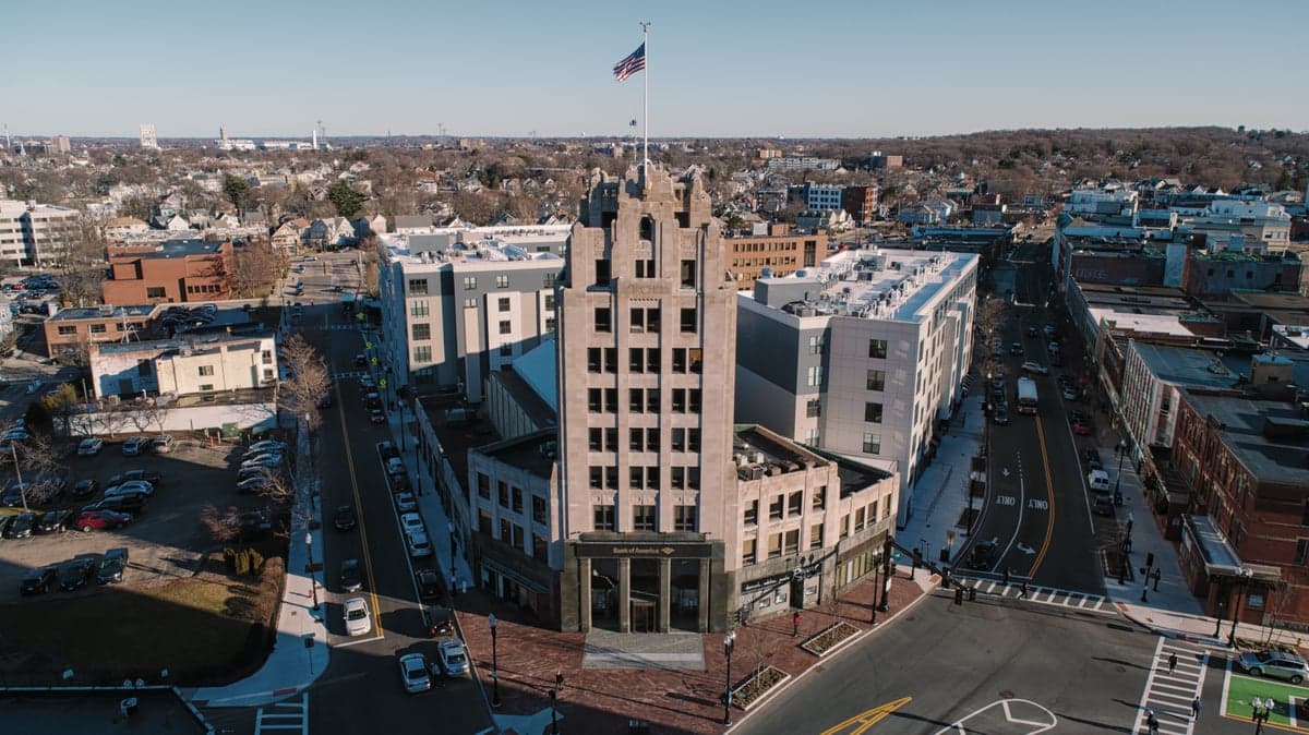
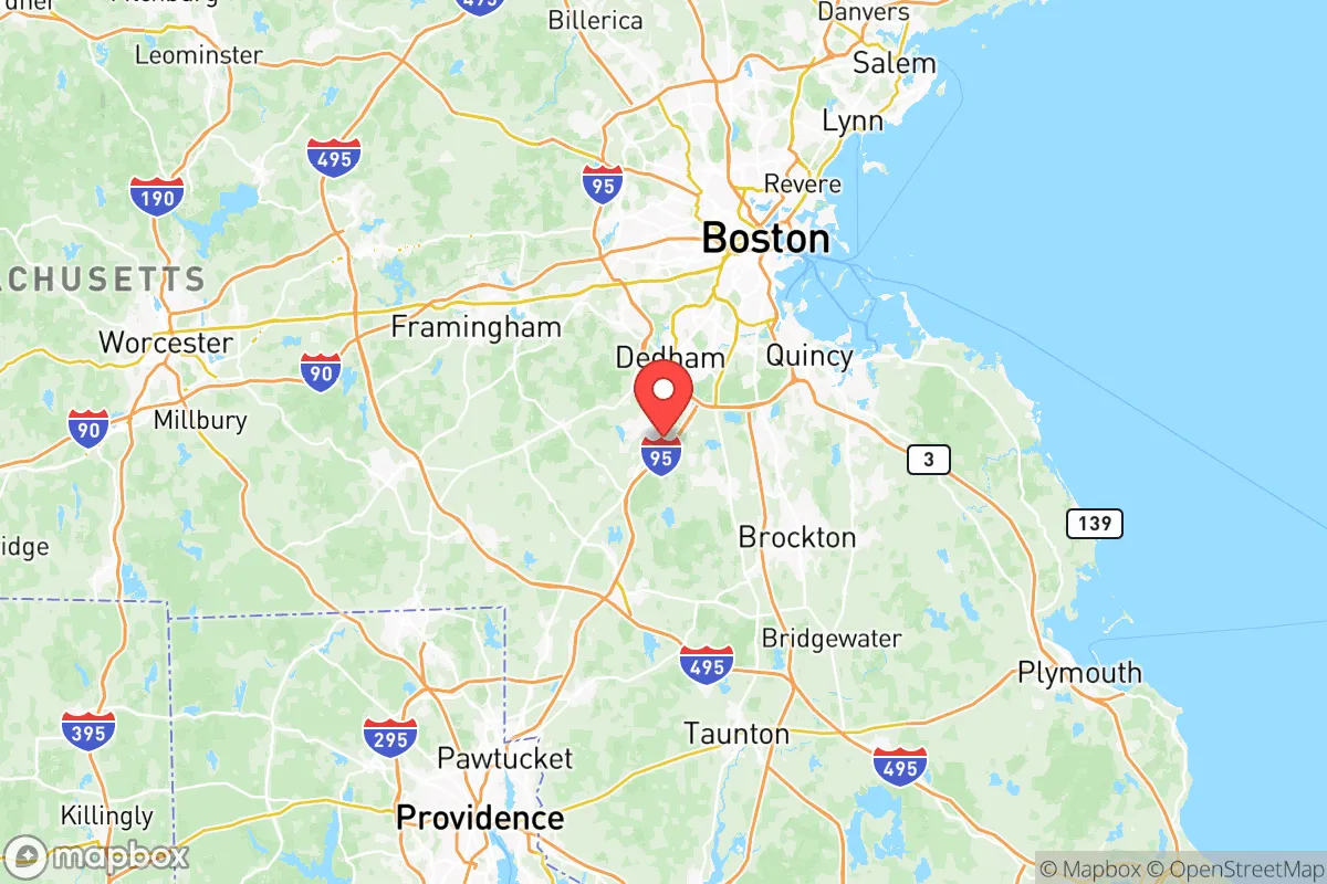
Norfolk County sits directly southwest of Boston, forming a dense suburban ring that includes towns like Dedham, Quincy, Brookline, and Franklin. Its geography offers few natural defensive advantages: the terrain is gently rolling, heavily developed, and crisscrossed by major highways (I-95, I-93, Route 128) and commuter rail lines. The county lacks significant elevation, dense forests, or large tracts of remote land that would aid in isolation or self-sufficiency. The Blue Hills Reservation, a 7,000-acre state park straddling Milton and Quincy, provides the largest contiguous green space, but it is a recreational area, not a wilderness capable of supporting long-term off-grid living. The county’s coastline along Quincy Bay and Hingham Bay offers maritime access, but that same coastline is densely populated and within easy striking distance of Boston’s urban core. For a relocator seeking geographic buffer, Norfolk County’s position is a liability: it is close enough to Boston to absorb fallout from any major disruption there, yet not far enough to offer meaningful separation from the region’s concentrated population and infrastructure.
Risks, exposures, and proximity to fallout-relevant landmarks
The most significant strategic risk for Norfolk County is its location within the Boston metropolitan area, one of the densest population and economic corridors in the United States. The county is within a 15- to 30-mile radius of multiple high-value targets: Boston Logan International Airport, the Port of Boston (a major container and fuel shipping hub), and the Mystic River oil terminal in Everett. Any disruption to these facilities—whether from natural disaster, accident, or deliberate attack—would directly affect Norfolk County through supply chain interruptions, evacuation pressure, and potential contamination plumes. The county also hosts its own critical infrastructure: the Fore River Shipyard in Quincy, a historic naval construction site now used for commercial shipbuilding and maintenance, and the Norfolk County Correctional Center in Dedham. While not a military base, the shipyard’s industrial activity and the prison’s population concentration represent localized risk. Natural hazards include nor’easters, coastal flooding in Quincy and Hingham, and the potential for extended power outages from winter storms. The county’s dense suburban grid means that a single-point failure—a substation, a water treatment plant, a major bridge—can cascade quickly across multiple towns. For a preparedness-minded relocator, the key takeaway is that Norfolk County offers no meaningful buffer from Boston’s risks while lacking the rural depth to absorb or mitigate them.
Practical resilience for a relocator: food, water, energy, and defensibility
Norfolk County’s practical resilience is constrained by its suburban density and reliance on centralized systems. Food security is a notable weakness: the county has very little active farmland, and most towns are zoned for residential and commercial use. Community gardens exist in places like Brookline and Needham, but they are small-scale and cannot support a significant population during a supply disruption. The county’s grocery distribution depends on just-in-time logistics from regional warehouses, most located outside the county. Water security is similarly centralized: the Massachusetts Water Resources Authority (MWRA) supplies water to most Norfolk County towns via the Quabbin Reservoir system, a single-source pipeline that is vulnerable to both natural disaster and sabotage. Towns like Franklin and Medfield have their own wells, offering some local redundancy, but the majority of the county’s population relies on the MWRA grid. Energy resilience is poor: the county is served by Eversource and National Grid, with no significant local power generation or microgrid infrastructure. Extended winter storms have repeatedly caused multi-day outages in towns like Walpole and Norwood, and backup generation is not widespread. Defensibility is the weakest category: Norfolk County’s dense road network, lack of natural chokepoints, and proximity to Boston make it nearly impossible to secure or isolate in a crisis. The county’s police and fire departments are professional and well-funded, but they are designed for routine emergencies, not large-scale civil disruption. For a relocator seeking practical self-sufficiency, Norfolk County demands significant personal investment: private water storage, solar generation with battery backup, and a well-stocked pantry are not optional but essential.
The overall strategic picture for Norfolk County is one of calculated risk. The county offers strong economic opportunity, excellent schools, and access to world-class medical care—factors that appeal to families and professionals. But for the reader prioritizing disaster readiness, geographic buffer, and self-sufficiency, Norfolk County falls short. Its location within the Boston orbit exposes it to concentrated risks, its infrastructure is centralized and fragile, and its suburban density offers little room for independent operation. A relocator who chooses Norfolk County should do so with eyes open, investing heavily in household-level preparedness and maintaining a clear evacuation plan for the worst-case scenarios. For those who can accept those trade-offs, the county’s institutional stability and community resources provide a solid foundation—but it is not a haven, and it should not be marketed as one.

* Values derived from national, state, county, city and local statistics and may differ in a specific area. Last updated: 2026-06-17T16:55:08.000Z
Narrative content on this page is AI-generated and may contain mistakes. Verify any details that matter before acting on them.
ReloMaps may earn a commission from affiliate links at no extra cost to you.

