Photo: Wikipedia
Strategic Assessment of Hampshire County
Meaningful friction. Expect exposure to either population pressure, blast zones, or natural disaster risk. Consider buying a retreat property.
What does the Strategic Assessment tell us?
Our Strategic Assessment grades tactical survivability of an area. Major population centers, military targets, fallout zones, natural disasters, and border exposure all drive risk — lower exposure means a more defensible position in a crisis.
This is heavily inspired by Joel Skousen's Strategic Relocation book. Highly recommended you checkout the book ($)What does this tell us?
Our Strategic Assessment grades tactical survivability of an area. Major population centers, military targets, fallout zones, natural disasters, and border exposure all drive risk — lower exposure means a more defensible position in a crisis.
This is heavily inspired by Joel Skousen's Strategic Relocation book. Highly recommended you checkout the book ($)Strategic Pillars

Key Distances
Strategic Assessment Analysis
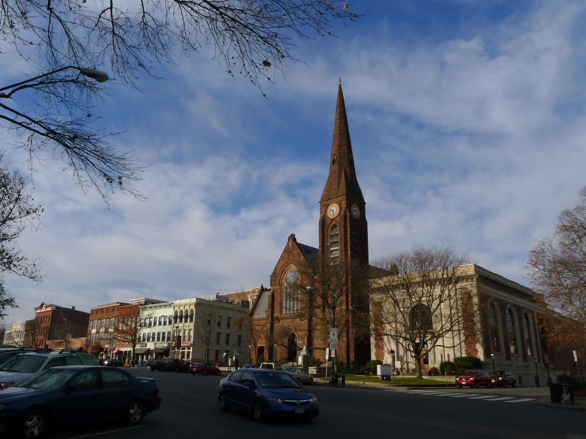
Hampshire County, Massachusetts, offers a compelling strategic profile for the relocation-minded reader focused on resilience and self-sufficiency, blending the quiet strength of the Pioneer Valley with a surprising degree of geographic insulation. While not a remote wilderness, its position west of the Boston-Worcester-Providence megalopolis and north of the Hartford-Springfield corridor provides a meaningful buffer from the most acute risks of dense urban centers and major industrial targets. The county’s core—anchored by the college towns of Amherst and Northampton and the smaller communities of Easthampton, Hadley, and Belchertown—sits in a landscape of rolling hills, working farms, and extensive state forests, offering a foundation for a more self-reliant lifestyle than what is typically found closer to the coast.
Geographic position and natural advantages for long-term security
Hampshire County’s primary strategic asset is its location within the Connecticut River Valley, a region blessed with some of the most fertile agricultural soil in New England. This is not abstract; the valley floor around Hadley and Amherst is a patchwork of active farms, orchards, and market gardens that produce a significant portion of the region’s fresh food. For a relocator prioritizing food security, this is a tangible advantage—local food networks, CSAs, and farm stands are abundant, and the growing season, while shorter than the South, is reliable. The county is also flanked by the Holyoke Range and the Pelham Hills, which provide natural defensibility and a degree of separation from the more developed, flood-prone areas immediately along the Connecticut River. The extensive state parks and watershed lands, including the Quabbin Reservoir to the east (a critical water source for Boston, but also a vast, protected buffer zone), create a landscape that is difficult to traverse in a crisis, offering natural chokepoints and avenues of retreat. The area’s elevation, generally between 200 and 1,000 feet, keeps it above the worst of valley fog and provides good line-of-sight for communications, though the hills can also block signals in low-lying pockets.
Risks, exposures, and proximity to fallout-relevant landmarks
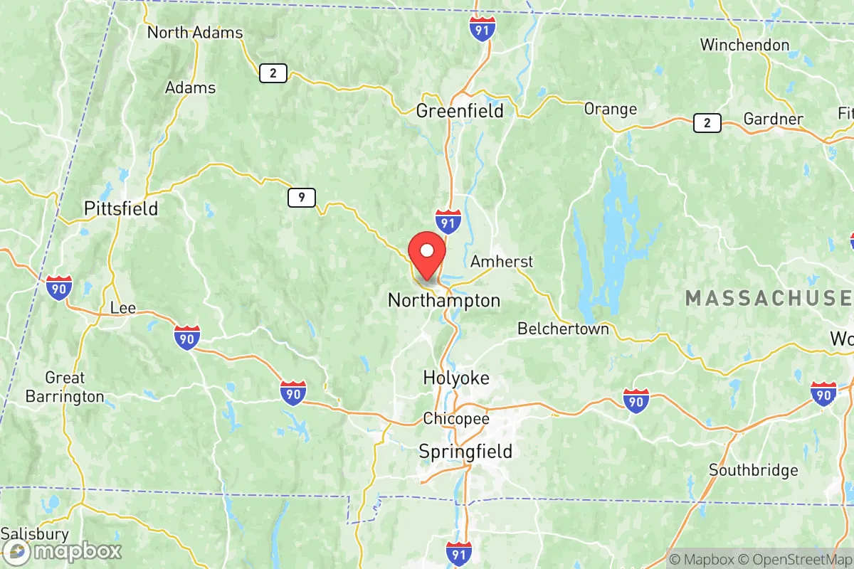
No strategic assessment is complete without a clear-eyed look at vulnerabilities. Hampshire County’s greatest exposure is its proximity to the I-91 corridor, which runs north-south through Northampton and connects to the Springfield-Hartford metroplex, a major transportation and industrial hub. Springfield, just 20 miles south, is home to the Springfield Armory National Historic Site (a symbolic target) and is a significant rail and highway junction. More critically, the county lies within roughly 50-70 miles of the Millstone Nuclear Power Station in Waterford, Connecticut, and the Pilgrim Nuclear Power Station (decommissioned but still storing spent fuel) near Plymouth. While not in the immediate blast zone, a major incident at either could place Hampshire County in a downwind plume path, depending on weather patterns. The county itself has no major refineries, military bases, or heavy industrial complexes, which is a positive for fallout risk, but the Bradley International Airport in Windsor Locks, CT, and the Westover Air Reserve Base in Chicopee (just over the county line) are both potential secondary targets or staging areas that could draw attention. Natural risks are moderate: the Connecticut River and its tributaries can flood during heavy spring rains or snowmelt, particularly in low-lying parts of Northampton and Hadley. The region is in a low-to-moderate seismic zone, but the 2011 Mineral, Virginia earthquake was felt here, reminding residents that the Northeast is not immune. Winter storms are the most frequent hazard, with ice storms and heavy snow capable of knocking out power for days or weeks, a recurring reality that tests local preparedness.
Practical resilience for a relocator: food, water, energy, and defensibility
For the individual or family serious about self-sufficiency, Hampshire County offers a mix of strong fundamentals and real-world challenges. Food security is the standout advantage. The county’s agricultural base is not just a talking point; it’s a working landscape. The Hadley and Amherst areas are dotted with pick-your-own farms, and the Amherst Farmers Market is one of the oldest and most robust in the state. A motivated household could easily source a significant portion of its produce, meat, and dairy from within a 15-mile radius. Water availability is generally excellent, with abundant groundwater and surface water from the many streams, ponds, and the Connecticut River itself. However, well water quality can vary with local geology, and testing is essential. The county’s hilly terrain means that many homes have good natural drainage, but low-lying properties near the river or its tributaries require careful evaluation. Energy resilience is a mixed picture. The region is served by Eversource and National Grid, and power outages from storms are common. Solar adoption is high relative to the state average, but net metering policies and grid interconnection can be bureaucratic. Wood heat is a practical and popular supplement, with ample firewood available from local forests, but air quality regulations in some towns (like Northampton) can restrict outdoor burning. Defensibility is moderate. The county is not a fortress, but its rural character, winding roads, and forested hills create natural barriers. The population is concentrated in the valley towns, leaving large swaths of the hill towns (e.g., Pelham, Prescott, Shutesbury) sparsely populated and difficult to access without local knowledge. The presence of a well-educated, community-oriented population—driven by the five colleges (Amherst, Hampshire, Mount Holyoke, Smith, and UMass Amherst)—means that local mutual aid networks and preparedness groups are more organized than in many rural areas. However, this same population density in the college towns can become a liability in a crisis, as the influx of students and visitors could strain local resources.
The overall strategic picture for Hampshire County is one of a resilient, resource-rich region with clear, manageable vulnerabilities. It is not a bug-out location for the prepper seeking total isolation, but it is a strong candidate for the relocator who wants to build a sustainable, self-reliant life within a supportive community. The combination of fertile soil, abundant water, a moderate climate, and a population that values preparedness and localism creates a foundation that is hard to find elsewhere in the Northeast. The key trade-off is proximity to the Springfield-Hartford corridor and the associated risks of infrastructure failure, civil unrest, or secondary effects from a major event. For the reader who is willing to invest in a good well, a solar array, a wood stove, and a deep pantry—and who is comfortable with the reality of winter storms and the occasional power outage—Hampshire County offers a genuinely strategic location that balances access to resources with a meaningful degree of separation from the most acute threats of the modern world.

* Values derived from national, state, county, city and local statistics and may differ in a specific area. Last updated: 2026-07-10T05:46:10.000Z
Narrative content on this page is AI-generated and may contain mistakes. Verify any details that matter before acting on them.
ReloMaps may earn a commission from affiliate links at no extra cost to you.

