Photo: Wikipedia
Strategic Assessment of Bristol County
Multiple tactical vulnerabilities. Population density, target proximity, or disaster risk are likely compounding. A retreat property and exit planning is required.
What does the Strategic Assessment tell us?
Our Strategic Assessment grades tactical survivability of an area. Major population centers, military targets, fallout zones, natural disasters, and border exposure all drive risk — lower exposure means a more defensible position in a crisis.
This is heavily inspired by Joel Skousen's Strategic Relocation book. Highly recommended you checkout the book ($)What does this tell us?
Our Strategic Assessment grades tactical survivability of an area. Major population centers, military targets, fallout zones, natural disasters, and border exposure all drive risk — lower exposure means a more defensible position in a crisis.
This is heavily inspired by Joel Skousen's Strategic Relocation book. Highly recommended you checkout the book ($)Strategic Pillars

Key Distances
Strategic Assessment Analysis
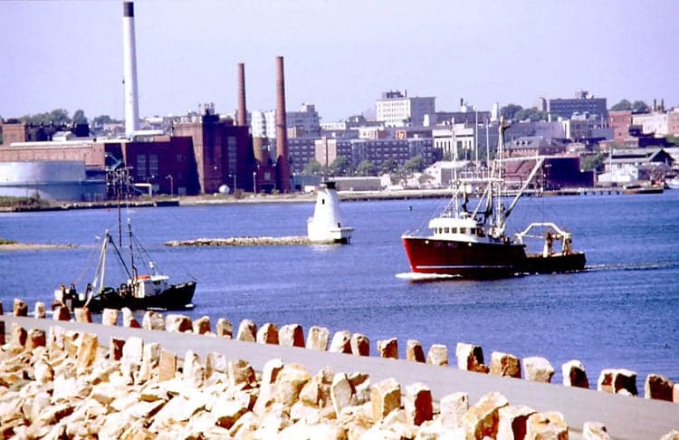
Bristol County, Massachusetts occupies a position of strategic duality for the relocator weighing resilience against convenience. Stretching from the industrial ports of Fall River and New Bedford north to the inland hub of Taunton, the county offers access to regional food networks, deep-water infrastructure, and a buffer of smaller towns that sits roughly equidistant from Boston and Providence. This location has built a pragmatic, self-reliant character rooted in its fishing and manufacturing past, but its coastal exposure and proximity to major population centers require a clear-eyed assessment of both natural and man-made risks.
Bristol County's geographic position and natural advantages for preparedness
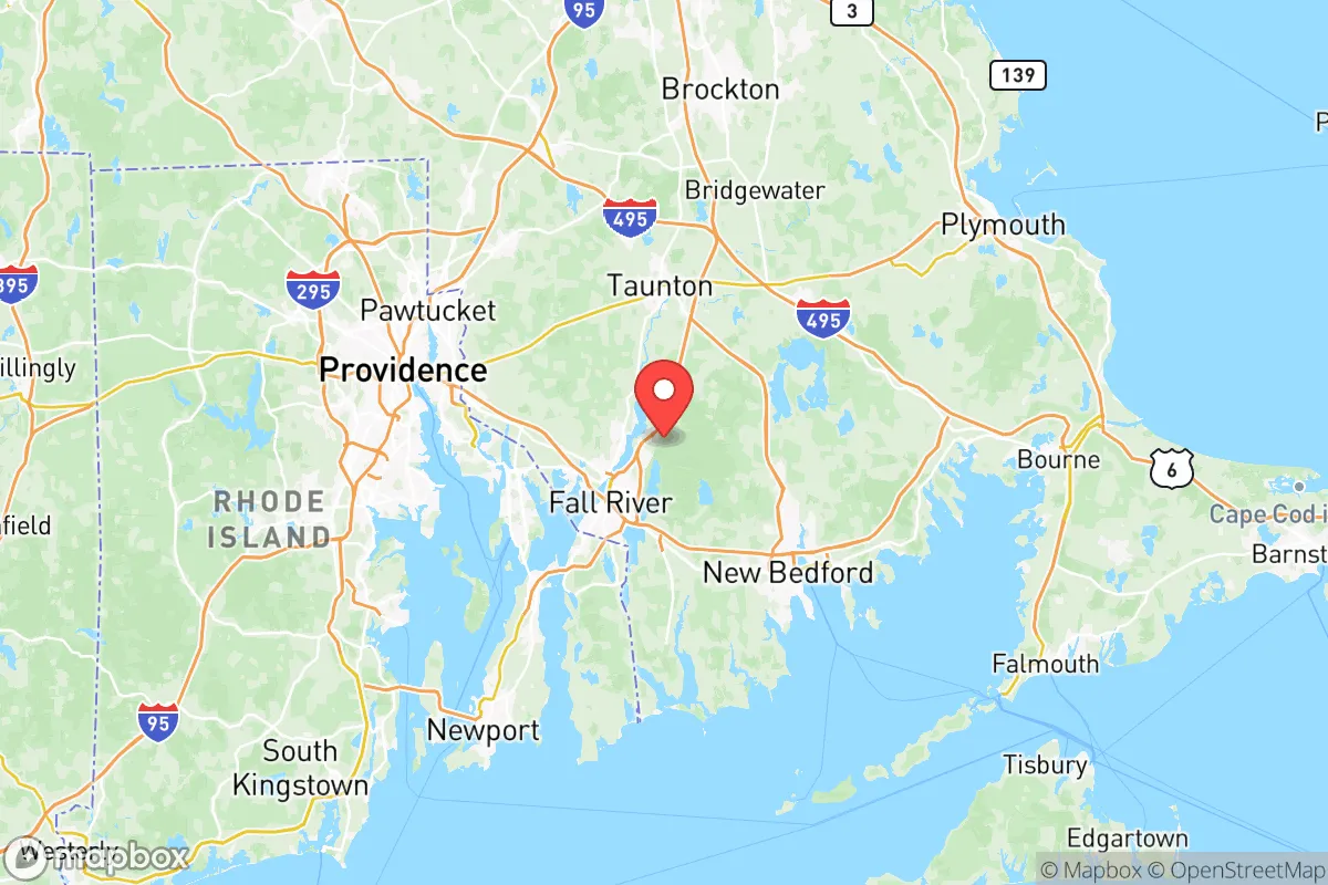
Geographically, Bristol County sits on the western shore of Buzzards Bay and Mount Hope Bay, with a coastline that includes sheltered harbors, salt marshes, and a mix of suburban and rural inland towns. The county's interior — places like Dartmouth, Freetown, and Rehoboth — features working farms, woodlots, and ponds that have historically supported local food production. The Assawompset Pond Complex and the Watuppa Ponds provide significant freshwater resources to the region, a solid foundation for water security that is rare in more densely developed parts of Massachusetts. Towns like Norton, Mansfield, and Raynham offer lower population density and more land per dwelling than the urban core of Fall River or New Bedford, giving a relocator room to set up gardens, rainwater catchment, or small livestock operations without drawing attention. The county's position also gives it a logistical advantage: it's a 45-minute drive from Boston to the north and 20 minutes from Providence to the west, yet the suburban and rural communities feel far removed from the chaos of either city. The proximity to Interstate 195, Route 24, and the Boston-Providence rail corridor means you can access supply chains or medical centers quickly, but the back roads through Freetown or Rehoboth offer discreet alternatives if main routes become compromised.
Natural and man-made risks to consider before relocating
The coastal exposure is the most obvious natural risk. Hurricanes and nor'easters have historically flooded low-lying areas of Fall River and New Bedford, particularly near the waterfront and along the Taunton River. Sea-level rise is a long-term concern for property within the floodplain, and storm surge can push saltwater into freshwater supplies if wells are not properly sealed. Beyond weather, Bristol County sits within striking distance of several high-consequence man-made assets. The retired Pilgrim Nuclear Power Station in Plymouth, just north of the county line, still houses spent nuclear fuel on site — a fact that reads differently if you are thinking about fallout risks or a major security incident. Naval Station Newport lies directly across Mount Hope Bay in Rhode Island, a military target of real interest in any peer-level conflict scenario. The port of New Bedford handles significant cargo, including hazardous materials tied to the fishing fleet and offshore wind staging, while the industrial waterfront of Providence has active liquefied natural gas terminals and chemical storage. The major population centers of Boston and Providence are themselves targets for either conventional attack or infrastructure disruption, and Bristol County sits squarely between them. I-95 and I-195 run through the county, meaning that if either city were evacuated, these roads could become impassable chokepoints. In short, the same proximity that gives the county its strategic utility also places it within the blast radius of several high-value targets, and any relocator should map evacuation routes well beyond the immediate corridor.
Practical resilience for relocators: food, water, energy, and defensibility
On the practical side of daily survival, Bristol County offers a mixed but workable picture. Local food production is real and accessible: Dartmouth and Freetown have a density of small farms that supply meat, dairy, vegetables, and orchard fruit to farmers' markets and CSAs throughout the growing season, and the area's fishing ports mean that protein from the ocean is both available and culturally ingrained. For water, the county draws on shallow groundwater aquifers and surface reservoirs — the Assawompset Pond system being the largest — and most single-family homes outside the urban core rely on private wells. This dispersion of water sources is a resilience positive, but wells in coastal towns are susceptible to saltwater intrusion during drought or storm surge, so testing and backup filtration matter. Energy infrastructure runs primarily on natural gas delivered via pipelines that feed into the region from the south and west, and while the grid is reasonably reliable compared to rural Maine or New Hampshire, major winter storms (nor'easters) can knock out power for days in tree-covered suburbs like Rehoboth, Seekonk

* Values derived from national, state, county, city and local statistics and may differ in a specific area. Last updated: 2026-06-20T18:37:32.000Z
Narrative content on this page is AI-generated and may contain mistakes. Verify any details that matter before acting on them.
ReloMaps may earn a commission from affiliate links at no extra cost to you.

