Photo: Wikipedia
Strategic Assessment of Charles County
Meaningful friction. Expect exposure to either population pressure, blast zones, or natural disaster risk. Consider buying a retreat property.
What does the Strategic Assessment tell us?
Our Strategic Assessment grades tactical survivability of an area. Major population centers, military targets, fallout zones, natural disasters, and border exposure all drive risk — lower exposure means a more defensible position in a crisis.
This is heavily inspired by Joel Skousen's Strategic Relocation book. Highly recommended you checkout the book ($)What does this tell us?
Our Strategic Assessment grades tactical survivability of an area. Major population centers, military targets, fallout zones, natural disasters, and border exposure all drive risk — lower exposure means a more defensible position in a crisis.
This is heavily inspired by Joel Skousen's Strategic Relocation book. Highly recommended you checkout the book ($)Strategic Pillars

Key Distances
Strategic Assessment Analysis
Charles County, Maryland, offers a strategic assessment profile that balances proximity to the nation’s capital with meaningful geographic buffers, making it a notable option for relocation-minded individuals and families focused on resilience and self-sufficiency. Located along the Potomac River in southern Maryland, the county’s position provides access to both critical infrastructure and a degree of separation from the primary threat vectors of a major metropolitan area. For someone considering disaster readiness, Charles County presents a mixed but ultimately actionable picture: its natural advantages moderate, but do not eliminate, the risks inherent in being within the fallout shadow of Washington, D.C.
Geographic position and natural advantages for disaster preparedness
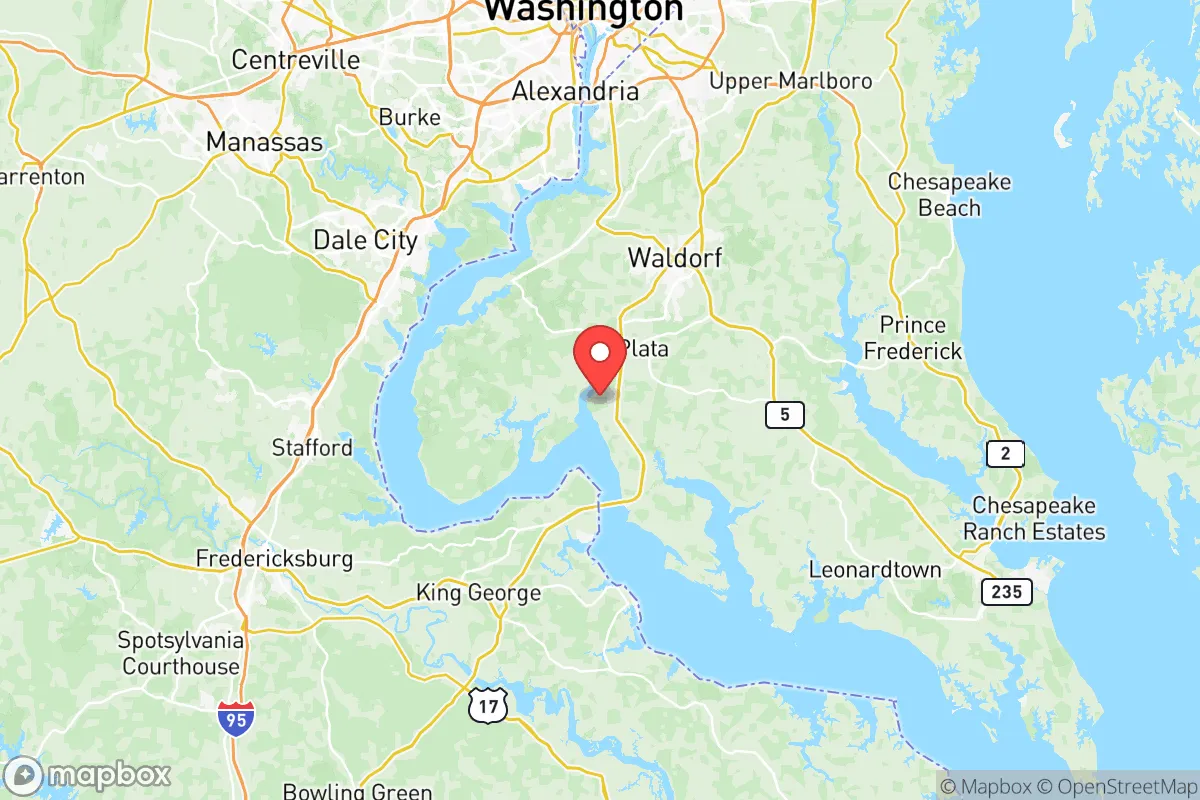
Charles County’s primary geographic advantage is its placement between the Potomac River to the south and the Patuxent River to the east, creating a natural peninsula that limits direct overland approaches from two sides. This water-bounded position provides a buffer against ground-level disruptions and complicates any large-scale evacuation or military movement, which for a prepared resident can mean fewer unexpected population surges. The county’s topography is generally low-lying and wooded, with the highest elevations around the La Plata area reaching only about 200 feet, offering some slight vantage points but no significant mountain terrain. The tidal Potomac and Patuxent estuaries support rich ecosystems and provide ample surface water sources, though these same waterways also introduce flood risks along the rivers and their tributaries, particularly in communities like Indian Head and Port Tobacco. The forested interior, including the sprawling 4,000-acre Cedarville State Forest near the town of Waldorf, offers defensible retreat spaces and a source of timber and game. The county’s geology is primarily coastal plain, with sandy and clay soils that drain quickly after rain but are less suited to deep wells than areas with bedrock aquifers. Overall, the natural setting supports a moderate level of self-reliance, provided one accounts for low-lying flood zones and the lack of high ground for long-range observation.
Risks, exposures, and proximity to fallout-relevant landmarks
The most significant risk for Charles County residents is its proximity to Washington, D.C., located roughly 25 miles north of the county seat of La Plata. In a strategic surprise attack scenario, the National Capital Region is a high-value target for nuclear or EMP strikes, and Charles County lies directly within the expected fallout plume for prevailing winds from the northwest or north. This places the entire county, including dense areas like Waldorf and St. Charles, in a zone where radioactive fallout could arrive within hours, not days. Additionally, the county hosts the Naval Support Facility Indian Head, a 2,400-acre base involved in energetic materials research and ordnance testing, which itself could be a secondary target or produce local hazards if damaged. To the north, Joint Base Andrews in Prince George’s County is a primary military airlift hub and is less than 20 miles from the county line, further concentrating potential targeting. The Potomac River also hosts the Pepco Morgantown Generating Station, a coal and oil-fired power plant just across the river in Virginia, and while not a nuclear reactor, its proximity adds to the industrial risk profile. Natural hazards include flooding along the Potomac and Patuxent—especially during nor’easters and hurricanes—and occasional tornadoes, though Maryland averages fewer than 10 tornadoes annually statewide. The county’s dense suburban corridors near Waldorf increase vulnerability to disruption of supply chains and utilities compared to more rural areas like Nanjemoy or Cobb Island. For a relocator focused on disaster preparedness, the primary exposure is man-made—specifically, being downwind of the D.C. metro area—while natural risks are moderate and manageable with proper land selection.
Practical resilience for a relocator: food, water, energy, and defensibility
In terms of daily practical resilience, Charles County offers both strengths and clear limitations. Food security is moderately achievable: the county retains active farmland, particularly in the Nanjemoy and Port Tobacco areas where small-scale vegetable and livestock operations exist, and a growing network of farmers’ markets operates in Waldorf and La Plata. However, the county’s heavy reliance on suburban grocery chains in the Waldorf corridor means a single distribution disruption could empty shelves quickly. For water, the primary source is the Patuxent River, which supplies the majority of the county’s public drinking water via the Tri-County Water Treatment Plant. Private wells are common in more rural areas and provide a resilient alternative, though well depths average 100-300 feet and can depend on shallow coastal plain aquifers that may be susceptible to saltwater intrusion during prolonged drought or sea-level rise. Energy reliability is a mixed picture: the grid is served by Southern Maryland Electric Cooperative, which has a history of storm-related outages (typically lasting 2-6 hours after major winds), but solar potential is moderate, with about 4.5 peak sun hours per day, and natural gas service is limited in rural zones. Defensibility is the strongest resilience asset—the county’s rivers and forested interior create natural chokepoints on major roads like Route 301 and Route 210, and the low population density in southern areas (Nanjemoy has fewer than 200 people per square mile) offers privacy and withdrawal options. That said, the suburbanized northern half of the county around Waldorf, with its 20,000+ population and major retail centers, would be a liability in a prolonged crisis, encouraging both competition for resources and potential refugee flow from D.C. A well-placed property near a reliable well, southern exposure for solar, and at least a mile from major roads can achieve a high degree of practical self-sufficiency for a small family or individual.
The overall strategic picture for Charles County is one of qualified viability for a preparedness-minded relocator. Its geographic position offers a genuine buffer from the immediate chaos of a D.C.-area event, yet the fallout risk from a nuclear exchange cannot be dismissed—it is a real, sobering factor that demands a proactive personal plan, including potential temporary relocation southward toward Richmond, Virginia, or west into West Virginia if warning time exists. The county’s natural resources—wooded land, water access, and agricultural pockets—support a moderate level of self-reliance, but the suburban development patterns near Waldorf and La Plata reduce overall defensibility and increase dependency on external systems. For individuals and families who value proximity to federal employment and infrastructure while maintaining a serious commitment to preparedness, Charles County represents a middle-ground choice: not as isolated as rural West Virginia, but far more viable than inside the D.C. Beltway. The key is land selection—prioritize well-drained, river-adjacent properties in southern Charles County, verify well yield and solar access, and maintain a mindset that the area’s biggest advantage is its worst risk: being close enough to be useful, far enough to see it coming.

* Values derived from national, state, county, city and local statistics and may differ in a specific area. Last updated: 2026-06-24T18:30:44.000Z
Narrative content on this page is AI-generated and may contain mistakes. Verify any details that matter before acting on them.
ReloMaps may earn a commission from affiliate links at no extra cost to you.

