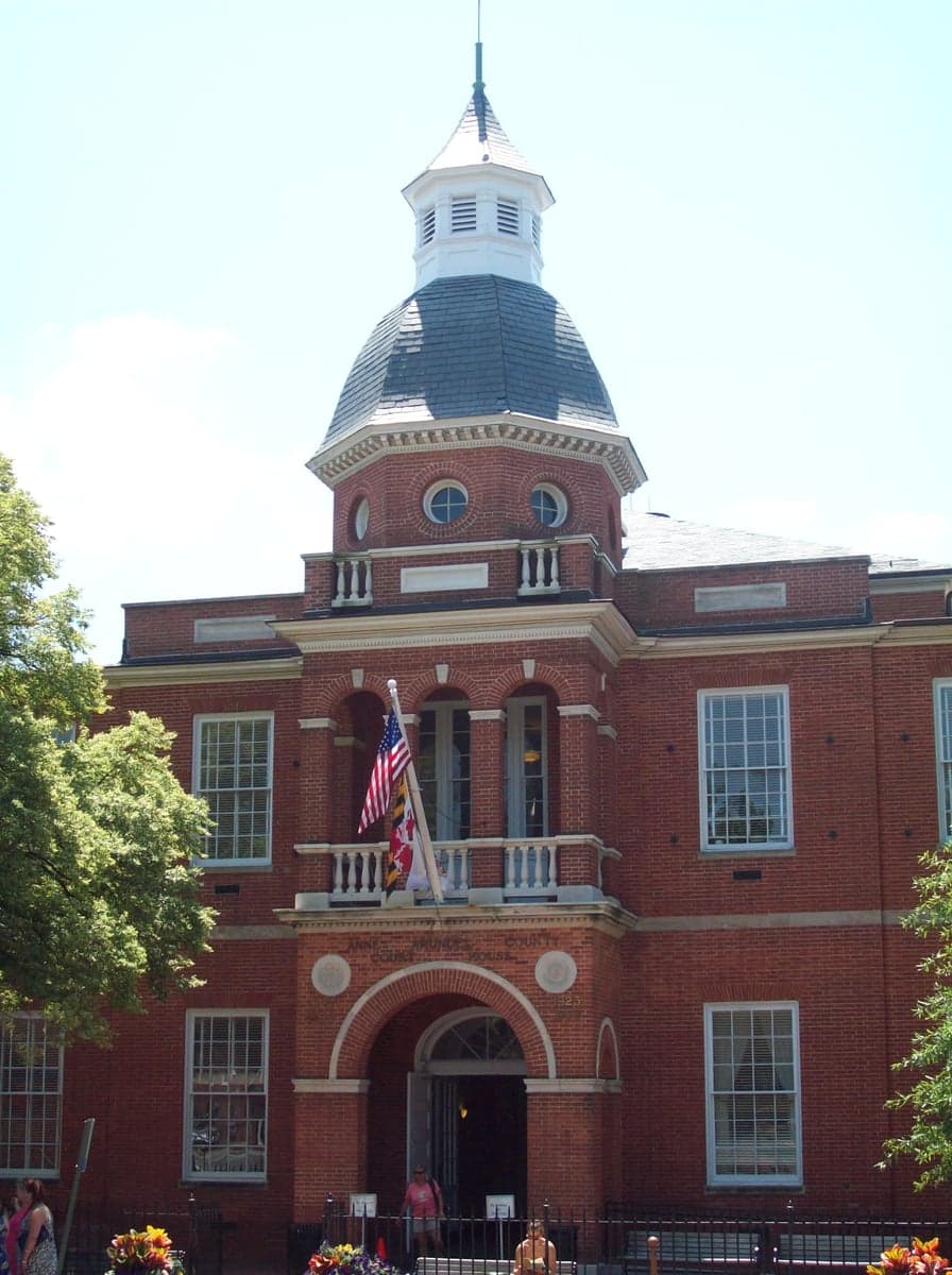
Photo: Wikipedia
Strategic Assessment of Anne Arundel County
Meaningful friction. Expect exposure to either population pressure, blast zones, or natural disaster risk. Consider buying a retreat property.
What does the Strategic Assessment tell us?
Our Strategic Assessment grades tactical survivability of an area. Major population centers, military targets, fallout zones, natural disasters, and border exposure all drive risk — lower exposure means a more defensible position in a crisis.
This is heavily inspired by Joel Skousen's Strategic Relocation book. Highly recommended you checkout the book ($)What does this tell us?
Our Strategic Assessment grades tactical survivability of an area. Major population centers, military targets, fallout zones, natural disasters, and border exposure all drive risk — lower exposure means a more defensible position in a crisis.
This is heavily inspired by Joel Skousen's Strategic Relocation book. Highly recommended you checkout the book ($)Strategic Pillars

Key Distances
Strategic Assessment Analysis
Anne Arundel County, Maryland, presents a complex strategic picture for the relocation-minded individual or family weighing disaster readiness and self-sufficiency. Its position along the Chesapeake Bay offers significant natural advantages in terms of water resources and temperate climate, yet its proximity to the nation’s capital, a major military command center, and critical infrastructure introduces distinct vulnerabilities that demand careful consideration. For the conservative-leaning reader prioritizing resilience, the county is best understood as a buffer zone—close enough to leverage urban resources, but far enough to require a deliberate, independent preparedness posture.
Geographic position and natural advantages for long-term stability
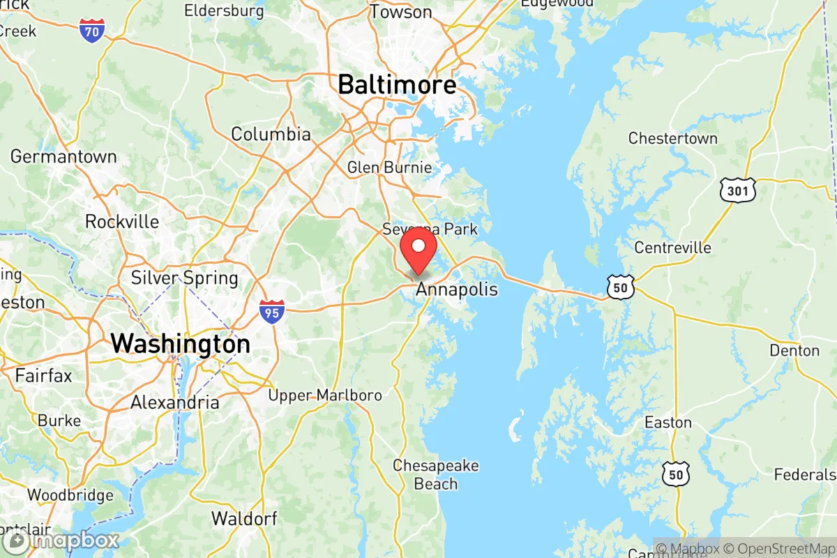
Anne Arundel County’s geography is defined by its 533 miles of shoreline along the Chesapeake Bay and its tributaries, including the Severn, South, and Patuxent rivers. This water-rich environment provides a substantial natural buffer against the sprawl of the Baltimore-Washington corridor. The county’s terrain is predominantly low-lying coastal plain, with elevations rarely exceeding 100 feet, which limits defensible high-ground positions but offers fertile soil and abundant groundwater. The climate is humid subtropical, with mild winters and hot, humid summers—a growing season that supports small-scale agriculture and home gardening from April through October. Key municipalities include Annapolis, the state capital and a historic port city; Glen Burnie, a suburban hub; and Severna Park, a more affluent, wooded community. The county’s position between the Chesapeake Bay to the east and the Patuxent River to the west creates a natural peninsula, which can act as a chokepoint for movement but also limits escape routes in a crisis. For a relocator, the abundance of surface water and arable land is a genuine asset, but the lack of significant elevation means flooding from storm surge or prolonged rainfall is a recurring concern, particularly in coastal communities like Deale and Shady Side.
Risks, exposures, and proximity to fallout-relevant landmarks
The most significant strategic liability for Anne Arundel County is its proximity to high-value, high-risk targets. The county lies roughly 30 miles from Washington, D.C., and 20 miles from Baltimore, both of which are dense population centers with symbolic and governmental importance. Within the county itself, Fort George G. Meade—home to the National Security Agency (NSA) and U.S. Cyber Command—is a primary military installation that would be a likely target in any major conflict. The presence of the NSA alone makes the county a potential fallout zone in a nuclear scenario. Additionally, the Port of Baltimore, located just north of the county line, is a major East Coast shipping hub handling automobiles, containers, and bulk cargo, including hazardous materials. The Cove Point LNG terminal in neighboring Calvert County, while not within Anne Arundel, is a liquefied natural gas facility that could be a secondary target or cause of cascading infrastructure failure. Natural disaster risks are dominated by hurricanes and nor’easters, which can produce storm surges of 6-10 feet in low-lying areas, and by the increasing frequency of “rain bombs”—intense, short-duration rainfall events that overwhelm drainage systems. The county’s reliance on the Chesapeake Bay Bridge (US 50/301) as the primary evacuation route to the Eastern Shore creates a single-point-of-failure vulnerability; a bridge closure during an emergency would trap residents on the western shore. For the preparedness-minded, the concentration of government and military assets within a 30-mile radius is a clear negative, elevating the risk of both direct attack and secondary effects like panic-driven evacuation or supply chain disruption.
Practical resilience for a relocator: food, water, energy, and defensibility
For a relocator focused on self-sufficiency, Anne Arundel County offers a mixed bag. Water access is excellent: the county sits atop the Potomac Group aquifer, which provides reliable groundwater for wells in rural areas, and surface water from the bay and rivers is plentiful, though it requires filtration and treatment for potable use. Rainwater harvesting is feasible given the average 44 inches of annual precipitation. Food production is viable but constrained by suburban development. The county has lost significant farmland over the past 50 years, but small-scale agriculture persists in the southern and western parts, particularly around Davidsonville and Lothian. Community gardens and farmers’ markets are common in Annapolis and Severna Park, but a relocator seeking acreage for a homestead will find land prices high—averaging $400,000-$600,000 for a 5-10 acre parcel—and zoning restrictions that limit livestock and outbuildings in many subdivisions. Energy resilience is a weak point. The grid is served by Baltimore Gas and Electric (BGE), which has a mixed record on storm restoration; outages after major storms can last 3-7 days in rural areas. Solar adoption is growing but remains below the state average, and natural gas is the primary heating fuel for most homes. For defensibility, the county’s suburban character works against it: dense neighborhoods, limited rural road networks, and a high population density (over 1,200 people per square mile in the northern half) make it difficult to secure a perimeter or maintain operational security. The southern part of the county, around the communities of Galesville and Friendship, offers more rural isolation, but these areas are also the most flood-prone. Medical preparedness is a relative strength: the county has three major hospitals—Anne Arundel Medical Center in Annapolis, Baltimore Washington Medical Center in Glen Burnie, and the University of Maryland Medical Center’s shock trauma unit in Baltimore within 30 minutes—but these facilities would be overwhelmed in a mass-casualty event. For a relocator, the practical takeaway is that Anne Arundel County is best suited for those who can afford a well-watered, solar-equipped property in the southern rural zone, with a strong emphasis on stockpiling supplies and developing off-grid skills, as the suburban infrastructure is brittle under stress.
Overall, Anne Arundel County offers a strategic position that balances genuine natural advantages—abundant water, a moderate climate, and proximity to the Chesapeake Bay’s resources—with significant man-made risks tied to its role as a government and military hub. For the conservative-leaning relocator who values self-sufficiency and disaster readiness, the county is not a retreat but a forward operating base: close enough to urban centers to access jobs and services, but requiring a serious investment in independent infrastructure and a clear-eyed understanding of its vulnerabilities. The key decision points are location within the county (south and west are better for resilience), property selection (well water, solar potential, and elevation above flood zones), and a realistic assessment of the risks posed by Fort Meade, the Baltimore-Washington corridor, and the Chesapeake Bay Bridge’s single-point-of-failure. For those willing to invest in preparedness, Anne Arundel County can be a viable long-term home; for those seeking a low-risk, off-grid sanctuary, it is not the right choice.

* Values derived from national, state, county, city and local statistics and may differ in a specific area. Last updated: 2026-07-10T08:39:25.000Z
Narrative content on this page is AI-generated and may contain mistakes. Verify any details that matter before acting on them.
ReloMaps may earn a commission from affiliate links at no extra cost to you.

