 Popular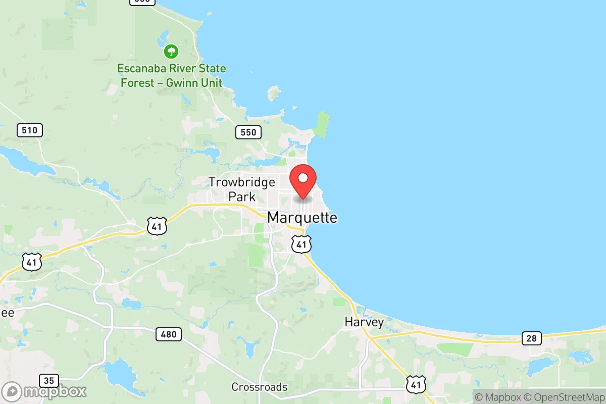
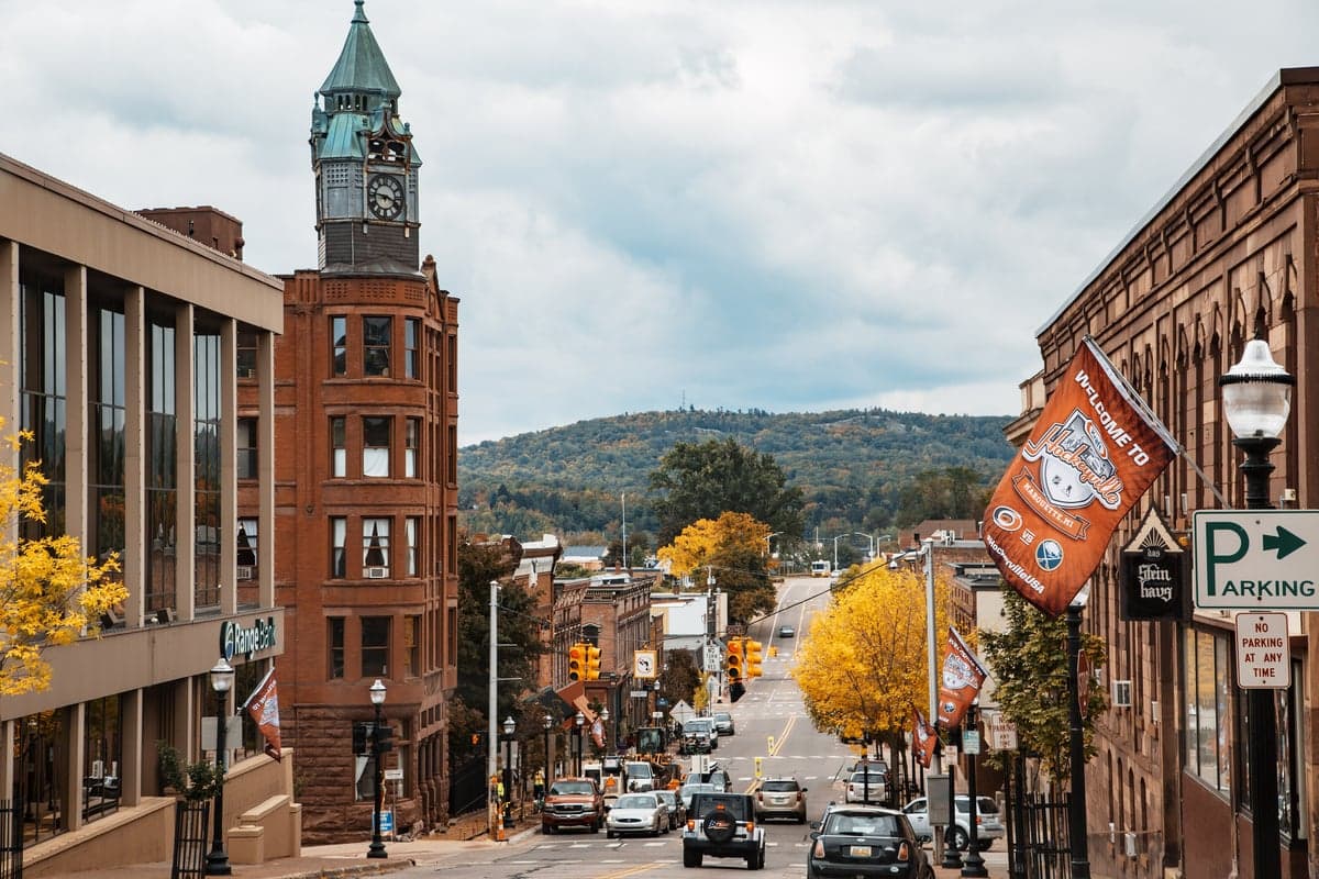
Photo: Wikipedia
Strategic Assessment of Marquette, MI
Meaningful friction. Expect exposure to either population pressure, blast zones, or natural disaster risk. Consider buying a retreat property.
What does the Strategic Assessment tell us?
Our Strategic Assessment grades tactical survivability of an area. Major population centers, military targets, fallout zones, natural disasters, and border exposure all drive risk — lower exposure means a more defensible position in a crisis.
This is heavily inspired by Joel Skousen's Strategic Relocation book. Highly recommended you checkout the book ($)What does this tell us?
Our Strategic Assessment grades tactical survivability of an area. Major population centers, military targets, fallout zones, natural disasters, and border exposure all drive risk — lower exposure means a more defensible position in a crisis.
This is heavily inspired by Joel Skousen's Strategic Relocation book. Highly recommended you checkout the book ($)Strategic Pillars

Key Distances
Regional Safe Places
Below is our recommended "safe zones" in Michigan and the surrounding area based on our strategic heuristics. For most people, it's unrealistic to live in a “safe zone” full-time due to work, family or other personal reasons. They tend to be more rural. However, many of these areas are perfect for second homes and retreat properties that double as a vacation home or even a short-term rental.


Important Note: For informational purposes only. This does not mean nothing bad ever happens in the green zones. Please use common sense. This is based on public data and modeled with AI. We tried to take a conservative approach but mistakes happen. We update this regularly as new information becomes available.
Solar Generator Recommendations
Backup power matters more here than in safer locations. We've picked three solar generators across budgets and capacity tiers — start with the budget unit if you only need a few essentials, or step up if you want to run a fridge and HVAC for days at a time.

Jackery Portable Power Station Explorer 300
Budget OptionPower on the Go: Weighing only 11 lbs, it's convenient to set up and store with book-sized foldable solar panels

BLUETTI Portable Power Station AC180
Designed for both indoor and outdoor scenarios, AC180 is highly capable as it has a robost capacity and continuous output power.

EF ECOFLOW DELTA Pro Ultra Power Station
Upgraded PickEcoFlow DELTA Pro Ultra is a whole-home energy system designed to grow with your family. Integrated with the Smart Home Panel 2, it scales to meet your evolving energy needs — keeping your home powered, intelligent, and secure through every stage of life.
We earn a commission, at no additional cost to you.
Strategic Assessment Analysis
Marquette, Michigan, occupies a unique strategic position on the southern shore of Lake Superior, offering a blend of natural defensibility and relative isolation that appeals to relocation-minded individuals prioritizing resilience and self-sufficiency. Its location, roughly 400 miles northwest of Detroit and 350 miles northeast of Minneapolis, places it well outside the immediate fallout zones of major metropolitan targets, while the vast freshwater resource of Lake Superior provides a critical long-term water security advantage. The city’s population of roughly 20,000, with another 45,000 in the broader Marquette County, creates a small but functional community that can support essential services without the vulnerabilities of dense urban centers.
Geographic position and natural advantages for long-term security
Marquette’s primary strategic asset is its position on Lake Superior, the largest freshwater lake by surface area in the world. This provides an essentially unlimited supply of potable water, a resource that becomes paramount in any prolonged disruption scenario. The surrounding landscape is dominated by the Huron Mountains and extensive national forest lands—the Hiawatha National Forest and Ottawa National Forest are both within an hour’s drive—offering abundant timber for fuel, construction, and natural barriers to movement. The region’s topography, with its ridges, valleys, and dense boreal forest, creates natural chokepoints and defensible terrain that would complicate any large-scale movement through the area. The Keweenaw Peninsula to the north further isolates the region, with only a few major road corridors—primarily US-41 and M-28—serving as access points. This limited road network means that any disruption to these arteries would effectively seal off the area from external threats, though it also means residents must be prepared for potential isolation during winter storms or other events. The deep-water port of Marquette, capable of handling lake freighters, also provides a potential alternative supply route that is less vulnerable to road-based disruptions.
Risks, exposures, and proximity to fallout-relevant landmarks
While Marquette’s distance from major population centers is a net positive for resilience, it is not without exposure to man-made risks. The most significant concern is the K.I. Sawyer Air Force Base, located roughly 20 miles south of Marquette. Though decommissioned in 1995, the site remains a former Strategic Air Command base with underground bunkers and infrastructure that could attract attention in a conflict scenario. More immediately, the Presque Isle Power Plant, a coal-fired facility on the Lake Superior shore in Marquette, represents a potential industrial hazard, though it has been partially decommissioned and converted to natural gas. The region’s proximity to the Soo Locks at Sault Ste. Marie, about 100 miles east, is a double-edged sword: the locks are a critical national infrastructure chokepoint for iron ore shipping from the Mesabi Range, making them a potential target, but Marquette itself is far enough removed to avoid direct blast or fallout effects from a strike there. Natural risks are more immediate and predictable. Lake-effect snow is the dominant weather hazard, with Marquette averaging over 120 inches of snow annually. This creates serious mobility challenges from November through April, but also means residents are accustomed to extended power outages, road closures, and cold-weather preparedness. The region sits in a low seismic zone, with no significant earthquake risk, and tornado activity is minimal compared to the Great Plains. Wildfire risk is moderate, with the surrounding forests posing a threat during dry summers, though the abundant moisture from Lake Superior typically keeps humidity levels high enough to mitigate extreme fire behavior.
Practical resilience for a relocator: food, water, energy, and defensibility
For someone serious about self-sufficiency, Marquette offers a strong baseline but requires deliberate preparation. Water security is excellent: Lake Superior provides an inexhaustible supply, though treatment or filtration will be necessary for drinking. The city’s municipal water system draws from the lake and is well-maintained, but a grid-down scenario would require personal filtration systems or knowledge of natural springs in the surrounding forests. Food production potential is moderate. The growing season is short—roughly 90 to 110 frost-free days—limiting what can be grown outdoors. Cold-hardy crops like potatoes, root vegetables, and certain grains can succeed, and the region has a strong tradition of hunting (white-tailed deer, black bear, small game) and fishing (Lake Superior trout, salmon, and whitefish, plus inland lake species). Foraging for wild berries, mushrooms, and maple syrup is viable but requires knowledge. The local food system is supported by a handful of year-round farmers’ markets and a growing network of small-scale farms, but large-scale agricultural production is absent. Energy resilience is a mixed picture. The region is connected to the Michigan grid, which is vulnerable to ice storms and winter outages. However, the abundance of timber makes wood heat a practical primary or backup heating source, and the area’s relatively low population density means solar panel installation faces fewer shading and regulatory hurdles than in suburban settings. Wind potential is significant along the lakeshore, though winter icing can affect turbine performance. Defensibility is high due to the natural barriers and limited road access. The population is small enough that community cohesion is possible, and the local culture emphasizes self-reliance and outdoor skills. The presence of Northern Michigan University and a regional medical center (UP Health System – Marquette) provides a baseline of education and healthcare that would be valuable in a prolonged disruption. However, the region’s reliance on trucked-in goods for most non-local supplies means that any sustained disruption to the supply chain would require residents to have substantial stored provisions—at least three to six months of food and medical supplies is a prudent target.
The overall strategic picture for Marquette is one of strong natural advantages tempered by practical limitations. Its isolation on the Lake Superior shore, combined with abundant fresh water and forest resources, makes it one of the more defensible and self-sufficient locations in the Midwest for a relocator willing to adapt to a harsh winter climate and a short growing season. The primary risks are not from direct man-made threats but from the logistical challenges of winter survival and the need to pre-position supplies due to the region’s dependence on external supply chains. For a family or individual who values preparedness and is comfortable with cold-weather living, Marquette offers a realistic balance of security and community infrastructure—a place where you can be far enough from the chaos of urban centers while still having access to a functioning hospital, a university, and a port. The key is to arrive with a solid plan for winter heating, water filtration, and food storage, and to integrate into the local network of hunters, gardeners, and outdoor enthusiasts who already practice the kind of resilience that makes this region viable in uncertain times.

* Values derived from national, state, county, city and local statistics and may differ in a specific area. Last updated: 2026-06-16T09:16:45.000Z
Narrative content on this page is AI-generated and may contain mistakes. Verify any details that matter before acting on them.
ReloMaps may earn a commission from affiliate links at no extra cost to you.

