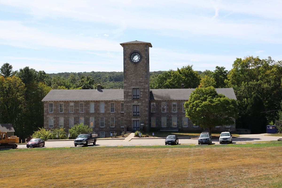
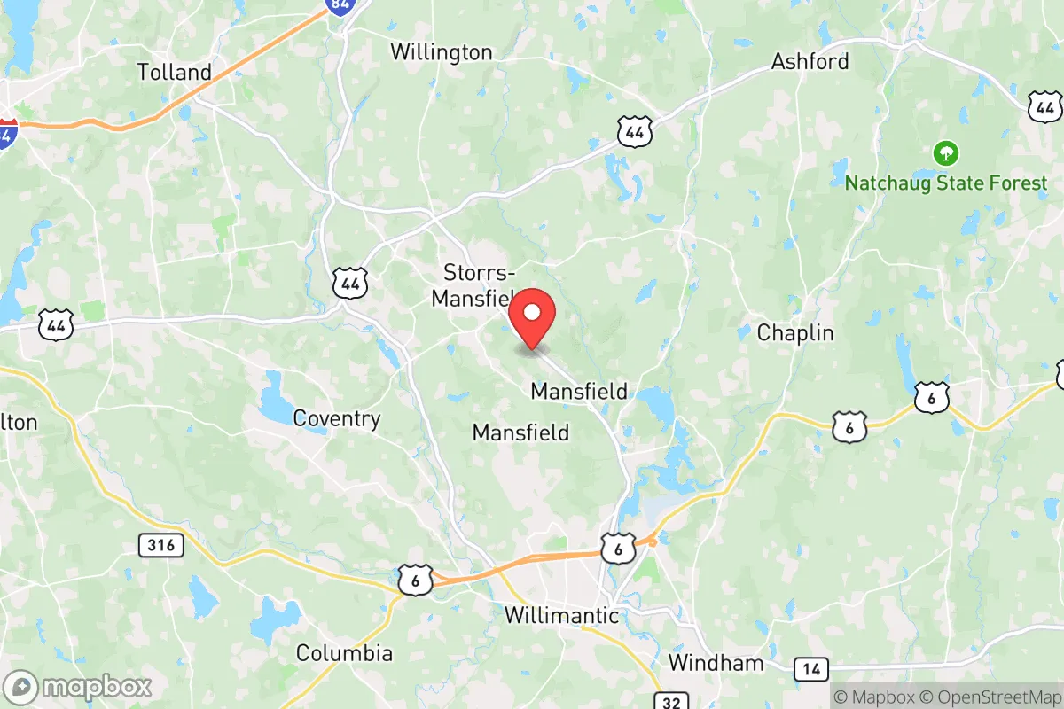
Photo: Wikipedia
Quality of Life in Mansfield, CT
A high quality of life with strong walkability, manageable living costs, healthy neighborhood signals, and solid amenity access.
What does Quality of Life tell us?
Quality of Life blends cost of living, nearby amenities, socioeconomic signals, and neighborhood character. City-level scores represent the whole municipality; individual neighborhoods can differ.
What does this tell us?
Quality of Life blends cost of living, nearby amenities, socioeconomic signals, and neighborhood character. City-level scores represent the whole municipality; individual neighborhoods can differ.
Cost of Living
16% above national average
The Real Cost of Living in Mansfield, CT for 2026
| Tier | Individual | Family (4) |
|---|---|---|
| Survival | $23k | $43k |
| Comfortable | $57k | $84k |
| Luxury | $197k+ | $305k+ |
| Elite (Top 5%) | $232k+ | $359k+ |
158%
* median rent and top-5% income substituted from state-level data — local Census figures unavailable for small populations
The Area Signal
A metric tracking the socioeconomic signals of the area.
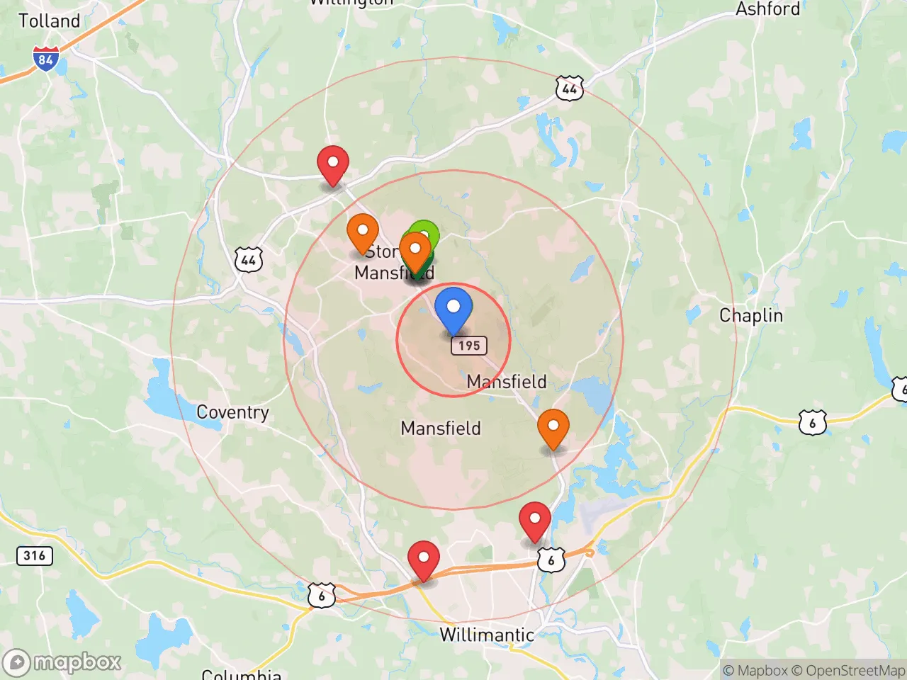
Hobbies
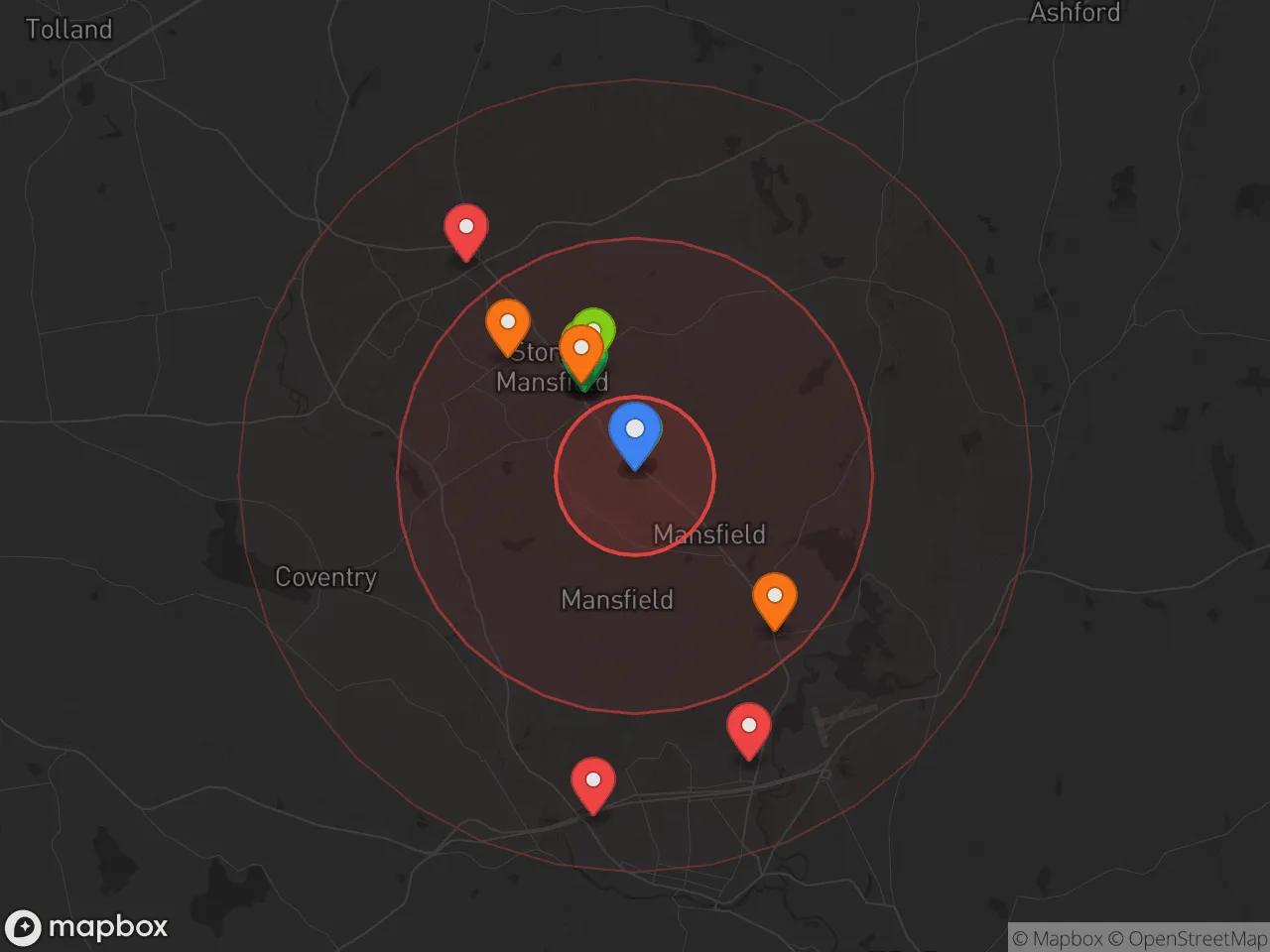
Explore the areaGroceries
0 within 10 miles
Gas
0 within 10 miles
Hospital
0 within 20 miles
Airport
JFK — John F. Kennedy International
Post Office
Critical Amenities
Quality-of-Life Analysis
Mansfield, Connecticut, is an affluent, educated community anchored by the University of Connecticut, where the population skews younger and more transient than the state average, with a median age of just 22.5 years. The town’s cost of living index of 116 (16% above the U.S. average) reflects its position as a desirable, amenity-rich suburb within commuting distance of Hartford and Providence, attracting a mix of university faculty, graduate students, and families seeking top-ranked schools. This blend of academic energy and suburban stability defines daily life here, though the high proportion of renters (roughly 70% of housing units) creates a distinct, less owner-occupied character compared to neighboring towns.
Cost of living, housing affordability, and how Mansfield compares to nearby towns
Housing in Mansfield is the primary driver of its above-average cost of living, though it remains more affordable than many Hartford suburbs. The median home value of $294,300 is roughly 10% below the Connecticut median, while the median rent of $1,431 is competitive for the region, particularly given the large student rental market. Compared to nearby Storrs (home to UConn’s main campus) or upscale towns like Glastonbury (median home value ~$380,000), Mansfield offers a relative bargain for buyers, though inventory is tight and dominated by single-family homes and condos. The average commute of 26.6 minutes is slightly shorter than the state average, with most residents driving to jobs in Hartford (25 minutes), Willimantic (10 minutes), or along the I-84 corridor. Property taxes in Mansfield are moderate for Tolland County, with a mill rate of approximately 28.5 mills, meaning a $294,300 home carries an annual tax bill of roughly $8,400—a key consideration for budget-conscious buyers.
Schools, amenities, and what daily life is like for families and professionals
Mansfield’s public school system is a major draw, with Mansfield Middle School and E.O. Smith High School consistently ranked among the top 20% in Connecticut for academic performance and college readiness. The town’s proximity to UConn provides residents with access to university amenities—libraries, performing arts at the Jorgensen Center, Division I athletics, and continuing education—without the full-time student lifestyle. Daily life revolves around the town’s two main commercial corridors: Storrs Road (Route 195) and the Four Corners area, which host grocery stores, restaurants, and retail. Outdoor recreation is abundant, with Mansfield Hollow State Park and the Nipmuck Trail offering hiking, fishing, and kayaking within a 10-minute drive. The town lacks a traditional downtown, but the nearby village of Willimantic (5 minutes south) provides additional dining and cultural options, including the Willimantic Brewing Company and the Eastern Connecticut Symphony Orchestra. For families, the rhythm is defined by school events, youth sports leagues, and weekend trips to Hartford’s museums or the Connecticut shoreline (45 minutes south).
Mansfield is best suited for those who value academic culture, outdoor access, and a quieter suburban pace without sacrificing proximity to urban jobs. University employees, graduate students, and families prioritizing school quality will find the trade-off of higher housing costs versus excellent schools and low crime rates worthwhile. Retirees and those seeking a bustling nightlife may prefer nearby Hartford or Providence, but for professionals and families who want a safe, educated community with strong public services, Mansfield offers a compelling balance of affordability and quality of life in eastern Connecticut.

Crime in Mansfield, CT
Generally safer than 71% of comparable U.S. locations.
Violent CrimeViolent Crime Analysis
Property CrimeProperty Crime Analysis
Crime Analysis
Mansfield, Connecticut, presents a mixed safety profile that is significantly safer than national averages for violent crime but warrants attention for property crime rates that exceed state benchmarks. With a violent crime rate of 111.2 incidents per 100,000 residents and a property crime rate of 1,159.7 per 100,000, the town offers a relatively low risk of physical assault or robbery compared to the U.S. average of roughly 380 per 100,000. However, property crimes—including burglary, theft, and motor vehicle theft—occur at a frequency that is notably higher than the Connecticut state average of approximately 1,000 per 100,000, making theft-related incidents the primary safety concern for residents and prospective movers.
Crime in context
Mansfield’s violent crime rate is roughly 70% lower than the national average, placing it among the safer small towns in New England for personal safety. The town’s property crime rate, however, sits about 16% above the Connecticut state average and is roughly on par with the national property crime rate of 1,150 per 100,000. This disparity is common in college towns like Mansfield, home to the University of Connecticut’s main campus in Storrs, where transient populations and student housing create opportunities for theft and vandalism. The presence of a large university also means that local law enforcement works in coordination with UConn’s police force, which can complicate response times and jurisdictional clarity during incidents.
What residents experience
Daily life in Mansfield for most residents involves low concern about violent confrontations, but a heightened awareness of property security. The most frequently reported crimes are larceny from vehicles and unlocked residences, particularly in neighborhoods near campus and along the Route 195 corridor. Residents in areas like Gurleyville and the rural sections of town report fewer incidents, while those in the Storrs Center and Hunting Lodge Road areas see more frequent police activity related to theft and noise complaints. The town’s proximity to Hartford and the broader I-84 corridor also means that Mansfield is not immune to regional property crime trends, including occasional vehicle theft rings that target suburban areas.
Neighborhood-level variation is notable. The downtown Storrs area and student-heavy apartment complexes experience property crime rates that can be two to three times higher than the town average, while the more isolated residential zones near Mansfield Hollow State Park and the Willimantic River see rates closer to the state average. For families and long-term residents, the safest pockets are typically the single-family home neighborhoods east of Route 32 and west of the UConn campus, where community watch programs are active and police patrols are more frequent. Prospective renters and buyers should request specific block-level crime data from the Mansfield Police Department, as the town’s overall statistics can mask significant differences between a quiet cul-de-sac and a high-traffic student corridor.
* Values derived from national, state, county, city and local statistics and may differ in a specific area. Last updated: 2026-10-29T02:36:58.000Z
Narrative content on this page is AI-generated and may contain mistakes. Verify any details that matter before acting on them.
ReloMaps may earn a commission from affiliate links at no extra cost to you.

