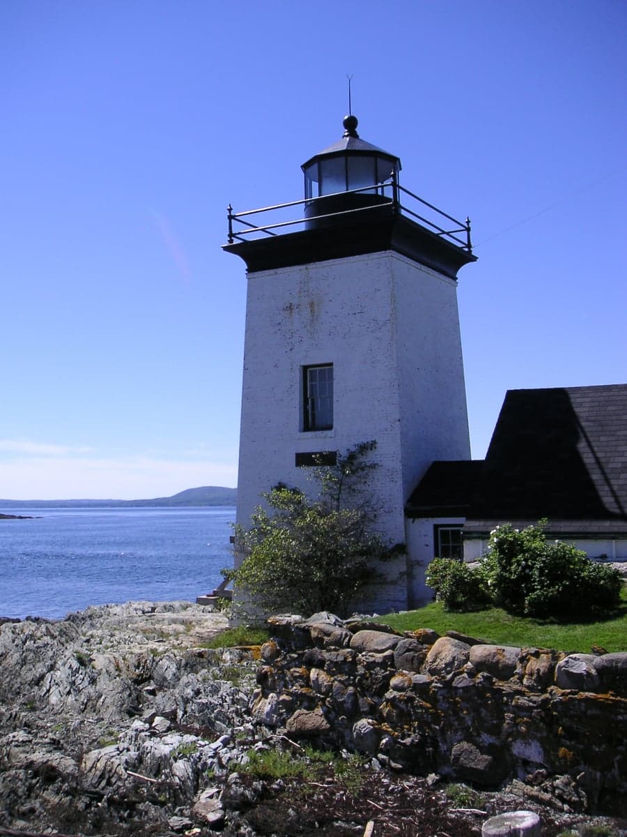
Photo: Wikipedia
Strategic Assessment of Waldo County
Meaningful friction. Expect exposure to either population pressure, blast zones, or natural disaster risk. Consider buying a retreat property.
What does the Strategic Assessment tell us?
Our Strategic Assessment grades tactical survivability of an area. Major population centers, military targets, fallout zones, natural disasters, and border exposure all drive risk — lower exposure means a more defensible position in a crisis.
This is heavily inspired by Joel Skousen's Strategic Relocation book. Highly recommended you checkout the book ($)What does this tell us?
Our Strategic Assessment grades tactical survivability of an area. Major population centers, military targets, fallout zones, natural disasters, and border exposure all drive risk — lower exposure means a more defensible position in a crisis.
This is heavily inspired by Joel Skousen's Strategic Relocation book. Highly recommended you checkout the book ($)Strategic Pillars

Key Distances
Strategic Assessment Analysis
Waldo County, Maine, offers a strategic balance of remoteness and accessibility that appeals to relocation-minded readers focused on resilience and self-sufficiency. Its position roughly midway between Bangor and the mid-coast region provides a buffer from major urban centers while keeping supply routes open, and its low population density—around 39,000 residents spread over 853 square miles—means fewer targets and more elbow room. For a conservative-leaning individual or family weighing disaster readiness, Waldo County presents a credible option, though it requires a clear-eyed look at both its natural defenses and its practical limitations.
Geographic position and natural advantages for long-term stability
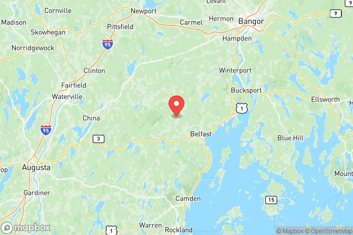
Waldo County sits inland from Penobscot Bay, with its eastern edge touching the tidal waters of the Penobscot River near Bucksport and Verona Island. This location offers a key advantage: access to the Gulf of Maine via the river without the direct coastal exposure that invites storm surge or naval attention. The county’s interior, including towns like Belfast (the county seat), Winterport, and Liberty, is characterized by rolling hills, mixed hardwood-conifer forests, and numerous lakes—including Lake St. George and Megunticook Lake (the latter partly in Knox County). These water bodies provide natural freshwater reserves and support local wildlife, a practical asset for those planning food and water independence. The terrain is not mountainous but offers enough elevation change to create defensible microclimates and reduce flood risk in most areas. The county’s distance from major population centers is a clear plus: Bangor lies about 20 miles north, Augusta about 30 miles west, and Portland roughly 80 miles south. This separation means that a regional disruption—whether natural or man-made—would likely degrade before reaching Waldo County, giving residents time to react.
Risks, exposures, and proximity to fallout-relevant landmarks
No location is immune to risk, and Waldo County has specific exposures that a strategic relocator must weigh. The most notable man-made risk is the Maine Yankee nuclear site in Wiscasset, about 25 miles southwest of Belfast. Though the plant was decommissioned in 2005, the spent fuel remains stored on-site in dry casks—a potential target for sabotage or a long-term contamination hazard if compromised. Additionally, the Penobscot River corridor hosts industrial infrastructure, including the former Verso paper mill in Bucksport (now a biomass and logistics hub) and the Bucksport port, which handles fuel and bulk cargo. A major accident or attack at these facilities could affect downstream communities. Natural risks are moderate: the county lies in a low-seismicity zone, but winter storms and nor’easters can cause prolonged power outages, especially in rural areas like Brooks or Jackson. Flooding is localized along the Penobscot and its tributaries, but most inland towns sit above the 100-year floodplain. Wildfire risk is low due to the damp climate, though drought years (e.g., 2020–2022) have increased the potential for brush fires. For a reader concerned about fallout from a distant event—say, a nuclear incident in Boston or Portsmouth Naval Shipyard—Waldo County’s prevailing westerly winds and 80+ mile buffer offer meaningful dilution, though not zero risk. The absence of major military bases, refineries, or high-value infrastructure within the county itself is a net positive for those seeking to avoid primary or secondary targets.
Practical resilience for a relocator: food, water, energy, and defensibility
Waldo County’s practical resilience hinges on its agricultural base, water abundance, and low population density. The county has a strong farming tradition, with Belfast hosting a year-round farmers’ market and numerous small-scale organic and conventional farms in towns like Thorndike and Unity. For a relocator, this means local food networks exist and can be tapped, though self-sufficiency requires land—most parcels suitable for gardening or livestock are in the 5–20 acre range, with prices averaging $3,000–$6,000 per acre as of 2025. Water is plentiful: private wells are standard in rural areas, with depths typically 100–300 feet yielding reliable groundwater. Surface water from lakes and streams is available but requires treatment. Energy resilience is a mixed picture. The county is served by Versant Power (formerly Emera Maine), and outages are common during storms—some lasting days. Solar adoption is growing, but net metering policies are less favorable than in southern New England, and off-grid setups require battery storage due to long winter nights. Wood heating is widespread, with abundant firewood from local forests, and many homes already have wood stoves or boilers. Defensibility is a function of terrain and community. The rolling hills and dense woods provide natural cover and chokepoints on secondary roads, but the county is not a fortress—there are no natural barriers like rivers or mountains that would funnel movement. The social fabric is a key factor: Waldo County leans conservative relative to coastal Maine, with a mix of libertarian-leaning homesteaders, old-stock Mainers, and a growing number of remote workers. This creates a culture of self-reliance but also potential friction with newcomers who don’t respect local norms. For a family, the school systems in Belfast and Unity are adequate but not exceptional, and healthcare access is limited—Waldo County General Hospital in Belfast is a critical access facility, but major trauma or specialist care requires a 45-minute drive to Bangor.
The overall strategic picture for Waldo County is one of moderate resilience with clear trade-offs. Its geographic isolation from major targets, abundant freshwater, and agricultural capacity make it a viable destination for those prioritizing long-term stability over convenience. The risks—proximity to the Maine Yankee spent fuel, winter storm vulnerability, and limited healthcare—are manageable with planning and investment. For a conservative-leaning relocator who values self-sufficiency and community independence, Waldo County offers a solid foundation, provided they are willing to adapt to a rural, cold-climate lifestyle and build relationships with the existing population. It is not a bug-out location for a short-term crisis, but a place to put down roots and weather the slow-burn challenges of the coming decades.

* Values derived from national, state, county, city and local statistics and may differ in a specific area. Last updated: 2026-06-18T00:50:42.000Z
Narrative content on this page is AI-generated and may contain mistakes. Verify any details that matter before acting on them.
ReloMaps may earn a commission from affiliate links at no extra cost to you.

