
Photo: Wikipedia
Strategic Assessment of Cumberland County
Multiple tactical vulnerabilities. Population density, target proximity, or disaster risk are likely compounding. A retreat property and exit planning is required.
What does the Strategic Assessment tell us?
Our Strategic Assessment grades tactical survivability of an area. Major population centers, military targets, fallout zones, natural disasters, and border exposure all drive risk — lower exposure means a more defensible position in a crisis.
This is heavily inspired by Joel Skousen's Strategic Relocation book. Highly recommended you checkout the book ($)What does this tell us?
Our Strategic Assessment grades tactical survivability of an area. Major population centers, military targets, fallout zones, natural disasters, and border exposure all drive risk — lower exposure means a more defensible position in a crisis.
This is heavily inspired by Joel Skousen's Strategic Relocation book. Highly recommended you checkout the book ($)Strategic Pillars

Key Distances
Strategic Assessment Analysis
Cumberland County, Maine, presents a compelling but nuanced strategic picture for the relocation-minded reader prioritizing resilience and self-sufficiency. Its position on the coast of southern Maine offers a mix of natural advantages and significant exposure, anchored by the economic and logistical hub of Portland while offering a buffer from the densest corridors of the Eastern Seaboard. For the individual or family weighing disaster readiness, the county’s value lies in its access to fresh water, arable land, and a diversified local economy, but its proximity to Portland, the Portsmouth Naval Shipyard in neighboring Kittery, and the region’s energy infrastructure demands a clear-eyed assessment of both opportunity and risk.
Geographic position and natural advantages for long-term stability
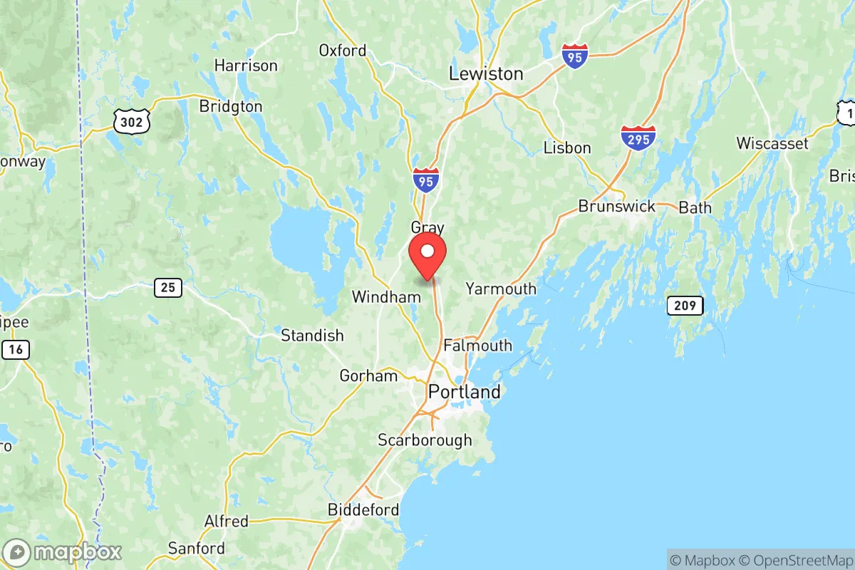
Cumberland County’s geography is defined by its coastal frontage on Casco Bay and its inland reach toward the Sebago Lake region. The county’s most significant natural asset is its abundant freshwater supply: Sebago Lake, the second-largest lake in Maine, serves as the primary drinking water source for Portland and surrounding towns, including Windham, Gorham, and Falmouth. For a relocator concerned with water security, this is a major plus — the lake is deep, well-regulated, and less vulnerable to contamination than surface sources in more industrialized regions. The terrain is a mix of rolling hills, forest, and coastal lowlands, offering defensible inland properties within a 20- to 30-minute drive from the coast. The county’s position roughly 100 miles north of Boston places it outside the immediate blast and fallout zones of a major metropolitan target, while still providing access to urban medical and supply networks. The climate is cold and snowy in winter, which acts as a natural deterrent to population surges and reduces the viability of many vector-borne diseases, though it also imposes heating fuel dependencies and seasonal isolation risks for poorly prepared households.
Risks, exposures, and proximity to potential fallout-relevant landmarks
The most significant strategic vulnerability for Cumberland County is its proximity to Portland, the state’s largest city and a primary economic and transportation node. Portland’s port handles a substantial volume of petroleum products, and the city is a hub for rail and highway corridors that connect to the rest of New England. A major incident at the port or along the I-95/I-295 corridor could disrupt supply chains and create evacuation or displacement pressures. Additionally, the Portsmouth Naval Shipyard, located roughly 50 miles south in Kittery, is a nuclear-capable maintenance facility for the U.S. Navy’s submarine fleet. While not a likely primary target in a limited conflict, its strategic value makes it a secondary risk for fallout patterns depending on prevailing winds — which in this region typically blow from the west and northwest, meaning fallout from a strike on the shipyard would likely be carried out to sea or toward less populated coastal areas, not inland toward Cumberland County. The county also hosts the Wyman Oil Terminal in South Portland and the Portland International Jetport, both of which are potential secondary targets or points of disruption. Natural risks include coastal storm surge from nor’easters and hurricanes — areas like Scarborough and Cape Elizabeth are exposed — and the potential for ice storms that can knock out power for days or weeks. The county is not in a major seismic zone, and wildfire risk is low compared to the western U.S., though dry summers can produce localized brush fires.
Practical resilience for a relocator: food, water, energy, and defensibility
For the relocator serious about self-sufficiency, Cumberland County offers a mixed but workable environment. Food security is supported by a robust local farming community — the county has dozens of working farms, particularly in the towns of Gray, New Gloucester, and Standish, which produce dairy, vegetables, and livestock. Farmers’ markets are common, and the growing season runs roughly from May to October, with cold-hardy crops extending into early winter. Soil quality varies but is generally adequate for small-scale agriculture with proper amendment. Water security is excellent for properties with well access, and surface water is plentiful in the form of ponds, streams, and lakes — though filtration and boiling are recommended for any untreated source. Energy resilience is a weaker point: the region relies heavily on the New England grid, which has faced reliability challenges during extreme cold events. Natural gas, heating oil, and propane are the primary heating fuels, and households without backup generation or wood heat are vulnerable to prolonged outages. Solar potential is moderate — winter cloud cover and short daylight hours reduce output, but summer generation can offset grid dependence. Defensibility is best in the inland towns, where properties on larger lots with tree cover and limited road access offer natural security. Coastal and suburban areas — particularly around Portland, South Portland, and Westbrook — are more population-dense and harder to secure. The county’s population of roughly 300,000 is concentrated in the Portland metro, leaving large swaths of the northern and western parts of the county relatively low-density and suitable for a more self-reliant lifestyle.
Overall, Cumberland County offers a strategic middle ground for the relocation-minded reader: close enough to urban infrastructure for supply access and medical care, but far enough from primary targets to avoid the worst of a major event’s immediate effects. Its freshwater abundance and agricultural base are genuine advantages, while its energy dependencies and coastal exposure are the primary liabilities. For a family or individual willing to invest in backup power, heating fuel storage, and a property inland from the coast, the county provides a defensible, resource-rich environment that balances accessibility with a meaningful degree of separation from the densest risk zones of the Northeast. The key is to choose location carefully — inland towns like Gray, Standish, or New Gloucester offer a far more resilient posture than coastal suburbs like Scarborough or Cape Elizabeth, and proximity to Portland should be viewed as a convenience to be managed, not a feature to rely upon in a crisis.

* Values derived from national, state, county, city and local statistics and may differ in a specific area. Last updated: 2026-07-12T08:32:58.000Z
Narrative content on this page is AI-generated and may contain mistakes. Verify any details that matter before acting on them.
ReloMaps may earn a commission from affiliate links at no extra cost to you.

