Photo: Wikipedia
Strategic Assessment of Madera, CA
Meaningful friction. Expect exposure to either population pressure, blast zones, or natural disaster risk. Consider buying a retreat property.
What does the Strategic Assessment tell us?
Our Strategic Assessment grades tactical survivability of an area. Major population centers, military targets, fallout zones, natural disasters, and border exposure all drive risk — lower exposure means a more defensible position in a crisis.
This is heavily inspired by Joel Skousen's Strategic Relocation book. Highly recommended you checkout the book ($)What does this tell us?
Our Strategic Assessment grades tactical survivability of an area. Major population centers, military targets, fallout zones, natural disasters, and border exposure all drive risk — lower exposure means a more defensible position in a crisis.
This is heavily inspired by Joel Skousen's Strategic Relocation book. Highly recommended you checkout the book ($)Strategic Pillars

Key Distances
Regional Safe Places
Below is our recommended "safe zones" in California and the surrounding area based on our strategic heuristics. For most people, it's unrealistic to live in a “safe zone” full-time due to work, family or other personal reasons. They tend to be more rural. However, many of these areas are perfect for second homes and retreat properties that double as a vacation home or even a short-term rental.




Important Note: For informational purposes only. This does not mean nothing bad ever happens in the green zones. Please use common sense. This is based on public data and modeled with AI. We tried to take a conservative approach but mistakes happen. We update this regularly as new information becomes available.
Solar Generator Recommendations
Backup power matters more here than in safer locations. We've picked three solar generators across budgets and capacity tiers — start with the budget unit if you only need a few essentials, or step up if you want to run a fridge and HVAC for days at a time.

Jackery Portable Power Station Explorer 300
Budget OptionPower on the Go: Weighing only 11 lbs, it's convenient to set up and store with book-sized foldable solar panels

BLUETTI Portable Power Station AC180
Designed for both indoor and outdoor scenarios, AC180 is highly capable as it has a robost capacity and continuous output power.

EF ECOFLOW DELTA Pro Ultra Power Station
Upgraded PickEcoFlow DELTA Pro Ultra is a whole-home energy system designed to grow with your family. Integrated with the Smart Home Panel 2, it scales to meet your evolving energy needs — keeping your home powered, intelligent, and secure through every stage of life.
We earn a commission, at no additional cost to you.
Strategic Assessment Analysis
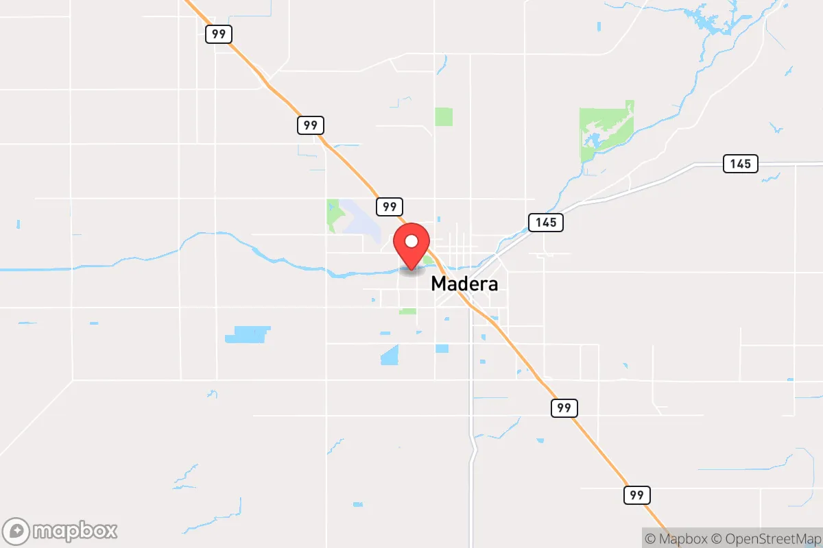
Madera, California, sits in a geographic pocket that offers a mixed strategic picture for the relocation-minded reader focused on resilience and self-sufficiency. Located roughly 25 miles northwest of Fresno in the San Joaquin Valley, Madera benefits from a position that is close enough to a major metro for supply access and employment, yet far enough to avoid the immediate blast radius of a high-value target like a major port or military installation. The area’s agricultural foundation, water infrastructure, and relatively low population density (around 67,000 in the city, with the county at roughly 160,000) provide a baseline of practical resilience, but its location in California’s Central Valley also introduces specific vulnerabilities that a serious relocator must weigh.
Geographic position and natural advantages for long-term stability
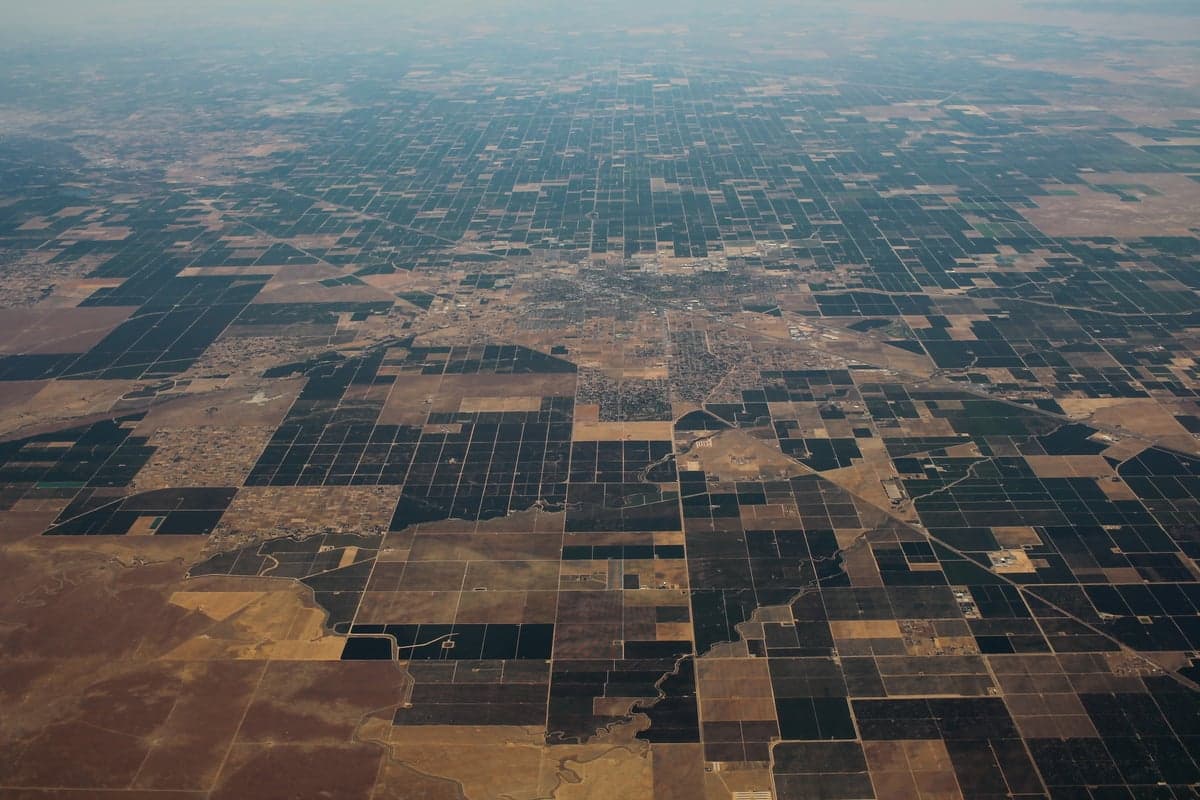
Madera’s primary strategic asset is its position within the San Joaquin Valley’s agricultural heartland, one of the most productive food-growing regions in the world. The city sits on the eastern edge of the valley floor, with the Sierra Nevada foothills rising about 15 miles to the east. This proximity to the mountains offers a natural buffer against coastal threats—tsunamis, sea-level rise, and direct nuclear fallout from a strike on a coastal city like San Francisco or Los Angeles are significantly attenuated by the 100+ miles of distance and the intervening Coast Ranges. The valley’s flat terrain also means that evacuation routes (primarily State Route 99 and State Route 41) are straightforward, though they can become congested during emergencies. The local climate is Mediterranean, with hot, dry summers and cool, wet winters, which supports year-round agriculture but also creates a reliance on irrigation from the Sierra snowpack—a system that has proven vulnerable to drought cycles. For a relocator, the key advantage is that Madera is not a primary target for a strategic strike; it lacks major military bases, ports, or high-value industrial complexes that would draw a first-wave attack. The area’s low seismic risk compared to coastal California is another plus—the major fault lines (San Andreas, Hayward) are west of the Coast Ranges, so Madera experiences only minor shaking from distant quakes.
Exposure to natural and man-made risks, including proximity to fallout-relevant landmarks
The most significant risk for Madera is its location in a region that could be affected by fallout from a strike on a higher-value target. Fresno, 25 miles south, is a regional transportation and logistics hub with a major airport (FAT), rail yards, and a population of over 540,000. While not a primary strategic target like a naval base or ICBM silo, Fresno’s size and infrastructure make it a plausible secondary target in a large-scale conflict. Prevailing winds in the Central Valley typically blow from the west or northwest, meaning fallout from a strike on the Bay Area (about 150 miles west) could drift inland, though the Coast Ranges would provide significant shielding. More concerning is the Diablo Canyon Nuclear Power Plant (about 130 miles southwest) and the San Onofre Nuclear Generating Station (decommissioned but still storing spent fuel, about 200 miles south). A catastrophic release from either would likely affect the coastal plain more than the valley, but it’s a non-zero risk. On the natural disaster front, Madera faces periodic drought and flood risks. The city lies within the floodplain of the Fresno River and Cottonwood Creek, and heavy winter storms can cause localized flooding. Wildfire risk is moderate in the urban area but increases sharply in the foothills to the east, where the 2020 Creek Fire burned over 379,000 acres within 30 miles. For a relocator, the practical takeaway is that Madera is not a high-risk zone for immediate man-made catastrophe, but it sits within a region that could experience secondary effects—fallout drift, supply chain disruption, and population displacement from coastal areas—during a major crisis.
Practical resilience for a relocator: food, water, energy, and defensibility
Madera’s strongest resilience feature is its direct access to local food production. The surrounding county is a top producer of almonds, grapes, pistachios, tomatoes, and dairy products. Farmers’ markets operate year-round, and the city has several grocery stores and bulk-food retailers (WinCo, Costco in Fresno) within a 30-minute drive. For a self-sufficient household, the ability to buy directly from farms or join a CSA (community-supported agriculture) program is a real advantage. Water is a more complex issue. Madera relies on groundwater from the Madera Subbasin, which has been over-drafted for decades, leading to land subsidence and declining well levels. The Sustainable Groundwater Management Act (SGMA) is forcing reductions in pumping, which could affect long-term agricultural viability. For a relocator, a home with a private well is a major asset, but the depth and yield of that well must be verified—many older wells are going dry. The city’s municipal water supply comes from a mix of groundwater and surface water from the Friant-Kern Canal, which is vulnerable to drought and regulatory cutbacks. Energy reliability is decent: Madera is served by Pacific Gas & Electric (PG&E), which has a mixed record with public safety power shutoffs (PSPS) during high-wind wildfire conditions. However, the valley floor is less prone to the extreme fire weather that triggers widespread shutoffs in the Sierra foothills. Solar potential is excellent—the area averages over 260 sunny days per year—making rooftop solar plus battery storage a viable path to energy independence. Defensibility is moderate. The city’s grid layout and flat terrain offer few natural chokepoints, but the surrounding agricultural land provides a buffer of open space. For a relocator seeking a rural retreat, the foothills east of Madera (areas like Oakhurst or Coarsegold) offer better defensibility with their mountainous terrain, though at the cost of higher wildfire risk and longer supply lines.
The overall strategic picture for Madera is one of moderate resilience with specific trade-offs. It offers a genuine agricultural foundation, low direct-target risk, and a climate that supports renewable energy and food production—all strong positives for a disaster-ready relocator. The downsides are the region’s water vulnerability, its proximity to a secondary target (Fresno), and the potential for fallout drift from coastal strikes. For a family or individual willing to invest in a private well, solar power, and a well-stocked pantry, Madera provides a workable base that balances access to urban resources with a degree of separation from the highest-risk zones. It is not a bug-out location in the remote sense, but it is a defensible, productive piece of the Central Valley that could sustain a prepared household through most regional disruptions. The key is to go in with eyes open: verify water rights, secure your own energy, and build a local network with the farming community. Madera rewards preparation, but it punishes complacency.

* Values derived from national, state, county, city and local statistics and may differ in a specific area. Last updated: 2026-09-19T04:53:43.000Z
Narrative content on this page is AI-generated and may contain mistakes. Verify any details that matter before acting on them.
ReloMaps may earn a commission from affiliate links at no extra cost to you.

