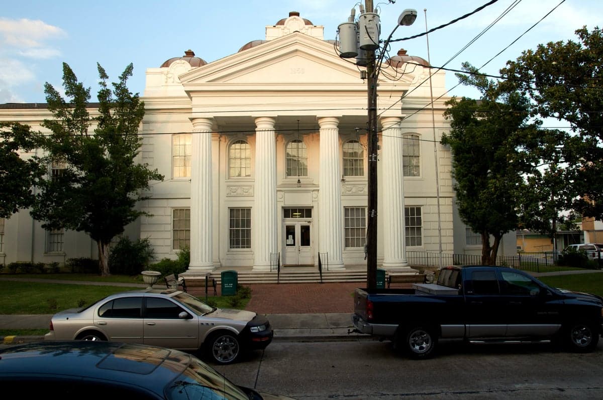
Photo: Wikipedia
Strategic Assessment of Lafourche County
Meaningful friction. Expect exposure to either population pressure, blast zones, or natural disaster risk. Consider buying a retreat property.
What does the Strategic Assessment tell us?
Our Strategic Assessment grades tactical survivability of an area. Major population centers, military targets, fallout zones, natural disasters, and border exposure all drive risk — lower exposure means a more defensible position in a crisis.
This is heavily inspired by Joel Skousen's Strategic Relocation book. Highly recommended you checkout the book ($)What does this tell us?
Our Strategic Assessment grades tactical survivability of an area. Major population centers, military targets, fallout zones, natural disasters, and border exposure all drive risk — lower exposure means a more defensible position in a crisis.
This is heavily inspired by Joel Skousen's Strategic Relocation book. Highly recommended you checkout the book ($)Strategic Pillars

Key Distances
Strategic Assessment Analysis
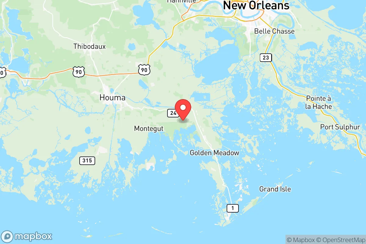
Lafourche County, Louisiana, presents a complex strategic picture for the relocation-minded reader prioritizing disaster readiness and self-sufficiency. Its position in the southeastern part of the state, roughly 50 miles southwest of New Orleans and 60 miles south of Baton Rouge, offers a mix of genuine geographic advantages and significant, unavoidable exposures. For the conservative-leaning individual or family weighing long-term security, the county's resilience is defined by its access to the Gulf of Mexico, its role in America's energy infrastructure, and its distance from the most densely populated urban cores, though proximity to critical industrial and military assets introduces distinct risk factors.
Geographic position and natural advantages for long-term security
Lafourche County's geography is defined by the Bayou Lafourche corridor, a natural ridge that has historically concentrated settlement and infrastructure. This linear layout, stretching from the town of Thibodaux in the north down to Port Fourchon at the Gulf's edge, creates a defensible, chokepoint-oriented population distribution. The county is not a sprawling suburban expanse; it is a narrow band of higher ground flanked by vast wetlands and swamps. For a relocator, this means that the majority of the population and key resources are aligned along a single, manageable axis, which simplifies both community cohesion and potential security perimeters. The surrounding marshlands act as a natural buffer against overland approach, a significant advantage in scenarios involving civil disruption or large-scale population movement. Furthermore, the area's subtropical climate supports a long growing season, a critical factor for self-sufficiency. The soil in the bayou bottomlands, while requiring management, is fertile, and the proximity to the Gulf provides an immense, renewable protein source. The county's position also places it outside the immediate blast and thermal zones of major strategic targets like the NASA Michoud Assembly Facility in New Orleans East or the Baton Rouge petrochemical corridor, offering a degree of separation from primary fallout dangers.
Risk exposure and proximity to fallout-relevant landmarks
The same geography that provides natural buffers also concentrates risk. Lafourche County is not a remote hinterland; it is a linchpin of the U.S. energy sector. Port Fourchon services over 90% of the Gulf of Mexico's deepwater oil and gas production, making it one of the most strategically critical pieces of infrastructure in the country. The Louisiana Offshore Oil Port (LOOP), the only U.S. port capable of offloading deep-draft tankers, is located just offshore. For a relocator, this means living in a county that is a high-value target in any conflict involving energy disruption. The Houma Navigation Canal and the network of pipelines running through the parish are tangible, vulnerable assets. Additionally, the county's coastal exposure makes it acutely vulnerable to natural hazards. Hurricane storm surge is the primary existential threat, with the low-lying southern portions of the parish, including Leeville and Golden Meadow, facing direct inundation risk. The county's position relative to the Naval Air Station Joint Reserve Base New Orleans in Belle Chasse, about 40 miles northeast, also places it within a potential secondary fallout zone or evacuation corridor. While not a primary target, the base's presence means that a relocator must consider the possibility of military traffic, airspace restrictions, and population displacement from the New Orleans metro area flowing south along Highway 1, the single road in and out of the southern parish.
Practical resilience for a relocator: food, water, energy, and defensibility
For the self-sufficiency-minded individual, Lafourche County offers a mixed but workable baseline. Water is abundant but requires treatment; the bayou and groundwater are present, but saltwater intrusion is a growing issue, particularly in the southern reaches. A relocator would need to plan for well depth, cisterns, or advanced filtration. Food security is genuinely strong. The local culture is built around hunting, fishing, and small-scale agriculture. The Lafourche Parish Crawfish Festival in Larose is emblematic of a food system that is not entirely dependent on industrial supply chains. The wetlands provide year-round game, and the Gulf offers finfish and shellfish. However, this bounty is seasonal and requires knowledge; a newcomer cannot rely on it without learning the local ecology. Energy is a double-edged sword. The county sits on top of natural gas reserves and is crisscrossed by pipelines, meaning that in a grid-down scenario, local natural gas for heating and cooking is more accessible than in most of the country. However, the centralized nature of the energy infrastructure also makes it a target. Defensibility is the county's strongest card. The single road network (Highway 1 and Highway 308) creates natural chokepoints. The bayou itself is a barrier. The population is dispersed along the ridge, not clustered in a single vulnerable city. The county seat, Thibodaux, with its Nicholls State University campus and regional medical center, provides a central node for community organization without the density of a major city. The local culture, heavily Cajun and independent-minded, tends toward self-reliance and mutual aid, which is a soft but critical resilience factor.
The overall strategic picture for Lafourche County is one of high reward paired with high, but manageable, risk. It is not a location for someone seeking complete isolation from national infrastructure or natural hazards. It is, however, a location for a relocator who understands that resilience is about positioning within a system, not escaping it. The county offers genuine advantages in food production, water access, and natural defensibility that are rare in the Gulf South. Its critical role in national energy security is a vulnerability, but it also means that the area receives a level of infrastructure investment and federal attention that more remote locations lack. For the conservative-leaning family that values community, self-sufficiency, and a connection to a working landscape, Lafourche County represents a viable strategic option, provided they are prepared for the realities of coastal living and the responsibilities of residing near nationally significant infrastructure. The key is to locate on the higher ground of the northern parish, build a robust water and energy plan, and integrate into the existing community networks rather than attempting to go it alone.

* Values derived from national, state, county, city and local statistics and may differ in a specific area. Last updated: 2026-06-27T16:03:39.000Z
Narrative content on this page is AI-generated and may contain mistakes. Verify any details that matter before acting on them.
ReloMaps may earn a commission from affiliate links at no extra cost to you.

