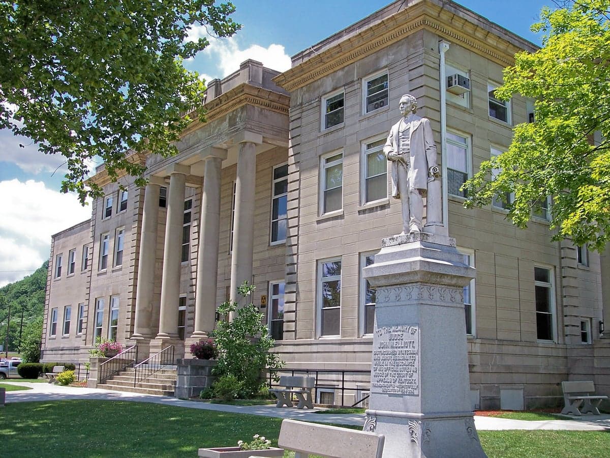
Photo: Wikipedia
Strategic Assessment of Boyd County
Workable tactical position. Some exposure to population density or targets, but generally defensible in a crisis.
What does the Strategic Assessment tell us?
Our Strategic Assessment grades tactical survivability of an area. Major population centers, military targets, fallout zones, natural disasters, and border exposure all drive risk — lower exposure means a more defensible position in a crisis.
This is heavily inspired by Joel Skousen's Strategic Relocation book. Highly recommended you checkout the book ($)What does this tell us?
Our Strategic Assessment grades tactical survivability of an area. Major population centers, military targets, fallout zones, natural disasters, and border exposure all drive risk — lower exposure means a more defensible position in a crisis.
This is heavily inspired by Joel Skousen's Strategic Relocation book. Highly recommended you checkout the book ($)Strategic Pillars

Key Distances
Strategic Assessment Analysis
Boyd County, Kentucky, offers a compelling strategic position for relocators prioritizing resilience and self-sufficiency, balancing the advantages of a small-city anchor with the practical challenges of Appalachian geography. Anchored by the city of Ashland, the county sits at the confluence of the Big Sandy River and the Ohio River, placing it within a day’s drive of multiple major metropolitan areas while remaining distinctly rural and low-density. For a reader thinking seriously about disaster readiness, Boyd County’s mix of industrial infrastructure, natural resources, and relative isolation from primary target zones makes it a location worth a hard, grounded look.
Geographic position and natural advantages for long-term stability
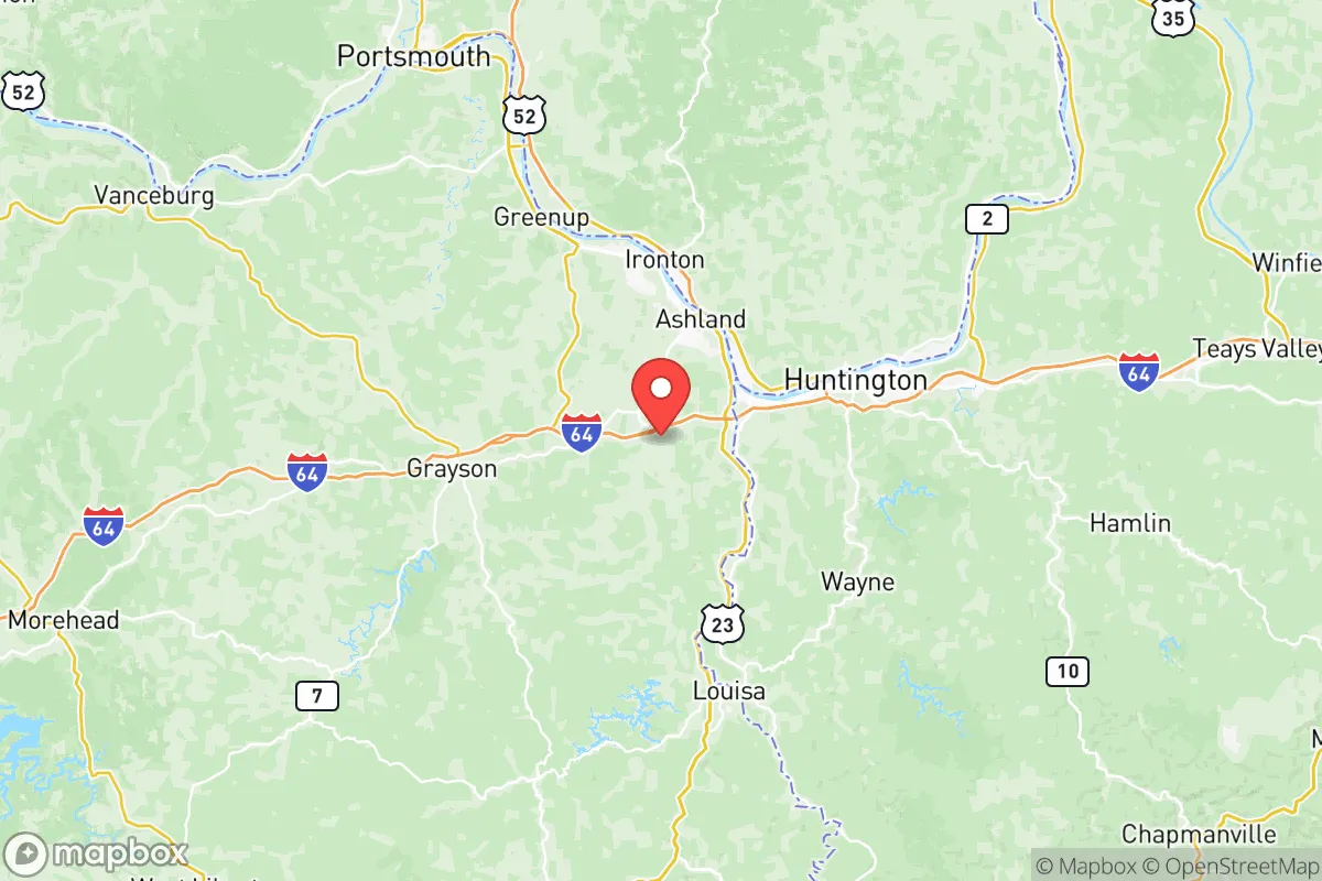
Boyd County’s location is its strongest card. It lies in the Eastern Kentucky Coalfields, a region of rolling hills, narrow valleys, and dense hardwood forest, which provides natural cover and defensible terrain. The county is roughly 160 miles east of Lexington and 140 miles west of Charleston, West Virginia, placing it outside the immediate blast and fallout zones of any major city likely to be targeted in a conflict. The Ohio River border with Ohio means the county has direct access to a major inland waterway, which historically has been a lifeline for transport and trade. The nearby Greenup Locks and Dam (just north in Greenup County) ensures the river remains navigable and provides a reliable water source. The terrain itself—steep ridges and hollows—makes large-scale military movement difficult and offers numerous natural chokepoints for anyone concerned with perimeter security. The county’s elevation, averaging around 600 to 900 feet, keeps it above floodplains for the most part, though low-lying areas along the Ohio and Big Sandy are flood-prone.
Risks, exposures, and proximity to fallout-relevant landmarks
No strategic assessment is honest without naming the liabilities. Boyd County’s industrial heritage is a double-edged sword. The Marathon Petroleum refinery in Catlettsburg (just west of Ashland, actually in Boyd County) is a major fixed-site hazard. It processes roughly 250,000 barrels of crude oil per day and is a prime target for any adversary seeking to disrupt fuel supplies. A direct hit or major accident at the refinery would produce a significant toxic plume and could contaminate the Ohio River for miles downstream. Additionally, the county is within 50 miles of the Portsmouth Gaseous Diffusion Plant in Piketon, Ohio—a decommissioned uranium enrichment site that still holds massive quantities of radioactive waste. A conventional or sabotage event there could send fallout into Boyd County depending on wind patterns. The Big Sandy River itself is a major barge route for coal and chemicals, meaning a spill or attack on a barge could cut off water access. On the natural disaster side, the region is in a moderate seismic zone—the New Madrid Seismic Zone is about 350 miles west, but a major quake there could damage the Ohio River locks and levees, disrupting river transport and potentially causing flooding. Tornado risk is real but lower than the Plains; the county averages 2-3 tornado warnings per year, mostly EF-0 to EF-1.
Practical resilience for a relocator: food, water, energy, and defensibility
For someone looking to live off-grid or semi-independently, Boyd County offers real advantages. Water is abundant: the Ohio River is a massive, year-round source, and the county’s many creeks and springs (like those feeding Boyd County’s Yatesville Lake) provide backup options. The local water utility, Ashland Water Works, draws from the Ohio and treats it to federal standards, but a savvy relocator should have a personal filtration system or a well. Food production is feasible: the county has over 200 small farms (USDA data), mostly livestock and hay, with some vegetable operations. The growing season is about 170 days (April to October), enough for corn, beans, squash, and hardy greens. Soil is acidic and rocky in the hills, but bottomland along the rivers is fertile. Energy is a mixed bag: the grid is served by Kentucky Power (AEP), which relies heavily on coal and natural gas. Outages happen during ice storms (common in January-February) and summer thunderstorms. Solar potential is moderate—the region gets about 4.2 peak sun hours per day—so a solar array with battery backup is viable but not optimal. Wood heat is the traditional fallback; the county is heavily forested, and firewood is cheap or free with a permit. Defensibility is strong: the terrain naturally funnels movement along a few main roads (US 23, US 60, KY 180), making it easy to monitor approaches. The population density is low—about 180 people per square mile in the county, but much lower outside Ashland—so neighbors are few and far between. The Ashland Regional Airport is a small general aviation field, not a military target.
The overall strategic picture for Boyd County is one of moderate resilience with clear, manageable trade-offs. It is not a remote wilderness—Ashland is a real town of about 20,000 people with a hospital, grocery stores, and a Walmart—but it is far enough from major population centers to avoid the worst of a societal collapse scenario. The presence of the Catlettsburg refinery and the proximity to the Portsmouth site are genuine risks that require a relocator to have a plan for evacuation or shelter-in-place (a basement or interior room with a HEPA filter is wise). On the plus side, the water, wood, and defensible terrain are hard to beat in the eastern U.S. For a family or individual who wants a balance of access to modern amenities and a realistic shot at self-sufficiency, Boyd County deserves a spot on the short list—just don’t ignore the industrial neighbors upwind.

* Values derived from national, state, county, city and local statistics and may differ in a specific area. Last updated: 2026-06-15T09:35:03.000Z
Narrative content on this page is AI-generated and may contain mistakes. Verify any details that matter before acting on them.
ReloMaps may earn a commission from affiliate links at no extra cost to you.

