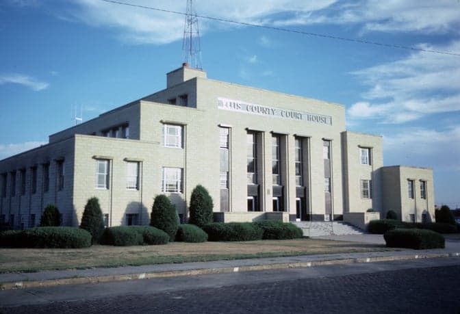
Photo: Wikipedia
Strategic Assessment of Ellis County
Strong survivability profile. Good buffer from population centers, with manageable environmental and tactical risks.
What does the Strategic Assessment tell us?
Our Strategic Assessment grades tactical survivability of an area. Major population centers, military targets, fallout zones, natural disasters, and border exposure all drive risk — lower exposure means a more defensible position in a crisis.
This is heavily inspired by Joel Skousen's Strategic Relocation book. Highly recommended you checkout the book ($)What does this tell us?
Our Strategic Assessment grades tactical survivability of an area. Major population centers, military targets, fallout zones, natural disasters, and border exposure all drive risk — lower exposure means a more defensible position in a crisis.
This is heavily inspired by Joel Skousen's Strategic Relocation book. Highly recommended you checkout the book ($)Strategic Pillars

Key Distances
Strategic Assessment Analysis
Ellis County, Kansas, anchored by the city of Hays, presents a compelling case for relocators prioritizing resilience, self-sufficiency, and a deliberate distance from major metropolitan vulnerabilities. Its position in the central High Plains offers a unique blend of geographic isolation from coastal and industrial fallout zones, a stable agricultural economy, and a community infrastructure built around a regional hub. For a family or individual weighing disaster readiness alongside quality of life, Ellis County provides a strategic balance of remoteness and practical access to essential services, making it a serious contender for a long-term relocation plan.
Geographic position and natural advantages for long-term stability
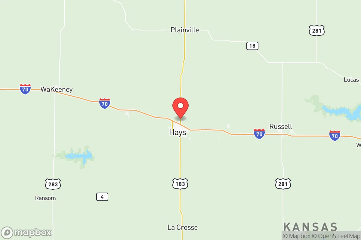
Ellis County sits in the Smoky Hills region of north-central Kansas, roughly 150 miles northwest of Wichita and 300 miles west of Kansas City. This location is a key advantage: it places the county well outside the immediate blast, fallout, or secondary disruption zones of major population centers, military installations, and critical industrial infrastructure. The nearest major military base, Fort Riley, is about 100 miles to the east, a distance that mitigates the risk of being in a primary target area while still allowing for economic spillover benefits. The county's terrain is rolling hills and river valleys, not flat plains, which offers natural defensibility and microclimate variation. The Saline River and Big Creek provide surface water sources, and the underlying Ogallala Aquifer, though deeper here than in western Kansas, supplies groundwater for irrigation and municipal use. The region's climate is semi-arid, with an average of 20 inches of precipitation annually, reducing the risk of catastrophic flooding common in eastern Kansas, while still supporting dryland wheat farming and cattle grazing. This combination of water availability, moderate topography, and distance from high-value targets makes Ellis County a naturally resilient location for a preparedness-minded household.
Risks, exposures, and proximity to fallout-relevant landmarks
While Ellis County is far from the highest-risk zones, it is not without exposures. The primary man-made risk is its proximity to the Keystone Pipeline system, which runs through the county. A rupture or sabotage event at a pipeline valve station near Hays or Ellis could cause localized contamination or disruption, though the sparse population density limits the scale of impact. The county is also within 200 miles of the Kansas City metropolitan area and the Wichita area, both of which contain industrial facilities, rail yards, and a major Air Force base (McConnell AFB in Wichita). In a major conflict scenario, fallout from a strike on those targets could drift eastward, but prevailing westerly winds in this region typically push fallout away from Ellis County. Natural risks are moderate: the area lies in Tornado Alley, with an average of 10-15 tornado warnings per year, but the open terrain allows for long warning times. Severe winter storms, including blizzards and ice storms, are a recurring hazard, capable of isolating rural areas for 2-3 days. The county's primary vulnerability is its reliance on a single major highway, I-70, for east-west logistics; a disruption there would force detours onto state highways like KS-183 or KS-4, which are less maintained. The Hays Regional Airport offers a secondary transport link, but it is not a major cargo hub. For a relocator, the key takeaway is that Ellis County's risks are manageable with standard preparedness—unlike coastal hurricane zones or urban grid collapse scenarios—but require attention to winter weather and supply chain redundancy.
Practical resilience for a relocator: food, water, energy, and defensibility
Ellis County's practical resilience is strong, particularly for those willing to engage with its agricultural base. Food security is a standout: the county is part of the Kansas wheat belt, with local grain elevators in Hays, Ellis, and Victoria providing bulk grain access. The region also supports cattle ranching, and the Hays Livestock Market is a regional hub for buying and selling livestock. For a relocator, establishing relationships with local farmers and ranchers is straightforward, and the Hays Farmers Market (May-October) offers direct-to-consumer produce, eggs, and meat. Water security is more nuanced. Municipal water in Hays comes from a combination of wells and the Big Creek reservoir, but the aquifer is declining. A preparedness-minded household should plan for a private well or rainwater catchment system; the county's average annual rainfall of 20 inches makes rainwater harvesting viable for non-potable use, but not for full self-sufficiency without storage. Energy resilience is favorable: the county has a mix of grid power from the Western Area Power Administration (hydropower from the Missouri River) and local wind energy. The Hays area has several wind farms, and residential solar is viable with net metering available through Midwest Energy. For off-grid capability, propane is widely available for heating and cooking, and wood-burning stoves are common in rural homes. Defensibility is a mixed picture. The county's low population density (about 12 people per square mile) means neighbors are far apart, reducing social friction but also limiting mutual aid. The terrain of rolling hills and creek bottoms provides natural cover and chokepoints for a rural property. The city of Hays itself has a police force of about 30 officers, but rural areas rely on the Ellis County Sheriff's Office, which has limited coverage. For a relocator, a property with a good well, a backup generator, and a defensible perimeter (e.g., a hilltop or a valley with a single access road) is achievable within a reasonable budget—land prices in the county are well below national averages, with rural acreage often available for under $3,000 per acre.
The overall strategic picture for Ellis County is one of balanced, low-drama resilience. It is not a bug-out location for a doomsday scenario—it lacks the extreme isolation of the Montana Rockies or the desert Southwest—but it offers a realistic, sustainable base for a family or individual seeking to reduce their vulnerability to national-scale disruptions. The county's strengths are its agricultural self-sufficiency, its distance from primary target zones, and its community infrastructure that is small enough to be manageable but large enough to provide hospitals, schools, and supply chains. The weaknesses are its reliance on groundwater, its exposure to winter storms, and its position within a few hundred miles of major military and industrial targets. For a conservative-leaning relocator who values self-reliance, community, and a slower pace of life, Ellis County represents a solid, data-backed choice—a place where preparedness is a lifestyle, not a panic response, and where the land itself provides a foundation for long-term stability.

* Values derived from national, state, county, city and local statistics and may differ in a specific area. Last updated: 2026-07-08T01:56:41.000Z
Narrative content on this page is AI-generated and may contain mistakes. Verify any details that matter before acting on them.
ReloMaps may earn a commission from affiliate links at no extra cost to you.

