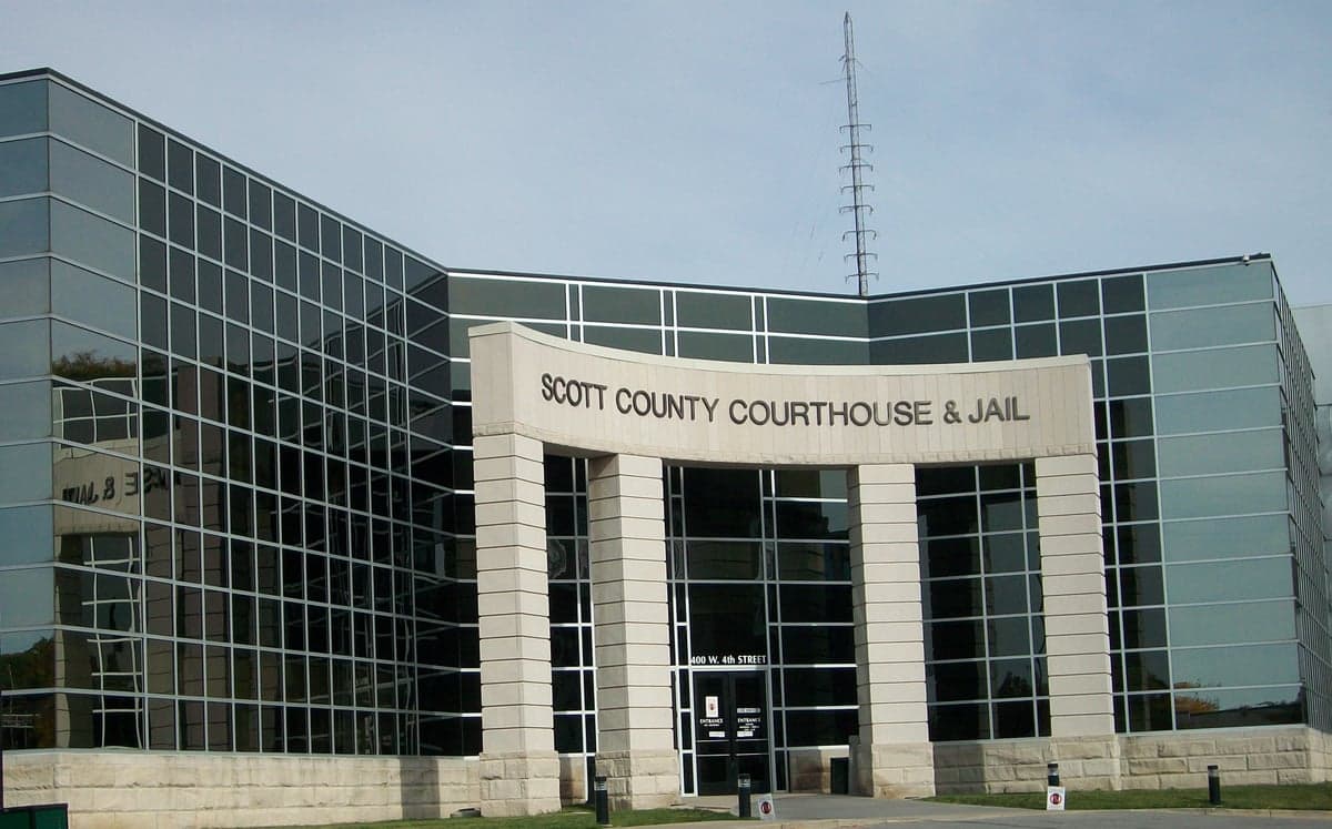
Photo: Wikipedia
Strategic Assessment of Scott County
Meaningful friction. Expect exposure to either population pressure, blast zones, or natural disaster risk. Consider buying a retreat property.
What does the Strategic Assessment tell us?
Our Strategic Assessment grades tactical survivability of an area. Major population centers, military targets, fallout zones, natural disasters, and border exposure all drive risk — lower exposure means a more defensible position in a crisis.
This is heavily inspired by Joel Skousen's Strategic Relocation book. Highly recommended you checkout the book ($)What does this tell us?
Our Strategic Assessment grades tactical survivability of an area. Major population centers, military targets, fallout zones, natural disasters, and border exposure all drive risk — lower exposure means a more defensible position in a crisis.
This is heavily inspired by Joel Skousen's Strategic Relocation book. Highly recommended you checkout the book ($)Strategic Pillars

Key Distances
Strategic Assessment Analysis
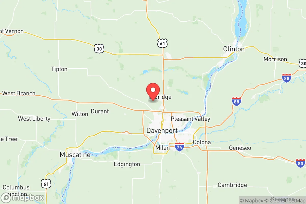
Scott County, Iowa, anchored by the Quad Cities metro area, presents a mixed strategic picture for relocators prioritizing resilience and self-sufficiency. Its position along the Mississippi River offers genuine advantages in water security and agricultural access, but its proximity to major industrial and transportation corridors introduces distinct man-made risks that a conservative-leaning, preparedness-minded individual or family must weigh carefully. The county's economic stability and relatively low population density outside the urban core of Davenport provide a foundation, but the region's exposure to riverine hazards and its location near significant national infrastructure demand a clear-eyed assessment before committing to a move.
Geographic position and natural advantages for long-term stability
Scott County's most significant natural asset is its position along the Mississippi River, which provides a virtually unlimited surface water supply for communities like Davenport, Bettendorf, and Le Claire. For a relocator focused on water security, this is a major plus: the river is a resilient, hard-to-disrupt source that smaller municipalities in the county can tap with well-maintained infrastructure. The surrounding landscape is predominantly fertile, rolling farmland, which supports a robust local food system. The county sits within the Corn Belt, meaning grain and livestock production are deeply embedded in the local economy, offering direct access to regional food supplies that are less dependent on long-distance trucking than in more arid or urbanized parts of the country. The terrain itself is gently hilly with wooded bluffs along the river, providing some natural screening and defensible positions for rural properties, particularly in the eastern townships near Princeton and Buffalo. Winters are cold and snowy, which presents a challenge for off-grid living but also acts as a natural check on population growth and keeps the area less attractive to mass migration during climate-driven disruptions elsewhere.
Risk exposure: natural hazards and proximity to critical infrastructure
The same Mississippi River that provides water security also represents the county's most predictable natural threat. Davenport has a well-documented history of major flooding, most notably in 2019 and 2023, when the river crested at record or near-record levels, inundating low-lying neighborhoods and disrupting transportation along Interstates 80 and 74. Properties within the floodplain are a hard pass for any resilience-minded buyer; even elevated homes face access issues during prolonged high water. Beyond flooding, the region experiences occasional severe thunderstorms, tornadoes (Iowa sits on the northern edge of Tornado Alley), and winter ice storms that can knock out power for days. From a man-made risk perspective, Scott County's location is more concerning. The Quad Cities are a major transportation and industrial hub. The county is bisected by Interstate 80, a critical east-west freight corridor, and multiple rail lines carry hazardous materials through the urban core. The Davenport Rail Bridge and the I-74 Bridge are potential chokepoints and targets. More significantly, the county lies within roughly 150 miles of the Dubuque area to the north and the Quad Cities Nuclear Power Station at Cordova, Illinois, just across the river. While the power plant is a standard pressurized water reactor with a solid safety record, its presence is a factor for anyone serious about fallout avoidance. Additionally, the county's position along the Mississippi places it downstream from major industrial centers in Minnesota and Wisconsin, meaning a chemical spill or upstream infrastructure failure could directly impact water quality in Davenport and Bettendorf with little warning.
Practical resilience for a relocator: food, water, energy, and defensibility
For a family or individual looking to establish a self-sufficient homestead, Scott County offers a workable but imperfect environment. Food security is the strongest category: the surrounding agricultural economy means local farmers' markets, CSAs, and bulk grain suppliers are readily accessible in towns like Eldridge and Walcott. The growing season runs from late April to early October, sufficient for a substantial garden, and the soil quality in the upland areas away from the river is excellent. Water security is excellent for those who can drill a well outside the urban service areas; the Mississippi River alluvial aquifer is productive and reliable. However, well depth and water quality vary, and testing for agricultural runoff (nitrates, pesticides) is essential. Energy independence is more challenging. The region's average annual cloud cover is high, reducing solar panel efficiency significantly during winter months. Wood heating is viable given the forested bluffs, but air quality regulations in some townships may limit outdoor burning. Wind resources are moderate; small-scale turbines can supplement but won't replace grid power in most setups. Defensibility is mixed. Rural properties in the eastern part of the county, near Le Claire and Princeton, offer good visibility and limited road access, which aids security. However, the county's position as a transportation corridor means that any large-scale disruption on I-80 or the river could bring transient populations through the area. The county seat, Davenport, has a population of around 100,000, which is large enough to present potential civil unrest risks during a prolonged crisis, but small enough that a relocator living 15-20 minutes outside the urban core can effectively isolate themselves. The local political culture in Scott County leans moderate to conservative, particularly in the rural townships, which aligns with a self-reliance mindset and may foster stronger neighborhood mutual-aid networks than in more progressive urban areas.
The overall strategic picture for Scott County is one of qualified viability. Its water and food advantages are real and significant, placing it ahead of many inland counties for long-term resilience. The presence of the Mississippi River and the region's agricultural base provide a buffer against some of the supply-chain vulnerabilities that plague more remote or arid locations. However, the county's position along a major river and interstate corridor, its history of flooding, and its proximity to a nuclear power plant and heavy industrial infrastructure introduce risks that cannot be ignored. For the relocator who chooses a rural property on high ground east of Davenport, drills a reliable well, and invests in a wood-burning backup heat source, Scott County offers a defensible, resource-rich base of operations. For anyone considering a home within the floodplain or close to the I-80 corridor, the trade-offs in safety and security are likely unacceptable. The county is a solid B+ on the resilience scale: strong fundamentals, but requiring careful site selection and a clear-eyed acceptance of its regional vulnerabilities.

* Values derived from national, state, county, city and local statistics and may differ in a specific area. Last updated: 2026-07-21T22:39:08.000Z
Narrative content on this page is AI-generated and may contain mistakes. Verify any details that matter before acting on them.
ReloMaps may earn a commission from affiliate links at no extra cost to you.

