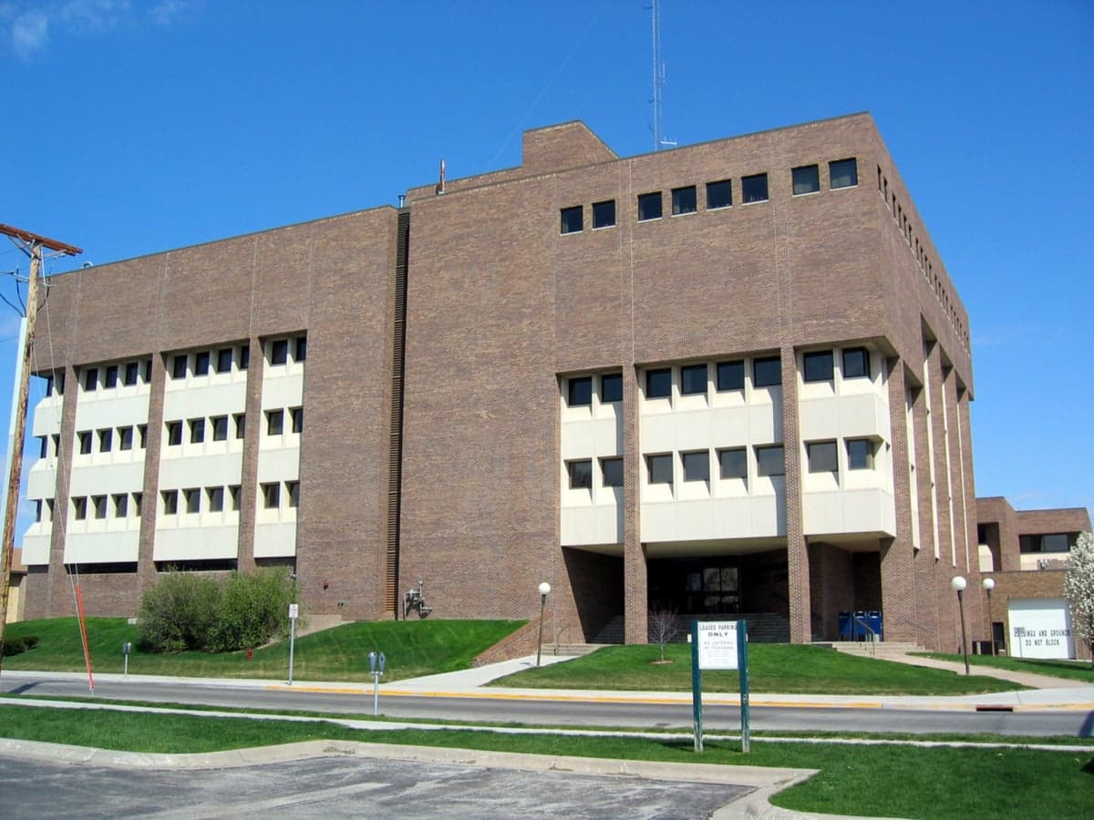
Photo: Wikipedia
Strategic Assessment of Pottawattamie County
Meaningful friction. Expect exposure to either population pressure, blast zones, or natural disaster risk. Consider buying a retreat property.
What does the Strategic Assessment tell us?
Our Strategic Assessment grades tactical survivability of an area. Major population centers, military targets, fallout zones, natural disasters, and border exposure all drive risk — lower exposure means a more defensible position in a crisis.
This is heavily inspired by Joel Skousen's Strategic Relocation book. Highly recommended you checkout the book ($)What does this tell us?
Our Strategic Assessment grades tactical survivability of an area. Major population centers, military targets, fallout zones, natural disasters, and border exposure all drive risk — lower exposure means a more defensible position in a crisis.
This is heavily inspired by Joel Skousen's Strategic Relocation book. Highly recommended you checkout the book ($)Strategic Pillars

Key Distances
Strategic Assessment Analysis
Pottawattamie County, Iowa, offers a compelling mix of Midwestern stability and strategic positioning for the relocation-minded reader, particularly those weighing disaster readiness and self-sufficiency. Anchored by the city of Council Bluffs and stretching west to the Missouri River, the county benefits from a location that is both removed from major coastal threat zones and close enough to essential infrastructure to be practical. Its resilience profile is defined by a balance of natural advantages, manageable man-made risks, and a strong agricultural base that supports a self-reliant lifestyle.
Geographic position and natural advantages for long-term stability
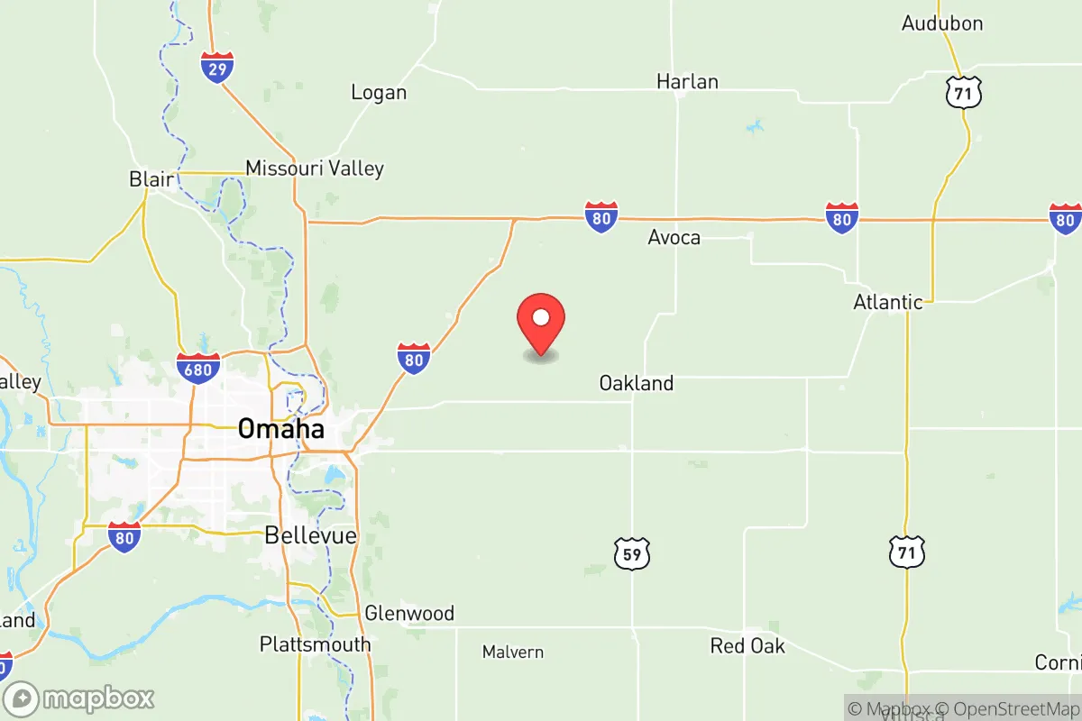
Pottawattamie County sits on Iowa's western edge, with the Missouri River forming its border with Nebraska. This position places it in the heart of the Great Plains agricultural belt, a region with deep, fertile soil and a reliable growing season that supports local food production. The county's topography is mostly rolling hills and prairie, with the Loess Hills running through the eastern portion—a unique landform that provides natural drainage and some defensible high ground. The area is far from the hurricane-prone Gulf Coast, the seismic risks of the New Madrid fault zone (though not immune to distant tremors), and the wildfire corridors of the West. Winters are cold and snowy, but the climate is generally stable, with no extreme heat events that would stress off-grid systems. The Missouri River is a major water source, and the county's numerous creeks and streams—like the West Nishnabotna River and Silver Creek—offer supplementary water access for those with proper filtration. For a relocator, this means a location that is geographically insulated from the most common large-scale natural disasters, with ample water and arable land to support a self-sufficient household.
Risks, exposures, and proximity to fallout-relevant landmarks
While Pottawattamie County avoids the worst of coastal and seismic threats, it is not without its own risk profile. The most significant man-made exposure comes from its proximity to Omaha, Nebraska, a major metropolitan area of roughly 1.3 million people located just across the Missouri River. Omaha is home to Offutt Air Force Base, a key U.S. Strategic Command (STRATCOM) installation that is a high-value target in any conflict scenario. Council Bluffs itself hosts a major Union Pacific rail yard and several data centers, including a large Google facility, which could be secondary targets or points of disruption. The county also sits near the Fort Calhoun Nuclear Station (now decommissioned but still containing spent fuel) and the Omaha Public Power District's North Omaha Station, a coal-fired plant. In a major event, fallout from a strike on Offutt or the Omaha metro could drift into the county depending on wind patterns. Additionally, the Missouri River is prone to flooding, as seen in the devastating 2019 floods that inundated parts of Council Bluffs and rural areas. Tornadoes are a seasonal reality—Pottawattamie County is in the heart of Tornado Alley, with an average of 5-6 tornadoes per year. For the relocator, these risks are manageable with proper planning: avoid low-lying floodplains near the river, have a basement or storm shelter for tornadoes, and understand that proximity to a major military target is a real, if low-probability, concern.
Practical resilience for a relocator: food, water, energy, and defensibility
For someone serious about self-sufficiency, Pottawattamie County offers strong fundamentals. The agricultural base is a major asset: the county is a leading producer of corn, soybeans, and livestock, with over 1,200 farms covering more than 400,000 acres. This means local food sources are abundant, and farmers' markets in Council Bluffs, Avoca, and Underwood provide direct access to fresh produce and meat. Water is plentiful from the Missouri River and local aquifers, but well drilling is common in rural areas—many properties already have private wells, and the county's groundwater quality is generally good. Energy infrastructure is robust: the county is served by MidAmerican Energy, which operates a mix of coal, natural gas, and wind power, with several large wind farms in the area. For off-grid setups, solar is viable, though winter cloud cover can reduce output. The county's rural character means that defensibility is a practical advantage: properties are often spaced out, with good sightlines and limited access points, especially in the Loess Hills. The small towns of Hancock, Macedonia, and Carson offer tight-knit communities where neighbors know each other—a social resilience factor that is hard to quantify but critical in a crisis. The county's road network is well-maintained, with Interstate 80 and U.S. Highway 6 providing east-west access, but secondary roads are numerous and can serve as alternate routes. For the relocator, the key is to choose a property away from the Missouri River floodplain and the immediate Omaha metro fringe, ideally in the central or eastern part of the county where the Loess Hills provide natural cover and drainage.
The overall strategic picture for Pottawattamie County is one of moderate risk with high practical resilience. It is not a remote bunker location—it sits next to a major city and a strategic military base—but it offers a realistic balance for someone who wants to be prepared without living in total isolation. The agricultural base, water access, and community structure provide a solid foundation for self-reliance, while the risks from tornadoes, flooding, and proximity to Omaha are manageable with informed site selection and basic preparedness measures. For the relocator who values a stable, productive environment with room to grow food and store supplies, Pottawattamie County is a strong candidate that deserves serious consideration.

* Values derived from national, state, county, city and local statistics and may differ in a specific area. Last updated: 2026-11-07T06:57:56.000Z
Narrative content on this page is AI-generated and may contain mistakes. Verify any details that matter before acting on them.
ReloMaps may earn a commission from affiliate links at no extra cost to you.

