
Photo: Wikipedia
Strategic Assessment of Plymouth County
Strong survivability profile. Good buffer from population centers, with manageable environmental and tactical risks.
What does the Strategic Assessment tell us?
Our Strategic Assessment grades tactical survivability of an area. Major population centers, military targets, fallout zones, natural disasters, and border exposure all drive risk — lower exposure means a more defensible position in a crisis.
This is heavily inspired by Joel Skousen's Strategic Relocation book. Highly recommended you checkout the book ($)What does this tell us?
Our Strategic Assessment grades tactical survivability of an area. Major population centers, military targets, fallout zones, natural disasters, and border exposure all drive risk — lower exposure means a more defensible position in a crisis.
This is heavily inspired by Joel Skousen's Strategic Relocation book. Highly recommended you checkout the book ($)Strategic Pillars

Key Distances
Strategic Assessment Analysis
Plymouth County, Iowa, offers a compelling strategic profile for relocators prioritizing resilience and self-sufficiency, combining the stability of a strong agricultural economy with a location that balances rural isolation from major metropolitan risks. The county’s seat, Le Mars, known as the "Ice Cream Capital of the World," anchors a region where the Missouri River valley provides fertile soil and a natural defensive boundary to the west, while the county’s position roughly 90 miles north of Omaha and 200 miles northwest of Des Moines places it outside the immediate fallout zones of major population centers. For a conservative-leaning audience focused on disaster readiness, Plymouth County’s blend of productive farmland, modest population density, and distance from high-value targets makes it a pragmatic choice worth serious consideration.
Geographic position and natural advantages for self-sufficiency
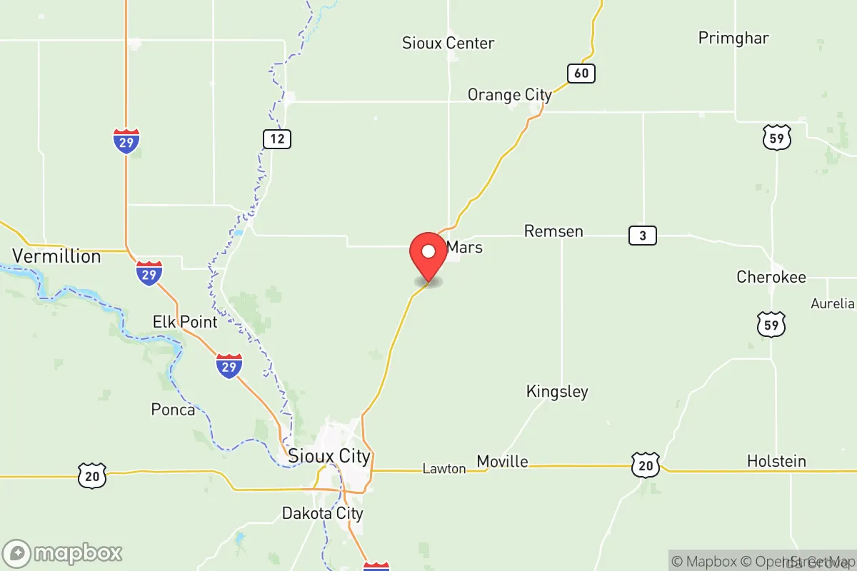
Plymouth County sits in Iowa’s northwest corner, bordered by the Missouri River to the west and the Big Sioux River to the north, creating a natural buffer zone that enhances defensibility and water access. The county’s topography is gently rolling plains, ideal for agriculture, with the Loess Hills running along the western edge—a series of steep, wind-deposited ridges that offer elevated vantage points and limited natural cover. The county seat, Le Mars, is the largest population center at roughly 10,000 residents, followed by smaller towns like Akron, Remsen, and Merrill, each with populations under 2,000. This low-density distribution means that a catastrophic event in one area is unlikely to cascade across the entire county. The Missouri River provides a reliable surface water source, while the underlying Dakota Aquifer offers groundwater for wells, though depths vary—typically 100-300 feet in the region. The county’s agricultural base is dominated by corn and soybeans, with significant livestock operations (primarily hogs and cattle), meaning local food production is abundant and accessible. For a relocator, this translates to direct access to fresh produce, meat, and dairy without reliance on distant supply chains.
Risks, exposures, and proximity to fallout-relevant landmarks
Plymouth County’s primary man-made risk stems from its proximity to the Missouri River corridor, which hosts several potential targets. The nearest major city is Sioux City, Iowa, located about 30 miles north of Le Mars, with a population of 85,000 and industrial assets including a major meatpacking plant (Tyson Foods) and a rail hub. While Sioux City is not a primary nuclear target, its infrastructure could be a secondary concern. More significantly, the county lies roughly 150 miles northwest of Offutt Air Force Base near Omaha, Nebraska—a Strategic Command (STRATCOM) headquarters and a high-priority target in a major conflict. Fallout patterns from a strike on Offutt would depend on wind direction; prevailing westerlies could carry radioactive debris into western Iowa, including Plymouth County, within hours. The county also sits about 200 miles from the Minuteman III missile fields of western Nebraska and eastern Wyoming, though these are less likely to be targeted directly. Natural risks are moderate: the Missouri River poses a flooding threat, particularly in low-lying areas near the river, though the county’s floodplain management is generally effective. Tornadoes are a seasonal risk, with the county averaging 10-15 tornado warnings per year, but the open terrain allows for good visibility and warning time. No major refineries, nuclear power plants, or chemical facilities exist within the county itself, which is a significant advantage for fallout avoidance.
Practical resilience for a relocator: food, water, energy, and defensibility
For a relocator focused on self-sufficiency, Plymouth County offers strong fundamentals. Food security is excellent: the county’s agricultural output means that direct relationships with local farmers are feasible, and Le Mars hosts a weekly farmers market from May to October. The Wells Enterprises ice cream plant in Le Mars is a major employer but also a potential resource for preserved dairy products. Water access is reliable: the Missouri River provides a surface source, but most rural properties rely on private wells tapping the Dakota Aquifer, which has good yield and quality, though testing for nitrates from agricultural runoff is recommended. The county’s rural water systems (e.g., Plymouth County Rural Water District) serve most unincorporated areas, but a well with a hand pump offers redundancy. Energy infrastructure is moderately resilient: the county is served by MidAmerican Energy, which relies on a mix of coal, wind, and natural gas. Plymouth County has significant wind turbine installations, particularly in the western townships, which could provide localized power if the grid fails, though individual solar or wind setups are advisable for true independence. Defensibility is favorable: the county’s low population density (roughly 25 people per square mile) and dispersed settlement pattern make it difficult for large groups to concentrate. The Loess Hills offer natural chokepoints and observation points, while the Missouri River forms a western boundary that is difficult to cross without bridges (the nearest major crossings are at Sioux City and the Highway 75 bridge near Akron). The county’s road network is primarily two-lane highways and gravel roads, which can be easily monitored or blocked if necessary. The local law enforcement presence is modest—the Plymouth County Sheriff’s Office has about 20 deputies—so community-based security arrangements would be prudent.
The overall strategic picture for Plymouth County is one of balanced resilience with manageable trade-offs. Its agricultural abundance, water resources, and low population density make it a strong candidate for relocators seeking a rural base with good self-sufficiency potential. The primary vulnerability is its position within fallout range of Offutt Air Force Base, though this risk is mitigated by distance and prevailing wind patterns that often push debris eastward, away from the county. The absence of high-value industrial targets within the county itself is a major plus, and the local economy’s grounding in food production means that even in a prolonged disruption, basic necessities remain accessible. For a conservative-leaning family or individual willing to invest in well water, renewable energy, and community ties, Plymouth County offers a defensible, productive, and strategically sound location that balances isolation with access to regional resources in Sioux City and Omaha when conditions are stable.

* Values derived from national, state, county, city and local statistics and may differ in a specific area. Last updated: 2026-06-30T01:30:17.000Z
Narrative content on this page is AI-generated and may contain mistakes. Verify any details that matter before acting on them.
ReloMaps may earn a commission from affiliate links at no extra cost to you.

