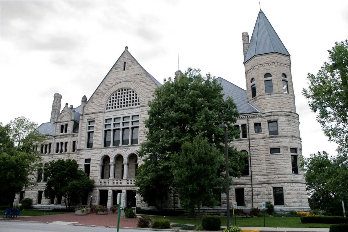
Photo: Wikipedia
Strategic Assessment of Wayne County
Workable tactical position. Some exposure to population density or targets, but generally defensible in a crisis.
What does the Strategic Assessment tell us?
Our Strategic Assessment grades tactical survivability of an area. Major population centers, military targets, fallout zones, natural disasters, and border exposure all drive risk — lower exposure means a more defensible position in a crisis.
This is heavily inspired by Joel Skousen's Strategic Relocation book. Highly recommended you checkout the book ($)What does this tell us?
Our Strategic Assessment grades tactical survivability of an area. Major population centers, military targets, fallout zones, natural disasters, and border exposure all drive risk — lower exposure means a more defensible position in a crisis.
This is heavily inspired by Joel Skousen's Strategic Relocation book. Highly recommended you checkout the book ($)Strategic Pillars

Key Distances
Strategic Assessment Analysis
Wayne County, Indiana, centered on the city of Richmond, presents a nuanced strategic picture for the relocator focused on resilience and self-sufficiency. Its position in east-central Indiana, roughly midway between Indianapolis and Dayton, Ohio, offers a blend of moderate isolation from major metropolitan fallout zones while retaining access to critical supply chains and medical infrastructure. The county's resilience is rooted in its agricultural capacity, a modest but stable industrial base, and a location that puts it outside the most probable high-value target corridors of the Midwest.
Geographic position and natural advantages for long-term stability
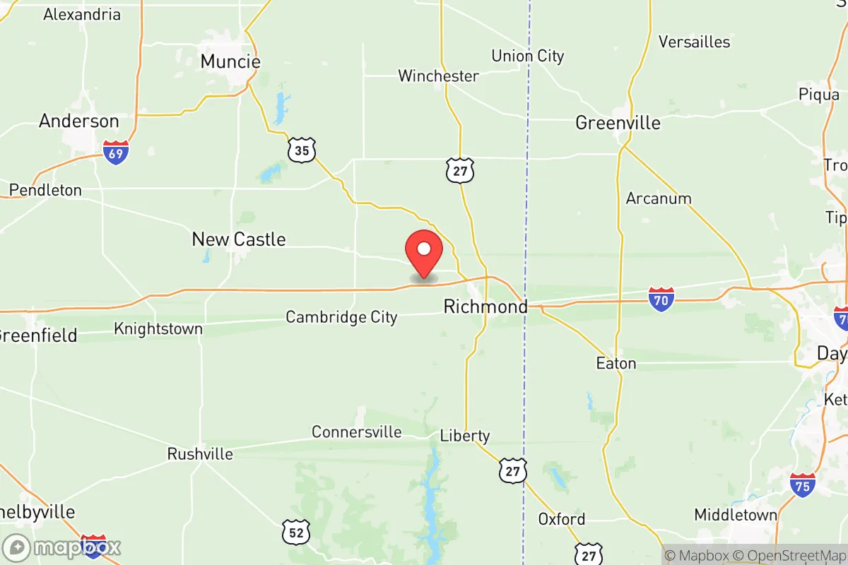
Wayne County sits on the eastern edge of Indiana, with its primary settlement, Richmond, serving as a regional hub for commerce and services. The area's topography is gentle, rolling farmland, which offers several practical advantages: excellent drainage, fertile soil for subsistence agriculture, and a climate that supports a long growing season (Zone 5b/6a). The county is bisected by the Whitewater River, which provides a reliable surface water source, though its flow is modest compared to major rivers. The immediate hinterland is dominated by corn and soybean operations, meaning a relocator could feasibly access local grain for food or animal feed, as well as forage for small livestock. Critically, Wayne County is approximately 70 miles from the Indianapolis urban core and roughly 50 miles from Dayton, Ohio, meaning it sits outside the primary blast and immediate fallout zones of a major metropolitan targeted by a nuclear event. It is also not within the fallout footprint of any known major military installation such as Fort Knox, Wright-Patterson Air Force Base, or Camp Atterbury, reducing the risk of being downwind of a base strike. The county's location along the I-70 corridor is a double-edged sword: it provides essential resupply and evacuation routes during peacetime, but this same highway would be a funnel for displaced populations during a regional crisis.
Exposure risks and proximity to man-made hazards
While Wayne County avoids the highest-tier risk of being near a primary nuclear target, it is not without exposure to significant man-made hazards. The most prominent nearby risk is the Indiana Michigan Power (AEP) Tanners Creek coal-fired power plant, located just west of Lawrenceburg, Indiana, approximately 80 miles southwest, but more directly, the county sits within the general influence zone of the Middletown, Ohio industrial corridor, which includes the Miamisburg Mound Laboratory site (a former DOE weapons facility now largely remediated but with residual contamination concerns). A more immediate concern is the risk of industrial accidents at the numerous fertilizer and chemical storage facilities dotting the agricultural landscape around Richmond. The CSX and Norfolk Southern rail lines that run through Richmond carry hazardous materials daily; a derailment could create a localized evacuation zone. For the defensive-minded relocator, the terrain offers no natural chokepoints or high ground that would provide a tactical advantage. The county is a broad, open plain, making it difficult to secure a perimeter property against a determined, mobile threat. Flooding is the primary natural risk, with the Whitewater River and its tributaries (such as Noland's Fork and East Fork) prone to spring flooding after heavy rains, particularly in the low-lying areas of western Richmond and the town of Boston, Indiana.
Practical resilience for daily life: food, water, energy, and defensibility
For a relocator prioritizing practical self-sufficiency, Wayne County offers a mixed but workable picture. Food sovereignty is achievable due to the sheer volume of agricultural land; a 5-10 acre plot can sustain a family of four through seasonal gardening, small orchards, and a few goats or chickens. The Richmond Farmers Market and local U-pick operations (like those in nearby Centerville and Fountain City) provide immediate access to fresh produce. Water security is a moderate concern: the municipal water supply for Richmond comes from the Whitewater River and treated groundwater, but a widespread power grid failure would cut treatment. Individual well drilling is feasible (average depth 100-200 feet) and is recommended for any rural property, though well yields can be variable. Energy resilience is above average for the region. The county is served by Duke Energy Indiana, but the proximity to the St. Lawrence Gas Company's natural gas pipeline and the presence of local propane distributors offer backup heating options. Solar potential is decent (about 4.5 peak sun hours per day), and many rural properties already have backup generators for the frequent seasonal storms. Defensibility is arguably the weakest point. The open agricultural landscape provides little natural cover. A more secure property would need to be located on a dead-end road near the county's wooded creek valleys (like those along the west fork of the Whitewater) to create natural screening and a limited approach. The absence of a significant local militia or formal preparedness network in Wayne County means a relocator would largely be on their own, though the general population is rural and self-reliant, with a strong DIY culture.
The overall strategic picture for Wayne County is that of a moderately resilient, low-singular-risk haven for the serious preparedness-minded individual. It is not a fortress, but it is a livable, sustainable slice of the Midwest that allows for a high degree of self-reliance without the extreme isolation and associated supply-chain fragility of more remote areas like the Upper Peninsula or the Ozarks. The county's greatest asset is its agricultural abundance and distance from high-value targets; its greatest liabilities are its open terrain and vulnerability to mass displacement events from the nearby I-70 corridor. For a single individual or family willing to invest in well water, a solar-battery backup, and a defensible rural property in a wooded creek valley, Wayne County offers a durable, long-term base of operations that can weather both natural disruptions and the strategic instability of the broader world.

* Values derived from national, state, county, city and local statistics and may differ in a specific area. Last updated: 2026-06-20T18:52:18.000Z
Narrative content on this page is AI-generated and may contain mistakes. Verify any details that matter before acting on them.
ReloMaps may earn a commission from affiliate links at no extra cost to you.

