Photo: Wikipedia
Strategic Assessment of Pulaski County
Workable tactical position. Some exposure to population density or targets, but generally defensible in a crisis.
What does the Strategic Assessment tell us?
Our Strategic Assessment grades tactical survivability of an area. Major population centers, military targets, fallout zones, natural disasters, and border exposure all drive risk — lower exposure means a more defensible position in a crisis.
This is heavily inspired by Joel Skousen's Strategic Relocation book. Highly recommended you checkout the book ($)What does this tell us?
Our Strategic Assessment grades tactical survivability of an area. Major population centers, military targets, fallout zones, natural disasters, and border exposure all drive risk — lower exposure means a more defensible position in a crisis.
This is heavily inspired by Joel Skousen's Strategic Relocation book. Highly recommended you checkout the book ($)Strategic Pillars

Key Distances
Strategic Assessment Analysis
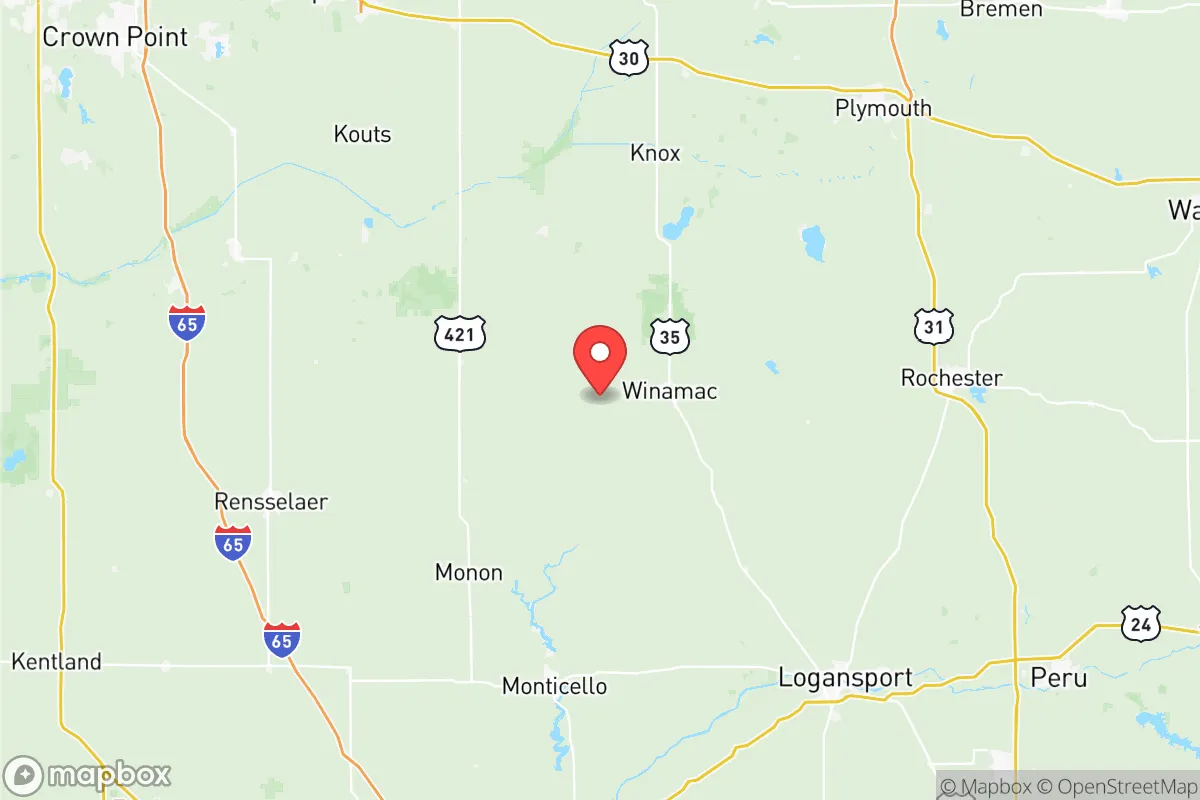
Pulaski County, Indiana, offers a compelling strategic position for those prioritizing resilience and self-sufficiency, balancing rural isolation with practical access to regional resources. Located roughly 90 miles northwest of Indianapolis and 40 miles south of the Michigan City/LaPorte industrial zone, the county sits in a sparsely populated corridor of the state’s north-central agricultural belt. Its low population density—approximately 12,000 residents spread across 435 square miles—combined with a lack of major interstate highways running directly through it, provides a natural buffer against both urban sprawl and the immediate fallout risks associated with larger metropolitan areas. For a relocator thinking seriously about disaster readiness, Pulaski County’s quiet geography is its primary asset.
Geographic position and natural advantages for long-term stability
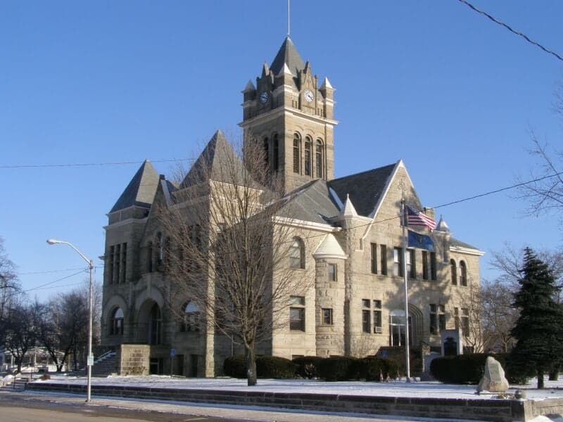
Pulaski County’s location within the Tippecanoe River watershed offers distinct advantages. The county is bisected by the Tippecanoe River itself, which flows southward into the Wabash River, providing a reliable surface water source that is less prone to contamination than groundwater in more industrialized regions. The county’s terrain is predominantly flat to gently rolling, with extensive woodlands in the eastern and southern portions—particularly around the Jasper-Pulaski Fish and Wildlife Area, a 8,000-acre state-managed preserve that serves as both a wildlife corridor and a potential food source. This area, known for its sandhill crane migration, also offers hunting, foraging, and timber resources. The county’s agricultural base is strong: over 70% of land is dedicated to row crops (corn, soybeans, wheat) and livestock operations, meaning local food production capacity is high. The county seat, Winamac, sits at the confluence of the Tippecanoe River and the old Michigan Road (US 35), providing a central hub without the congestion of a larger city. The absence of major rail yards, chemical plants, or large-scale energy infrastructure within the county limits reduces the risk of industrial accidents or targeted disruptions.
Risk exposure, fallout proximity, and strategic vulnerabilities
While Pulaski County avoids the worst fallout risks, it is not immune to regional threats. The most significant man-made risk comes from the Michigan City Generating Station (a coal-fired plant) and the Bailly Nuclear Generating Station (decommissioned but still containing spent fuel), both located about 40 miles north in LaPorte County. A major incident at either site could deposit fallout across northern Pulaski County, particularly under prevailing southward winds. Additionally, the BP Whiting Refinery in northwest Indiana—the largest refinery in the Midwest—lies roughly 60 miles northwest, within the range of a worst-case chemical release. The county’s proximity to Interstate 65 (15 miles west) and US 30 (20 miles north) means that hazardous material transport routes run nearby, though not directly through the county. Natural risks are moderate: the area lies in a low-seismicity zone, but the Tippecanoe River has a history of flooding, particularly in low-lying areas around Winamac and Francesville. Tornado risk is real but typical for the Midwest; the county averages one tornado every 3-5 years, usually EF0-EF2. The lack of a major hospital within the county (the nearest trauma center is in Logansport, 20 miles south) is a vulnerability for medical emergencies, though the county does have a small critical access hospital in Winamac.
Practical resilience for a relocator: food, water, energy, and defensibility
For someone serious about self-sufficiency, Pulaski County offers strong fundamentals. Water access is excellent: the Tippecanoe River and its tributaries (including the Monon Ditch and several creeks) provide year-round surface water, and the county’s shallow aquifer (20-40 feet deep in most areas) makes well drilling affordable and reliable. The county’s agricultural cooperatives, such as the Winamac Co-op, supply bulk seed, fertilizer, and animal feed, supporting small-scale farming and livestock operations. Local food production is supplemented by farmers’ markets in Winamac and Medaryville, and the county’s deer and turkey populations are robust for hunting. Energy resilience is moderate: the county is served by NIPSCO (Northern Indiana Public Service Company), which relies on a mix of natural gas, coal, and renewables. Off-grid solar is viable, as the area receives about 4.5 peak sun hours per day—adequate for a modest solar array. Wood heating is practical, given the extensive forested areas; firewood permits are available through the Jasper-Pulaski Fish and Wildlife Area. Defensibility is a mixed picture: the county’s flat terrain and sparse population make it hard to defend against a determined group, but the lack of choke points and the abundance of rural roads (many unpaved) make it easy to avoid detection. The county’s small-town culture—where neighbors know each other—also acts as a social defense mechanism against outsiders. The Pulaski County Sheriff’s Office is understaffed (roughly 12 deputies for the entire county), so law enforcement response times in remote areas can exceed 30 minutes, reinforcing the need for self-reliance.
The overall strategic picture for Pulaski County is one of quiet viability for the resilience-minded relocator. It lacks the dramatic natural defenses of mountainous regions but compensates with abundant water, fertile soil, and a low-profile location away from major targets. The county’s primary weakness is its proximity to the industrial corridor of northern Indiana and the residual risks from the Michigan City and Whiting facilities, but these are manageable with proper planning (e.g., a basement or shelter for fallout, stored water filtration). For a family or individual willing to invest in a well, a wood stove, and a garden, Pulaski County offers a realistic path to self-sufficiency without the extreme isolation or high land costs of more remote areas. It is not a fortress, but it is a solid, defensible base in a region that is often overlooked by those focused on the coasts or the Mountain West. The key is to treat it as a long-term homesteading play, not a bug-out location—and to build relationships with the local farming community, who are the true resilience asset here.

* Values derived from national, state, county, city and local statistics and may differ in a specific area. Last updated: 2026-11-08T12:39:31.000Z
Narrative content on this page is AI-generated and may contain mistakes. Verify any details that matter before acting on them.
ReloMaps may earn a commission from affiliate links at no extra cost to you.

