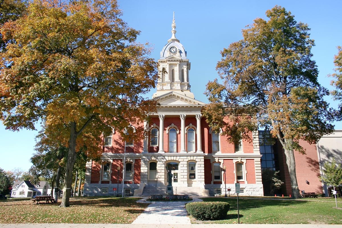
Photo: Wikipedia
Strategic Assessment of Marshall County
Workable tactical position. Some exposure to population density or targets, but generally defensible in a crisis.
What does the Strategic Assessment tell us?
Our Strategic Assessment grades tactical survivability of an area. Major population centers, military targets, fallout zones, natural disasters, and border exposure all drive risk — lower exposure means a more defensible position in a crisis.
This is heavily inspired by Joel Skousen's Strategic Relocation book. Highly recommended you checkout the book ($)What does this tell us?
Our Strategic Assessment grades tactical survivability of an area. Major population centers, military targets, fallout zones, natural disasters, and border exposure all drive risk — lower exposure means a more defensible position in a crisis.
This is heavily inspired by Joel Skousen's Strategic Relocation book. Highly recommended you checkout the book ($)Strategic Pillars

Key Distances
Strategic Assessment Analysis
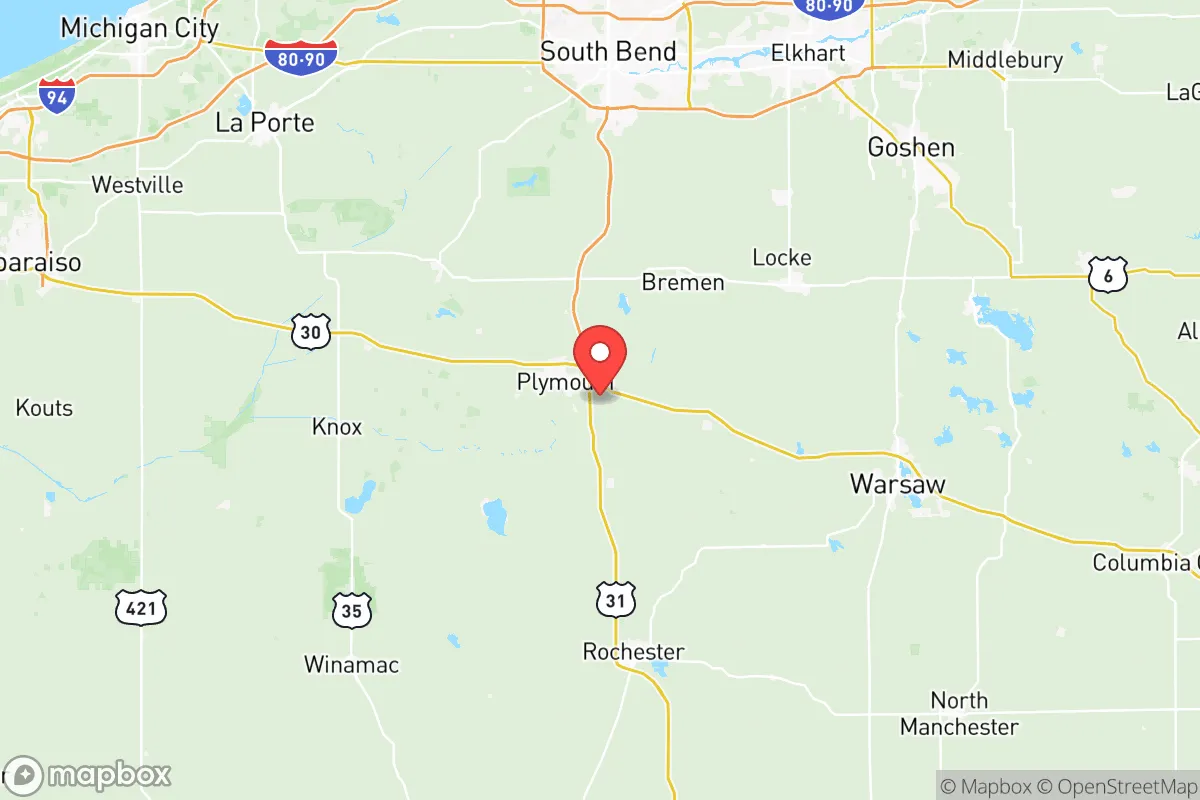
Marshall County, Indiana, offers a genuinely underrated strategic position for relocation-minded readers who take preparedness seriously. Sitting in the north-central part of the state, roughly 30 miles south of the Michigan border and about 40 miles west of South Bend, the county combines Midwestern agricultural self-sufficiency with a quiet distance from the nation's most obvious target zones. The county seat, Plymouth, anchors a region where the primary economic engines are food processing, plastics manufacturing, and farming — not the kind of infrastructure that draws a second look from an adversary's targeting officer.
Geographic position and natural advantages for long-term stability
Marshall County's location is its first and most durable asset. It sits in the Central Time Zone, a subtle but real advantage for anyone thinking about national coordination, and it is roughly equidistant from Chicago (about 100 miles northwest), Indianapolis (about 120 miles south), and Fort Wayne (about 80 miles east). That places it outside the immediate blast-and-fallout footprint of any of those metropolitan areas while still being close enough to access major medical and logistical resources if roads remain passable.
The county's topography is gentle, rolling glacial till — no flood-prone river bottoms of the kind that plague southern Indiana, and no seismic or hurricane risk worth naming. The Yellow River and the Tippecanoe River run through the county, and Lake Maxinkuckee, Indiana's second-largest natural lake, sits near the town of Culver in the county's northwest corner. That lake is a genuine strategic asset: a 1,800-acre freshwater reservoir that does not freeze solid in winter and supports a year-round fishery. For a family thinking about water security, the presence of a large, naturally fed lake within a 20-minute drive of nearly every point in the county is a concrete advantage that most Midwestern counties cannot match.
The soil is another quiet asset. Marshall County sits in some of the most productive corn-and-soybean ground in the United States, part of the broader Indiana corn belt that consistently ranks in the top tier of agricultural counties nationally. That means local food production is not a hypothetical — it is the actual economic base. The county's farmland is not marginal or speculative; it is working ground that has been farmed continuously for over 150 years.
Risk exposure and proximity to fallout-relevant landmarks
No honest strategic assessment can ignore the negatives, and Marshall County has a few. The most significant is the county's position relative to Chicago. While 100 miles is a meaningful buffer, it is not an absolute one. Under certain wind patterns, particularly the prevailing westerlies that dominate spring and summer, fallout from a ground-level detonation in the Chicago metro area could reach Marshall County within roughly 6 to 10 hours. The dose would be significantly attenuated by distance and dispersion, but it would not be zero. Readers who model worst-case scenarios should understand that the county is in the outer band of Chicago's plausible fallout footprint, not outside it.
Closer to home, the county has its own industrial landmarks that carry a modest risk profile. The largest is the NIPSCO (Northern Indiana Public Service Company) generating station in the town of Bourbon, a coal-and-gas facility that sits on the county's western edge. It is not a nuclear plant — the nearest nuclear generation is the Cook Nuclear Plant in Bridgman, Michigan, roughly 60 miles northwest — but it is a fixed industrial asset that could be a secondary target in a broader conflict. The county also hosts a significant rail corridor, with both Norfolk Southern and CSX lines passing through Plymouth, making it a potential chokepoint for logistics disruption rather than a target in its own right.
The county's proximity to South Bend (home to the University of Notre Dame and a regional medical hub) and to the Indiana Toll Road (I-80/90) cuts both ways. Those connections are an advantage for resupply and medical access in normal times, but they also mean Marshall County is on a plausible evacuation route if something happens in Chicago or the Great Lakes region. A relocator should plan for the possibility of through-traffic congestion on US 30 and US 31, the county's two primary arteries, in a crisis scenario.
Practical resilience for a relocator: food, water, energy, and defensibility
For the reader actually planning to move, Marshall County's practical resilience is where it shines. Food security is the strongest pillar. The county is home to multiple food-processing facilities — including a major Tyson Foods pork plant in Plymouth and a large dairy cooperative in the county's eastern townships — meaning that even in a disrupted supply chain, the local area has a concentration of protein processing that most counties simply do not have. The county's farmers' markets in Plymouth, Culver, and Bourbon operate from late spring through early fall, and the Amish and Mennonite communities in the county's southern and eastern townships operate roadside stands and bulk-food stores year-round.
Water is a two-part story. Municipal water in Plymouth and Culver comes from deep wells drawing on the glacial aquifers that underlie the county, and those aquifers are robust — they supply the region's agricultural irrigation without measurable drawdown. For a relocator on a rural property, a private well is the norm rather than the exception, and the water table is shallow enough (typically 30 to 80 feet) that hand-pump conversion of an existing well is a realistic DIY project. The fallback is Lake Maxinkuckee and the Tippecanoe River, both of which are fishable and swimmable in normal conditions.
Energy resilience is adequate but not exceptional. The county is served by the rural electric cooperatives (Kankakee Valley REMC and Marshall County REMC) that cover most of the land area, and these co-ops have a better outage-recovery record than investor-owned utilities in the region. Natural gas is widely available in the towns, and propane is the standard for rural homes. For solar, the county gets about 4.2 peak sun hours per day — not Arizona, but workable for a well-designed off-grid system. The bigger energy asset is wood: the county has substantial tree cover in its riparian corridors and woodlots, and a cord of seasoned hardwood is readily available from local sellers at prices well below urban markets.
Defensibility is the weakest pillar, and honesty requires saying so. Marshall County is flat, open farmland with no natural chokepoints, ridges, or defensible terrain. A rural property with a long driveway and a good sightline is about the best available option. The county's law enforcement footprint is modest — the Marshall County Sheriff's Office in Plymouth, plus small town police departments in Culver, Bourbon, and Argos — and response times in the rural townships can run 20 to 30 minutes. The county's population density (roughly 46,000 residents across 444 square miles) means neighbors are present but not crowded, which is a reasonable middle ground between isolation and community support.
The overall strategic picture for Marshall County is one of quiet competence rather than dramatic advantage. It is not a bug-out location in the Rockies or a self-sufficient compound in the Pacific Northwest. What it offers is something arguably more useful for most families: a working agricultural economy that produces real food, abundant fresh water, a low-target profile, and a community that is already oriented toward self-reliance because that is how the region has always operated. For a relocator who wants to be 100 miles from the nearest major target, on good soil, with a lake as a backup water source and a food-processing industry in the backyard, Marshall County is a defensible, rational choice.

* Values derived from national, state, county, city and local statistics and may differ in a specific area. Last updated: 2026-10-21T00:47:37.000Z
Narrative content on this page is AI-generated and may contain mistakes. Verify any details that matter before acting on them.
ReloMaps may earn a commission from affiliate links at no extra cost to you.

