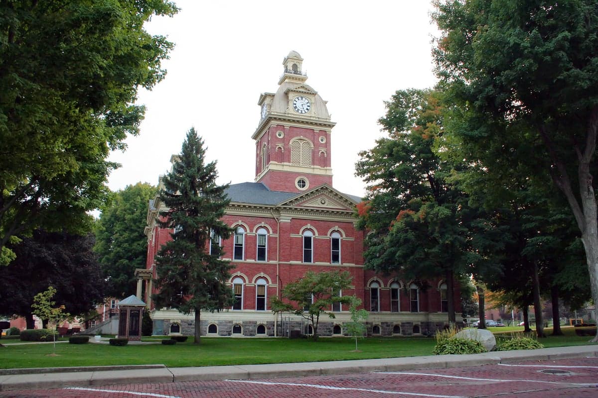
Photo: Wikipedia
Strategic Assessment of LaGrange County
Workable tactical position. Some exposure to population density or targets, but generally defensible in a crisis.
What does the Strategic Assessment tell us?
Our Strategic Assessment grades tactical survivability of an area. Major population centers, military targets, fallout zones, natural disasters, and border exposure all drive risk — lower exposure means a more defensible position in a crisis.
This is heavily inspired by Joel Skousen's Strategic Relocation book. Highly recommended you checkout the book ($)What does this tell us?
Our Strategic Assessment grades tactical survivability of an area. Major population centers, military targets, fallout zones, natural disasters, and border exposure all drive risk — lower exposure means a more defensible position in a crisis.
This is heavily inspired by Joel Skousen's Strategic Relocation book. Highly recommended you checkout the book ($)Strategic Pillars

Key Distances
Strategic Assessment Analysis
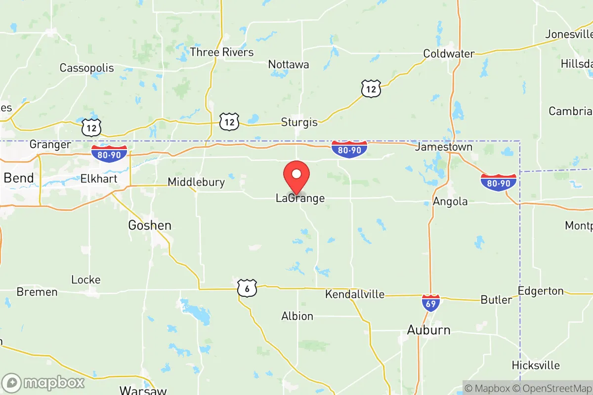
LaGrange County, Indiana, offers a compelling mix of geographic isolation and practical self-sufficiency that appeals to relocation-minded individuals and families with a conservative, preparedness-oriented outlook. Situated in the far northeastern corner of the state, the county sits roughly 35 miles northwest of Fort Wayne and 45 miles east of South Bend, placing it well outside the immediate blast or fallout zones of major metropolitan targets. The county seat of LaGrange and the smaller town of Shipshewana anchor a region defined by Amish and Mennonite communities, which inherently provides a decentralized, low-tech, and resilient local economy—a significant strategic advantage for anyone prioritizing long-term stability over urban convenience.
Geographic position and natural advantages for long-term stability
LaGrange County’s location is its strongest asset. It is bordered by Michigan to the north and is part of the larger Michiana region, a landscape of rolling hills, lakes, and woodlands that offers natural defensibility and resource abundance. The county is home to over 100 natural lakes, including the sizable Lake James and Snow Lake, which provide reliable freshwater sources and support local fishing. The terrain is not flat like much of the rest of Indiana; instead, it features moraines and kettle holes left by glacial retreat, creating natural barriers and choke points that would complicate large-scale movement. The area’s agricultural base is robust—corn, soybeans, and dairy dominate—and the presence of the Amish population means that horse-drawn transport, manual farming, and off-grid living are not fringe activities but daily realities. For a relocator, this translates into a built-in network of skills and infrastructure that would remain functional even during prolonged power outages or supply chain disruptions.
Risks, exposures, and proximity to fallout-relevant landmarks
While LaGrange County is far from the highest-risk zones, it is not immune to man-made threats. The most significant concern is the Palisades Nuclear Plant, located roughly 50 miles to the northeast in Covert, Michigan. Though decommissioning is underway, the site still contains spent fuel, and any accident or attack could send a plume across southern Michigan and into northern Indiana. Prevailing winds in the region are westerly, which somewhat mitigates this risk, but a major release could still affect the county’s northern tier. Additionally, the county lies within 100 miles of the Fort Wayne Air National Guard Base (122nd Fighter Wing) and the South Bend International Airport, both of which could become secondary targets in a conflict. The Chicago metropolitan area, a high-value target, is about 130 miles west—far enough to avoid blast effects but close enough that fallout patterns could reach LaGrange County under certain wind conditions. Natural risks are minimal: tornadoes are possible but less frequent than in the central plains, and the area’s lake-moderated climate reduces the likelihood of extreme drought or wildfire. Flooding is localized around the Pigeon River and smaller creeks, but most residential areas are on higher ground.
Practical resilience for a relocator: food, water, energy, and defensibility
For a family or individual serious about self-sufficiency, LaGrange County offers a rare combination of resources. Food security is the standout advantage. The county’s Amish and Mennonite farms produce a steady supply of fresh vegetables, dairy, eggs, and meat, much of it sold through local markets like the Shipshewana Auction and roadside stands. The presence of working farms means that neighbors possess practical knowledge of animal husbandry, crop rotation, and food preservation—skills that are increasingly rare in suburban America. Water access is excellent: the abundance of lakes and high water table means that private wells are common and reliable, and surface water from Lake James and the Pigeon River can be treated with basic filtration. Energy resilience is mixed. The local grid is served by Indiana Michigan Power, but outages during winter storms are not uncommon. However, the Amish population’s reliance on propane, wood, and solar for heating and cooking creates a local market for off-grid energy solutions. Wood stoves, backup generators, and solar panels are widely available and understood. Defensibility is aided by the county’s low population density—roughly 40,000 residents spread across 380 square miles—and its network of winding, rural roads that would be difficult for outsiders to navigate. The county seat of LaGrange and the town of Topeka are small enough that community cohesion is strong, and the local sheriff’s department maintains a visible presence. That said, the county is not a fortress: it has no natural mountain barriers, and the flat-to-rolling terrain offers limited cover for extended standoffs. The real defensive strength lies in the social fabric—neighbors who know each other and share a culture of mutual aid.
The strategic picture for LaGrange County is one of moderate-to-high resilience with manageable trade-offs. It avoids the catastrophic risks of coastal cities, nuclear targets like Omaha or Washington D.C., and the refinery corridors of the Gulf Coast. Its primary vulnerabilities—proximity to the Palisades plant and secondary fallout from Chicago—are real but not paralyzing, especially for a relocator who invests in a basement or storm shelter and maintains a basic radiation detection kit. The county’s agricultural base, freshwater abundance, and off-grid cultural infrastructure make it one of the more practical choices in the Midwest for a family seeking a balanced mix of safety, self-reliance, and community. It is not a bug-out location for survivalists looking for remote wilderness, but for a conservative-leaning household that wants to live a normal, productive life with a strong safety net, LaGrange County deserves serious consideration.

* Values derived from national, state, county, city and local statistics and may differ in a specific area. Last updated: 2026-10-31T19:20:04.000Z
Narrative content on this page is AI-generated and may contain mistakes. Verify any details that matter before acting on them.
ReloMaps may earn a commission from affiliate links at no extra cost to you.

