
Photo: Wikipedia
Strategic Assessment of Grant County
Workable tactical position. Some exposure to population density or targets, but generally defensible in a crisis.
What does the Strategic Assessment tell us?
Our Strategic Assessment grades tactical survivability of an area. Major population centers, military targets, fallout zones, natural disasters, and border exposure all drive risk — lower exposure means a more defensible position in a crisis.
This is heavily inspired by Joel Skousen's Strategic Relocation book. Highly recommended you checkout the book ($)What does this tell us?
Our Strategic Assessment grades tactical survivability of an area. Major population centers, military targets, fallout zones, natural disasters, and border exposure all drive risk — lower exposure means a more defensible position in a crisis.
This is heavily inspired by Joel Skousen's Strategic Relocation book. Highly recommended you checkout the book ($)Strategic Pillars

Key Distances
Strategic Assessment Analysis
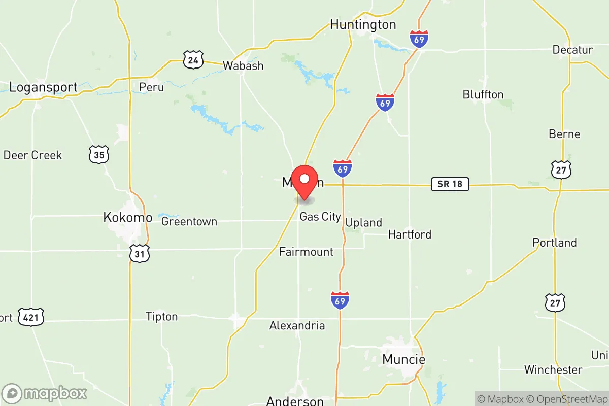
Grant County, Indiana, offers a strategic blend of Midwestern stability and practical self-sufficiency that appeals to relocation-minded individuals and families with a conservative, preparedness-oriented outlook. Anchored by the city of Marion, the county sits roughly 60 miles northeast of Indianapolis and 70 miles south of Fort Wayne, placing it far enough from major metropolitan centers to avoid the worst of urban congestion and fallout risks, yet close enough for supply runs or specialized medical care. The area's resilience is rooted in its agricultural base, modest population density, and a local economy that has weathered industrial shifts without collapsing, making it a credible option for those prioritizing long-term security over coastal convenience.
Geographic position and natural advantages for long-term security
Grant County's location in east-central Indiana places it within the Mississinewa River watershed, a tributary of the Wabash River system that provides reliable surface water and fertile bottomland. The terrain is gently rolling, with no major floodplains or fault lines, reducing exposure to earthquakes, hurricanes, or catastrophic flooding. The county's interior position—roughly 500 miles from the Atlantic and 300 miles from Lake Michigan—insulates it from hurricane storm surge and lake-effect snow extremes, though winter weather is still a factor. The surrounding landscape is dominated by farmland and mixed hardwood forest, offering natural resources for subsistence agriculture, timber, and game. The presence of Mississinewa Lake and Raccoon Lake within a 30-minute drive provides additional water reserves and recreational fishing opportunities, both of which are assets for a self-sufficient household. The area's relatively flat terrain also simplifies road maintenance and off-road travel compared to mountainous regions, a practical advantage for year-round mobility.
Risks, exposures, and proximity to fallout-relevant landmarks
While Grant County avoids the highest-risk zones for natural disasters, it is not without strategic vulnerabilities. The county sits within the Indiana-Ohio industrial corridor, which includes several chemical plants, oil refineries, and manufacturing facilities along the I-69 corridor. The most notable nearby risk is the BP Whiting Refinery in Whiting, Indiana, roughly 150 miles northwest—a major petroleum processing site that could be a target in a conflict or suffer a catastrophic accident. Closer to home, the Marion Municipal Airport and the former Grissom Air Reserve Base (now Grissom Aeroplex) in nearby Peru, Indiana, represent potential military or industrial targets, though both are low-priority compared to larger bases like Fort Hood or Wright-Patterson. The county's proximity to Indianapolis (60 miles) and Fort Wayne (70 miles) means that a major event in either city could produce fallout refugees or supply chain disruptions, but the distance is sufficient to avoid direct blast or radiation effects from most plausible scenarios. Tornado risk is moderate, with the county lying in the traditional "Hoosier Alley" zone; residents should have a storm shelter or basement plan. Overall, Grant County's risk profile is moderate-low for natural hazards and moderate for man-made threats, with the key advantage being its distance from high-value national targets.
Practical resilience for a relocator: food, water, energy, and defensibility
For a family or individual serious about self-sufficiency, Grant County offers a strong baseline. The agricultural economy means local food production is abundant: the county is a major producer of corn, soybeans, and livestock, with numerous small farms and farmers' markets in Marion, Gas City, and Jonesboro. Soil quality is good for home gardening, and the growing season runs roughly April through October. Water access is generally reliable, with most rural properties drawing from private wells; the Mississinewa River and its tributaries provide surface water for those with filtration systems. Municipal water in Marion is treated and tested regularly, but a well with a hand pump is a prudent backup. Energy infrastructure includes natural gas lines, electric grid connections via Duke Energy, and growing interest in residential solar—though net metering policies in Indiana are less favorable than in some states, so battery storage is recommended. The county's low population density (roughly 67,000 residents across 415 square miles) means that defensibility is naturally higher than in suburban or urban settings; properties with acreage and tree lines offer good cover and standoff distance. Local law enforcement in Marion and the county sheriff's office are generally responsive, but response times in rural areas can exceed 20 minutes, so personal security measures—fencing, dogs, firearms, and neighborhood watch—are practical investments. The Grant County 4-H Fairgrounds and local churches serve as community hubs for networking and mutual aid, which is often the most underrated resilience asset.
In the broader strategic picture, Grant County represents a balanced, low-profile relocation option for those who want to be out of the urban blast radius but not so remote that supply chains and community support vanish. Its agricultural base, moderate climate, and distance from high-value targets give it a resilience profile that outperforms many suburban or exurban alternatives in the Midwest. The trade-offs are real: limited high-paying jobs, a slower pace of life, and the need to invest in personal infrastructure (well, septic, solar, storage) to achieve true self-sufficiency. But for a conservative-leaning family or individual who values independence, community, and a defensible position, Grant County offers a credible foundation—not a bunker, but a place where preparation meets practicality.

* Values derived from national, state, county, city and local statistics and may differ in a specific area. Last updated: 2026-07-15T04:47:51.000Z
Narrative content on this page is AI-generated and may contain mistakes. Verify any details that matter before acting on them.
ReloMaps may earn a commission from affiliate links at no extra cost to you.

